Places I've Been... Roads I've Driven
| Interstates (All Interstates are on the State Pages) | ||||
|---|---|---|---|---|
| I-10 (TX) | I-24 (TN) | I-44 (MO) | I-65 (IN) | I-70 (UT) |
| I-80 (NE) | I-90 (SD) | I-94 (MN) | I-94 (MT) | I-94 (ND) |
|
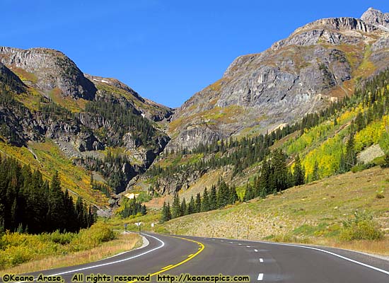
| There's a reason the word "Road" is in Road Trip! US-550 / Million Dollar Highway, Colorado |
Walt may or may not have been using the word "Road" as a metaphor (he probably was), but I'm going to assume he meant the kind you drive on. (The title at the top of the page may have been a clue.) I'll also assume he meant that pictures might look great, but it's nothing like being there in person, and actually driving The Road...
Sometimes, a great road just comes with the territory. For instance, the Going to the Sun Road in Glacier National Park and Old Fall River Road in Rocky Mountain National Park are two of the most scenic roads you'll ever hope to drive, but you probably went there to see the Park. The Road is just a bonus to the trip. Other times (at least for me), the road is the entire reason for being there. More than once I've routed my trips specifically to drive a road, because there's a reason the word Road is in Road Trip!
Really scenic roads can be a few short miles to multi-state drives. The longest, might be US-89, which touches (or comes close to) over a dozen parks and historical sites, as it follows the Rocky Mountains from Montana to Arizona.
However, most of the roads listed here are contained within a single state, with some exceptions like the Parkways, which are historic roads staffed and maintained by the National Park Service, and a couple of US Highways which span a state border.
I'm not sure where the dividing line is between a Road that is a truly worthwhile drive and a road that merely transverses jaw-dropping scenery. For instance, White Sands and Craters of the Moon National Monuments (complete opposites on the color spectrum) both have roads that go though alien (and very cool) scenery, but aren't included here because the roads themselves are somewhat unremarkable and are more like venues to get you through the Park. On the other extreme, Pikes Peak Highway and the Blue Ridge Parkway, are drives that are worthwhile for the drive itself, regardless of the fact the scenery surrounding each is calendar worthy material.
If you really look at the roads on this page, they all seem to fall into four categories: Mountain, Desert, River and/or Historic. I don't really differentiate between the types of roads, only that they're drive-worthy roads.
My Top 8 Roads:
- Utah-12, from Capitol Reef National Park (Torrey, Utah) to US-89 (near Panguitch, Utah).
- California-120, from Yosemite NP to Benton, California
- Pikes Peak Highway, Colorado.
- US-12, Northwest Passage Scenic Byway, from Missoula, Montana to Lewiston, Idaho.
- US-212, The Beartooth Highway, from the Northeast Entrance of Yellowstone National Park to Red Lodge, Montana.
- US-550, The Million Dollar Highway, from Durango, Colorado to Montrose, Colorado.
- Going to the Sun Road, Glacier National Park
- Old Fall River Road and Trail Ridge Road, Rocky Mountain National Park. Yes, I know that's two roads, but if you drive Old Fall River Road (which is one-way) and return to Estes, then you'll have to drive Trail Ridge Road.
Note all Interstate Highway images are on a State Page, and the images are all random enough that they don't have a link description below. (You can get to them from the index at the top of this page.) They are almost all taken at Rest Areas, or from the car because of some interesting subject.
Roads
| Arkansas Scenic 7 | |
|---|---|
|
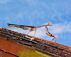
Arkansas Scenic 7 might be the first road I actively went out of my way to drive, while looking for an interesting way to get to Fort Smith, Arkansas. Since that time, I've driven it every time I had to go through that part of the country. Unfortunately, as repairs are made with federal funds, the road is being brought up to federal highway standards, which generally ruins the character of the drive. |
| Arkansas / 49 Images. Visited Feb 1986, Jun 1992, Jun 1998, Sep 2002, Sep 2005. | |
| Blue Ridge Parkway | |
|---|---|
|
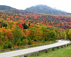
The Blue Ridge Parkway can be a spectacularly beautiful drive as it follows the crest of the Blue Ridge mountain chain, but that very fact can change low hanging clouds into fog on the parkway. A very common occurrence. Ugh. I have been on the parkway three times, but never North of the North Carolina border. |
| North Carolina, Virginia / 91 Images. Visited Mar 2000, Oct 2007, Sep 2011. | |
| Natchez Trace Parkway | |
|---|---|
|
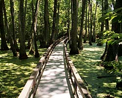
I've actually driven all 443 miles of the Natchez Trace Parkway, who's history goes back hundreds of years before the industrial revolution. Once one of the most important roads in young America, today it's preserved as a monument to its past history, with dozens of historic and scenic sites along its length. If you're travelling to a destination somewhere along the Trace, it'd be worth the extra half-day or so to drive a portion of it... |
| Mississippi, Alabama, Tennessee / 94 Images. Visited Jun 1998, Mar 2000, Nov 2011. | |
| Pikes Peak Highway | |
|---|---|
|
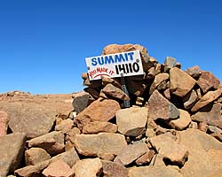
Pikes Peak Highway is a single purpose highway, specifically built as a tourist attraction. And it's a pretty good one, climbing to 14,100 feet via a few dozen switchbacks, with pull offs to enjoy the incredible views. You can also get to the top via a cog railroad, but what's the fun in that? I thought the air was thin at almost 12,000 feet in Rocky Mountain National Park, but the (lack of) air at 14,000 was actually noticeable. |
| Colorado / 58 Images. Visited Sep 2008. | |
| Utah State Route 12 | |
|---|---|
|
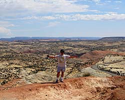
Utah State Route 12 (also named as the "Journey Through Time Byway") is my favorite road in America. The 124 mile road starts at a unnamed junction with US-89 and ends in Torrey, Utah, pretty much connecting Bryce Canyon to Capitol Reef National Park. In-between are a couple of those spectacular Utah State Parks, a National Monument and some jaw-dropping landscapes just off the side of the road. |
| Utah / 67 Images. Visited Sep 1997, Sep 2008. | |
| Utah State Route 24 | |
|---|---|
|
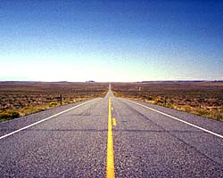
Utah State Route 24 was the southern detour around the San Rafael Swell for 35 years before I-70 opened through the wilderness. Today, it's still the way to get to Goblin Valley State Park, Capitol Reef National Park and the Waterpocket Fold. It is also one of the endpoints of Utah-12, a road everyone should drive at least once... |
| Utah / 35 Images. Visited Sep 1997, Sep 2008. | |
| Utah State Route 128 | |
|---|---|
|
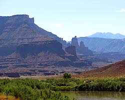
Utah-128 follows the Colorado River's meanders upstream (from Moab) for over 30 miles before turning toward (and joining) I-70. It is one of those roads which seemingly define some of the iconic views of the West, where the Colorado River lazily flows through the Red Rock desert with its sculpted mesas and pinnacles. There are also a couple of images of Cisco, an uranium mining town on US-6 near I-70. |
| Near Moab, Utah, Utah / 28 Images. Visited Sep 1997, Sep 2008. | |
| Utah State Route 261, The Moki Dugway | |
|---|---|
|
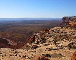
When I planning my 2008 trip, I was going to leave Monument Valley and go North to Natural Bridges National Monument via Utah-261. On every map the road took this tiny little squiggle, like a knot in a string. I actually had a detour ready in case the road was too... shoddy. It turned out to be a fantastic road. I did some research on it when I got back, and it turns out it actually had a name and some history... |
| Utah / 29 Images. Visited Sep 2008. | |
| Utah State Route 279 | |
|---|---|
|
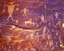
Utah-279 is an access road for the Potash mine in Moab. That said, it's a beautiful road that follows the Colorado River for some 15 miles, showcasing the vertical, sandstone cliffs of "Wall Street" which is rock climber and base jumper habitat. There's also a backdoor to Canyonlands National Park for high clearance vehicles, and some old graffiti left by the Fremont Culture a thousand years ago. |
| Utah / 9 Images. Visited Sep 1997. | |
| Wyoming State Route 296, Chief Joseph Scenic Highway | |
|---|---|
|
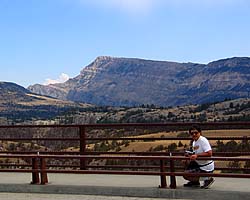
The Chief Joseph Scenic Highway is the other scenic route you can take out of the Yellowstone's Northeast Entrance. While not as spectacular as the Beartooth Highway, it's very scenic once you reach the mountains, and it puts you closer toward the Black Hills should you be going there on the way home. If you can only drive one, I'd recommend the Beartooth Highway, but Chief Joseph has its moments... |
| Wyoming / 35 Images. Visited Jul 2006. | |
| US-12, Northwest Passage Scenic Byway | |
|---|---|
|
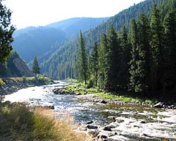
I drove the Northwest Passage Scenic Byway (also known as the Lewis and Clark Trail and the Nez Perce Trail), because I was doing a bunch of Lewis and Clark sites in July 2006. The road doesn't exactly follow the Lolo Trail through the Bitterroots, but it's a stunningly beautiful road, following the Lochsa River (and eventually the Clearwater) through the Bitterroot Mountains. There are also images of the Nez Perce National Historical Park (East Kamiah). |
| Idaho / 65 Images. Visited Jul 2006. | |
| US-20, Goodale's Cutoff | |
|---|---|
|
I've travelled US-20 (in Idaho) from the Western Border where it joins I-84 to Rexburg. The portion from Mountain Home to Idaho Falls was known as Goodale's Cutoff, a shortcut on the Oregon Trail skirting the basalt lava fields rather than following the Snake River. This link will take you to the Idaho State Page. |
| Idaho / 24 Images. Visited Jul 2006. | |
| US-24 (CO) | |
|---|---|
|
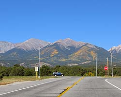
US-24 (CO) in Colorado is a nice mountain drive between Buena Vista and Colorado Springs. Along the way is Wilkerson Pass, Florissant Fossil Beds National Monument, Pikes Peak and Garden of the Gods, a Colorado Springs city park. This link will take you to the Colorado State Page |
| Colorado / 13 Images. Visited Sep 2008. | |
| US-26 / Palisades Reservoir / Snake River / Jackson, Wyoming | |
|---|---|
|
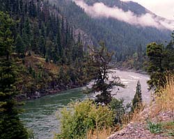
US-26 is the main way to get to the Southern Entrance of Grand Teton National Park, by following the Snake River from Idaho Falls to Jackson, Wyoming. There is a shorter, more direct route over Teton Pass, which also allows you to bypass Jackson should you wish. (Jackson is pretty much your best option for groceries, alcohol and food before entering Grand Teton, but it can be a madhouse during tourist season.) |
| Idaho / 21 Images. Visited Sep 1998, Sep 2001. | |
| US-30 (Idaho, Thousand Springs Scenic Byway) | |
|---|---|
|
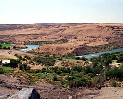
US-30 in Idaho from Bliss to Buhl has the nickname "Thousand Springs" because the rivers around Southern Idaho tend to sink through the upper crust of volcanic debris until it hits a hard basalt layer from previous volcanic eruptions, then channels the water underground into pools and underground rivers. The water re-emerges here, and at one time would gush out of the rock layers. However in recent years, they've started to capture the water for irrigation, so you'll actually see more pipes than springs. Ugh. |
| Idaho / 20 Images. Visited Sep 2001. | |
| US-50 (Colorado) | |
|---|---|
|
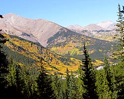
I drove US-50 (in Colorado) from Montrose to Salida, where I stayed for the night. Along the way is the Black Canyon of the Gunnison, which was much more stunning than I expected, then through the Curecanti National Recreation Area, and over the remarkable Monarch Pass in the San Isabel National Forest. |
| Colorado / 27 Images. Visited Sep 2008. | |
| US-89 | |
|---|---|
|
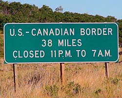
US-89 is a remarkable road that follows some of the most scenic areas of the West from Canada to Arizona, and along the way passes through (or comes within a few miles of) over a half dozen major Western Parks. Glacier to Yellowstone to Grand Teton, Bryce, Zion, Glen Canyon and Grand Canyon. I've actually frequented this road quite a bit, but in a disjointed, non-continuous fashion. |
| Visited Various | |
| US-160 / US-163 (Arizona) | |
|---|---|
|
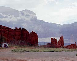
US-160 though Arizona lies completely within the Navajo Indian Reservation, from Four Corners to US-89 near the Grand Canyon. Monument Valley is a stone's throw from US-160, so you get to see quite a few sandstone rock formations that just jut out from the desert. (These images are on the Navajo Indian Reservation page.) |
| Arizona / 14 Images. Visited Sep 1997, Sep 2008. | |
| US-160 (Colorado, Wolf Creek Pass) | |
|---|---|

|
I drove US-160 from I-25 to the Four Corners. It's a nice drive, with several major attractions along the way, such as Great Sand Dunes and Mesa Verde National Parks, and a place you can stand on four states at one time. This page only has images from Colorado. |
| Colorado / 29 Images. Visited Sep 1997. | |
| US-212, The Beartooth Scenic Highway | |
|---|---|
|
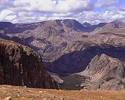
The Beartooth Scenic Highway is one of those magnificent mountain drives, this one crossing the Beartooth Mountains. It's a spectacular way to leave (or enter) Yellowstone from the East. I do list it as one of my must do drives. |
| Montana, Wyoming / 40 Images. Visited Sep 2001. | |
| US-395 | |
|---|---|
|
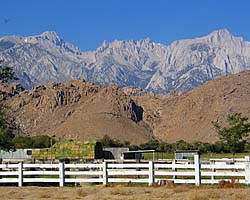
US-395 in California follows the rain shadow of the Sierra Nevada mountains. I drove it from Lone Pine (exiting Death Valley) to Yosemite National Park. |
| California / 7 Images. Visited Sep 2005. | |
| US-550, Million Dollar Highway | |
|---|---|
|
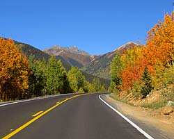
The Million Dollar Highway is a spectacular mountain road which crosses the mining country of Western Colorado. I drove it from Durango to Montrose in Colorado, a magnificent drive I'd recommend to anyone. |
| Colorado / 55 Images. Visited Sep 2008. | |
- 04/30/2016 - Initial deployment
- April 2017 - Upgrade to v3.4.
- September 2022 - Upgrade to v5.0.
| Help! | About This Site | Contact Me |
