
Pikes Peak Highway, Colorado
| Introduction | Ascent | Summit | Descent | Related Links |
|
| Click to go directly to the slideshow |
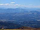
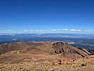
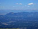
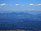
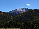
It exists for no other reason than to be able to drive to the summit of Pike's Peak. And what other reason do you need than that.
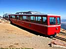
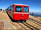
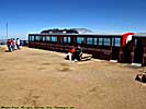
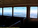
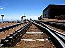
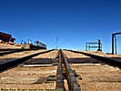
If you're not the driving type, you can take a cog tram up the side of the mountain. I understand you can even walk if you have the inclination, insane as that sounds.
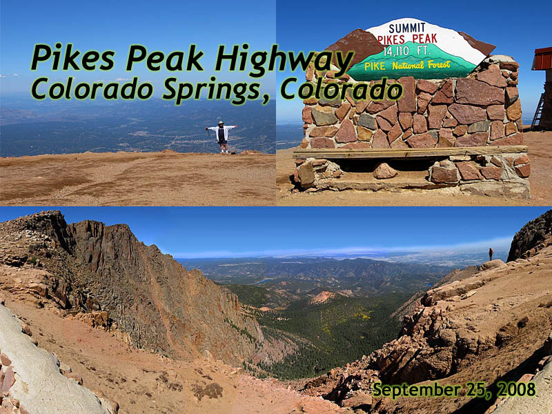
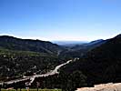
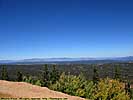
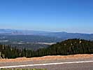
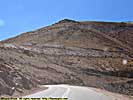
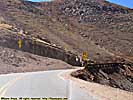
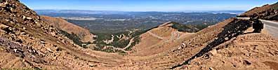
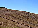
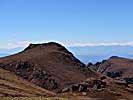
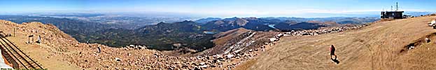
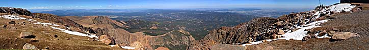
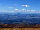
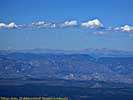
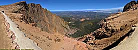
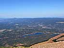
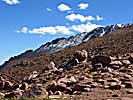
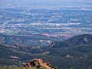
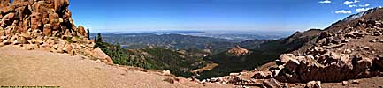
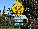
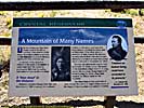
Here's the short of it. It costs $10/person (at least it did in 2008). It's 19 miles long, and start at an elevation of 7750 feet above sea level. In those 19 miles, it 6350 feet Length: 19 miles Start Elevation: 7750ft asl Summit Elevation: 14,110ft asl Maximum Grade: 10.5% Average grade: 6.7%.
|
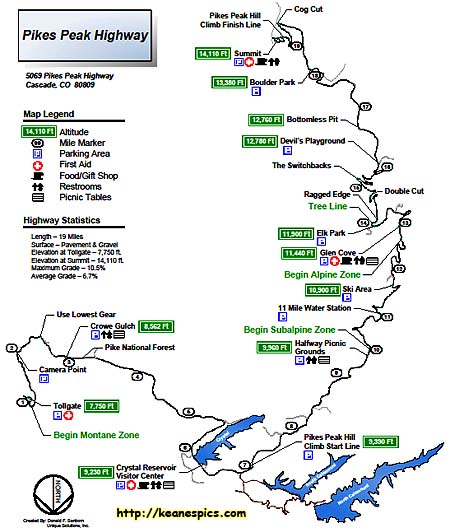
| This map was copied from the Pikes Peak website. |
|
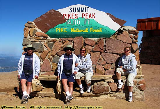
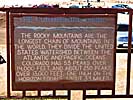
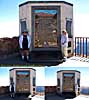
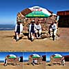
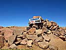
| Summit sign. Never believe a photograph. |

Related Links
| US-24 (Colorado) | |
|---|---|
|
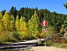
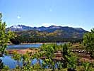
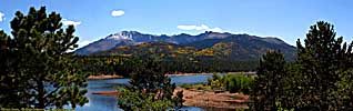
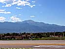
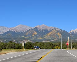
US-24 in Colorado is a nice mountain drive between Buena Vista and Colorado Springs. Along the way is Wilkerson Pass, Florissant Fossil Beds National Monument, Pikes Peak and Garden of the Gods, a Colorado Springs city park. |
| Colorado / 13 Images. Visited Sep 2008. | |
Pikes Peak Highway Trip Report: Sep 2008.
| Return to: | State Index | Colorado State Page | Roads |
|---|
- 04/30/2016 - Initial deployment
- April 2017 - Upgrade to v3.4.
- Sepember 2022 - Upgrade to v5.0.
| Help! | About This Site | Contact Me |