
2006 Pacific Northwest, Part 4
July 23 to August 12
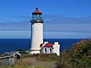
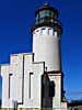
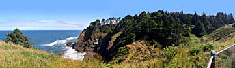
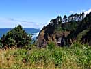
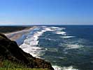
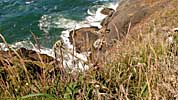
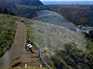
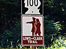
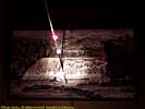
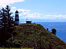
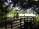
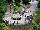
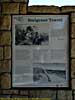
North Head Lighthouse - July 31
 |
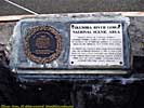
| 2006 Pacific Northwest Vacation - 21 days, 6700 miles. Days 9-11, North Head Lighthouse (WA) to the Experimental Breeder Reactor #1 (ID). |
The next morning I got my oil changed, and was allowed down into the bay to verify I had a cracked exhaust pipe. Nuts. The muffler was hanging by its hanger, and the exhaust pipe was resting on a cross-member, and was in no danger of falling off or dragging, so I left it that way. I would have to get it fixed, though.
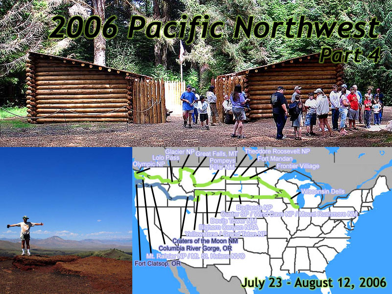
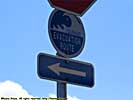
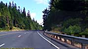
We followed Washington SR-4 on the North shore of the Columbia River to the Pacific coast. We would pass right by the North Head Lighthouse on the was to Camp Disappointment, so we stopped in.
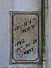
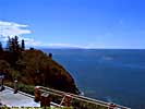
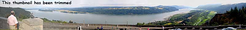
We were only about 90 miles South of Kalaloch as the crow flies, but it felt much longer since we detoured to Mount Rainier and Mount St. Helens in the interim. North Head Lighthouse is part of Cape Disappointment State Park, and was built in 1898, after several ships saw fit to founder on the nearby rocks.
It affords wonderful views of the mouth of the Columbia River from the 130 foot high cliffs.
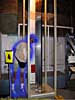
Couldn't climb to the top of the lighthouse, though. Jo had to do that.
North Head Lighthouse, Washington
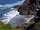
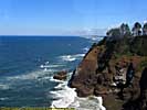
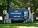
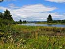
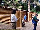
Cape Disappointment State Park - July 31
This point was occupied by William Clark and several of the other members back in 1805, hoping to spot and flag down a passing ship. They wanted to send back copies of their journals and maps, and perhaps a member of the party, in case something befell the Corps on the trek back across the West.When no ship could be seen, Clark named the place Cape Disappointment on November 18.
Since the Cape is, well, a Cape, the parking area was separate from the Visitor's Center, and up a substantially steep hill. We took the shuttle bus up the hill. The park and interpretive center was still under construction, and wasn't scheduled to be completed until 2006. By 1806, Lewis and Clark and Company had already broken up and had gone their separate ways. Someone messed up here big-time.
When we left, we found out the bus driver was on lunch, so we walked down the hill to the car.
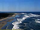
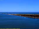
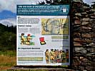
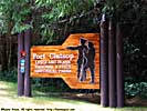
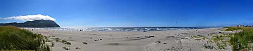
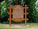
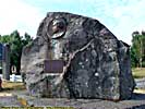
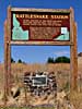
On the way to Fort Clatsop, we passed Station Camp, which is nothing more than a small pull-off, and a sign. It's the farthest West the Corps went by canoe. It is also where they took "The Vote" on November 24, on where to winter. They settled on the North side of the Columbia a little further inland, and built Fort Clatsop to stay the 1804-1805 winter. But that's a little further down this page.
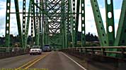
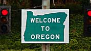
We crossed the Columbia on the Astoria Bridge and entered Oregon.
Cape Disappointment State Park
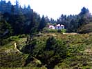
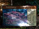
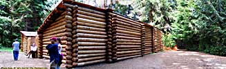
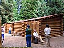
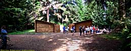
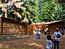
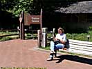
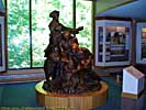
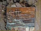
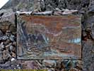
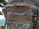
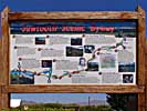
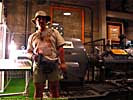
Fort Clatsop / Lewis and Clark National & State Historical Park - July 31
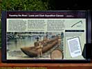
Having been to Fort Mandan, where the Corps wintered in 1803-1804, it was a natural extension to visit Fort Clatsop, where they wintered 1804-1805.The Lewis and Clark National & State Historical Parks, is a series of sites along the Oregon coast that held significance to the Corps winter here. From Cape Disappointment to the North, to Ecola State Park to the South, where a beached whale was discovered, and was quite an event.
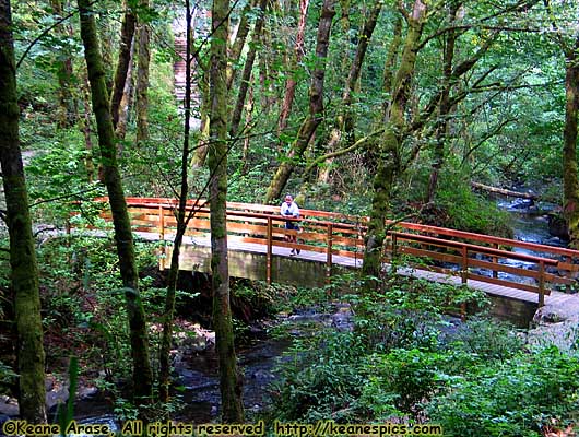
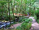
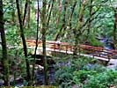
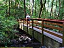
Like Cape Disappointment, the parking area is separate from the Historical Site, so you have to take a shuttle bus to the Visitors Center. Or you can take a one mile trail that follows the Lewis and Clark River.
And if you're wondering why the Fort looks so new, it's because the old one (and that one wasn't original either) burned down months before my trip. The Fort was up by that time (with the help of volunteers), but the rooms, nor anything in the interior of the fort was furnished. (Which is why there are no interior shots of the fort.)
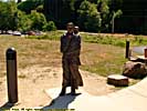
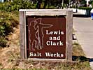
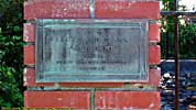
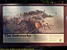
We finally made our way to Seaside, Oregon, where we visited the Salt Works, part of the park that's maybe 15 feet on each side, and it looks like it's in someone's back yard. Because it is.
From there, South on US-101, and East on US-26 to I-84, stopping in Troutdale, Oregon for the night, just short of the Columbia River Gorge National Scenic Area...
Fort Clatsop - Lewis and Clark National & State Historical Park, Oregon
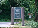
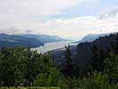
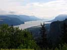
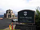
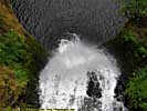
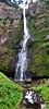
Columbia River Gorge - August 1
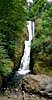
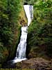
 |
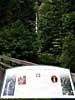
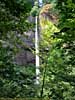
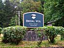
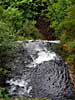
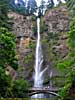
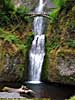
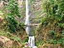
| Near Bridal Veil Fall, Columbia River Gorge. |
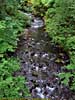
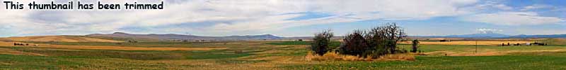
In carving it's way to the sea, it dug out a gorge through the volcanic rock and ash from the multiple eruptions from Mount Rainier, Saint Helens and Hood. West of those mountains, the Columbia River Gorge is a wonder of forests and waterfalls. East of those mountains, like most mountain chains, it's a virtual desert.
It's not the wild river it used to be, multiple power generation dams have tamed it, but it's still a navigable river, the main drainage for most of the Northwest.
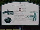
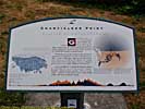
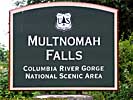
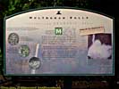
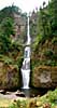
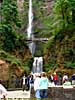
This trip really could have been the Trip Of Waterfalls, since I saw so many of them. I guess that's what happens when you visit mountainous places. Crown Point Road is the local scenic road that connects all the waterfalls along the Valley. It was closed beyond Multnomah Falls. Well, Multnomah Falls is a 620 foot high fall, and is supposedly the second highest year-round waterfall in the US, so we went to see it and had lunch in the Lodge there.
After leaving, we had to backtrack back to Bridal Veil (and looked for the post office to mail a postcard), but couldn't find it. More than that, the only entrance to I-84 is Westbound, so we had to take I-84 West until the next exit before we could turn around.
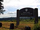
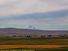
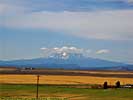
We also stopped at the Goldendale Observatory, to find it... Closed. It should have been open. But I digress. What the detour did, was allow a panoramic of both Mt. Hood St. Helens...
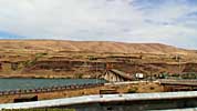
I-84 leaves the South bank of the Columbia at Boardman, Oregon, and turns Southeast toward Boise, Idaho. We would (sort of) join back up with my 2001 route in Pendleton, Oregon.
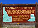
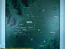
Ontario, Oregon; Gooddale's Cutoff - August 2
We stopped for the night in Ontario, Oregon. A hundred years ago, Horatio Jackson spent the night of June 10, 1903 in Ontario, where he found the railroad had delivered a new front spring, and four new tires.I spent the night in Ontario in a Sleep Inn, on the internet, attempting to find a muffler repair shop in Idaho Falls that could repair my cracked exhaust pipe. I found one, Art's Muffler Shop, who opened at 7:30am and would charge me $30 for the repair. The more things change, the more they stay the same.
The next day, instead of taking I-84 toward Nevada and Twin Falls we made our way to Mountain Home, and cut across Idaho down Gooddale's Cutoff, a shortcut on the Oregon Trail. Today, it's called US-20.
Ontario, Oregon; Gooddale's Cutoff
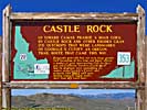
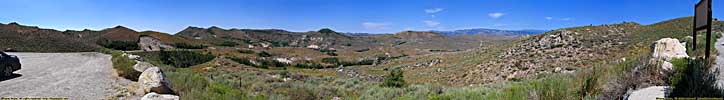
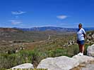
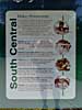
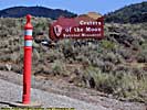
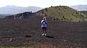
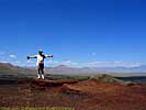
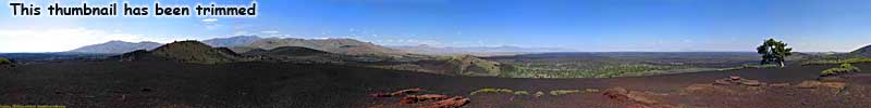
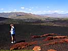
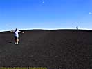
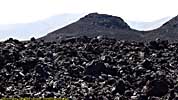
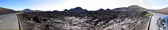
Craters of the Moon National Monument - August 2
My most vivid memory of going down US-20 through Southern Idaho was... Construction. That bane of any road trip, we had just missed the convoy going East, and was stuck there for about 40 minutes. Even if I had known, there wasn't anything I could have done about it. There aren't exactly any plethora of roads through this deserted portion of the country.The main reason for going this way, was to stop in Craters of the Moon National Monument, and actually get to EBR-1 when it was open. EBR-1 is open seasonally, and it had closed for the winter the week before I got there in 2001.
Regardless, it was a much more pleasant trip this time, even with the construction. The last time I was here, was on September 11, 2001...
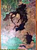
I had explored much of this park in 2001, and was mainly here to take some panoramics and hi-def video. The winds were tremendous, however, and seemed to blow warm to hot to warm to hot...
Craters of the Moon National Monument
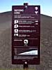

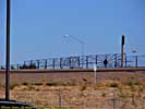
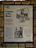
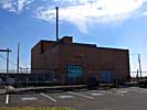
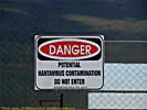
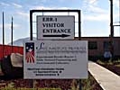
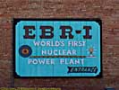
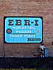
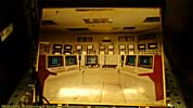
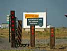
Experimental Breeder Reactor #1 - August 2
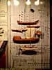
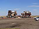
Soon after you leave Craters, you enter a town called Arco, Idaho, the largest town in the area with just over 1000 residents. It has the unique distinction of being the first city to be powered by nuclear energy.This was due to its proximity to the Idaho National Engineering Laboratory, a vast empty plain where more than 50 nuclear reactors have been built, including the first breeder reactor, EBR-1 (short for Experimental Breeder Reactor #1.) On Dec. 20, 1951, the reactor became the first atomic reactor to generate a usable amount of electricity.
I was here in 2001, but the historic site is only open from Memorial Day to Labor Day, and I had missed it by a week. It was open this time, but since I was caught in that darn construction I was only able to spend about 45 minutes there. Still, this place ushered in the modern era, and I was glad to have visited it.
We stopped for the night in Idaho Falls.
End 2006 Pacific Northwest - Part 4.
| Jump to: | Part 1 | Part 2 | Part 3 | Part 4 | Part 5 | Part 6 | Part 7 | Part 8 |
|---|
- 09/16/2013 - Finished update to v3.11
- 08/31/2014 - Update to v3.2
- September 2022 - Upgrade to v5.0.
| Help! | About This Site | Contact Me |