
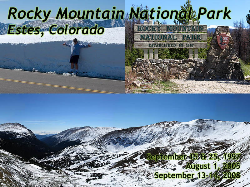
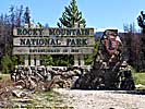
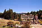
Rocky Mountain National Park
|
| Click to go directly to the slideshow |
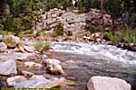
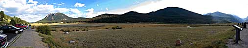
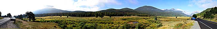
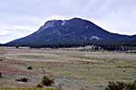
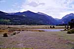
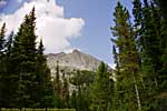
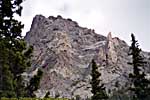
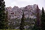
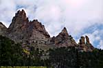
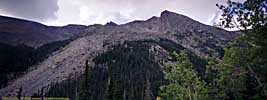
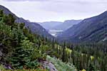
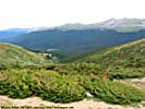
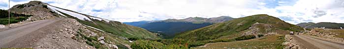
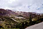
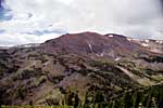
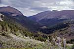
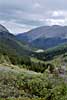
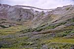
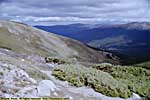
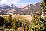
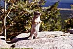
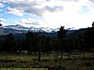
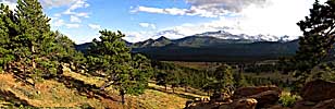
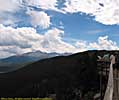
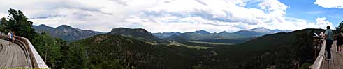
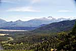
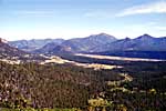
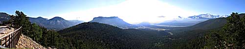
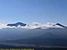
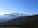
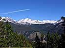
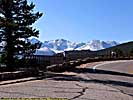
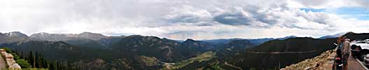
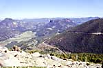
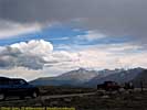
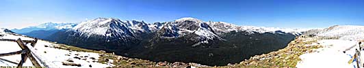
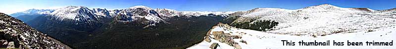
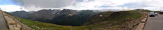
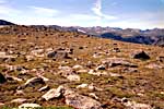
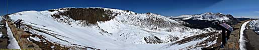
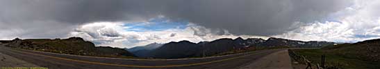
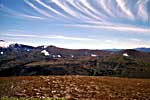
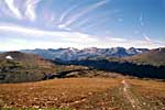
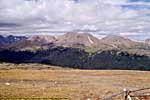
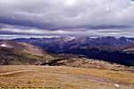
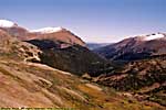
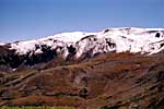
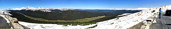
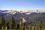
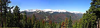
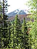
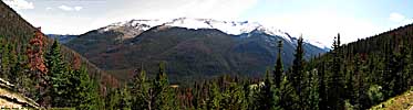
This park is the definition of Purple Mountain Majesty, and even though the Rocky Mountains range from New Mexico to Canada, it seems fitting that the namesake's national park be located here. Colorado is home to 56 fourteeners, or mountains that reach a peak height of 14,000 feet or more. Just within the 415 square miles of park, there are 76 peaks that are 12,000 feet or higher.
| |
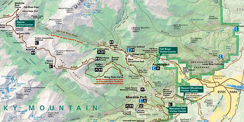
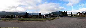
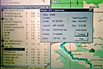
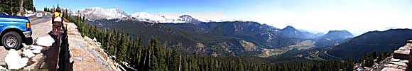
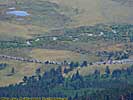
| Cropped map from Estes Park to Fall River Pass. Click for a full map. |
|
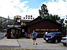
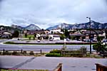
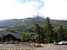
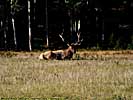
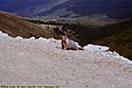
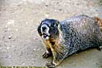
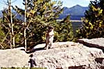
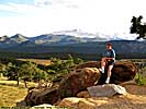
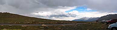
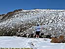
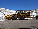
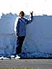
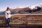
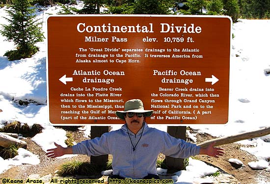
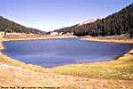
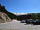
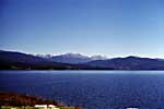
| Stupid Tourist Pic... |
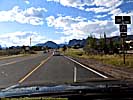
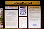
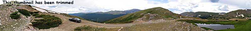
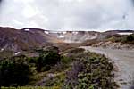
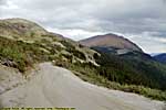
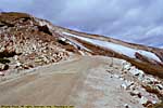
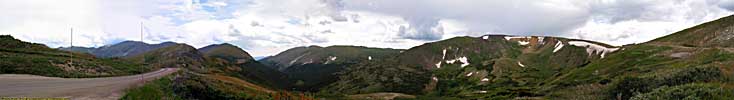
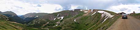
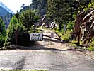
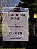
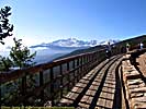
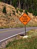
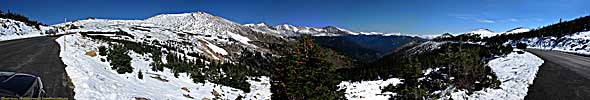
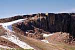
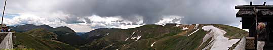
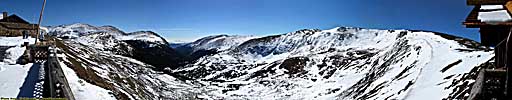
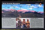
Old Fall River Road - Start to Chapin Pass
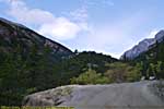
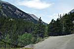
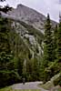
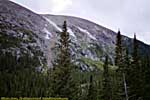
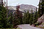
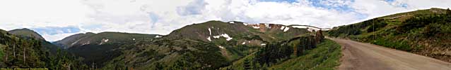
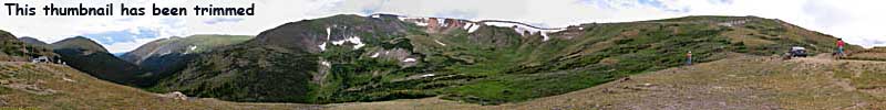
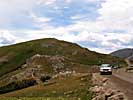
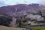
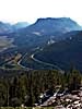
Old Fall River Road - Chapin Pass to Fall River Pass

|
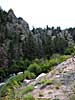
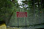
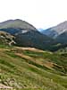
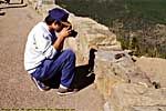
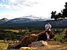
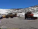
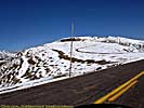
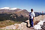
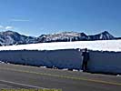
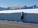
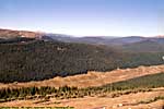
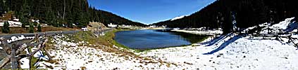
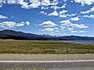
| Stupid Tourist Photo... |
Related Links
| Colorado River | |
|---|---|
|
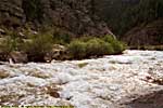
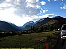
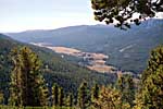
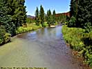
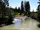
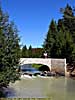
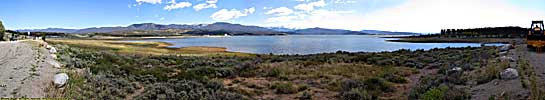
The Colorado River starts as a small stream in Rocky Mountain National Park, and gathers hundreds of other streams and rivers along the way to become the lifeline of the Southwest, providing water, electricity and recreation to millions in the five states the river flows through or touches. I've actually followed the river in one form or another, from Rocky Mountain National Park to Grand Canyon. I've also done more river miles on the Colorado than any other river... |
| Colorado, Utah and Arizona / 55 Images. Visited Sep 2005, Sep 2008. | |
Rocky Mountain NP Trip Report: Sep 1997(1), Sep 1997(2), Jul 2005, Sep 2008.
| Return to: | State Index | Colorado State Page | National Parks |
|---|
- 04/30/2016 - Initial deployment
- April 2017 - Upgrade to v3.4.
- August 2022 - Upgrade to v5.0.
| Help! | About This Site | Contact Me |