San Antonio Trips, Part 2
June 5 - 14, 1992 & June 12 - 21, 1998
San Antonio Missions National Historical Park (continued)
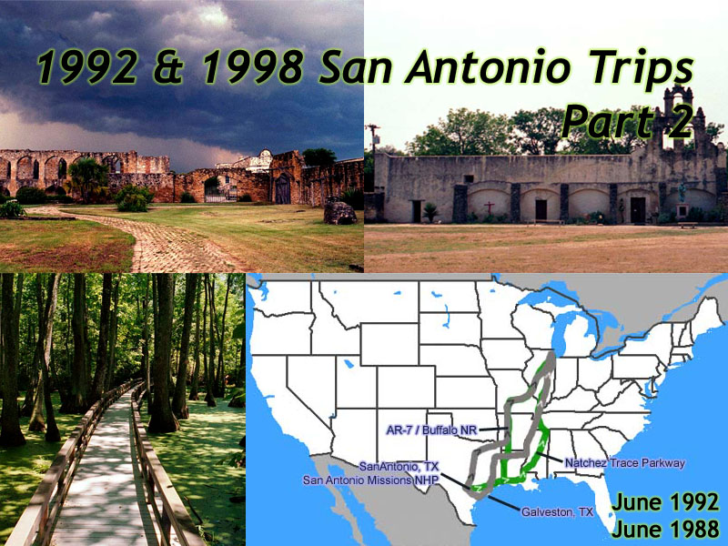 |
| My 1992/98 San Antonio Trips. 1992: 10 days, 3100 miles. 1998: 10 days, 3050 miles. The black arrows represent my 1992 route from San Antonio, the white arrows are my 1998 route. |
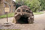
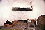
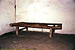
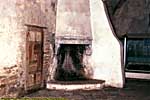

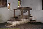





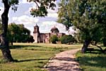
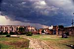
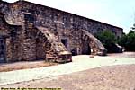
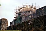

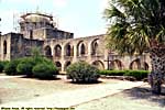
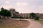
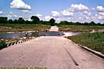
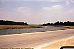
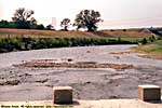
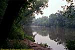
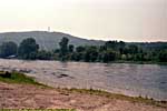
The river is normally lower, but heavy rains closed the ford in 1992.
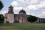
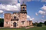
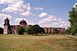
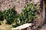
Mission San Juan Capistrano, San Antonio Missions National Historical Park

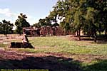
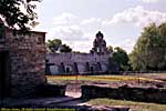
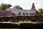
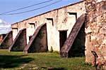
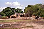




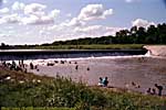
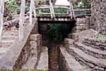
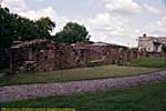
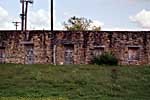
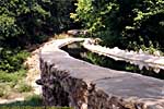
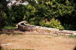
This is the last working Spanish Aqueduct remaining in the US. It was completed in 1745, and carried water to Mission Espada for irrigation.
Espada Aqueduct, San Antonio Missions National Historical Park
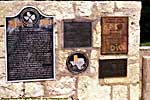
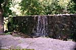
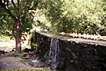
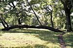
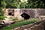
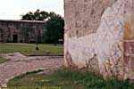
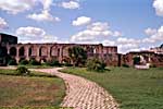
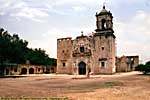
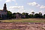
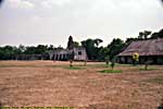
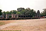
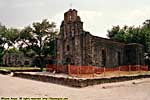
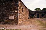
In 1992, the San Antonio River was high, so the ford across the river was closed. Since I didn't have a map, and was following Road signs to Mission San Francisco de la Espada, I never got to Mission San Francisco de la Espada
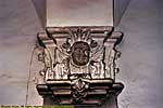
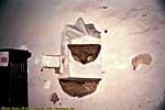
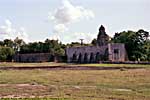
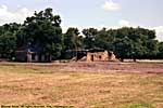
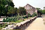
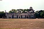
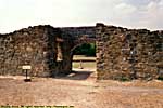
In 1998, the church had a significant fire, and was closed. I'm destined never to see the inside of this chapel...
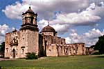
Mission San Francisco de la Espada (Mission St. Francis of the Sword), San Antonio Missions National Historical Park



Return home, 1992
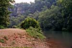
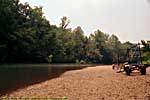
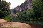
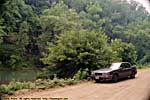
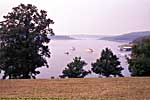
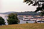
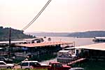
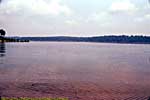
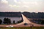
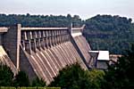
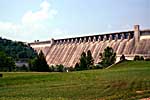
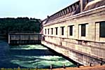
On the trip down, I followed the Great River Road, and then the Gulf Coast, something I'd never seen. So on the way back, I went up through the Ozarks, mostly following Scenic-7. If you follow it to the end of the road, it takes you to Bull Shoals.The Natchez Trace Parkway (Part 1)
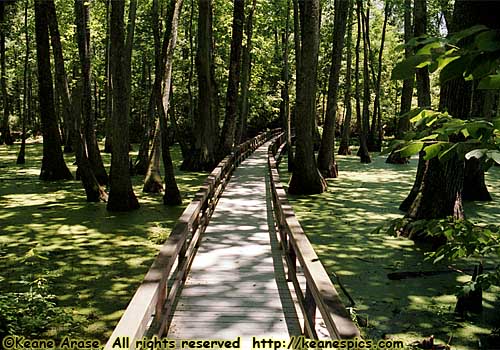 |
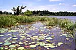
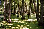
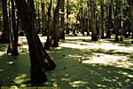
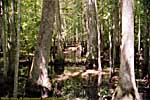
| A tupelo swamp along the Natchez Trace Parkway. |
The Natchez Trace (or Natchez Road, as it was originally called) has fuzzy origins. It always seems to have existed. It probably developed like most trails, a game trail turned into a series of trading and hunting paths, which eventually became an unbroken road from the Mississippi River to Central Tennessee. The earliest known existence, was on French map in 1733, showing an Indian Trail going to the Northeast.
By the mid-1700's, Americans were floating goods down the Ohio River to the Mississippi River, eventually to Natchez and New Orleans, the Southwest corner of the U.S.A. at the time. The boats would be broken up for their lumber, and The Natchez Road was the primary road travelers used to return to the Tennessee Valley. Of course it was full of Highwaymen, hostile Indians and blood sucking insects, not to mention the Road was in many low-laying areas, which flooded quite often...
When Steam power finally made its way up the Mississippi and Ohio Rivers, the Natchez Road became just another peaceful trail.
Amazingly enough, its importance wasn't forgotten. Today it's a two lane, winding, limited access, non-commercial road 442.3 miles long, that starts in Natchez, Mississippi and ends in the Cumberland Valley in Tennessee (near Nashville and the Loveless Cafe). There are many places where you can walk or drive the original Trace, as well as visit some important places in this country's history.
I made it from Natchez to Tupelo, Mississippi in 1998. I really wanted to do it all, but a small back problem made me abort the trip. I finally finished the road in 2000, only this time I took the road from the Terminus (literally the end of the road) near Nashville, to Tupelo. I also returned in 2011, to visit the grave of a man who's path I followed in 2006...
End 1992 & 1998 San Antonio Trip - Part 2 of 2.
| Jump to: | Part 1 | Part 2 |
|---|
- 07/20/2013 - Update to v3.11
- 08/31/2014 - Update to v3.2
- September 2022 - Upgrade to v5.0.
| Help! | About This Site | Contact Me |

