
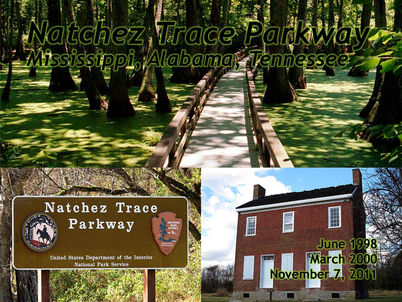
Natchez Trace Parkway
Mississippi, Alabama, Tennessee
|
| Click to go directly to the slideshow |
Introduction
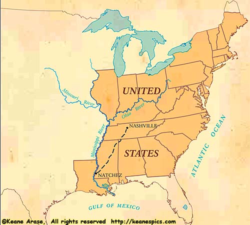
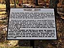
The Trace has existed for a long time. It appears on is a 1733 French map, showing a road that goes to the Northeast. It probably started as a game and hunting trail, then a trading route, and by the late 1700's and early 1800's, it was a well travelled and protected road. (It's also commonly referred to as the "Natchez Road".)Merchants along or near the Ohio River would build a boat, and float their goods down the Ohio and Mississippi Rivers to various markets along the way. The eventual destination would be Natchez or New Orleans, where they would sell the boat to be broken up for the lumber. They would then buy a horse or walk back home via the Natchez Trace which stretched from Natchez, Mississippi to Nashville, Tennessee on the Cumberland Plateau.
|
| The United States (Before the Louisiana Purchase) |
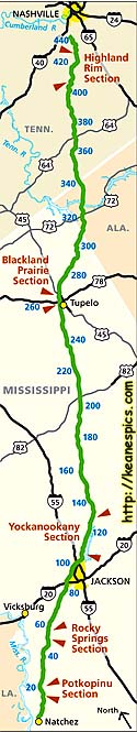
Today, the Natchez Trace Parkway (established in 1938) is a 443 mile, two lane, limited access road, with a maximum speed limit of 45 MPH. It starts in Natchez, Mississippi (mile 0) and heds Northeast. It clips the corner of Alabama for 30 miles, then the parkway ends about 20 miles Southwest of Nashville in Pasquo, Tennessee.
While the original Trace did reach Nashville, the path is through (now) urban areas, and only exists as a dotted line on a map. So you don't have to drive through those urban areas which could take hours, they built a short connector to I-40 at the terminus of the parkway.)
|
| Click on the map for a detailed parkway map. |
The Natchez Trace Parkway
The Natchez Trace is only one of a few National Park Service venues that are tasked to preserve a road. It is designated a Parkway, but in reality it's a very long historical and preservation park. There are dozens of scenic pullouts and places of interest along the Trace, all designated by "Milepost", the Trace's version of a mile marker. (Mileposts start at zero in Natchez, and ends at Milepost 443 in Tennessee.)I drove the Trace from Natchez to Tupelo, Mississippi in 1998, on the way back from a business trip. I completed the Trace from Nashville to Tupelo in 2000 when heading down South on a vacation. There was another short drive in 2011 from Meriwether Lewis to the Terminus, just because I was going to be (somewhat) close, and wanted updated images of the Meriwether Lewis Site. (When I had come across the site in 2000, it was a dark, overcast, rainy day, and the pictures I had were pretty bad. It was more of a tribute to the man I had crossed the path of so many times out West.)
I admit, I'd have more pictures of the Trace if I drove it when I was digital, but you were much more careful with your shots when film was the medium of the day...
Some observations:
- Technically, at 443 miles, you could drive the entire trace on one day at the speed limit. But you'd be missing the point. The whole point of this Parkway, is to enjoy the drive, and perhaps re-visit a bit of history from the early 1800's. If you want to just race down it, you might as well take the Interstates through Memphis and save four hours of driving at legal speed limits. If I was going to drive it today, as my primary destination, I'd probably take two or three full days to do it.
- Do some planning. Informational signs on the Parkway (gas, lodging, food, etc.) are minimal, and no commercial advertisement is allowed. If you're planning a multi-day trip, you might want to research lodging and food. There is only one gas station on the Trace, but at 443 miles long, you probably don't need more than one.
- Get better maps of the sections of the Trace you're going to drive. (See my discussion on Maps.) The NPS Map (a digital copy is linked from this page) is a decent enough map for the Trace itself, but it's lacking in other detail, such as the supporting cities along the way. (The actual size of the NPS paper map is 11.25" x 48" with a summary of the points of interest on the opposite side.)
- You may want to look at the summary of the point of interest, and note their milepost. There are places you can even drive part of the Old Trace, and more than a few places to hike it. There are several historic sites, a few dozen scenic viewpoints and walks, and even the grave site of Meriwether Lewis. If you're really into it, there are books about what is along the Trace with suggestions on how to tour it. If you're on a multi-day trip, it might help determine an overnight stopping point.
- Plan on 30 minutes to an hour average per stop. An overlook might be only 10 or 15 minutes, but walking part of the Old Trace, or exploring some small hollow along the way could take a while, if that's your thing...
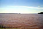
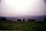
Natchez, Mississippi (MP 0) to Ross Barnett Reservoir (MP 105)
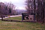
There is a visitor's center in Natchez, and the trace now starts in Natchez, rather than a few miles outside of the city like it used to.When I had first planned on taking the road on the way home from San Antonio in 1998, I didn't know of all the attractions along the road until I got to the Visitor's Center, so I didn't have the time to make more stops, nor did I spend any time in Natchez itself. (I also had this little back problem from sleeping on a strange bed for a week...)
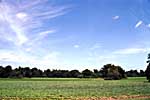
Natchez Trace Parkway - Natchez, Mississippi (milepost 0) to Ross Barnett Reservoir (milepost 105)

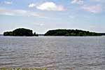

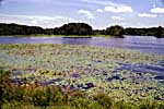
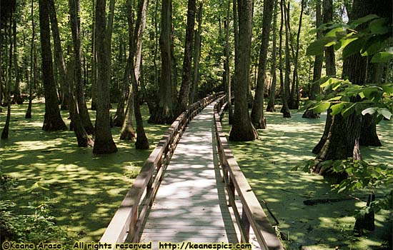
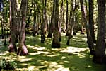
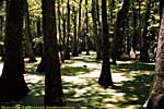
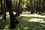
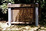
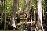
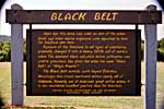
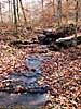
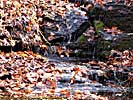
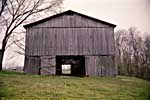
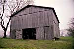
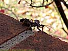
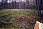
Tupelo Swamp (MP 122) to Black Belt (MP 253)
|
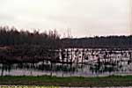
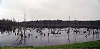
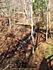
| Tupelo Swamp |
It probably would have been better if I was there when it wasn't deserted and dead quiet. :-)
I had started the day someplace in Louisiana, and made it as far as Tupelo, where I stayed overnight. Since my back was giving me problems (I blame it on bad genes), I left for home from Tupelo the next morning. So after Black Belt, the pictures transition from 1998 to 2000 and 2011.
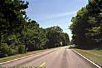
Tupelo Swamp (milepost 122) to Black Belt (milepost 253)


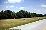


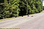
I don't recall a state border sign, and since this was film, I don't have a time stamp to even roughly figure out where these were taken. I seem to remember stopping to take a picture only because it was in Alabama, so these might be it.
Around the Alabama/Tennessee border
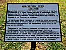
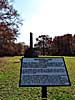
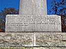
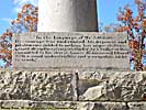
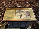
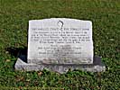
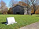
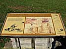
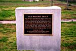
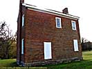
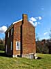
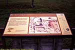
Meriwether Lewis Burial Site (MP 385.9)
|
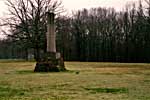
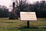
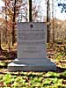
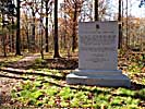
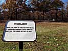
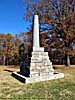
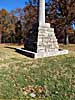
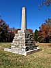
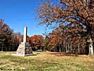
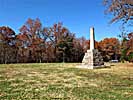
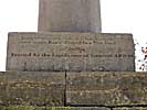
| Meriwether Lewis Burial Site... |
When I drove the Nashville Terminus to Tupelo leg in 2000, I was ignorant of why Meriwether Lewis would be buried along the Natchez Trace. The signage at the site never suggested the cause of his death, stating it was under "mysterious circumstances".
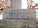
It wasn't until I read Undaunted Courage by Stephen Ambrose, that I understood what really happened to Lewis and Clark and the Corps of Discovery. His death was more "tragic consequences" than "mysterious circumstances", a man rewarded by being put into a position he was utterly incapable of fulfilling.
Meriwether Lewis was appointed the governor of the Louisiana Territory as reward for his journey out West in 1806. During that trip out West, the everyday hardships and the co-leadership and friendship of William Clark kept him focused. Those two keys disappeared after his return. Soon to follow were several personal failures, and even Thomas Jefferson had noted Lewis had a problem with (what we call now) depression. By 1809, it led him to alcoholism and drugs. He was traveling to Washington from St. Louis, to personally discuss some budgetary problems to those in Washington, when on the night of October 11, 1809 he committed suicide while having hallucinations at Grinder's Stand. As he was dying, he still believed Clark was coming to save him...
It was a truly sad end for a real hero and pioneer of our country.
Maybe appropriately, it was a particularly crappy day when I was there in 2000. Not only was it overcast, but the consumer grade film I was using color shifted slightly.
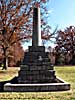
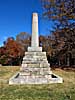
In November 2011, I was going to be in Tennessee and (somewhat) close to the Trace. I decided to go back out there if it was a better day. Well, it was. So I kept two of the images from the old photo set to show the old monument, versus the new one built sometime in-between. It was either rebuilt for the bicentennial of Lewis and Clark's journey (A lot of money was poured into the L&C sites around the country) or the 200th anniversary of his death.
The monument is located in a pioneer cemetery, but the cemetery was created after Lewis was buried there.
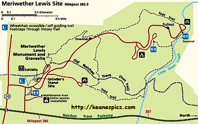
|
| Click on the map for a detailed map. |
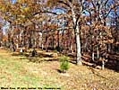
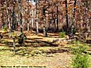
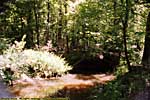
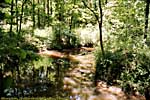
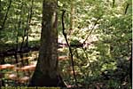
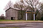
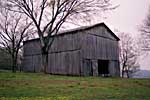
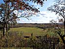
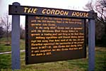
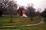
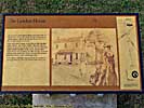
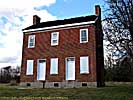
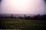
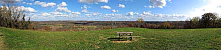
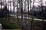
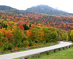
Swan View (MP 393) to Gordon House (MP 408)
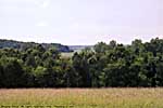
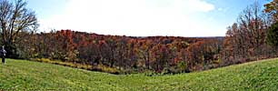
The appearance of the trace does change as you leave the lowlands and swamps of Mississippi, and the scenery starts to give way to hilly terrain.
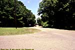
Swan View (milepost 393) to Gordon House (milepost 408)

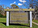
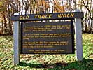


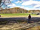
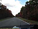
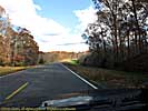
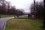
Water Valley Overlook (MP 412) to Terminus (MP 443)
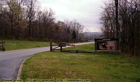
|
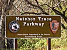
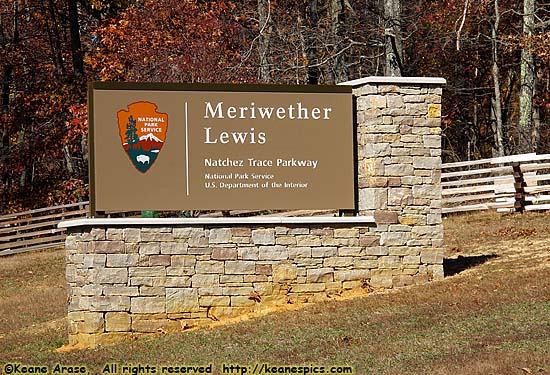
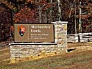
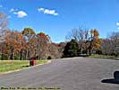
| Terminus Entry Sign... |
Water Valley Overlook (milepost 412) to Terminus (milepost 443)

The Natchez Trace is a nice drive, so long as you're not in a hurry to get anywhere. It's good that the park service is trying to preserve one of the most important roads in early America. It may not be as scenic as the Blue Ridge Parkway, but the Trace was a real road back in the 1700's and 1800's, so holds some real historical creds. If you're out for a road trip, or are in the area and can travel the Trace for a few miles, I'd recommend it.
Related Links
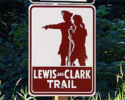
| Lewis And Clark | |
|---|---|
|
I've visited a few Lewis And Clark sites, from Philadelphia to the Pacific Northwest. |
| Visited Various. | |
| Blue Ridge Parkway | |
|---|---|
|
The Blue Ridge Parkway can be a spectacularly beautiful drive as it follows the crest of the Blue Ridge mountain chain, but that very fact can change low hanging clouds into fog on the parkway. A very common occurrence. Ugh. I have been on the parkway three times, but never North of the North Carolina border. |
| North Carolina, Virginia / 91 Images. Visited Mar 2000, Oct 2007, Sep 2011. | |
Natchez Trace Parkway Trip Reports: Jun 1998, Mar 2000, Nov 2011.
| Return to: | State Index | Mississippi State Page | Alabama State Page | Tennessee State Page | Roads |
|---|
- 04/30/2016 - Initial deployment
- April 2017 - Upgrade to v3.4.
- August 2022 - Upgrade to v5.0.
| Help! | About This Site | Contact Me |