2005 Desert Southwest Vacation, Part 2
September 6 to 22
Saguaro National Park (East Unit) - September 11
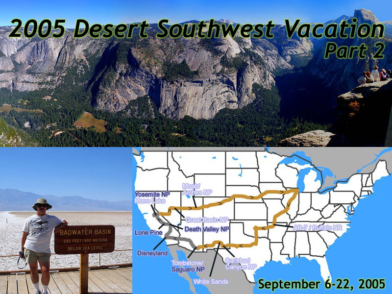 |
| 2005 Desert Southwest Vacation - 17 days, 5960 miles. Days 5-11, Saguaro National Park to Yosemite National Park. |
Tombstone lies on the Eastern Edge of the 120,000 square mile Sonoran Desert. After passing interesting things like border patrol checkpoints, we turned the car toward the interior of the hottest of the North American deserts. Not an hour's drive from Tombstone, you reach the classic, stereotypical view of the West.
Saguaro National Park covers is just over 91,000 acres, and is split into two Districts. The Tucson Mountain District and the Rincon Mountain District, separated by some 30 miles, with Tucson, Arizona lying between them.
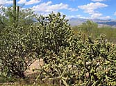
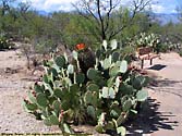
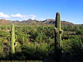
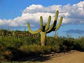
The park is named for the Saguaro Cactus it protects, but it really preserves a portion of the Sonoran Desert. But make no mistake, the Saguaro Cactus, the monarch of the Sonoran Desert, is the centerpiece here.
The Saguaro grows slowly. It takes 15 years to grow to a foot. By 30 years, it could be 5 to 6 feet tall, and will finally begin to flower and produce fruit. At 75 years, the Saguaro may finally sprout arms. At 150 years, the Saguaro may be 50 feet tall, and weigh 8 tons.
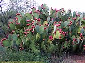
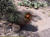
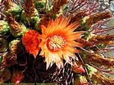
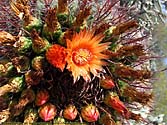
We did the Cactus Forest Drive in Saguaro's east unit, an 8 mile drive through the Saguaro Forest.
Saguaro National Park (East Unit), AZ






Saguaro National Park (West Unit) - September 11
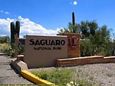
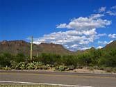
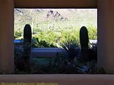
After a quick drive through downtown Tucson and a half-dozen detours due to some flash flooding (whee), we got to the West unit, which is a bit more primitive than the East unit.After we left the park, we followed I-10 through Phoenix, and spent the night to Blythe, California.
Saguaro National Park (West Unit), AZ



Disneyland Resort - September 12 - 14
It was Disneyland's 50th anniversary. I was there for a day in 1969, and I only remember bit and pieces. Any real memories were probably blotted out by my many trips to Magic Kingdom at Disney World. So it was interesting to go back and see what it looked like.And it was nothing like I remembered it. Disneyland feels almost claustrophobic compared to Magic Kingdom, and I just couldn't get used to the size of the castle. Still, it was interesting to see the origins of Disney, as well as California Adventure, which has since been re-imagined...
Disneyland Resort has its own page. To go there, click on the Castle...
Death Valley National Park, September 15
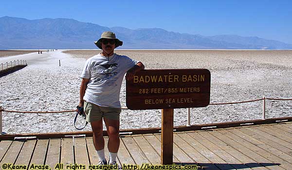 |
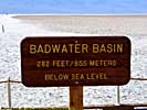
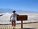
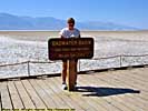
| I'm a sucker for posing next to signs like this. Badwater Basin, Death Valley National Park. |
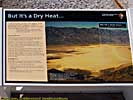
It's a particularly interesting place to visit. Not only is it the driest place in the northern hemisphere, but it's also the lowest point in the western hemisphere.
One of the guide books recommended we go in one entrance road, and leave via another, so we circled around the southern end of the park, and headed for Death Valley Junction.
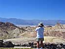
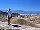
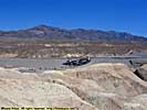
We first stopped at Zambriskie Point, which overlooks the Amargosa Range to Death Valley. The panoramics are spectacular.
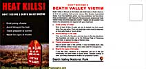
A quick stop in at the Furnace Creek visitors center, provided us with a map and a free postcard.
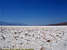
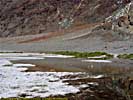
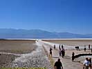
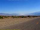
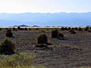
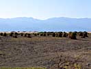
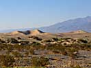
Badwater Basin is probably the most famous spot in Death Valley, at 282 feet below sea level. We walked about a mile into Badwater Basin, far enough from the other tourists to take some panoramics. My car's ambient temperature reading was 105 degrees. Brutal.
Death Valley National Park, Part 1




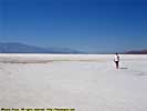
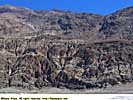
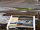
Death Valley National Park, Part 2
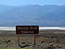
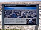
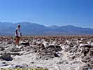
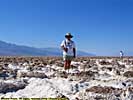
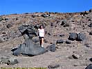
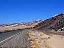
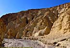
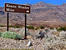
The Devil's Golf Course, is the remnants of a lake that dried up over 2000 years ago. The salt and silica form a rough, rock hard surface, almost impossible to walk on.A little further up Furnace Creek Road, and we strolled part of Golden Canyon. It's a hiking trail that can take you all the way to Zambriskie Point.
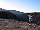
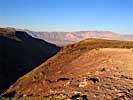
We left via the West Entrance (with a stop at Father Crowley Point), and headed toward our reservation in Lone Pine, California.
Death Valley National Park, Part 2







Lone Pine, California - September 15 & 16
We stopped for the night in Lone Pine, California, in the Owens Valley. It's a virtual desert in the rain shadow of Mount Whitney, and is home to literally hundreds of movies and television commercials. IMDB lists over 400 movies filmed here.I'd go into the entire sorted history of this area, but if you'd just google "Owens Valley Mulholland Eaton", you see California politics at its finest, in the early 1900's...
Yosemite National Park, Day 1 - September 16
"I think a family vacation in the west, is like vacations everywhere. It also can be a pilgrimage. Americans are pilgrims in their own country when they go to places that they really feel in some way, they have to see before they die."
-- Richard White
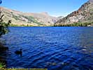
Yosemite just might be one of those places. (As is Yellowstone, Grand Canyon, Bryce Canyon, Arches...) Smack damn in the middle of the Sierra Nevada Mountains, in an area the size of Rhode Island, Yosemite showcases some of the most breathtaking views and diverse climates of the Sierra Nevadas.
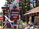
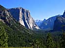
We entered the park through Tioga Pass, and headed to Yosemite Valley for lunch. Tioga Road usually opens sometime in may, and is only open about a half a year. As you pass through a series of tunnels, you finally get to Valley View, your real first view down the Yosemite Valley. Once you see half-dome, you know you're there.
Yosemite Valley
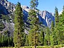
The valley itself has its share of attractions, though I think the valley itself is more scenic from above. Still, you get to see the rock formations you've seen in all those movies and travel channel programs. I do admit, the Merced river and the peaceful meadows in the valley make this place a marvel. But I wasn't there during the height of the tourist season, either.
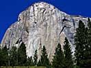
They turned off Yosemite Falls due to lack of water (the snowmelt was gone by the time we were there) but if there were falls, I could say it's the tallest waterfall in America. El Capitan is supposedly the largest single block of granite in the world, and stands 3593 feet from base to summit. Half dome, rises to 8842 feet, and is the youngest rock in the park. It's only 87 million years old. Bridalveil fall is 620 feet high, and was the only flowing fall in the valley. But more on that later.
We stopped at Yosemite Village for lunch (actually dinner) at the food court. The food wasn't bad, but then too, we were hungry. Picked up a coffee cup, a six pack of Yosemite Ale, and we were on our way...
Mariposa Grove of Giant Sequoias
It was still relatively early, so we decided to go to Mariposa Grove of Giant Sequoias. There are some 500 sequoias here, the oldest over 3000 years old. The tallest is almost 300 feet. They average about 15 feet in diameter, and weigh in at 2 million pounds. These are massive trees. I've seen tall trees down in the Congaree Swamp, and big trees up in Glacier National Park, but nothing quite as massive as these. They're simply the largest living things on Earth.
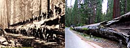
The reason these giants weren't ravaged by the early settlers of California, is that Sequoia really make for crappy building materials. A high amount of minerals makes the wood brittle, as can be witnessed by the fallen trees scattered though the grove. I'll bet these things made some noise when they fell, no one around, or not. I wonder if one of the seismic stations would pick up a tree falling...
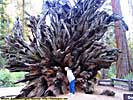
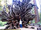
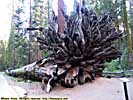
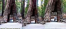
There's one of those trees you can walk through here, and all three pictures were blurry or out of focus, so instead of adding three bad pictures, I did a collage of all three so I only had to add one bad picture...
Well, the sun had already set over the mountains, we had no flashlights, the trail is at 6000 feet above sea level, and it goes up. Both ways. We called it a day, and headed for the hotel.
Yosemite National Park, Day 2 - September 17
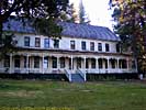
WawonaI tried to get a room at one of the hotels in Yosemite Valley, and the only one available was in the Ahwahnee. Now I know things here are a bit pricy here, but at the bargain price of $379 (plus a 9.7% tax), I decided staying in Yosemite Valley wasn't that important. (Well, okay, I spent $330/night at Disneyland, but it's a huge perk to have your hotel have a private entrance to California Adventure. But we did live more in that hotel than just an overnight stay.)
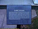
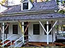
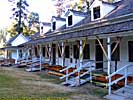
So I booked a room at the Wawona, a historic mountain resort within the park's boundaries. The particular building we stayed in (The Clark Cottage), was built in 1877. But you know, when you replace this and install plumbing, replace that and install electricity, replace the other thing and install heat, how much is really left from 125 years ago?
I had to pay an extra $55.25 for a room with a bathroom. There are just some things I have to have, I guess. But the next morning was in the low thirties and it was worth every cent. Heh.
We had gotten the Bed and Breakfast package at the hotel, which provided an okay buffet. The waitress lived in the area, and told us a place for food at the edge of the park, once she found out we were leaving via Tioga Road...
Glacier Point
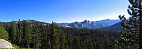
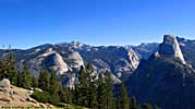
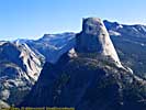
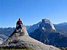
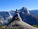
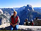
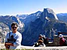
It's a 32 mile drive from Yosemite Valley to Glacier Point, but you end up at a place 3200 feet directly above the valley, with Half Dome on one end, and Yosemite Falls on the other.
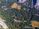
There are several pulloffs on Glacier Point Road, some of which provides amazing views of the valley. You hear a distant roar, and it sometimes takes a bit to realize you're seeing several waterfalls far off in the distance.
Glacier point itself, looks over the Yosemite Valley. It's sorta scary, when you look down over the edge, and see a sheer drop of 3000 feet. At least there are walls and guard rails... Heh.
Yosemite National Park, CA, Day 2 - Part 1





Yosemite National Park, Day 2 - Part 2
Bridalveil FallsBridalveil Falls may not look it, but it's 620 feet high. The winds cause the Bridalveil River to flow off the rock, causing an ever changing view of the falls.
We drove back into the valley to get a few more pictures, since the valley was already in shadow by the time we had eaten dinner. (And when we got into the valley the day before, food was a priority.)
On the way out of the park, we stopped in at a Mobil Station, not only to get gas, but to get dinner on our waitresses recommendation. The food at the Whoa Nellie Deli was excellent, and yet another example of why you don't judge a restaurant by the building it's in.
I would like to add that I got my first bottle of Arrogant Bastard Ale there, too. It's the best Mobil station I've ever been at.
Yosemite National Park, CA, Day 2 - Part 2









End 2001 West Vacation - Part 2.
| Jump to: | Part 1 | Part 2 | Part 3 |
|---|
- 09/04/2013 - Updated to v3.11
- 08/31/2014 - Update to v3.2
- September 2022 - Upgrade to v5.0.
| Help! | About This Site | Contact Me |


