
2008 West Vacation, Part 10
September 12 to 27
September 12 to 27
Day 14
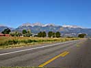
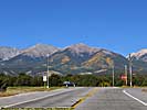
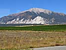
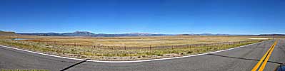
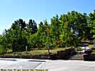
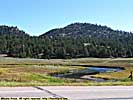
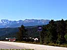
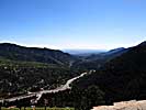
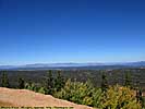
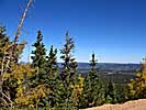
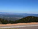
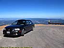
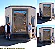
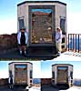
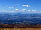
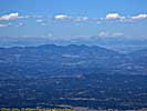
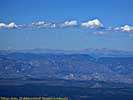
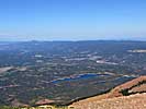
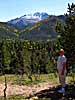
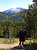
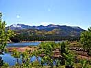
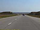
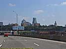
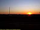
US-24, CO - September 25
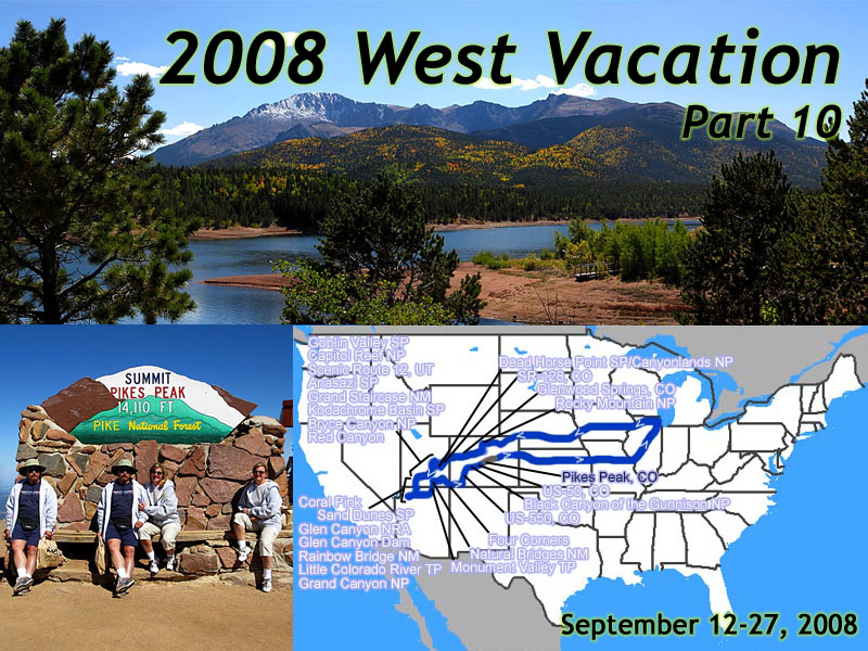 |
| My 2008 West Vacation. 16 days, 4596.3 miles. Days 14-16, Salida, CO to Home. |
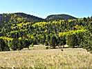
Left Comfort Inn and took CO-291 Northwest to US-285. North on US-285, where we pass a few 14'ers off to the left, where many of the Aspens are turning yellow. Very pretty.
Take US-24 east toward Colorado Springs. Pass a bunch of Pronghorn Sheep. There's one group of three, where two are fighting, and one looks disinterested. We decide it's two males fighting over a female... Some herds of Pronghorn we pass later in the day total more than 20...
We also pass some bicyclists. US-24 here isn't exactly flat, and has no shoulder. Semi-trucks and large RV's (and us) pass these idiots by at 65 mph. I don't know who picked this road, but they could have picked a better one... We later find out they're a college group that's biking to Aspen. I'll give most them a 5 in 10 chance...
After we pass Florissant, I've been on this road before, but that was 11 years ago. I don't remember a lot about this road from my 1997 trip, but it's probably changed so much that it doesn't matter.
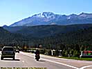
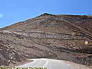
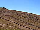
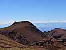
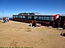
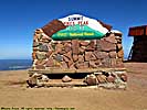
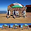
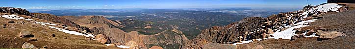
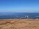
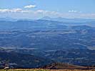
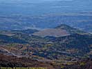
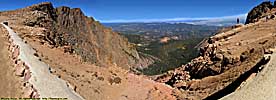
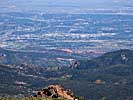
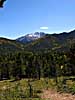
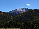
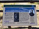
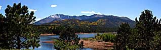
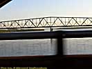
Pikes Peak, CO - September 25
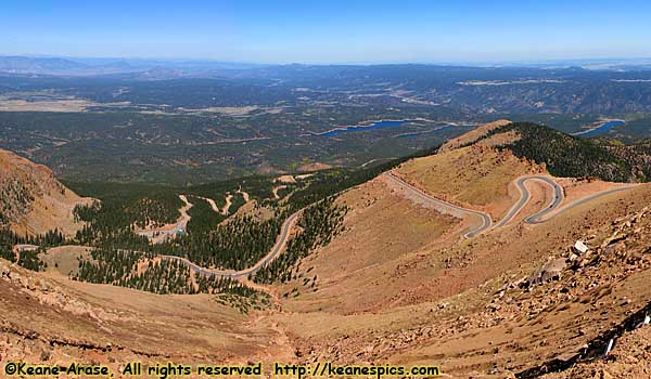 |
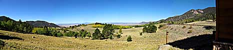
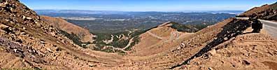
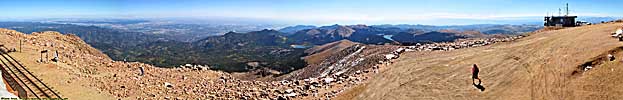
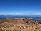
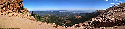
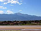
| Look at all the switchbacks... Pikes Peak, CO |
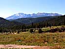
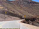
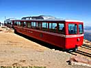
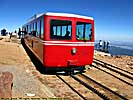
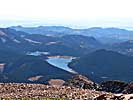
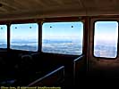
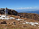
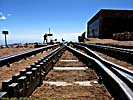
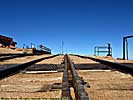
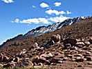
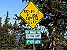
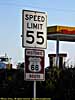
We get to Pikes Peak Highway, and after a little detour of about 2 miles (I missed the turn), we take the road up. $10 a person, so it costs us $20. It's a 20 mile road that climbs about 6000 feet to the summit. Three quarters of the way up, it's plenty scary. At the top, I'm actually a little dizzy from the altitude, and it's tough not to hyperventilate. Some of the edges of the summit are pretty scary. The cog train is there.
It's an achievement to make it up to the summit, and we get a couple of souvenirs, like a can of oxygen. The cog train leaves, and 90% of the crowd disappears. After a few pictures and a few yards of video, we start back down.
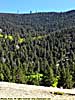
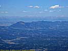
Pikes Peak, CO, Ascent and Summit

Pikes Peak, CO, Part 2, Descent
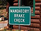
At mile 10, there's a mandatory brake check, where a Pikes Peak Ranger checks the temperature of your brakes with an infrared thermometer. We talk a while about the idiot yesterday at Black Canyon, and find out the grades there are more severe than they are here.Never did see Big Foot...
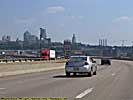
We then continue East on 24 through Colorado Springs, and after leaving the city, it becomes one of those flat Colorado plains roads. East to I-70, where we got gas and a burger, and down I-70 at supra-legal speeds for a couple of hours and make it to Wa Keeney. We're on our way home. Bummer.
Stop and check in at the Best Western. Nice room, fridge and Microwave and coffee maker, 8 of 10. Shower flow is low, but plenty of hot water, 8 of 10.
End of day 14 miles: 3731. Hotel: Best Western, Wakeena, Kansas.
Day 15
We left Wa Keeney, doing a speed run down I-70. Stopped in Kansas City for lunch, at Arthur Bryants. It's supposed to be the best BBQ in town, maybe the country. I'd rate it a 7, hardly the best, and quite frankly maybe not even in my top 10, so I was a bit disappointed.We have a choice of taking I-35 North to I-80, or continue down I-70 to I-55. Remembering the construction on I-80, we motor down I-70 to Saint Louis, I-270 to I-55. I-55 to Carlinville. We weren't planning on staying in Carlinville, but a traffic backup of miles makes us change our mind. We knew we weren't going to get home tonight, but we could have at least gotten to Springfield...
The Carlinville Best Western is a nice place. We eat dinner at the hotel. 9/10.
End of day 15 miles: 4343.6. Hotel: Best Western, Carlinville, Illinois.
Day 16
250 miles to Chicago. Piece 'o cake.
Day 16. End of day 16 miles: 4596.3 miles. Home.
End of trip.Final Thoughts
My 2008 Southwest trip wasn't supposed to be 1997 re-done, and I don't think it was. Of the 14 major stops in 1997 and the 20 in 2008, we only overlapped about 5 or 6 stops, even though the routes were almost identical. There was even an attempt to vary the route, but in the end, the lack of decent roads through the Grand Staircase prevented a lot of that.Of course, my 2008 trip was done with a decade more of road trip experience. Other things have changed as well, such as a better car, better roads, more hotel facilities and restaurants, cell phone service, and a better understanding of how to plan a trip. Did I mention the Internet?
How much things have changed in 11 years. In 1997, the only thing digital I had with me, was my watch.
Meaningless statistics:
Days: 16
Total miles (trip odo): 4596.3.
Miles/Day: 287.
Gas (gallons): 177.62.
Cost (gas): $720.78. ($762.76 if you include the oil change.)
Miles/Gallon 25.89.
Average cost per gallon: $4.06.
Cost (lodging): $1736.55.
Total cost of vacation (includes gas, hotel, food, and park and tour fees;
but not souvenirs, or the odd snacks like fry bread...): $3486.
End 2008 Southwest Vacation - Part 10 of 10.
| Jump to: | Part 1 | Part 2 | Part 3 | Part 4 | Part 5 | Part 6 | Part 7 | Part 8 | Part 9 | Part 10 |
|---|
- 02/25/2009 - Initial Deployment
- 08/15/2013 - Update to v3.11
- 08/31/2014 - Update to v3.2
- September 2022 - Upgrade to v5.0.
| Help! | About This Site | Contact Me |