
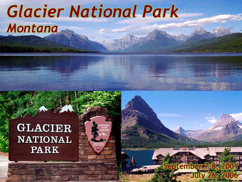
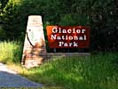
Glacier National Park
Note: Yes, I know about Waterton-Glacier International Peace Park World Heritage Site (there's a mouthful), but I was never even close to Waterton, so this page is about Glacier National Park...Introduction
|
| Click to go directly to the slideshow |
Glacier essentially started as a railroad park, one of those places that the early rail companies promoted to get tourists into their trains and resorts. The Great Northern Railway had finished their line through Marias Pass by the late 1890's, and promoted the area for it's scenery. It was a highly successful campaign. Eventually, both the local people and the rail companies lobbied congress to protect the area.
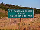
This resulted in Glacier National Park being established as the 10th National Park in 1910. It's mostly credited to a guy named George Bird Grinnell, who was an early proponent to getting this area proclaimed as a National Park. It's Northern border is Canada, and it's Southern border is essentially the railroad tracks.
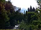
I've been there twice. The first was in 2001, three days before 9/11, so I was still having fun. It was the obvious next step in visiting the Northwest Parks after Yellowstone. Of course, it snowed in the mountains, closing the Going To The Sun road before Logan Pass on the first day. It was open the next day, with barely any evidence of snow...
The second was in 2006, when I was on my Lewis and Clark trip. All I had to do was get from Great Falls to Missoula, Montana, about 200 miles. Instead, I took a 150 mile detour North just to drive through Glacier, and recapture the park in digital. (As someone once said, what's a hundred miles in Montana?) I mean, it was a beautiful day, far nicer than when I was there in 2001...
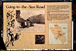
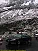
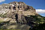
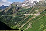
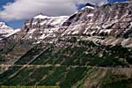
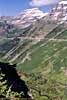
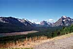
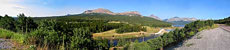
The Going To The Sun Road
|
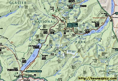
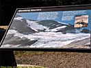
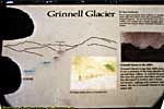
| Cropped map showing The Going To The Sun Road. Click for a full map of Glacier. |
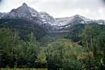
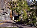
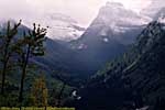
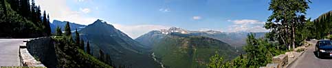
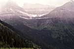
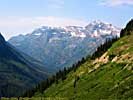
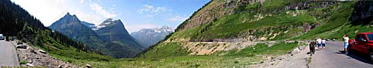
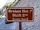
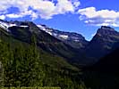
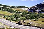
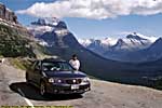
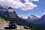
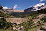
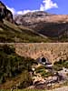
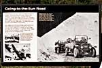
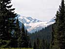
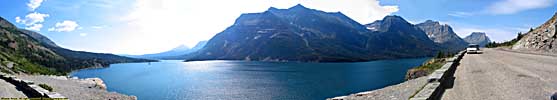
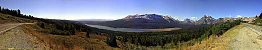
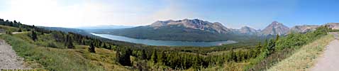
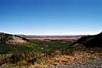
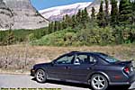
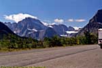
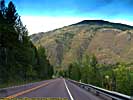
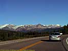
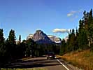
Glacier's road, and the centerpiece of the park, is the Going To The Sun Road. It's a 50 mile, paved, two-lane, narrow, steep and winding road that took 11 years to build, finally completed in 1932. It was put on the National Register of Historic Places in 1983 and was made a National Historic Landmark in 1996.
It's in my top 10 roads to drive, since every mile provides another postcard view. It's a spectacular 50 miles, about half of which is etched into the side of the mountains. (The road is 32 miles from West Glacier to Logan Pass, and 18 miles from Logan Pass to Saint Mary.)
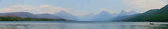
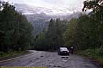
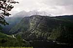
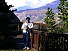
Going to the Sun Road, West Entrance to Lake McDonald
Going to the Sun Road
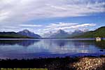
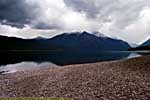
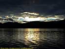
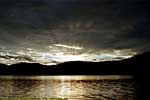
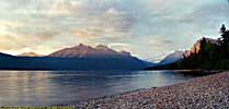
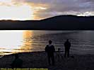
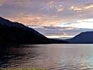
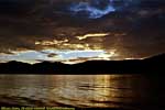
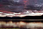
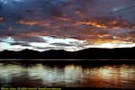
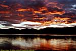
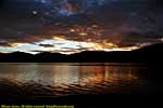
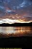
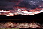
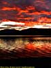
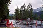
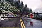
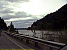
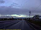
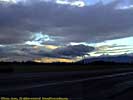
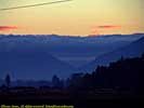
Day 1 of my first trip was somewhat blunted due to the snow closing the road to
Logan Pass. Not to be denied of our tourist needs, we hunted out a place for the
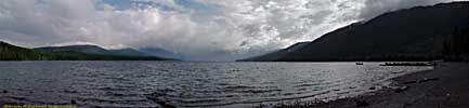
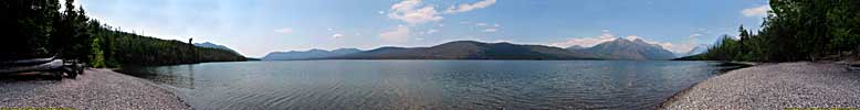
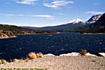
sunset, and found one on the Southern shore of Lake McDonald. It wasn't one of
those, OH MY GOD sunsets, but it was pretty good, due to the clouds that caused
the road closure, lol...
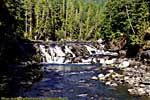
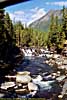
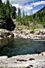
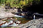
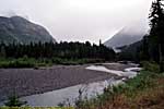
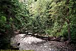
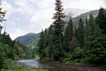
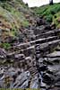
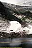
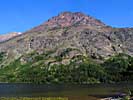
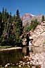
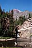
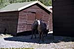
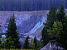
McDonald Creek
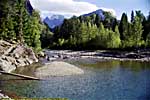
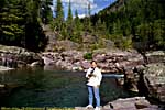
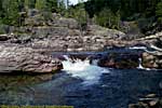
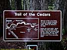
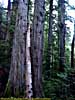
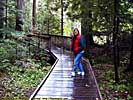
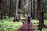
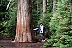
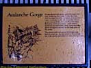
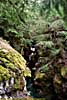
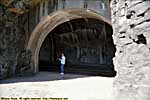
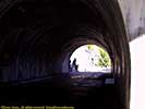
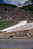
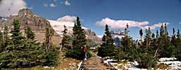
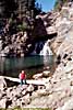
Trail of the Cedars / Avalanche Creek
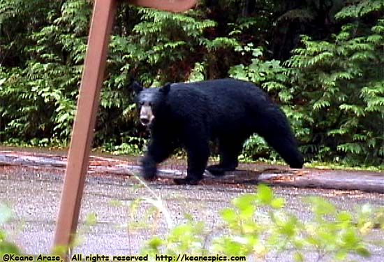
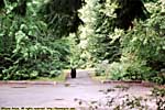
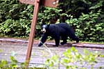
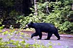
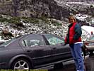
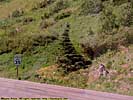
|
| It was going toward the campground. This is why you don't keep food in your tent. |
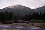
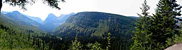
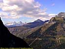
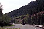
Going to the Sun Road, Avalanche Creek to The Loop
Going to the Sun Road
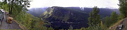
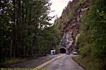
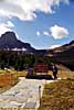
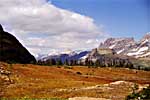
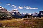
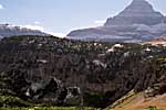
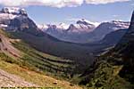
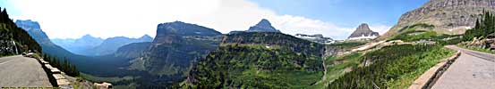
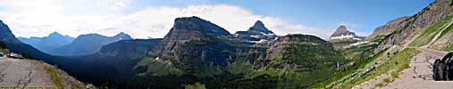
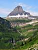
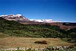
Going to the Sun Road, The Loop to Logan Pass
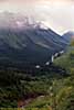
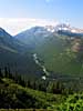
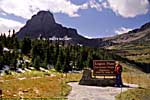
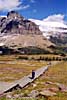
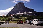
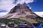
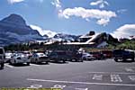
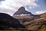
Going to the Sun Road, Logan Pass
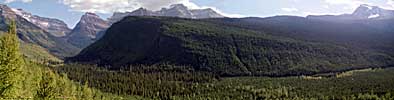
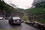
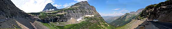
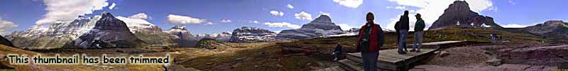
Considering the continental divide runs through Logan Pass, the 6646 foot elevation isn't that bad. (I know the sign says 6680 feet, but the park map says 6646.)In addition to being a Visitor's Center, it is also the trailhead for the popular Hidden Lake trail, so parking is non-existant most of the time. If you want to hike the trail, you might be better off parking the car and taking the bus to Logan Pass.
But it sucks if you're driving through the park. There are some spectacular views from the Pass.
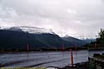
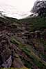
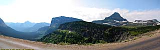
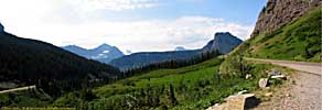
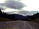
Going to the Sun Road, Logan Pass to East Entrance
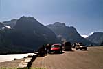
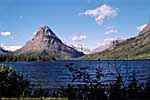
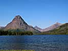
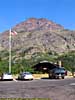
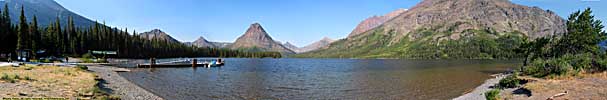
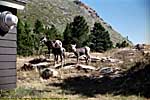
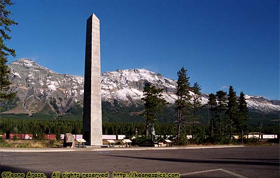
Two Medicine
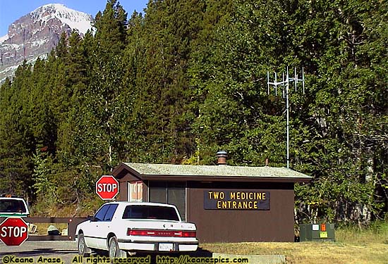
|
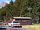
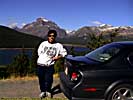
| Two Medicine Entrance |
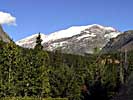
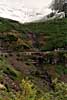
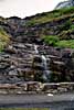
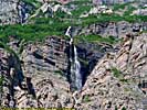
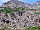
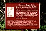
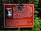
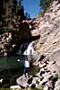
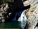
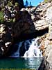
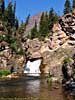
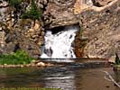
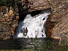
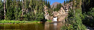
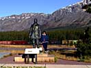
Running Eagle Falls is named after... Running Eagle, a Blackfeet woman warrior who took her vision quests here. Probably fewer tourists back then.
It's also known as "Trick Falls". Both times when I was here, the water just flowed out of the rock. During the spring melt, the water comes over the top, obscuring the lower fall. At certain times of the year, both falls are visible.
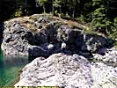
Two Medicine - Running Eagle Falls
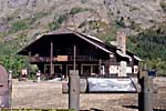
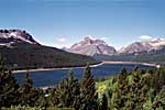
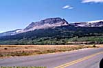
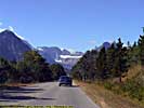
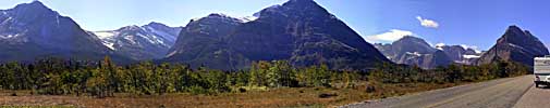
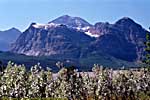
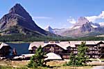
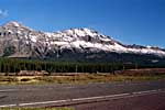
Many Glacier
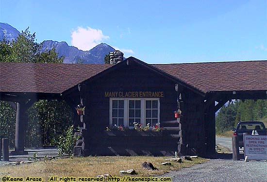
|
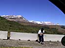
| Many Glacier Entrance |
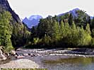
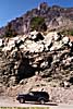
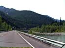
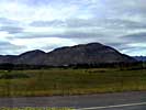
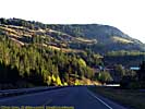
US-2, Southern Boundary
|
| Marais Pass on US-2 |
Related Links
| US-89 | |
|---|---|
|
US-89 is a remarkable road that follows some of the most scenic areas of the West from Canada to Arizona, and along the way passes through (or comes within a few miles of) over a half dozen major Western Parks. Glacier to Yellowstone to Grand Teton, Bryce, Zion, Glen Canyon and Grand Canyon. I've actually frequented this road quite a bit, but in a disjointed, non-continuous fashion. |
| Visited Various | |
End Glacier National Park.
Glacier Trip Reports: Sep 2001, Jul 2006.
| Jump to: | State Index | Montana State Page | National Parks |
|---|
- 04/30/2016 - Initial deployment
- April 2017 - Upgrade to v3.4.
- August 2022 - Upgrade to v5.0.
| Help! | About This Site | Contact Me |