
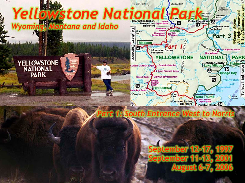
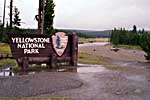
Yellowstone National Park, Part 1
Yellowstone has been split into three pages, separated by Grand Loop Road segments. See below.
Introduction
|
| Yellowstone Part 1. South Entrance to Old Faithful to Norris. Click to go directly to the slideshow. |
Yellowstone. My favorite National Park. I've described it as three or four other parks all squished into one...
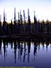
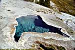
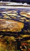
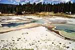
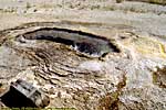
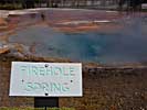
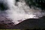
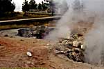
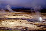
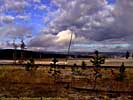
It has a myriad of geologic features from tall mountain ranges to deep river canyons to wide glacial valleys to immense open prairies. There are geothermal features only found in select areas on Earth, all thanks to the super-volcano that the parks sits on.
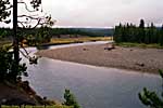
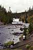
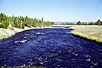
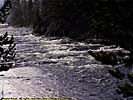
There are hundreds of waterfalls and cascades. A couple of the grandest waterfalls on the continent are on the Yellowstone River, which sources in the park and takes a wild ride through its first 20 or 30 miles, before becoming a major tributary to the Missouri and finally the Mississippi Rivers. The 45th Parallel runs through the Northern part of the park, and the Continental Divide runs through the Southern part...
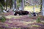
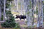
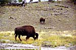
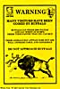
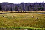
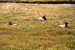
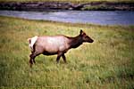
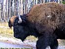
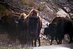
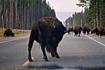
It's wildlife is the most accessible and diverse, from Bear sightings (and you best hope that those sightings aren't close up), to Bison who have no problem giving you the stink eye as they stand in front of your car like a crossing guard as a herd crosses in front of you. Elk are common in the park, with the best experience in Mammoth Hot Springs in the Fall, when large herds come down during the evenings and almost co-habitate with humans (or at least tolerates their presence) so they can eat the mowed grass. The occasional moose can be found on the lowlands along the rivers. You can even see the cutthroat trout lazily taunting all the anglers on the (no) Fishing Bridge.
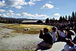
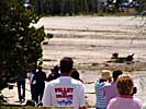
The bad news is, the park is a victim of its own success. The number of people in the park during the tourist season is almost out-of-control. Yellowstone is a huge park, so if you want to find solitude from the crowds, you can. But popular sites like Old Faithful and the other geothermal areas, and around the falls on the Yellowstone River can get very crowded. Spurious wildlife sightings can cause dangerous driver reactions or traffic jams.
The good news is, the crowds aren't quite as bad during the off season. The best time to visit might be after Labor Day and before "mid-October", when the park service starts shutting down roads for the winter. I've never been caught in the park when it snowed, but I'm not sure I'd want to drive the Grand Loop Road when it's slippery.
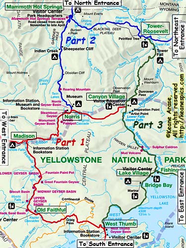
The park is large enough that I had to split it into three parts. Each part contains several contiguous Grand Loop road segments, along with the entrance roads.
The Grand Loop
The Grand Loop Road is 142 miles of sometimes good, sometimes narrow, sometimes pretty crappy, and sometimes downright scary road. It's actually in a figure "8", but the Norris to Canyon Village segment is more of a connector than part of the Loop and can cut over 50 miles off your day's trip. It also does come close to defining the Northern edge of the volcano's latest caldera.
All roads within the park are two-lane roads, with speed limits of 45mph or less. The road changes character many times as you travel it, and will look very different driving it in different directions. (Highly recommended, btw...)
|
| Cropped map of the Grand Loop to show road segments. Click on the map for a larger, unadulterated map. |
Because the park is so large and there are few main roads, all road junctions are named, usually for a feature located close by. I'm going to utilize these natural segment breaks to organize the pictures. The exception is Old Faithful, which isn't a junction, but it is Old Faithful...
The "Road Segments" here are identical to the segments in the index.
Part 1:
South Entrance to West Thumb
West Thumb to Old Faithful
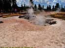
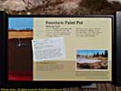
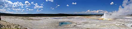
Old Faithful to Madison
Madison to the West Entrance
Madison to Norris (No images)
Norris to Canyon Village
Part 2:
Norris to Mammoth Hot Springs
Mammoth Hot Springs to the North Entrance
Mammoth Hot Springs to Tower-Roosevelt
Tower-Roosevelt to the Northeast Entrance
Part 3:
Tower-Roosevelt to Canyon Village
Canyon Village to Lake Village
Lake Village to West Thumb
Part 1 starts with the South Entrance Road, then takes the Grand Loop Road West to Old Faithful and then to Norris. I'm starting at the South Entrance because I've entered the park through the South Entrance all three times I've been to Yellowstone, so it seemed as good an arbitrary start point as anywhere else...
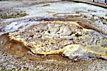
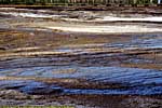
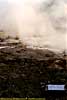
Part 1 is also mostly geothermal features, as it travels through the caldera.
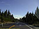
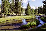
South Entrance to West Thumb
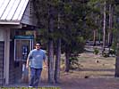
Unlike all the other entrance roads, there isn't a city just outside the park.Instead, there's a 7.5 mile road named, "The John D. Rockefeller Jr. Memorial Parkway", which connects Yellowstone to Grand Teton. (Yeah, the guy deserves it. He's the one who organized and helped to purchased most of the land that's now Grand Teton National Park.) The closest city from the South Entrance is actually Jackson, Wyoming, about 60 miles to the South, though you can get supplies from stores within Grand Teton.
A few words about Grand Teton National Park.
The first two times I went through the park, the Tetons were nothing more than the South Entrance to Yellowstone.
The third time, I spent a few days in the park. While Yellowstone will always be the main draw to this area, I'd recommend taking a couple of days to check out the Tetons...
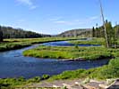
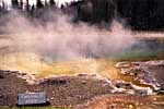
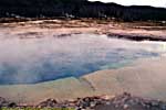
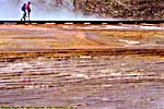
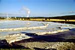
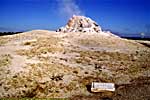
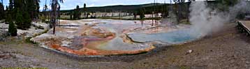
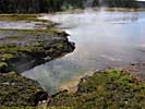
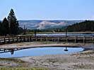
West Thumb to Old Faithful
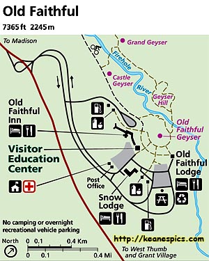
|
| This map was downloaded from the NPS site. |
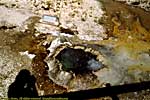
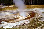
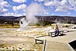
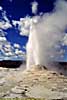
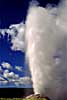
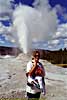
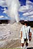
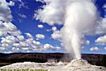
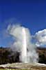
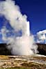
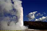
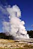
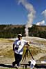
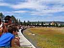
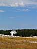
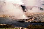
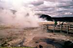
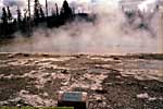
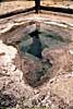
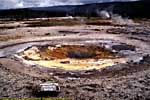
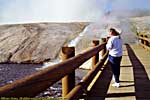
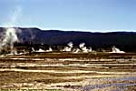
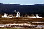
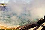
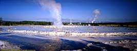
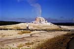
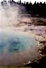
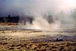
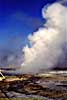
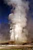
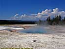
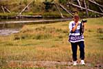
Old Faithful Geyser
Old Faithful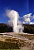
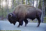
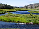
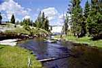
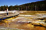
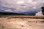
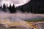
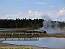
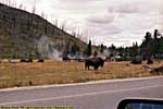
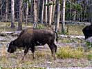
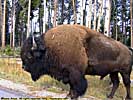
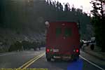
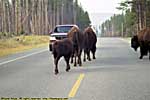
Old Faithful to Madison
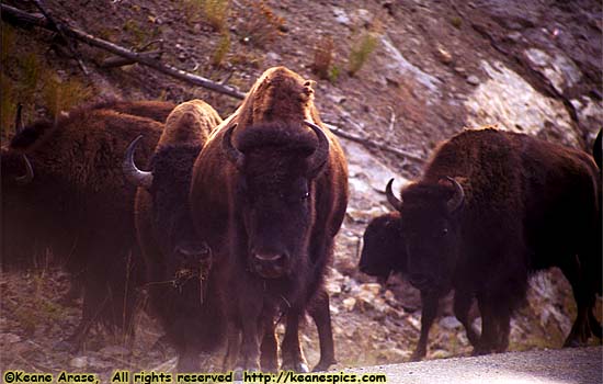
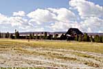
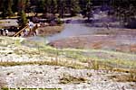
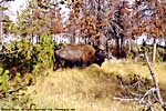
|
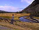
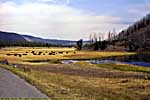
| The bison have right-of-way... |
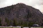
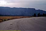
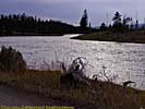
US-89 / National Park Mountain
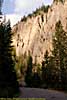
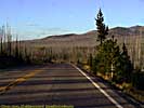
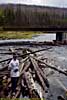
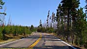
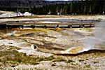
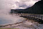
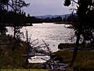
Madison to West Entrance
Madison to West Entrance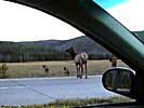
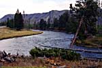
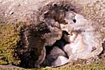
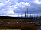
Madison to Norris
I have no images of the area between Madison and Norris Junctions. The explanation for this, is while I was down this segment in 1998, I was still shooting film, so I only shot frames if something was overwhelmingly interesting.In 2001, this road segment was closed for construction, much to my surprise, and had I known when planning the trip, wouldn't have booked a room in West Yellowstone. However, the day I arrived in Yellowstone that year was September 11, so the trip was destined to not-be-fun from that day forward, anyway.
We didn't even drive this segment in 2008, since that trip was more dedicated to Grand Teton, and we only drove through Yellowstone to get to the Chief Joseph Highway.
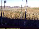
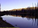
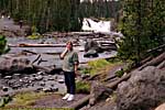
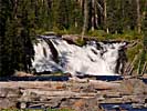
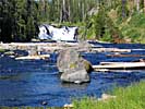
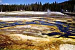
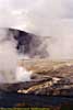
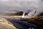
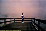
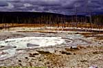
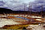
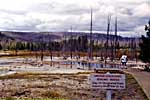
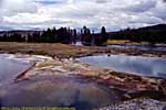
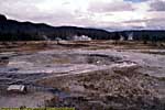
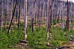
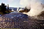
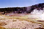
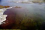
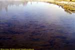
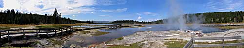
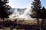
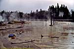
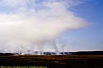
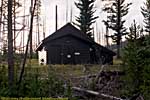
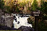
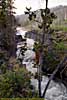
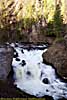
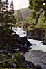
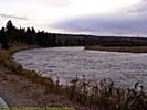
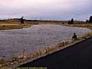
Norris to Canyon
Norris to Canyon
End Yellowstone National Park - Part 1 of 3.
| Jump to: | Part 2 | Part 3 |
|---|
| Return to: | State Index | Wyoming State Page | Montana State Page | Idaho State Page | National Parks |
|---|
- 04/30/2016 - Initial deployment
- April 2017 - Upgrade to v3.4.
- August 2022 - Upgrade to v5.0. Complete edit and rewrite
| Help! | About This Site | Contact Me |