
Utah State Route 128
| Introduction | US-6 / Cisco, UT | Utah State Route 128 | Related Links |
|
| Click to go directly to the slideshow |
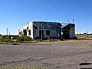
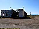
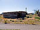
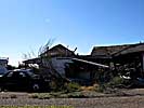
Business US-6 / Cisco, UT
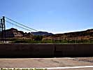
Business US-6 exists from its exit at I-70 to where Utah-128 turns, probably because there exists a town named "Cisco", an old uranium mining town. It certainly looks like a ghost town from the road, but people probably still live there, and it's on all the maps. There is supposed to be an access road behind the town to the Colorado River, but those are only lines on a map, so I have no idea of the road conditions.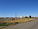
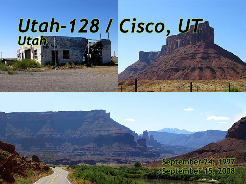
Utah-128
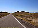
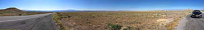
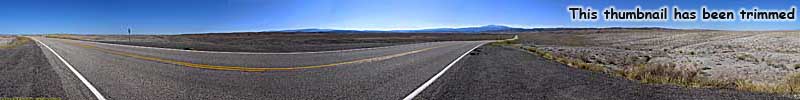
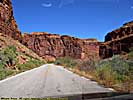
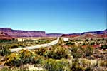
From I-70, Utah-128 is pretty much a flat, arid desert (which in Utah, is like saying water is wet) until you reach and cross the Colorado at Dewey Bridge.Dewey Bridge was an important crossing of the Colorado at one time, since the river's flow was so unpredictable. Auto and truck traffic is handled by a new, modern bridge, but the old one was rebuilt and is open to foot traffic only. (The last time I was there, it had burned down. I'm sure they've rebuilt it.)
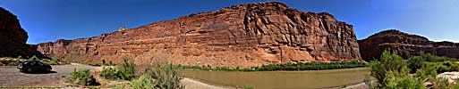
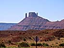
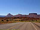
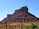
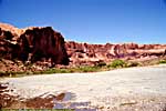
Once you're at the river, you enter the wonders of what an angry Colorado was capable of millions of years ago, carving down through the red rock sandstone to its current bed, creating canyons, pinnacles, sheer rock walls, arches and some of those instantly recognizable, iconic Western landscapes.
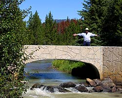
The images below start near the I-70 exit and head down-river toward Moab.
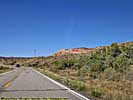
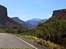
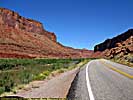
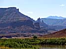
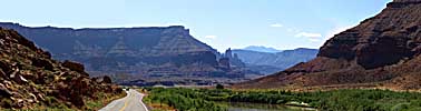
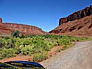
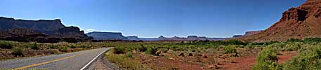
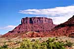
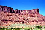
Utah-128 is one of those roads that should be driven in both directions at different times of the day, since the landscapes take on different looks depending on the viewpoint and sun angles. It's a very highly recommended alternative to US-191 to get from Moab to I-70...
Related Links
| Colorado River | |
|---|---|
|
The Colorado River starts as a small stream in Rocky Mountain National Park, and gathers hundreds of other streams and rivers along the way to become the lifeline of the Southwest, providing water, electricity and recreation to millions in the five states the river flows through or touches. I've actually followed the river in one form or another, from Rocky Mountain National Park to Grand Canyon. I've also done more river miles on the Colorado than any other river... |
| Colorado, Utah and Arizona / 55 Images. Visited Sep 2005, Sep 2008. | |
Utah 128 Trip Report: Sep 1997, Sep 2008.
| Return to: | State Index | Utah State Page | Moab, Utah | Roads |
|---|
- 04/30/2016 - Initial deployment
- April 2017 - Upgrade to v3.4.
- September 2022 - Upgrade to v5.0.
| Help! | About This Site | Contact Me |