Rivers and National Recreation Areas
| Rivers | ||
|---|---|---|
| Buffalo National River (AR-7) | Colorado River (CO/UT/AZ) | Columbia River (WA/OR) |
| National Recreation Areas | ||
| Bighorn Canyon NRA | Curecanti NRA | Glen Canyon NRA (AZ, UT) |
| Glen Canyon Dam | Lake Powell (AZ, UT) | (NRA:National Recreation Area) |
|
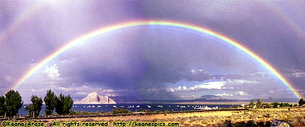
| Sometimes, you just have to be in the right place at the
right time. Glen Canyon National Recreation Area. |
I admit, some of the topics on this page are arbitrary. For instance, I've only been to a couple of places in Buffalo National River, both along Arkansas-7, but they're part of a National River, so they were placed here.
On the other hand, I have a lot of images of the Missouri, but almost all of them are associated with Lewis and Clark, so they're listed under various Historic Sites.
The Colorado River page is the only river page to organize itself from its source, then downstream all the way to Grand Canyon, mostly because I have a lot of images of the river itself. Glen Canyon is split off to its own page, as is the reservoir and dam.
It's only coincidental that I have images of Curecanti NRA. I was driving US-50 from US-550, and the road crosses the Gunnison River in the park. (A dam on the Gunnison River creates the Blue Mesa reservoir, which in turn creates the Curecanti.) The half-dozen images are on the US-50 page.
Rivers
| Buffalo National River | |
|---|---|
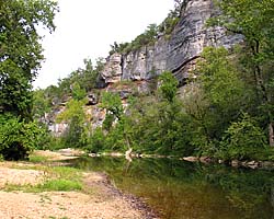 |
Buffalo National River is located in Northwest Arkansas, and protects about 140 river miles (55 linear miles) of the Buffalo River as it flows through the Ozarks. I'm not quite sure why the Buffalo gets National River status, but a National River it is. They've been developing more sites along the river since I first visited in 1992, and it is a scenic place. I've only been to two sites, both along AR-7, Ozark and Pruitt Landing. |
| Northwest Arkansas / 31 Images. Visited Jun 1998, Sep 2002, Sep 2005. | |
| Colorado River | |
|---|---|
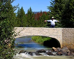 |
The Colorado River starts as a small stream in Rocky Mountain National Park, and gathers hundreds of other streams and rivers along the way to become the lifeline of the Southwest, providing water, electricity and recreation to millions in the five states the river flows through or touches. I've actually followed the river in one form or another, from Rocky Mountain National Park to Grand Canyon. I've also done more river miles on the Colorado than any other river... |
| Colorado, Utah and Arizona / 55 Images. Visited Sep 2005, Sep 2008. | |
| Columbia River | |
|---|---|
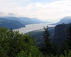 |
In 2006, I was doing a Lewis and Clark thing, and you can't do Lewis and Clark without seeing the Columbia River Gorge. It's an impressive river, the only river route through the Cascades. I encountered the river twice, once in Washington where I-90 crosses the Columbia, and the other was following the Columbia River Gorge from Portland to I-82 where I-84 turns to the Southwest as the river turns to the North. |
| Oregon, Washington / 50 Images. Visited Jul 2006. | |
National Recreation Areas
| Bighorn Canyon National Recreation Area | |
|---|---|
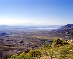 |
Bighorn Canyon NRA spans both Wyoming and Montana, but I've unfortunately only seen the park as a throughway from Yellowstone to I-90. Thus, I only have pictures through the NRA (and the Bighorn National Forest) along US-14A. (I was told at one time US-14A was the more scenic route.) |
| Wyoming, Montana / 39 Images. Visited Sep 1998, Jul 2006. | |
| Curecanti National Recreation Area | |
|---|---|
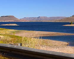 |
I only passed through Curecanti NRA as a consequence of driving US-50 through Colorado. Since there are only seven images, they're on the US-50 (Colorado) page. |
| Near Gunnison, Colorado / 7 Images. Visited Sep 2008. | |
| Glen Canyon National Recreation Area | |
|---|---|
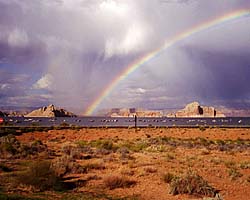 |
The Glen Canyon National Recreation Area encompasses and products the Colorado River (and many of its tributaries) from Canyonlands to Grand Canyon National Park. It is mostly a creation of the Glen Canyon Dam, which creates a reservoir behind it (Lake Powell) a hundred miles long. Included on this page is the Navajo Bridge at Marble Canyon and the Lees Ferry Unit of the park, river level access a dozen miles below the dam. |
| Arizona, Utah / 102 Images. Visited Sep 1997, Sep 2008. | |
| Glen Canyon Dam, Glen Canyon NRA | |
|---|---|
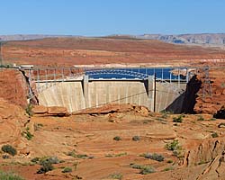 |
Glen Canyon Dam is a 600 foot high thumbnail that holds back the Colorado River creating the massive reservoir named Lake Powell. I took the Dam tour, and it was a pretty dam good... uh... It was an impressive tour which takes you all the way down to the generator room via two sets of elevators. No stairs, but there is some walking involved. |
| Near Page, Arizona / 56 Images. Visited Sep 2008. | |
| Lake Powell, Glen Canyon NRA | |
|---|---|
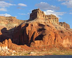 |
Lake Powell is created from the Colorado River (and its tributaries) by the Glen Canyon Dam. It's approximately 140 river miles (100 linear miles) long, and provides water, power and entertainment to millions in the Southwest. Using it as a water route is also the only convenient way to get to Rainbow Bridge National Monument. These images are of the 50 river miles from Wahweep to Rainbow Bridge National Monument. |
| Arizona, Utah / 48 Images. Visited Sep 2008. | |
- 04/30/2016 - Initial deployment
- April 2017 - Upgrade to v3.4.
- September 2022 - Upgrade to v5.0.
| Help! | About This Site | Contact Me |
