
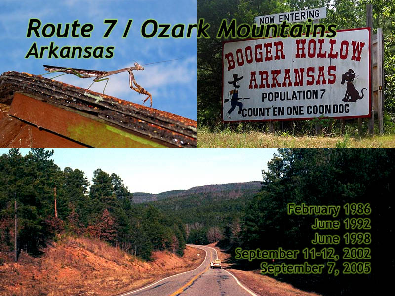
Arkansas Scenic Route 7
| Introduction | Western Ozarks | Scenic Route 7 | Table Rock Dam | Bull Shoals | Related Links |
|
| Click to go directly to the slideshow |
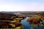
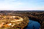
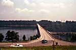
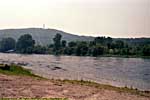
AR-7 starts in Northern Arkansas, right by Bull Shoals Lake. From there, it travels South all the way to the Louisiana border, where it becomes State Route 558, a short 5 mile spur before ending at LA-15. I've driven all of it, though I usually get off I-44 at Springfield, Missouri, and head South on US-65 to Route 7. It's a fun road.
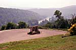
It travels through the Ozark Mountains, runs through Dogpatch USA and Hot Springs, if that fits your stereo-typical perspective better. When I first drove it, it was a two-lane country road through some fantastic scenery. However, the last time I drove it, they were widening and straightening portions of the road (forced upgrades to the current code when rebuilding a road), so it might be less fun now.
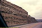
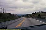
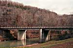
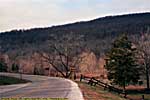
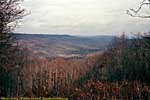
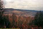
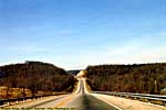
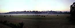
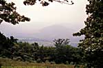
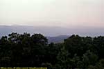
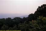
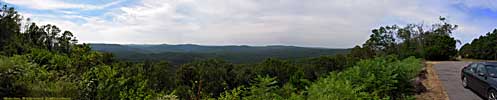
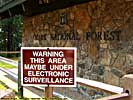
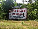
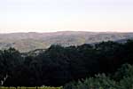
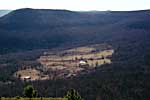
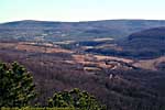
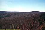
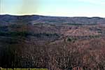
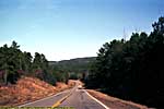
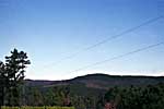

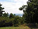
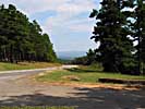
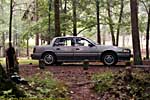
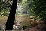
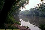
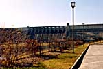
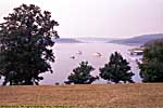
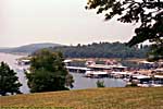
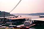
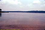
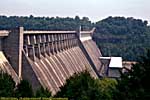
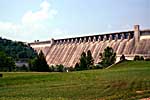
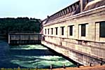
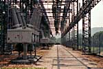
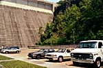
Table Rock and Bull Shoals aren't exactly off of Route 7, but are in the general area...
Related Links
| Buffalo National River | |
|---|---|
|
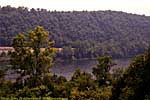
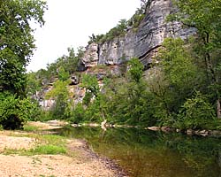
Buffalo National River is located in Northwest Arkansas, and protects about 140 river miles (55 linear miles) of the Buffalo River as it flows through the Ozarks. I'm not quite sure why the Buffalo gets National River status, but a National River it is. They've been developing more sites along the river since I first visited in 1992, and it is a scenic place. I've only been to two sites, both along AR-7, Ozark and Pruitt Landing. |
| Northwest Arkansas / 31 Images. Visited Jun 1998, Sep 2002, Sep 2005. | |
| Hot Springs National Park | |
|---|---|
|
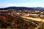
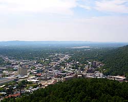
Hot Springs National Park was the 18th National Park designated in 1921, during a health craze in the US. It was actually declared a reservation in 1832, making it the oldest park in what would become the National Park System. It's a huge fresh water aquifer that spits out 850,000 gallons of water per day. It's I swear I had pictures of the bath houses somewhere, but I'm not sure where they are... |
| Hot Springs, Arkansas / 16 Images. Visited Jun 1998, Sep 2002. | |
Scenic Route 7 Trip Reports: Feb 1986, Jun 1992, Jun 1998, Sep 2002, Sep 2005.
| Return to: | State Index | Arkansas State Page | Roads and Interstates |
|---|
- 04/30/2016 - Initial deployment
- April 2017 - Upgrade to v3.4.
- August 2022 - Upgrade to v5.0.
| Help! | About This Site | Contact Me |