
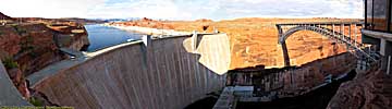
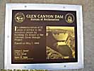
Glen Canyon Dam
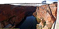
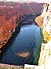
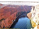
| Introduction | Up-River image | Visitors Center | Images from Glen Canyon Bridge |
| Dam Tour | Down-River images | Related Links |
|
| Click to go directly to the slideshow |
I admit, I've never been to Boulder Dam (you know, the one they built to hide Megatron), so I can't compare the two, but the MiB could have a transformer inside this structure too, no problem.
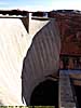
All kidding aside, this is truly amazing engineering achievement. I'm not quite sure I've stood on a man-made structure this massive before or since. Sure, I've been on the observation deck of the Sears... Willis Tower in Chicago, but it's a building, and it's hollow inside.
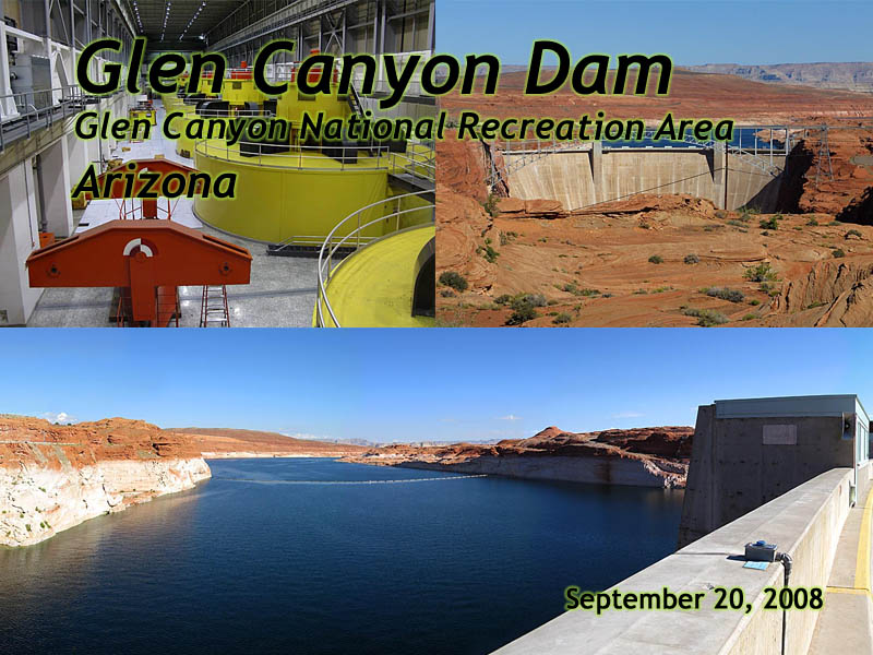
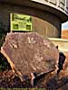
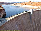
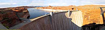
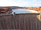
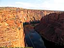
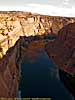
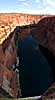
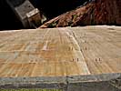
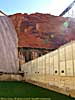
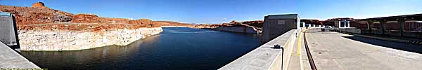
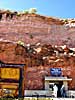
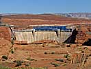
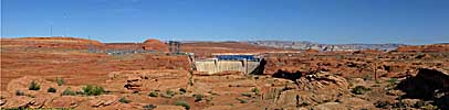
350 feet thick at its base and 25 at the top, its described as a "thumbnail" holding back the enormous pressure of the massive Lake Powell. That might be true, but it's a really big-ass thumbnail when you're standing on top of it...
|
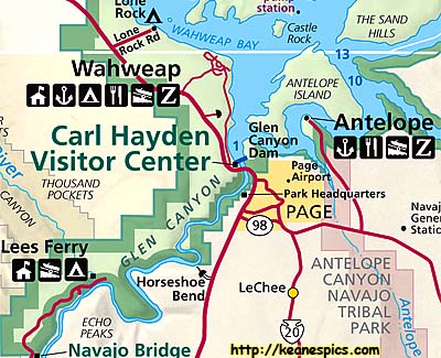
| Cropped map of Glen Canyon NRA. Click for the full map. This map was downloaded from the NPS map site. |
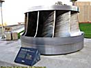
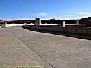
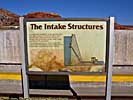
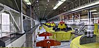
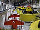
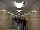
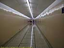
That changed in 2008, where not only did we visit the dam, but signed up for a tour early the next day. (The current day was completely booked.) If you ever get the chance, try to get on one of the tours. When I took the tour, they only allowed 20 guests at a time, and only had some 8 to 10 tours per day. So do sign up early. The tour was about an hour long, and yes, you take an elevator down to the powerhouse level of the dam.
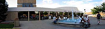
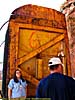
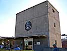
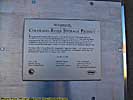
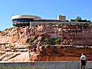
Glen Canyon Dam, Visitor's Center


Related Links
| Colorado River | |
|---|---|
|
The Colorado River starts as a small stream in Rocky Mountain National Park, and gathers hundreds of other streams and rivers along the way to become the lifeline of the Southwest, providing water, electricity and recreation to millions in the five states the river flows through or touches. I've actually followed the river in one form or another, from Rocky Mountain National Park to Grand Canyon. I've also done more river miles on the Colorado than any other river... |
| Colorado, Utah and Arizona / 55 Images. Visited Sep 2005, Sep 2008. | |
| Glen Canyon National Recreation Area | |
|---|---|
|
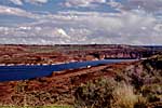
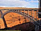
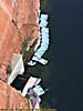
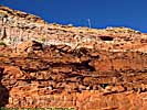
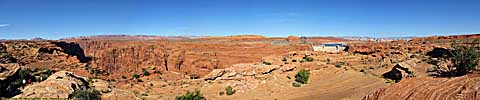
The Glen Canyon National Recreation Area encompasses and products the Colorado River (and many of its tributaries) from Canyonlands to Grand Canyon National Park. It is mostly a creation of the Glen Canyon Dam, which creates a reservoir behind it (Lake Powell) a hundred miles long. Included on this page is the Navajo Bridge and the Lees Ferry Unit of the park, river level access a dozen miles below the dam. |
| Arizona, Utah / 47 Images. Visited Sep 1997, Sep 2008. | |
| Lake Powell, Glen Canyon NRA | |
|---|---|
|
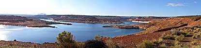
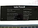
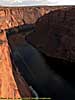
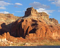
Lake Powell is created from the Colorado River (and its tributaries) by the Glen Canyon Dam. It's approximately 140 river miles (100 linear miles) long, and provides water, power and entertainment to millions in the Southwest. Using it as a water route is also the only convenient way to get to Rainbow Bridge National Monument. These images are of the 50 river miles from Wahweep to Rainbow Bridge National Monument. |
| Arizona, Utah / 48 Images. Visited Sep 2008. | |
| US-89 | |
|---|---|
|
US-89 is a remarkable road that follows some of the most scenic areas of the West from Canada to Arizona, and along the way passes through (or comes within a few miles of) over a half dozen major Western Parks. Glacier to Yellowstone to Grand Teton, Bryce, Zion, Glen Canyon and Grand Canyon. I've actually frequented this road quite a bit, but in a disjointed, non-continuous fashion. |
| Visited Various | |
Glen Canyon Damn Trip Report: Sep 2008.
| Return to: | State Index | Arizona State Page | Glen Canyon NRA | Rivers and National Recreation Areas |
|---|
- 04/30/2016 - Initial deployment
- April 2017 - Upgrade to v3.4.
- August 2022 - Upgrade to v5.0.
| Help! | About This Site | Contact Me |