
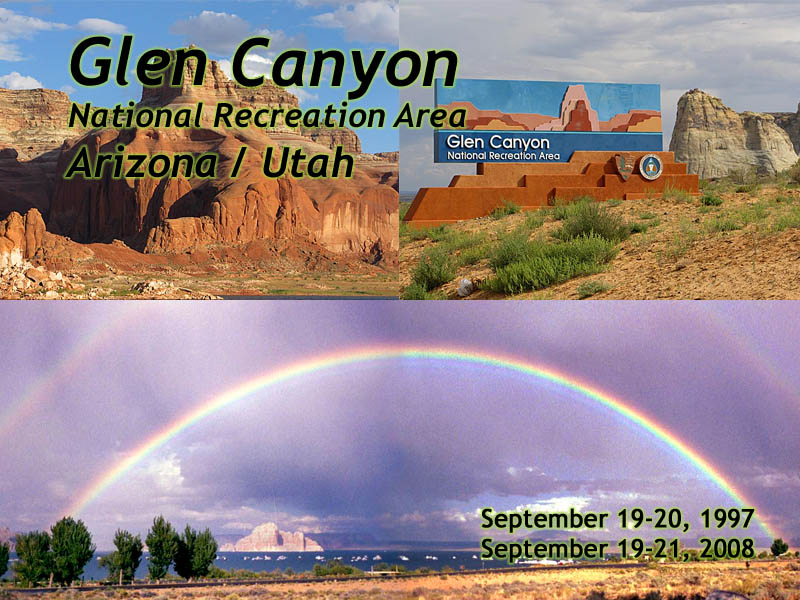
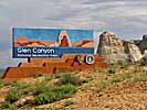
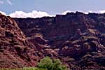
Glen Canyon National Recreation Area
|
| Click to go directly to the slideshow |
The best solution in the late 50's, was another dam. There were several sites investigated, and the first (and as history shows, only) site chosen was the remote and rarely visited Glen Canyon.
It was ideal. The Colorado River transitioned from Glen Canyon into a relatively narrow Marble Canyon, and it was over 600 feet from the riverbed to the rim of the canyon. The dam was built, the lake behind the dam (named "Lake Powell" after the man who commanded the first exploration of the area in 1869,) started filling in early 1963, and reached capacity for the first time in 1980.
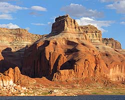
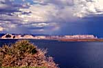
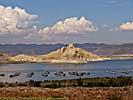
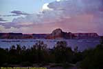
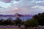
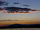
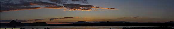
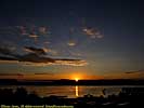
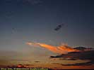
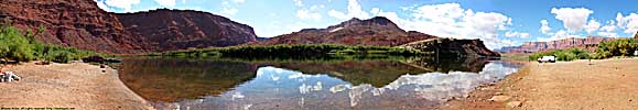
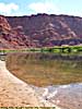
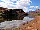
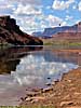
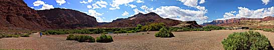
| Lake Powell, Glen Canyon NRA | |
|---|---|
|
Lake Powell is created from the Colorado River (and its tributaries) by the Glen Canyon Dam. It's approximately 140 river miles (100 linear miles) long, and provides water, power and entertainment to millions in the Southwest. Using it as a water route is also the only convenient way to get to Rainbow Bridge National Monument. These images are of the 50 river miles from Wahweep to Rainbow Bridge National Monument. |
| Arizona, Utah / 48 Images. Visited Sep 2008. | |
|
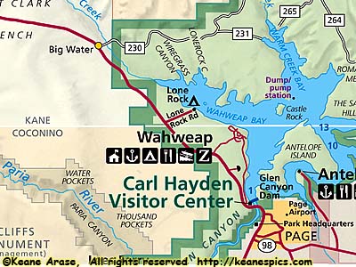
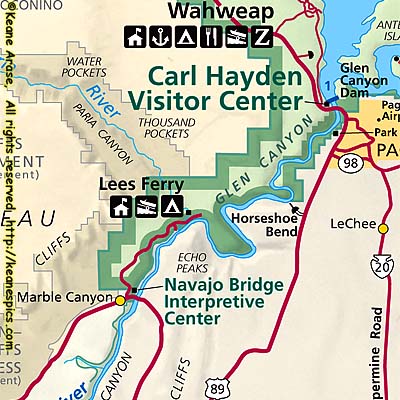
| Cropped area near the Park Headquarters. Click for a full map. This map was downloaded from the NPS site. |
I have a hard time imagining what Glen Canyon looked like before it was flooded, but looking at Canyonlands upstream, and Marble Canyon downstream is a pretty good indication. But regardless of how you want to look at Lake Powell and the Glen Canyon NRA, it is impossible to deny that the reservoir has benefited millions, from the hydro-power generated by the dam, to non-seasonal, consistent water supplies, to cheap produce sent across the country. Without Lake Powell and Lake Mead, Las Vegas, Phoenix and other large cities in the Southwest would be a fraction of their size, and smaller cities may not have existed at all...
Of course, the Glen Canyon National Recreation Area is just a side-effect of all of this. The NRA is a huge place, starting in Arizona at the Northern tip of Grand Canyon and stretching all the way to Canyonlands. It holds the confluence of the Colorado and several major tributaries including the San Juan River, protecting the San Juan almost all the way to Mexican Hat, Utah.
Glen Canyon National Recreation Area
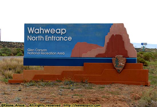
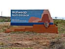
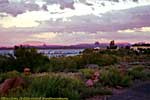
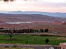
Wahweap Area
|
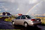
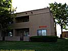
| Wahweap |
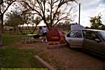
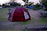
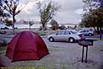
Wahweep really isn't a town (that award goes to Page, a few miles away), but it is the general access/tourist area for the Dam end of Lake Powell. It has a marina, hotel, campground, restaurants, gift shop, tourist services (such as boat tours and rentals), etc.
I feel I should add that the camping pics are from 1997, from a time when I really didn't care to sleep on the ground anymore, mattress pad or not. That was 20 years ago, and I'm doubling down on the not sleeping on the ground thing.
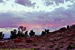
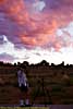
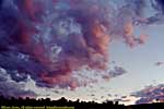
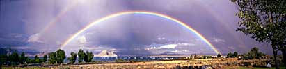
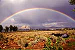
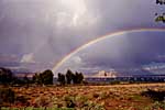
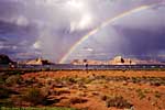
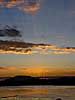
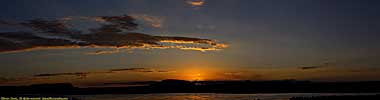
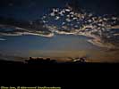
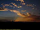
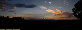
Proof you only need to be in the right place at the right time...
Here's one of my life's observations. You don't need a lot of skills taking some pictures, you just need to be in the right place at the right time.Or my other axiom. If you want to take great pictures, go to places you can't help but to take great pictures.
Or, once in a lifetime shots are only once in a lifetime. Make sure you have a camera ready for it.
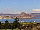
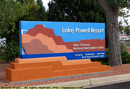
Lake Powell Resort
|
| Lake Powell Resort |
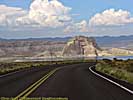
Glen Canyon Dam and Page, Arizona
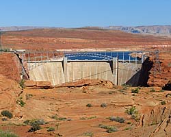
| Glen Canyon Dam, Glen Canyon NRA | |
|---|---|
|
Glen Canyon Dam is a 600 foot high thumbnail that
holds back the Colorado River creating the massive reservoir named Lake Powell.
I took the Dam tour, and it was a dam... It was an impressive tour which takes you all the way down to the generator room via two sets of elevators. No stairs, but there is some walking involved. |
| Near Page, Arizona / 56 Images. Visited Sep 2008. | |
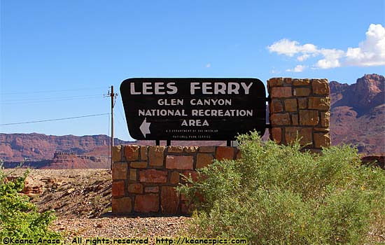
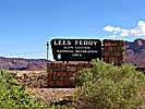
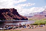
Lees Ferry Unit, Glen Canyon NRA
|
| Glen Canyon National Recreation Area - Lees Ferry Unit... |
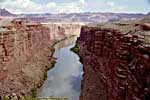
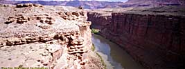
Lee's Ferry was named for John D. Lee, the same guy who was to become the eventual scapegoat for the Mountain Meadows Massacre and was executed for the crime. He ran a river ferry here, the only river level access and crossing for dozens of miles in either direction. It was the only crossing point of the Colorado River in the area for decades until the first Navajo Bridge was built in 1929.
Today, this is still mostly true. A second Navajo Bridge was built for heavy truck traffic (the original is now a pedestrian only bridge) and the Glen Canyon Bridge (US-89) in front of the Dam are a dozen miles apart, but then the only other crossings of the Colorado is 55 miles to the North (Utah-276 at Hall's Crossing) where a Ferry runs if the reservoir is high enough, and 200 miles to the West, where US-93 crosses the Hoover Dam.
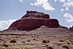
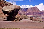
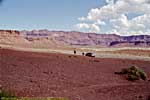
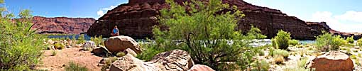
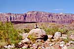
So not only do you get some history and a free flowing Colorado River here, but there are some enormous balanced rocks and some very pretty scenery.
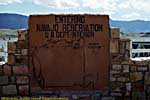
Interestingly (according to the maps), the Western shore here is part of Glen Canyon NRA, but the Colorado River itself is still part of Grand Canyon National Park until you get to the confluence of the Colorado and the Paria Rivers, just upstream from the public access point. The Eastern side of the River is the Navajo Indian Reservation.
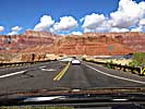
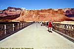
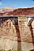
Navajo Bridge / Marble Canyon (US-89A)
The original Navajo Bridge is now a foot-traffic only bridge, allowing tourists to venture over the 500 foot drop to the Colorado River, without getting hit by the automobiles and trucks on the main span.While not actually part of Glen Canyon NRA, it's a must see right next to the entrance to Lees Ferry. Any rafts you see were most likely launched from there.
|
| Cropped map of Lee's Ferry. Click for a full size map, but it'll be the same map as the one at the top of the page... |
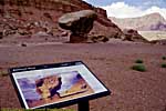
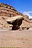
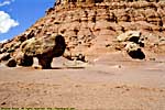
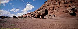
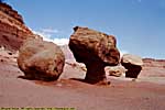
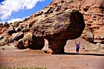
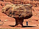
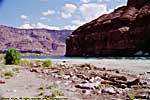
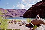
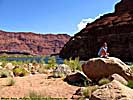
Balanced Rocks
Between the Entrance and Paria Beach are some of Mother Nature's interesting handiwork, whose scale is lost until you put a human under it.
Lees Ferry Unit / Balanced Rocks
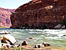
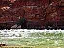
Paria Beach
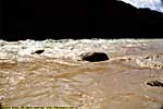
Paria Beach offers river level access for both fishing and wading. The Colorado here is a much different river than the one by Glenwood Springs and Moab, having gathered other rivers like the Green and San Juan, then having all the sediment filtered out by Lake Powell.There is some staining as the still dirty Paria River mixes with the clear waters, that that'll get filtered out by Lake Mead...
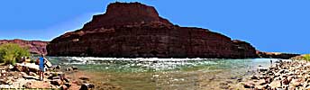
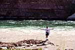
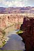
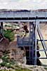
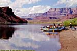
Colorado River Access Point
In addition to a motorboat launch here, this is where many of the Grand Canyon rafting trips start.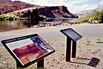
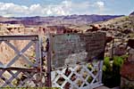
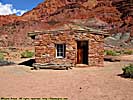
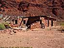
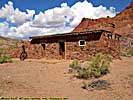
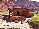
John D. Lee's House
Lee's house is still here, though it was probably occupied by other ferry tenders in the 56 years the ferry operated. He had a pretty nice view outside his front door, though he probably saw some flooding here...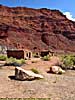
Lees Ferry is right off of US-89A, so if you're going from the South to the North Rim of Grand Canyon, you're going to pass right by it. Even if you're in Wahweep, if you've got the time (a half-day trip) and the car, it's probably worth the drive there just for the scenery from Antelope Pass, the Vermillion Cliffs, Marble Canyon and the river level access of the Colorado...
Related Links
| Colorado River | |
|---|---|
|
The Colorado River starts as a small stream in Rocky Mountain National Park, and gathers hundreds of other streams and rivers along the way to become the lifeline of the Southwest, providing water, electricity and recreation to millions in the five states the river flows through or touches. I've actually followed the river in one form or another, from Rocky Mountain National Park to Grand Canyon. I've also done more river miles on the Colorado than any other river... |
| Colorado, Utah and Arizona / 55 Images. Visited Sep 2005, Sep 2008. | |
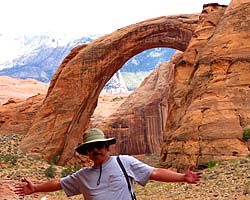
| Rainbow Bridge National Monument | |
|---|---|
|
Rainbow Bridge National Monument is the largest (known) Natural Bridge in the world, at 290 feet high and 275 feet wide. It is accessible by boat from Lake Powell, or you can get a permit from the Navajo, and do an arduous 14 mile hike across a sandstone desert. |
| Near River Mile 49, Lake Powell, Utah / 47 Images. Visited Sep 2008. | |
| US-89 | |
|---|---|
|
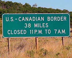
US-89 is a remarkable road that follows some of the most scenic areas of the West from Canada to Arizona, and along the way passes through (or comes within a few miles of) over a half dozen major Western Parks. Glacier to Yellowstone to Grand Teton, Bryce, Zion, Glen Canyon and Grand Canyon. I've actually frequented this road quite a bit, but in a disjointed, non-continuous fashion. |
| Visited Various | |
Glen Canyon NRA Trip Reports: Sep 1997, Sep 2008.
| Return to: | State Index | Arizona State Page | Utah State Page | Rivers and National Recreation Areas |
|---|
- 04/30/2016 - Initial deployment
- April 2017 - Upgrade to v3.4.
- August 2022 - Upgrade to v5.0.
| Help! | About This Site | Contact Me |