2005 Desert Southwest Vacation, Part 3
September 6 to 22
Mono Lake (Lee Vining, CA) - September 17
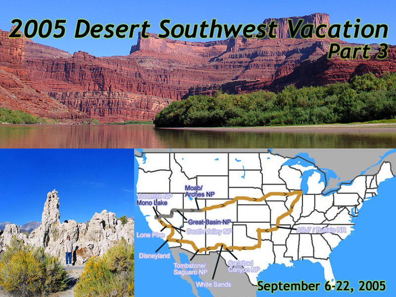 |
| 2005 Desert Southwest Vacation - 17 days, 5960 miles. Days 11-17, Mono Lake (Lee Vining, CA) to Home. |
Just North of the intersection of CA-120 and US-395 is the town of Lee Vining. It's named for Leroy Vining, a guy in a group of prospectors who established a camp here in 1852. Big Deal.
The interesting part of this place, is Mono Lake.
As a geologic site, it's estimated that the lake is over a million years old, and is one of the oldest continuous existing lakes in North America. The lake is ringed by volcanoes, and even the two major islands in the middle of mono lake are volcanic domes.
The lake lies in the Mono Basin, which means it has no water outlet. So all the trace minerals and salts from the Sierra Nevada runoff water concentrate as the water evaporates in the desert heat. After literally thousands of years of this process, the lake is 2 and a half times as salty, and 80 times as alkaline as the ocean.
As a political site, Mono Lake is probably the place where the modern environmentalist movement started. By 1941, Los Angeles had already consumed the Owens River, and needed more water. So they bought up the water rights to the springs that fed Mono Lake.
By 1976, Mono Lake had fallen 40 feet. David Gaines and a dozen students from Los Angeles came here to study the lake, and rather than using dynamite to blow up the aqueduct like the local residents did, they found a sympathetic court system, and in 1988 successfully sued Los Angeles to return water to mono lake.
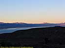
We were there during the harvest moon. It was a beautiful full moon hanging over the mountains visible right outside the door. My hotel room also had a great view of the lake, until I found I was 30 feet off a cliff. But I digress.
Mono Lake (South Tufa Area) - September 18
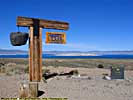
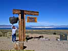
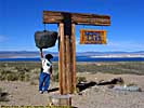
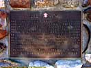
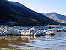
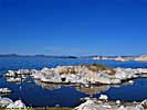
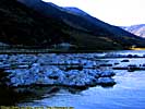
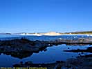
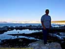
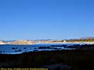
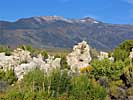
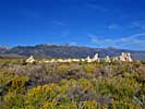
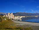
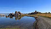
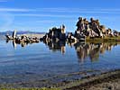
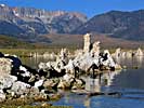
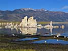
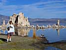
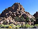
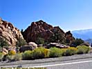
We had breakfast at a diner across the street from the hotel, since it wasn't very obvious where our next meal would be. We'd be going through some pretty lonely areas...The South Tufa Area of Mono Lake was on the way out, so we stopped in for some pictures. I should point out that this area is also known as the "Mono Basin National Forest Scenic Area." How many trees do you see in the pictures? But I digress.
The most obvious features here are the tufa, which is calcium carbonate that's formed when the underground fresh water springs combine with the alkaline lake water. Some of these tufa are 30 feet high, and used to be under water at one time. But that's another story.
The most interesting... or disgusting feature of Mono Lake, are the alkali files. Millions of these insects line the shore of the lake, and it's somehow disturbing to my psyche when the dark ground in front of you parts as you walk by the shoreline. On the other hand, I understand the pupae are tasty, and the birds don't mind a bit. Oh, they estimate that 85% of California's sea gulls start their life here, so if you've been bombed by a California gull, this is where it came from.
Nevada (Might be California...)
After leaving Mono Lake, we took California 120 toward Nevada, into the largest desert in the United States. California 120 is a gorgeous road that winds its way around the terrain rather than through the terrain, and saves roughly 50 miles from having to drive down the US highways through Bishop. Everyone should have the chance to drive roads like this.In places, huge pine trees line the road, and I should note that you can find perfect, large pine cones fresh from the source... Heh.
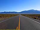
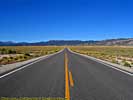
Anyway, my notes say these pictures are from US-6 in Nevada, but I'm not sure. Some of the time stamps seem to be too early to be Nevada...
Somewhere close to the California-Nevada border, we entered The Great Basin Desert. It covers some 190,000 squares miles, encompassing almost all of Nevada, and half of Utah. Some even claim it extends as far North as Southeastern Oregon, a claim I find entirely credible. Now, I've been in patches of humanless areas, but nothing as unpopulated as my trip through Nevada. It's the least populated area in the US outside of Alaska.
One of the reasons I came this way was to drive US-50, what Life Magazine in 1986 labeled as The Loneliest Road In America. It was part of the original Lincoln Highway, the first trans-continental road for cars.
We headed East down US-6 to Nevada-376, and headed North to US-50. Of course, US-50 isn't the loneliest road anymore, but if I had to give the award to another highway, it'd be Nevada-376.
We spent the night in Ely, Nevada, whose biggest claim to fame is it's a town. Look at a map. Any map. There's Ely, and then there's a lot of nothing around it. Oh, it's the home to Pat Nixon, one of its biggest claims to fame... :-)
I will also add, I had very good high-speed internet access here, in the middle of nowhere, in 2005. Of course, the jack was behind the door, not close to any table, which is why I started to carry a 20 foot cable with me...
Great Basin National Park - September 19
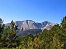
Great Basin was declared a national park in 1986, but this place was originally known as Lehman Caves National Monument, established in 1922.At the end of the last ice age, some 15,000 years ago, the Great Basin was a series of lakes created from the melting glaciers. The largest of these lakes, the 20,000 square mile Lake Bonneville, had its shoreline around here for several thousands of years. About 10,000 years ago, the climate turned warmer, warm enough to melt all the glaciers, and evaporate the lakes.
As the area became drier, hotter and more hostile, the higher elevations in the mountains that dot the desert became small islands that could still support life. So the ironic thing about Great Basin National Park is that it's not a basin, but a chain of mountains in the middle of the Great Basin Desert.
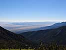
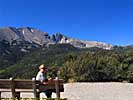
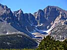
I didn't schedule much time in the park, I wanted to be in Moab, Utah that night, about another 325 miles toward the East. So we just did Wheeler Peak Scenic Drive. The reason it's scenic, is because you can see amazing distances. It does this by starting in the small city of Baker at 5317 feet, and peaks at over 10,000 feet, before terminating at a 9886 feet. That's about 4600 feet in about 17 miles. And that leads to some pretty steep, narrow roads, with sheer drop-offs.
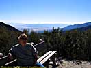
I admit it, heights bother me. But no place else in all of my travels, did a road scare me as bad as the road up to Wheeler Peak. I think guard rails would have helped. Of course, there's this road in Colorado named the "Oh My God" road that I will have to drive one day...
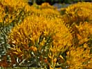
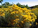
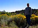
Oh, do you see those yellow flowers? Jo even posed by 'em. Thought they were pretty. Being Jo, she stuck her nose into it and inhaled. Not to much later, her sinuses went off the charts and basically took her out for a day. When she actually asks for the anti-histamines, you know she suffering... We asked a maintenance guy at the Visitors Center, and he said it was the ragweed of the desert. Heh.
Great Basin to Moab, Utah - September 19
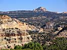
Once you get on I-70 East, you climb out of the Great Basin and into the San Rafael Swell, and the desert environment we'd been seen for days now, changed. Gone were the flat scrub and dry, salt lake beds, and in their place were sandstone rock formations, the result of the uplifting of the land 40 to 60 million years ago.Million dollar views from the Driver's Seat. What more could you ask for?
Colorado River Jet Boat Tour - September 20
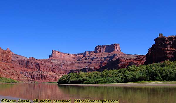 |
| We took a Jetboat ride! Colorado River, Moab to Canyonlands. |
The schedule had been pretty rigid up until now, since I had unalterable reservations at a lot of places up to Ely, NV. So at some point during the evening, we decided to go tourist.
After the swamp tours in New Orleans and airboat rides in the Everglades, why not a jet boat ride down the Colorado?
Of all of the tourist attractions like this I've been on, I've yet to find a dud. I'm sure they exist, and I'm sure I'll stumble into one sooner or later, but so far, I think I've been lucky. I suppose really helps when the scenery is awesome. I suppose after these guys have been doing the tours everyday for the entire summer, they have an idea of what works, and what doesn't.
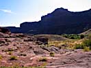
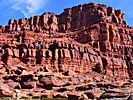
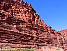
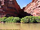
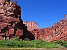
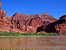
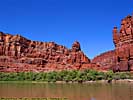
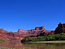
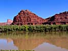
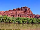
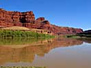
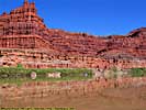
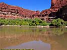
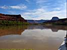
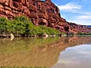
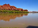
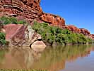
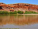
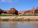
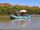
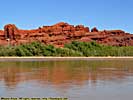
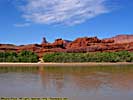
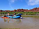
Anyway, the tour takes you 32 miles down the Colorado River from Moab to Canyonlands, with a few stops along the way. While it's mostly stopping along the river to see the sights, you do get off the boat in Dead Horse State Park, albeit from the river level. I'd highly recommend the tour...
Colorado River Jet Boat Tour (from Moab to Canyonlands National Park), Part 1







Colorado River Jet Boat Tour, Part 2
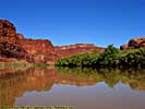
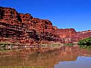
These pictures are mostly from the trip from Canyonlands back to Moab.
Colorado River Jet Boat Tour, Part 2






Arches National Park - September 20
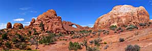
While the jet boat trip cancelled any plans of going into Canyonlands National Park (by car, anyway), I wasn't going to let Arches slip through my fingers. I wanted to take Panoramic Landscapes and Video.From my visit to this park in 1997, I knew exactly what I wanted, and was in and out of the park in four hours. There's a new entrance to the park, and a new visitor's center, and the park is a bit more popular with the tourists, but it was still the alien landscape I remember.
There are more than 1600 cataloged arches within the parks boundaries, the greatest density of stone arches anywhere in the world. This is probably one of the premier National Parks in America, and definitely in my top 10.
Arches National Park, Part 2
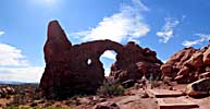
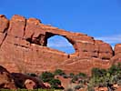
The windows area of the park has an high concentration of famous arches, The Parade of Elephants, Double Arch, North and South Windows (The Spectacles) and Turret Arch.As you can tell from the picture below, Jo was still suffering from sticking her nose into that flower in Great Basin...
Arches National Park, Part 3
From the Windows area, we visited Fiery Furnace, Skyline Arch, and the most iconic arch, one of Utah's icons, Delicate Arch.Final Thoughts
The rest of the trip was a speed run home. I had been in Rocky Mountain National Park a month and a half ago, and the weather was terrible. If the weather was nicer when we passed the park, I was going to stop in and retake some panoramics. It wasn't. And having been this way in such a short time, didn't motivate me to take out the camera.In 2005, I was still using my Canon G2, and Jo's Canon G5. So the camera technology was still about even par with what I could do with 35mm at the time. However, my panoramic skills became better, and there were 57 panoramics total from this trip, which greatly increased the time it took to generate all the images.
Overall, the trip was a success, except for Jo having a problem with the heat and sun in Death Valley, and shoving that flower up her nose in Great Basin...
I did keep somewhat more accurate records this trip.
Keane's 2005 Desert Southwest Trip:
Days: 17
Miles: 5963 miles
Miles/Day: 351 miles/day
Gas (Gallons): 238.46
Cost (Gas+Oil Change): $791.88
Miles/Gallon: 25.01
Cost (lodging): $2,238.50. (The cost is skewed because we stayed at the Grand
Californian in Disneyland Resort for three nights, at $320/night, or roughly
over three times the average of all the other nights combined.)
Cost (food): $520
Cost (attractions): $403
End 2001 West Vacation - Part 3 of 3.
| Jump to: | Part 1 | Part 2 | Part 3 |
|---|
- 09/04/2013 - Updated to v3.11
- 08/31/2014 - Update to v3.2
- September 2022 - Upgrade to v5.0.
| Help! | About This Site | Contact Me |

