
Dead Horse Point State Park, Utah
| Introduction | Dead Horse Point State Park | Dead Horse Point State Park at Colorado River level | Related Links |
|
| Click to go directly to the slideshow |
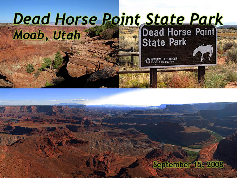
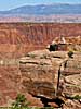
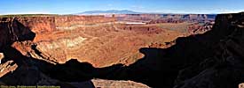
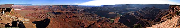
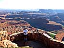
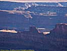
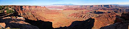
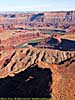
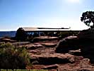
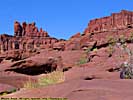
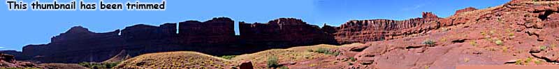
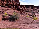
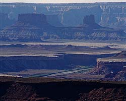
That was then. Today you can drive through the Neck, to the end of the mesa for a spectacular view of the Colorado River and canyons it created, as well as the gooseneck the Colorado forms as it enters Canyonlands National Park.
|
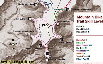
| Cropped map of Dead Horse Point State Park. Click on the map for a larger view. |
In any event, Dead Horse Point is literally on the way to or from the Islands in the Sky District of Canyonlands National Park. A definite stop is in order, if only to get a better view of the river itself.
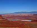
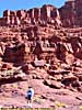
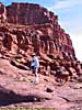
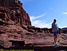
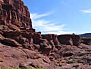
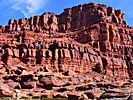
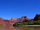
In 2005 we took a Jet Boat tour down the Colorado from Moab to Canyonlands (highly recommended, by the way), and one of the stops was near Dead Horse Point at river level.
Dead Horse Point State Park at Colorado River level
Related Links
Arches and Canyonlands National Parks are neighbors of Dead Horse Point State Park.
| Arches National Park | |
|---|---|
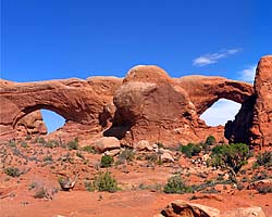 |
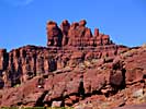
Arches National Park is a unique park, a
sandstone desert with a unique geology that allows the formation of stone arches.
Arches National Park has the greatest density of stone arches in the world.
Although it's only a few dozen river miles upriver from Canyonlands, the two parks are completely different in character and content. |
| Near Moab, Utah / 58 Images. Visited Sep 1997, Sep 2005 | |
| Canyonlands National Park | |
|---|---|
|
Canyonlands National Park is proto-Grand Canyon,
and in my opinion even more impressive in many ways. It is the confluence
of the Green and Colorado Rivers, a major contributor making the Colorado
the powerhouse river of the Southwest. Once the Colorado enters Canyonlands,
it doesn't leave Federal land until the river reaches the California.
I've only been to the Island In The Sky District, since it was the most accessible. |
| Near Moab, UT / 49 Images. Visited Sep 1997, Sep 2008. | |
| Colorado River | |
|---|---|
|
The Colorado River starts as a small stream
in Rocky Mountain National Park, and gathers hundreds of other streams
and rivers along the way to become the lifeline of the Southwest,
providing water, electricity and recreation to millions in the five
states the river flows through or touches.
I've actually followed the river in one form or another, from Rocky Mountain National Park to Grand Canyon. I've also done more river miles on the Colorado than any other river... |
| Colorado, Utah and Arizona / 55 Images. Visited Sep 2005, Sep 2008. | |
Dead Horse Point Trip Reports: Sep 2005, Sep 2008.
| Return to: | State Index | Utah State Page | Moab, Utah | State Parks |
|---|
- 04/30/2016 - Initial deployment
- April 2017 - Upgrade to v3.4.
- August 2022 - Upgrade to v5.0.
| Help! | About This Site | Contact Me |