 Previous image
Next image
Return to 2006 Pacific Northwest Vacation 4
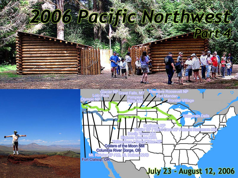
Location: 2006 Pacific Northwest Vacation 4 Image: 1 of 147
Description: Title Card
Location: SR-4, WA Image: 2 of 147
Description: Toward the Pacific
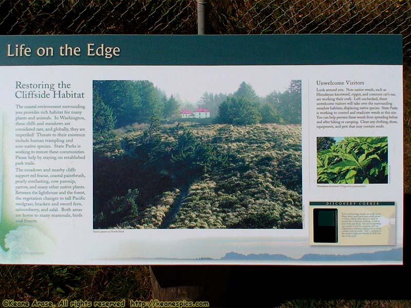
Location: North Head Lighthouse Image: 3 of 147
Description: Life On The Edge sign
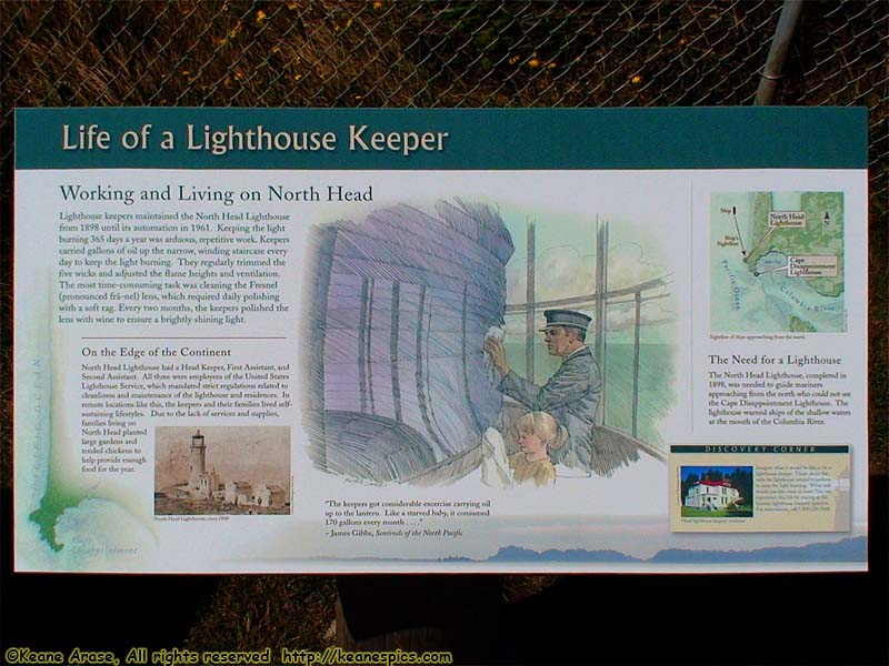
Location: North Head Lighthouse Image: 4 of 147
Description: Life of a Lighthouse Keeper sign
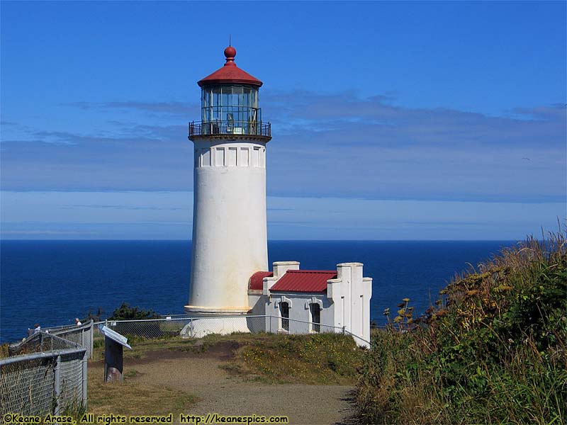
Location: North Head Lighthouse Image: 5 of 147
Description: North Head Lighthouse
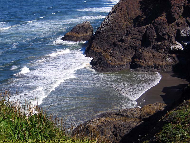
Location: North Head Lighthouse Image: 6 of 147
Description: Beach to the North
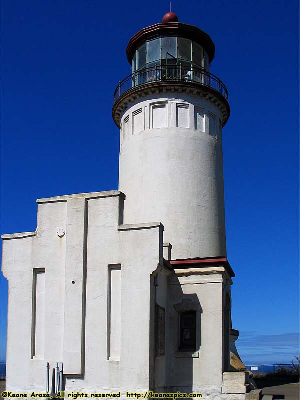
Location: North Head Lighthouse Image: 7 of 147
Description: North Head Lighthouse
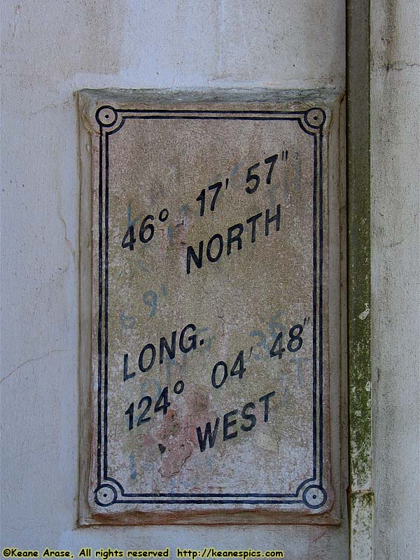
Location: North Head Lighthouse Image: 8 of 147
Description: Coordinates

Location: North Head Lighthouse Image: 9 of 147
Description: Looking North
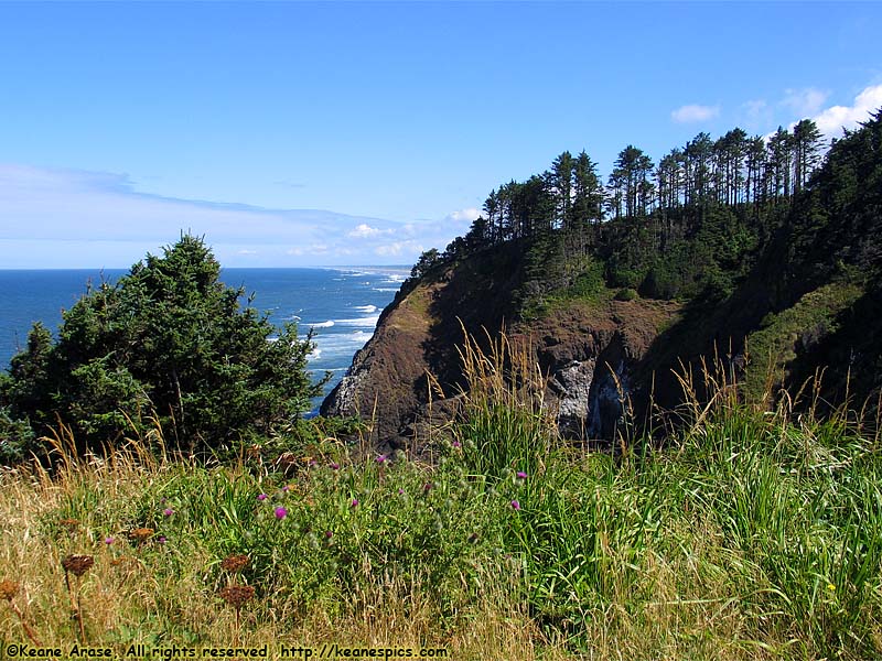
Location: North Head Lighthouse Image: 10 of 147
Description: Looking North
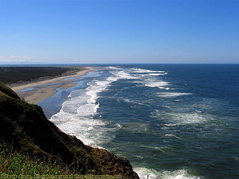
Location: North Head Lighthouse Image: 11 of 147
Description: Looking South (toward the Columbia River)
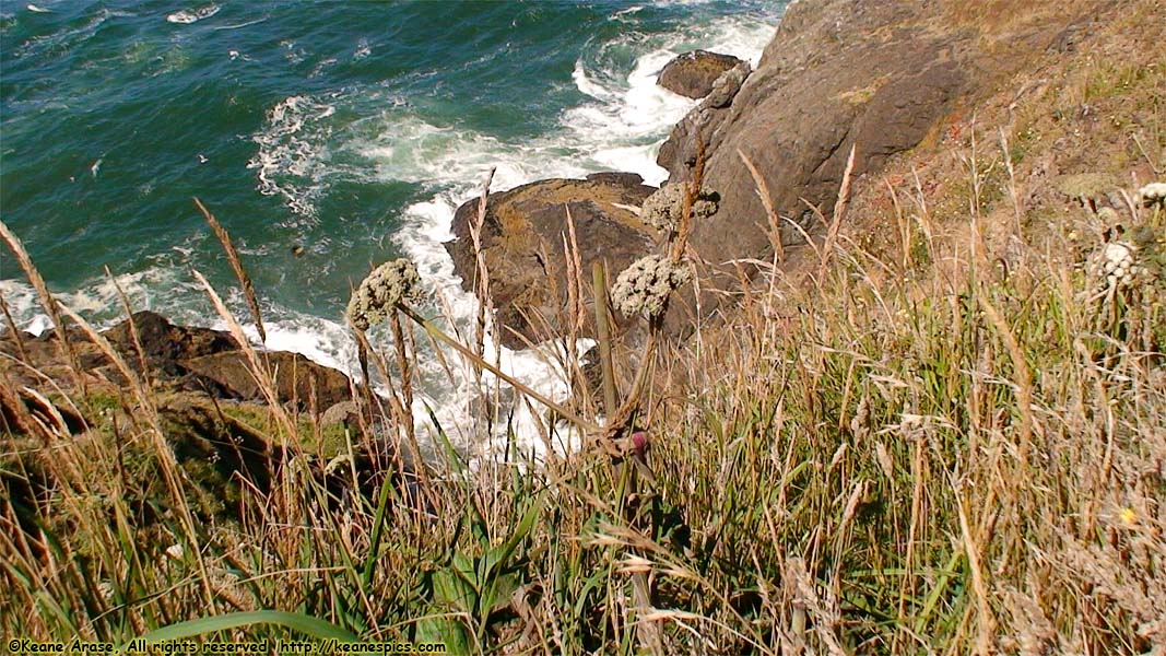
Location: North Head Lighthouse Image: 12 of 147
Description: Looking South (toward the Columbia River)
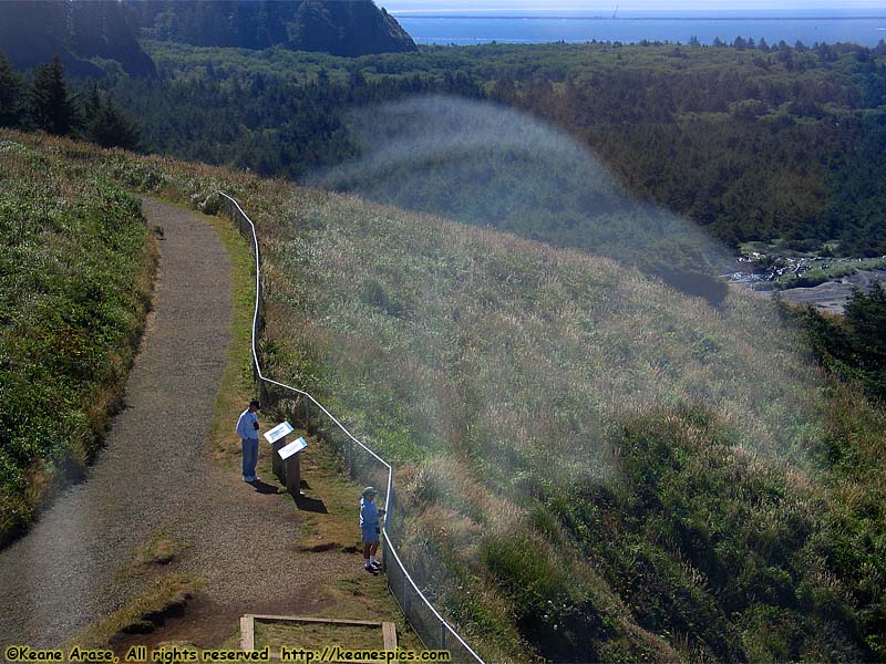
Location: North Head Lighthouse Image: 13 of 147
Description: From the top of the lighthouse
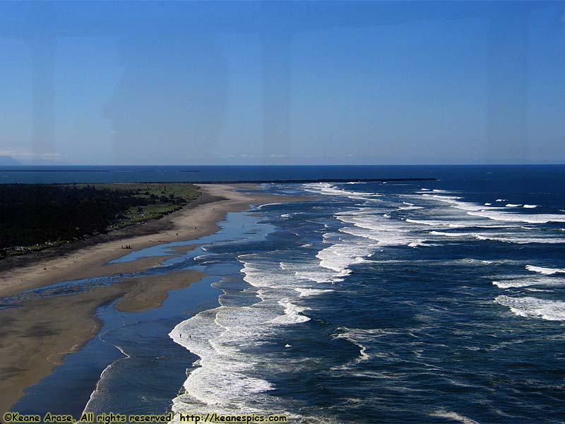
Location: North Head Lighthouse Image: 14 of 147
Description: From the top of the lighthouse
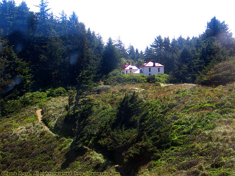
Location: North Head Lighthouse Image: 15 of 147
Description: From the top of the lighthouse
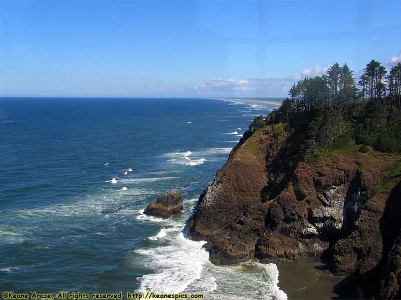
Location: North Head Lighthouse Image: 16 of 147
Description: From the top of the lighthouse
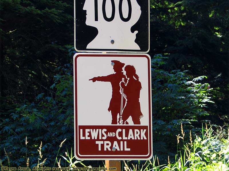
Location: Lewis & Clark Trail Image: 17 of 147
Description: Sign
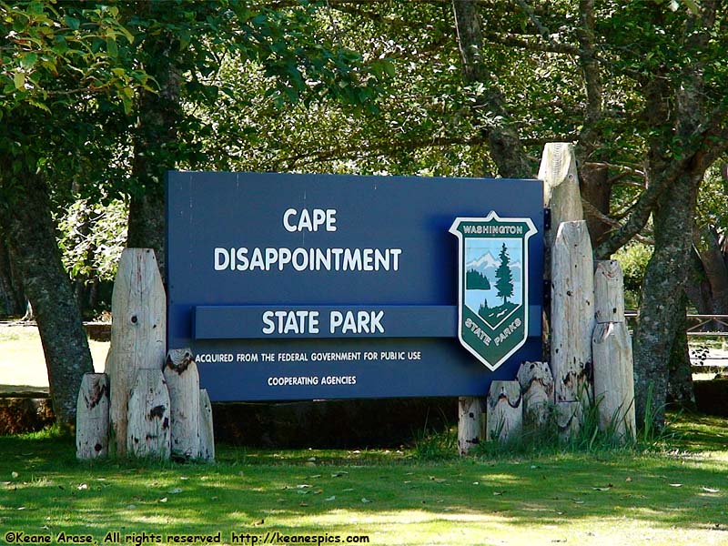
Location: Cape Disappointment State Park Image: 18 of 147
Description: Entrance Sign
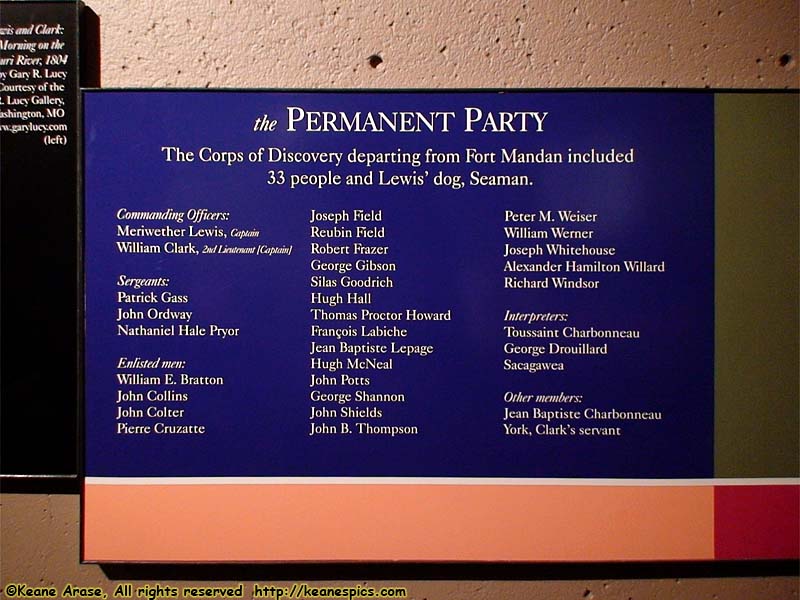
Location: Cape Disappointment State Park Image: 19 of 147
Description: Corps of Discovery Roster sign
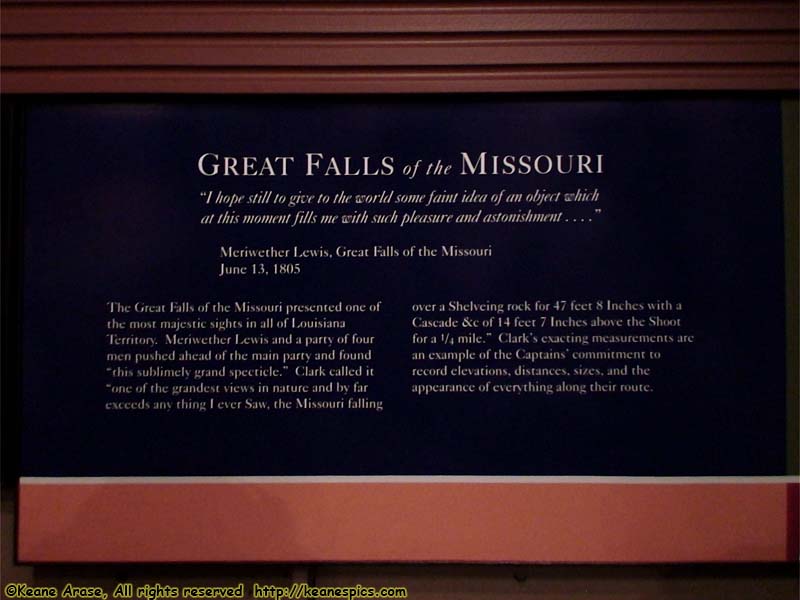
Location: Cape Disappointment State Park Image: 20 of 147
Description: Great Falls of the Missouri sign
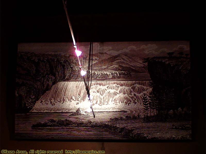
Location: Cape Disappointment State Park Image: 21 of 147
Description: Great Falls picture
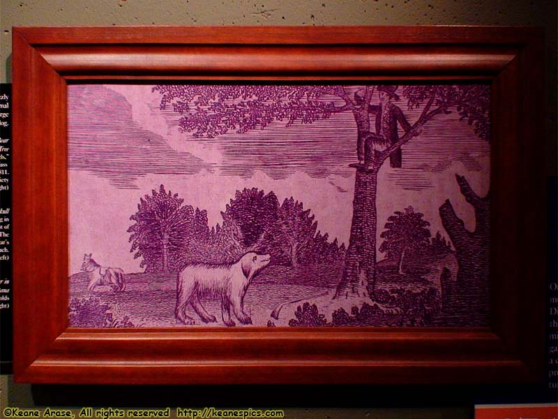
Location: Cape Disappointment State Park Image: 22 of 147
Description: Laughable picture of a Grizzly Bear
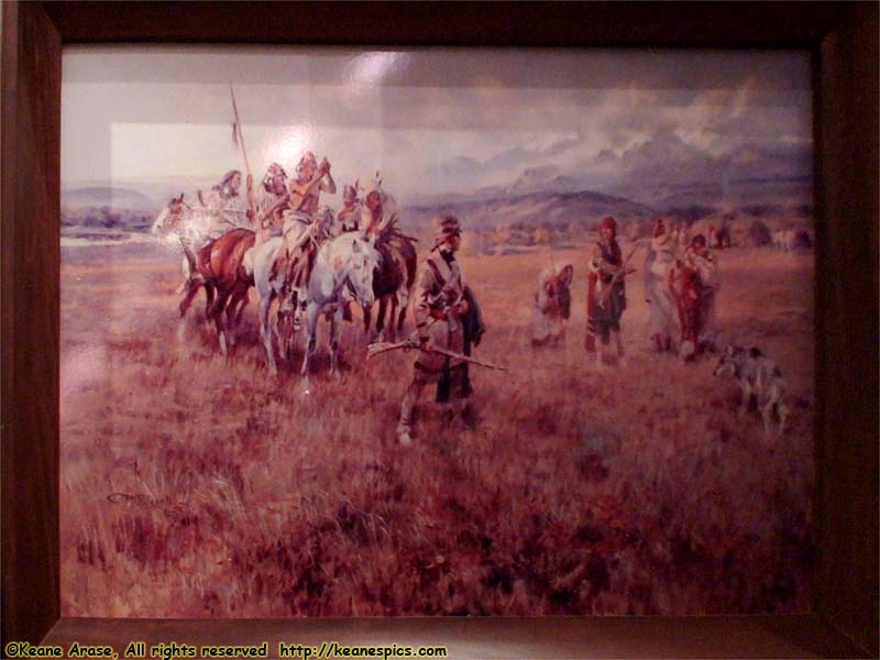
Location: Cape Disappointment State Park Image: 23 of 147
Description: Lewis & Clark painting
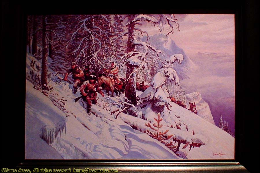
Location: Cape Disappointment State Park Image: 24 of 147
Description: Across the Bitterroots painting
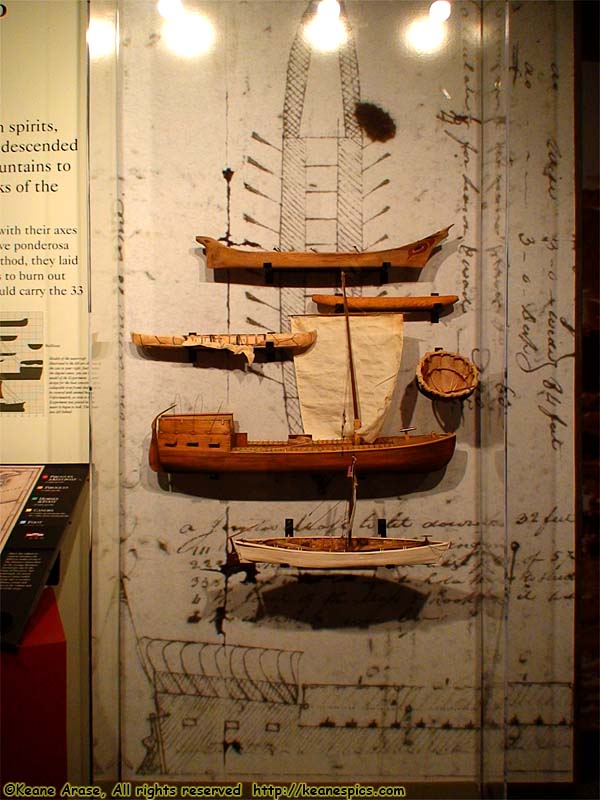
Location: Cape Disappointment State Park Image: 25 of 147
Description: The Keelboat
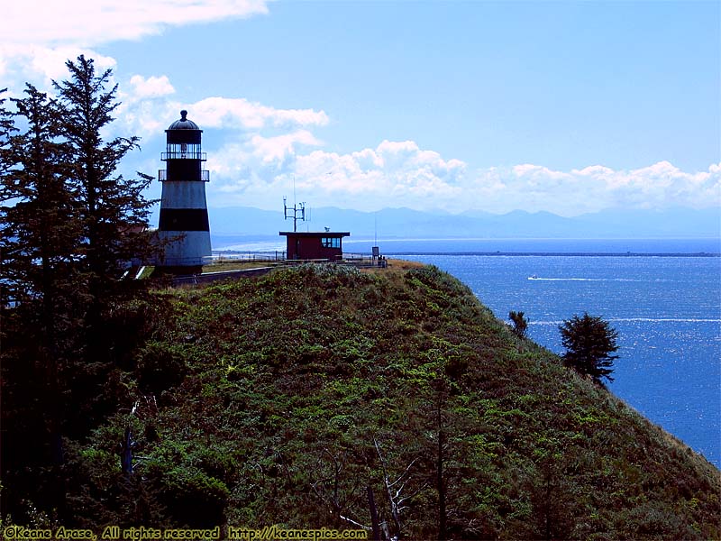
Location: Cape Disappointment State Park Image: 26 of 147
Description: Cape Disappointment Lighthouse
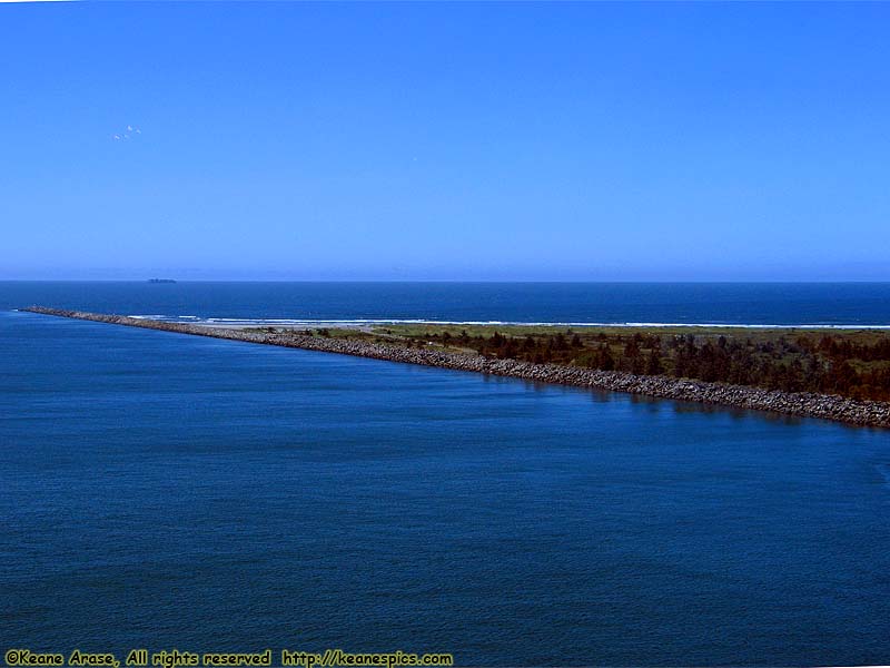
Location: Cape Disappointment State Park Image: 27 of 147
Description: Mouth of the Columbia River
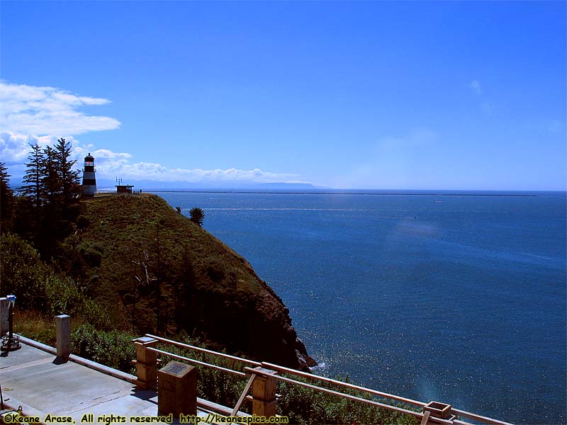
Location: Cape Disappointment State Park Image: 28 of 147
Description: Interpretive Center
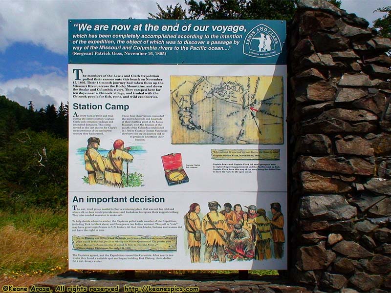
Location: US-101, WA Image: 29 of 147
Description: Station Camp sign
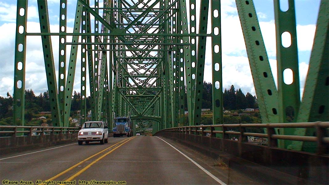
Location: Astoria Bridge Image: 30 of 147
Description: Washington / Oregon bridge
Location: Oregon Image: 31 of 147
Description: Welcome to Oregon
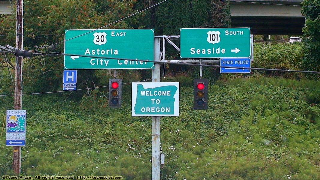
Location: Oregon Image: 32 of 147
Description: Welcome to Oregon
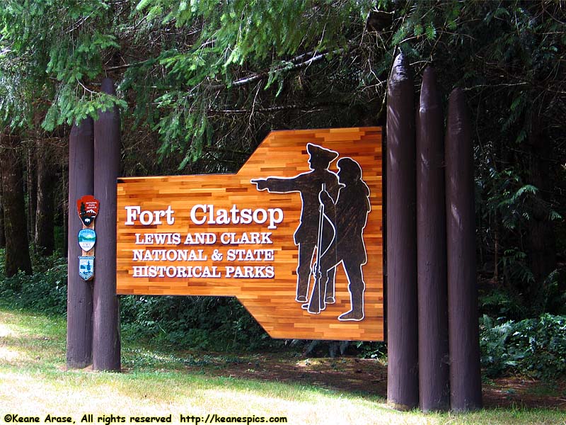
Location: Fort Clatsop National and State Historical Park Image: 33 of 147
Description: Entrance Sign
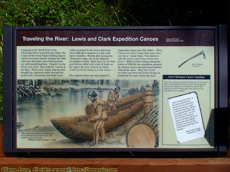
Location: Fort Clatsop National and State Historical Park Image: 34 of 147
Description: Traveling the River (Canoe) sign
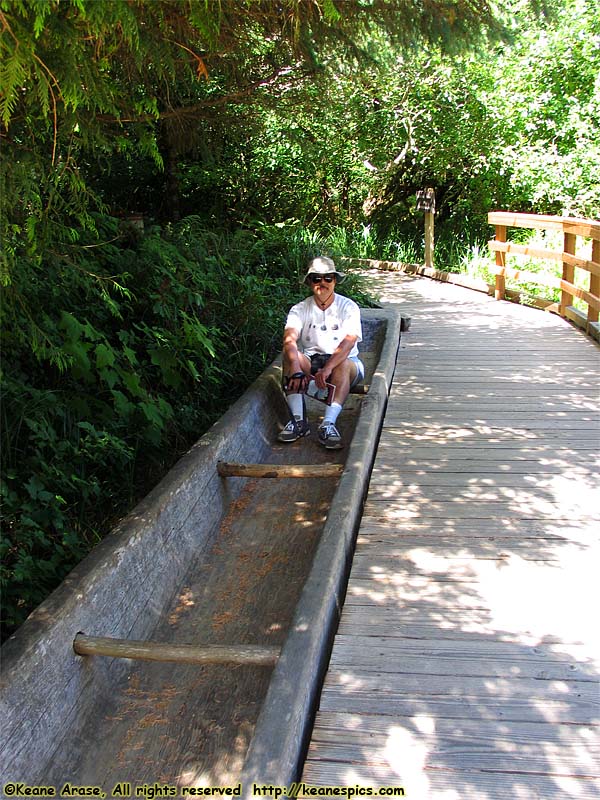
Location: Fort Clatsop National and State Historical Park Image: 35 of 147
Description: Canoe
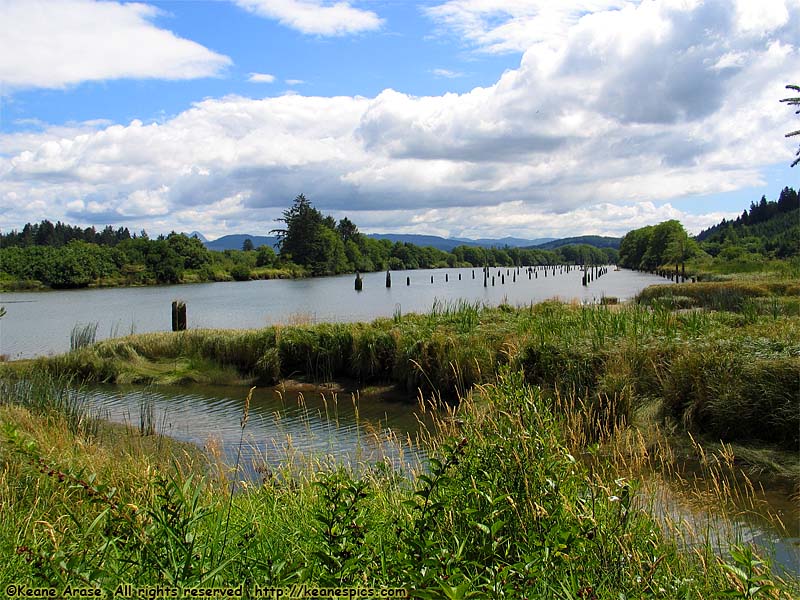
Location: Fort Clatsop National and State Historical Park Image: 36 of 147
Description: Old dock area
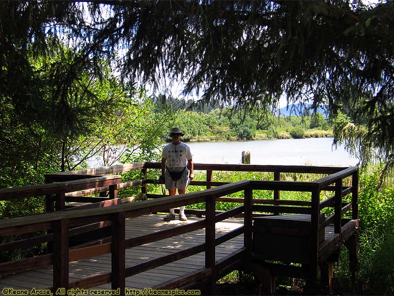
Location: Fort Clatsop National and State Historical Park Image: 37 of 147
Description: Lewis & Clark River
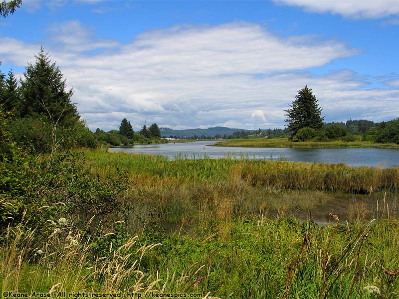
Location: Fort Clatsop National and State Historical Park Image: 38 of 147
Description: Lewis & Clark River
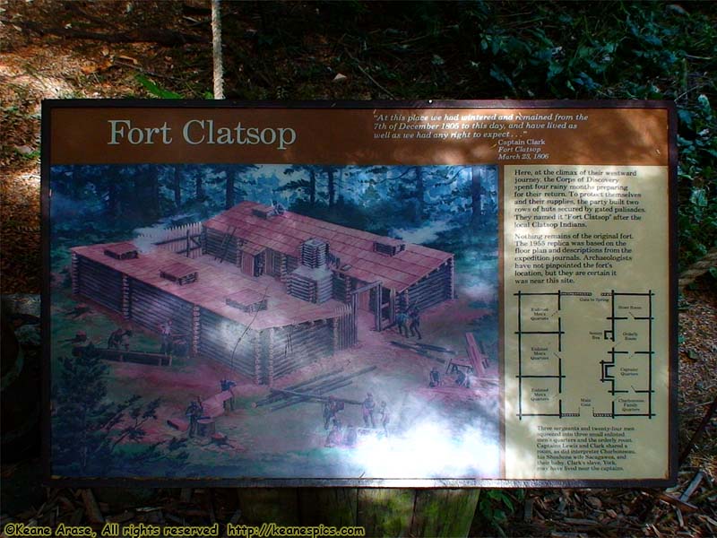
Location: Fort Clatsop National and State Historical Park Image: 39 of 147
Description: Fort Clatsop sign
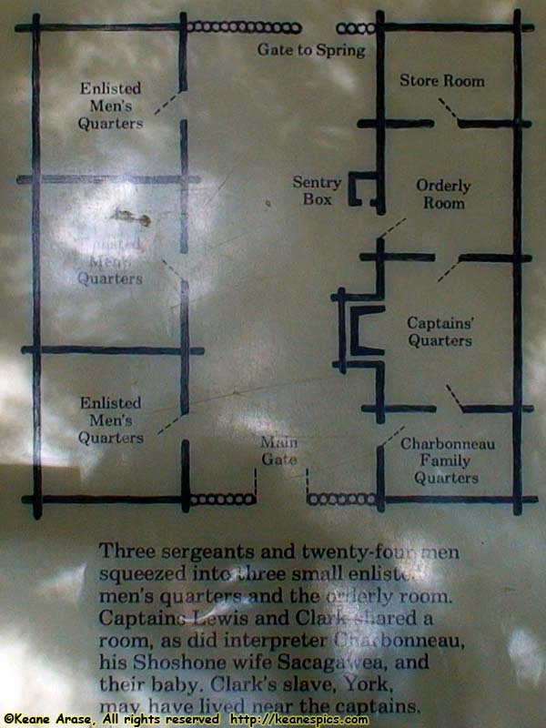
Location: Fort Clatsop National and State Historical Park Image: 40 of 147
Description: Floor plan of Fort

Location: Fort Clatsop National and State Historical Park Image: 41 of 147
Description: Fort Clatsop
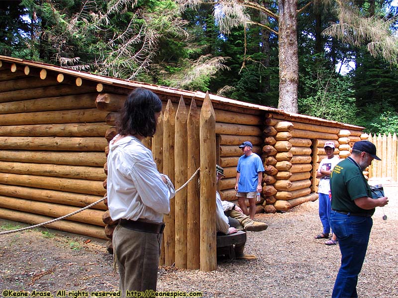
Location: Fort Clatsop National and State Historical Park Image: 42 of 147
Description: Fort Clatsop
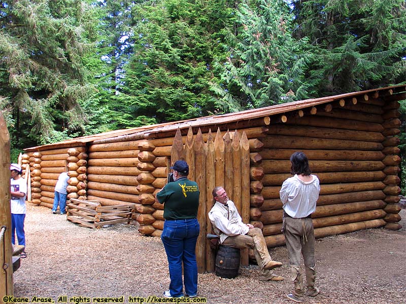
Location: Fort Clatsop National and State Historical Park Image: 43 of 147
Description: Fort Clatsop
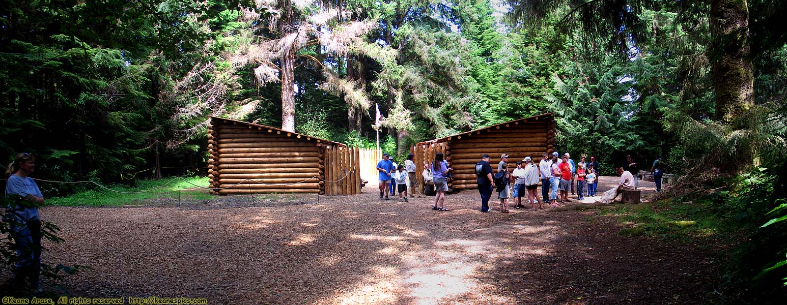
Location: Fort Clatsop National and State Historical Park Image: 44 of 147
Description: Fort Clatsop
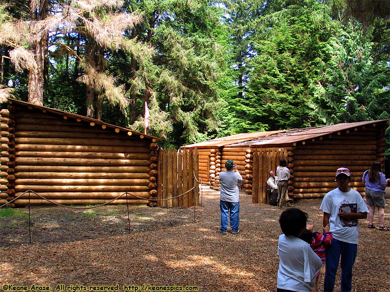
Location: Fort Clatsop National and State Historical Park Image: 45 of 147
Description: Fort Clatsop
Location: Fort Clatsop National and State Historical Park Image: 46 of 147
Description: Visitors Center sign
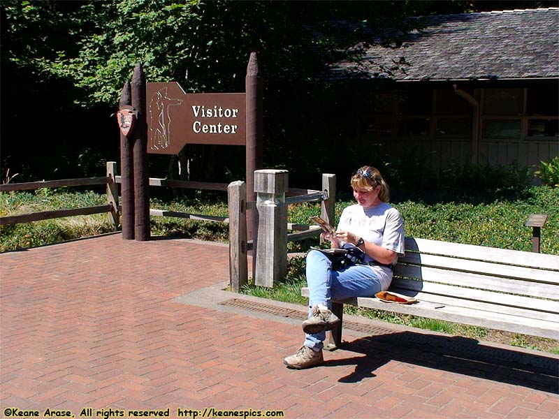
Location: Fort Clatsop National and State Historical Park Image: 47 of 147
Description: Visitors Center sign
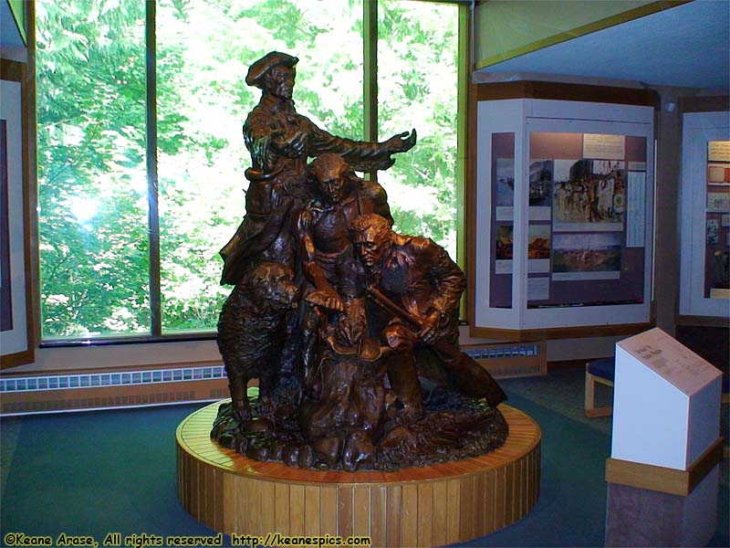
Location: Fort Clatsop National and State Historical Park Image: 48 of 147
Description: Lewis, Clark, York and Seaman
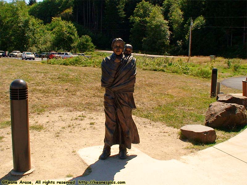
Location: Fort Clatsop National and State Historical Park Image: 49 of 147
Description: Sacagawea (and Pomp) Statue
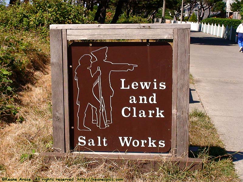
Location: Fort Clatsop National and State Historical Park Image: 50 of 147
Description: Saltworks Sign
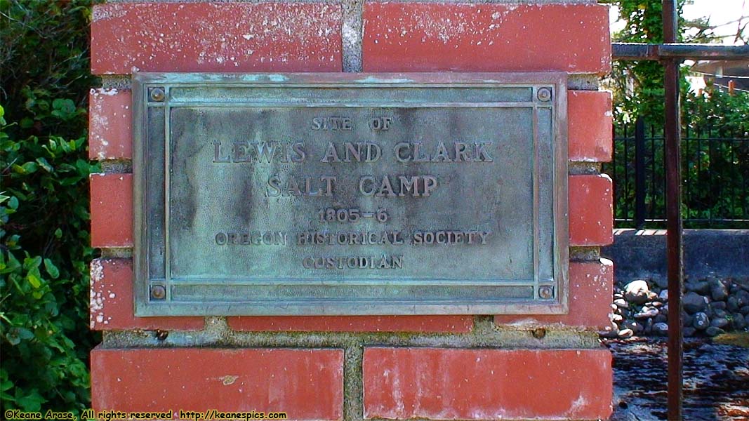
Location: Fort Clatsop National and State Historical Park Image: 51 of 147
Description: Site of Salt Works sign
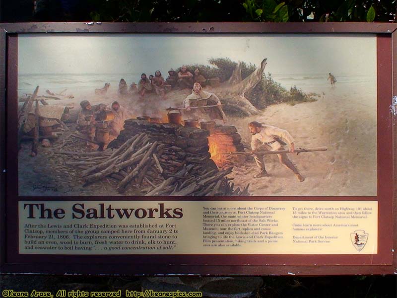
Location: Fort Clatsop National and State Historical Park Image: 52 of 147
Description: Saltworks Sign
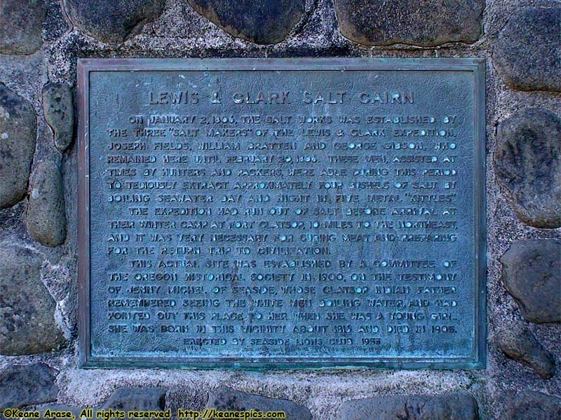
Location: Fort Clatsop National and State Historical Park Image: 53 of 147
Description: Lewis and Clark Salt Cairn sign
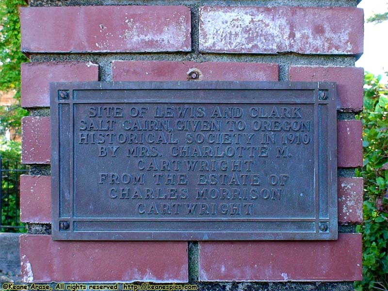
Location: Fort Clatsop National and State Historical Park Image: 54 of 147
Description: Site of Salt Works sign
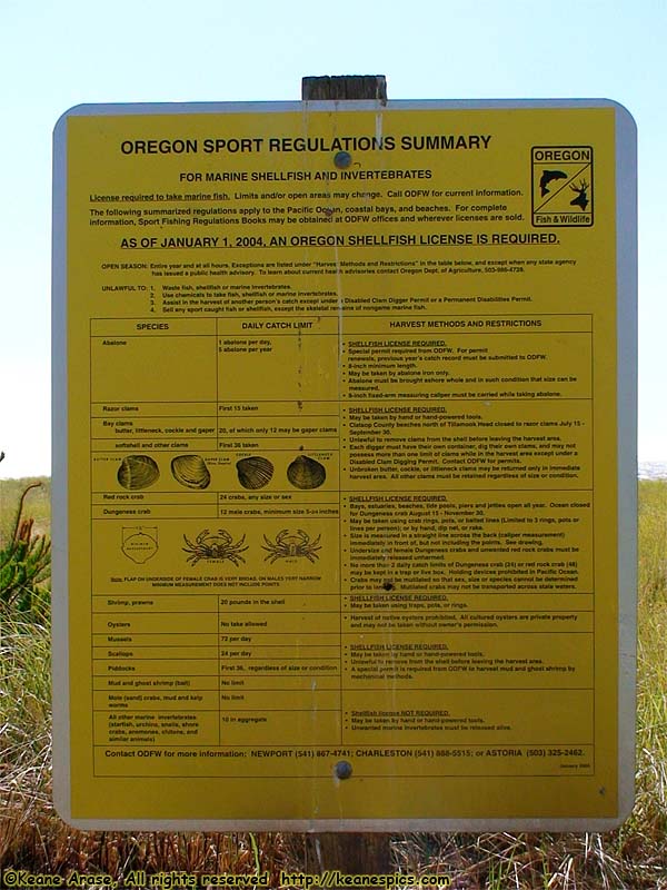
Location: Seaside, OR Image: 55 of 147
Description: Fishing Regs sign

Location: Seaside, OR Image: 56 of 147
Description: Pacific Ocean panoramic
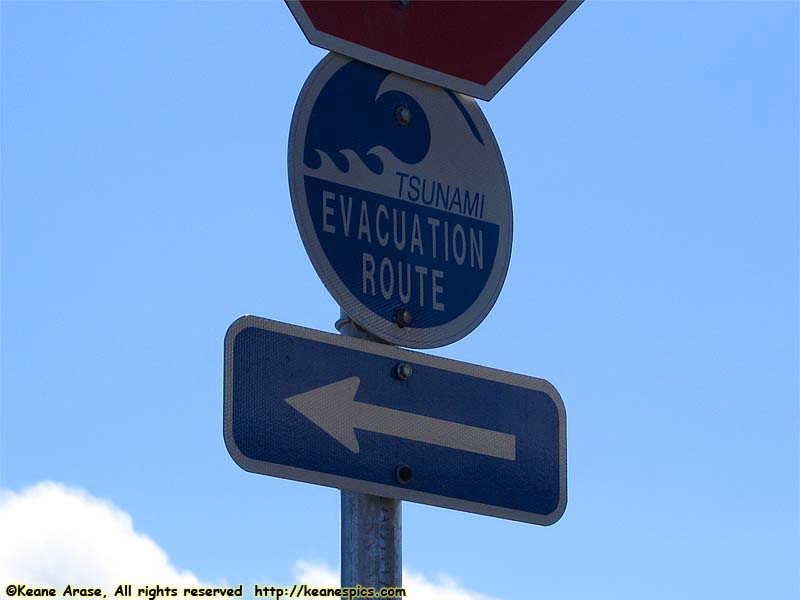
Location: Seaside, OR Image: 57 of 147
Description: Tsunami Evacuation Sign
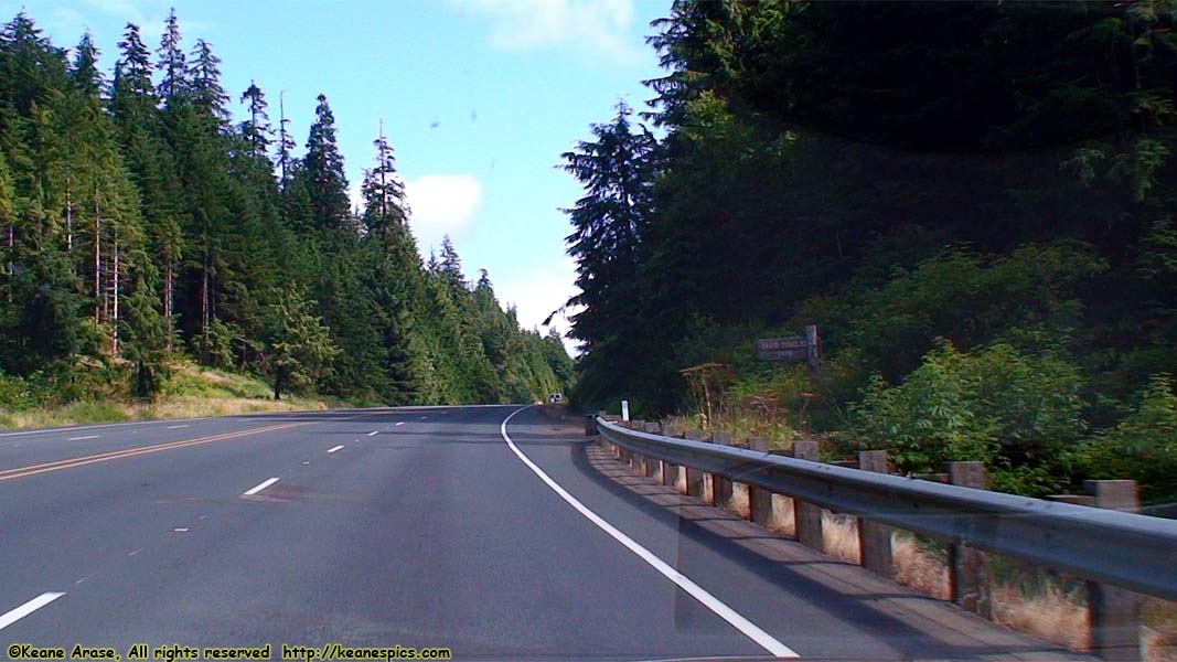
Location: US-26 Image: 58 of 147
Description: To Portland / I-84
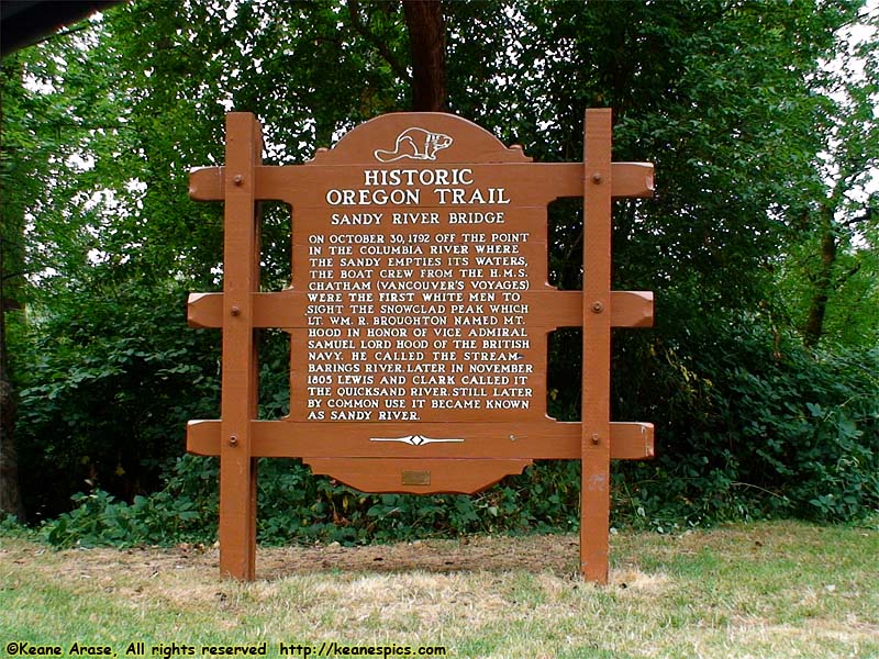
Location: Columbia River Gorge Image: 59 of 147
Description: Historic Oregon Trail
Location: Columbia River Gorge Image: 60 of 147
Description: National Scenic Area sign
Location: Columbia River Gorge Image: 61 of 147
Description: Portland Women's Forum sign
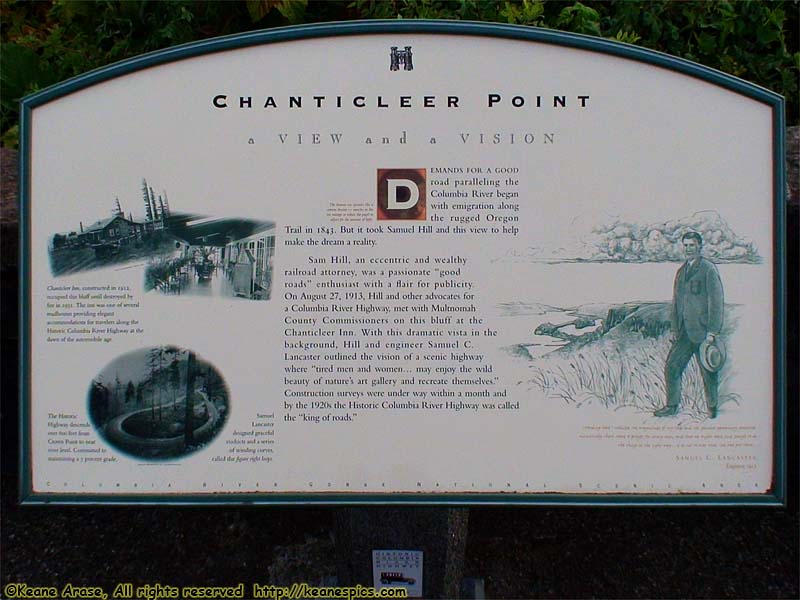
Location: Columbia River Gorge Image: 62 of 147
Description: Portland Women's Forum
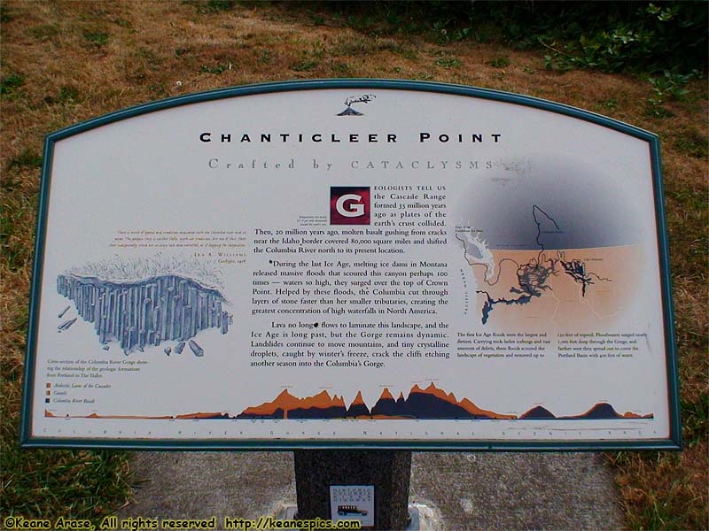
Location: Columbia River Gorge Image: 63 of 147
Description: Portland Women's Forum
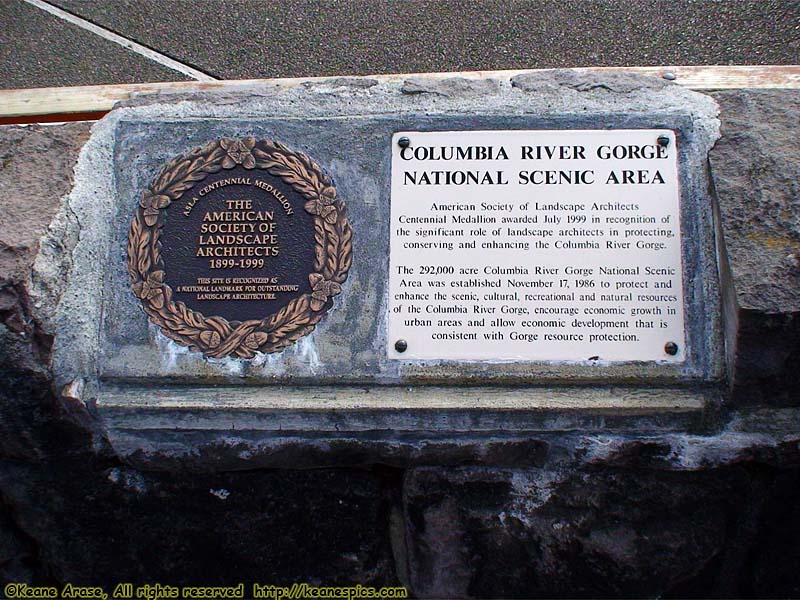
Location: Columbia River Gorge Image: 64 of 147
Description: Portland Women's Forum
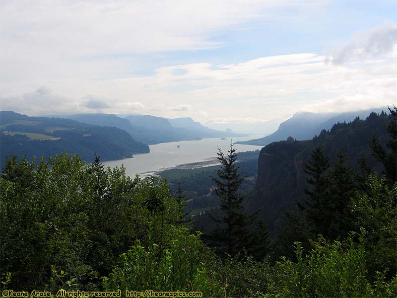
Location: Columbia River Gorge Image: 65 of 147
Description: Portland Women's Forum
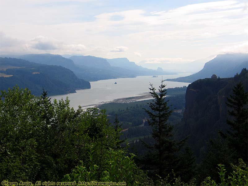
Location: Columbia River Gorge Image: 66 of 147
Description: Portland Women's Forum
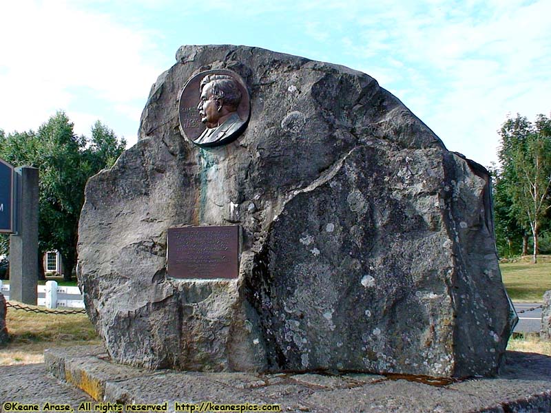
Location: Columbia River Gorge Image: 67 of 147
Description: Portland Women's Forum
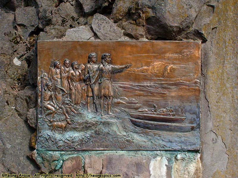
Location: Columbia River Gorge Image: 68 of 147
Description: Portland Women's Forum
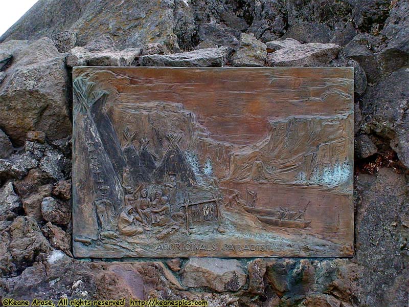
Location: Columbia River Gorge Image: 69 of 147
Description: Portland Women's Forum
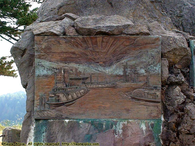
Location: Columbia River Gorge Image: 70 of 147
Description: Portland Women's Forum
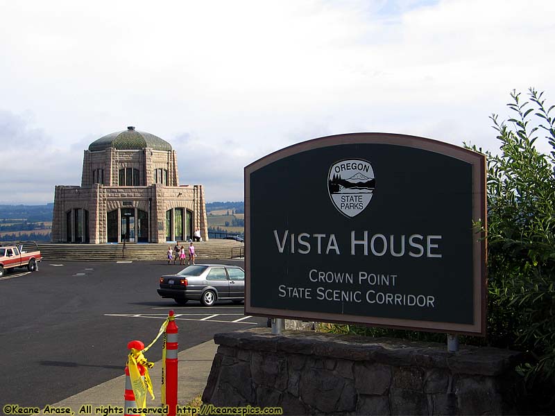
Location: Columbia River Gorge Image: 71 of 147
Description: Crown Point Vista House

Location: Columbia River Gorge Image: 72 of 147
Description: Crown Point Vista House
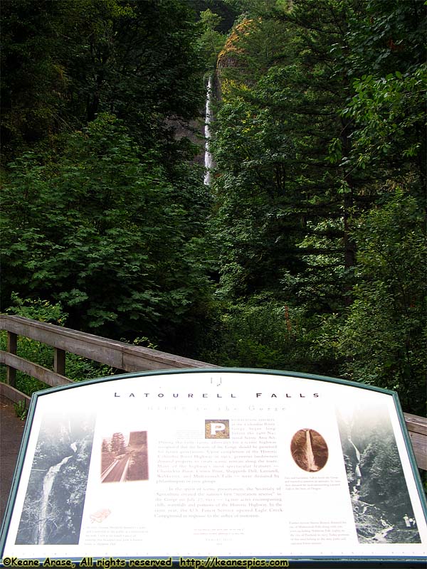
Location: Columbia River Gorge Image: 73 of 147
Description: Latourell Falls and sign
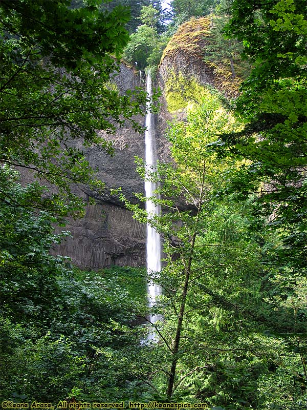
Location: Columbia River Gorge Image: 74 of 147
Description: Latourell Falls
Location: Columbia River Gorge Image: 75 of 147
Description: Bridal Veil Falls Entrance sign
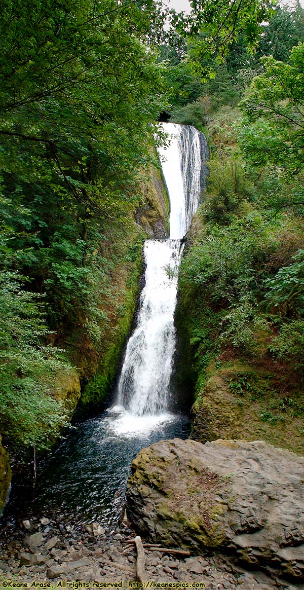
Location: Columbia River Gorge Image: 76 of 147
Description: Bridal Veil Falls
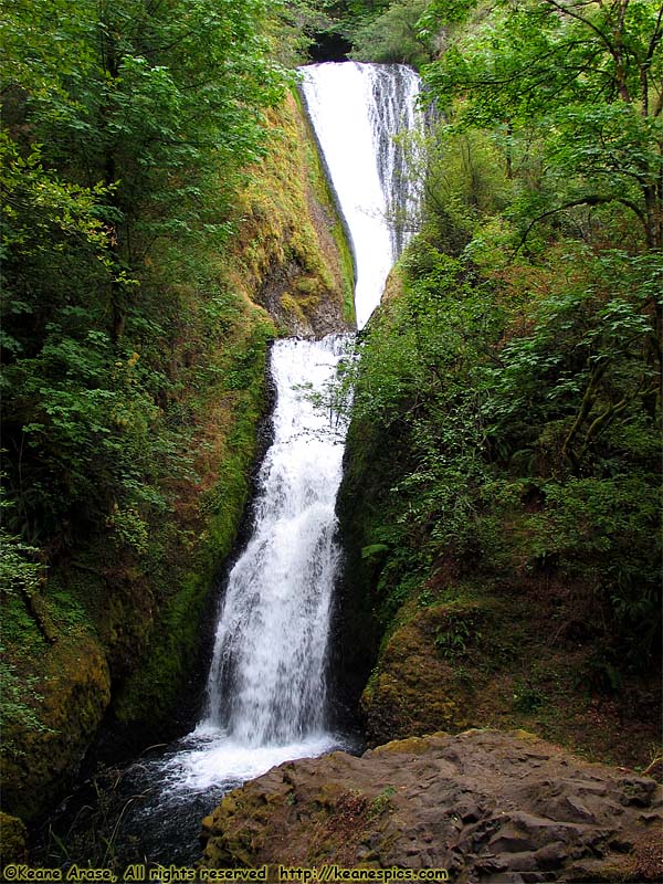
Location: Columbia River Gorge Image: 77 of 147
Description: Bridal Veil Falls
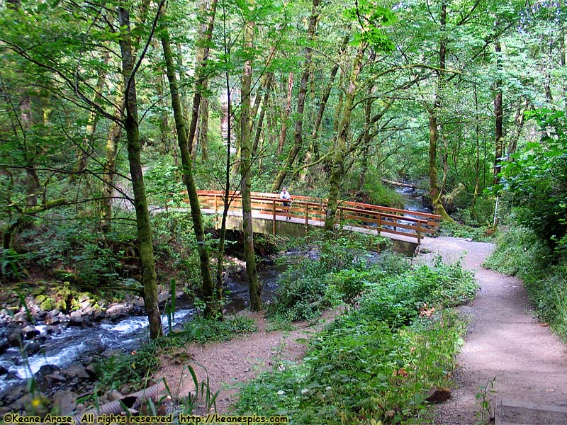
Location: Columbia River Gorge Image: 78 of 147
Description: Bridal Veil Falls
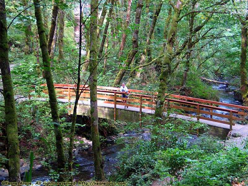
Location: Columbia River Gorge Image: 79 of 147
Description: Bridal Veil Falls
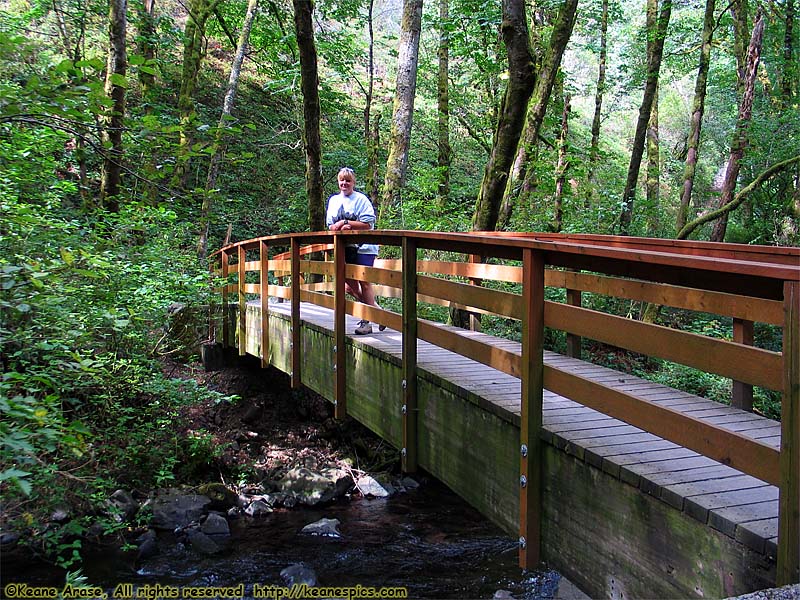
Location: Columbia River Gorge Image: 80 of 147
Description: Bridal Veil Falls
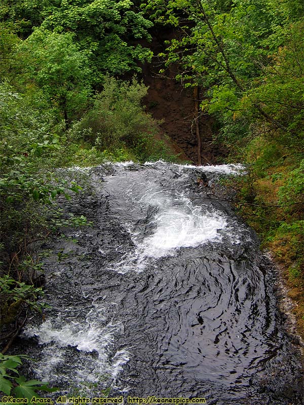
Location: Columbia River Gorge Image: 81 of 147
Description: Bridal Veil Falls
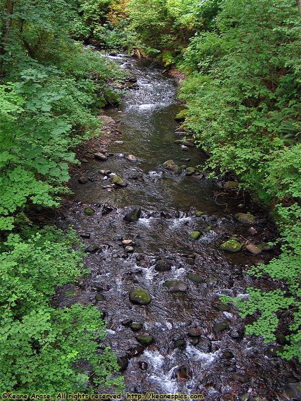
Location: Columbia River Gorge Image: 82 of 147
Description: Bridal Veil Falls
Location: Columbia River Gorge Image: 83 of 147
Description: Multnomah Falls Entrance Sign
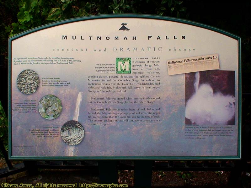
Location: Columbia River Gorge Image: 84 of 147
Description: Multnomah Falls sign
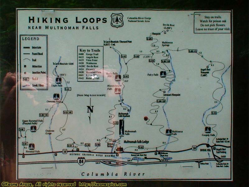
Location: Columbia River Gorge Image: 85 of 147
Description: Multnomah Falls sign
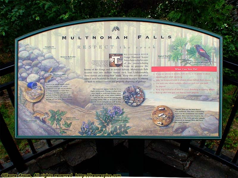
Location: Columbia River Gorge Image: 86 of 147
Description: Multnomah Falls sign
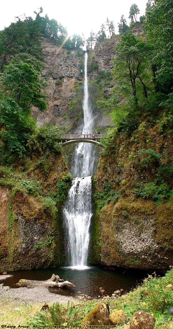
Location: Columbia River Gorge Image: 87 of 147
Description: Multnomah Falls
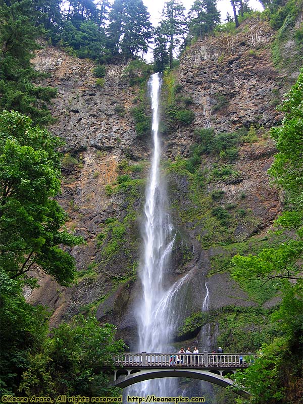
Location: Columbia River Gorge Image: 88 of 147
Description: Multnomah Falls
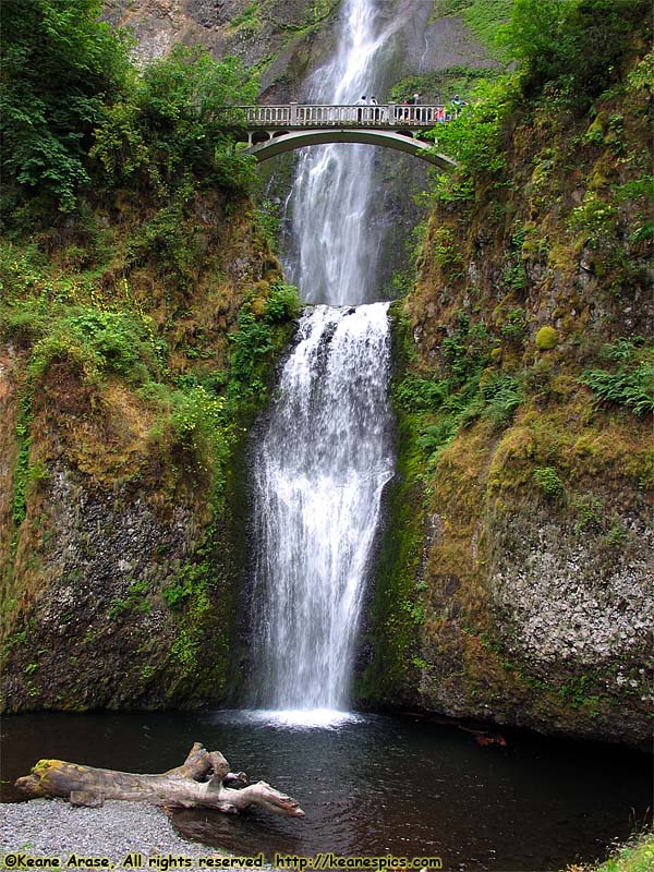
Location: Columbia River Gorge Image: 89 of 147
Description: Multnomah Falls
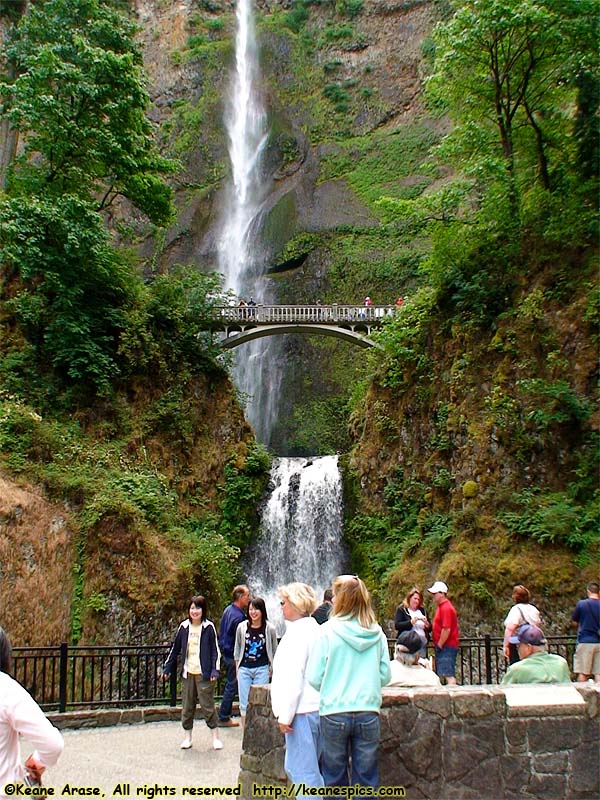
Location: Columbia River Gorge Image: 90 of 147
Description: Multnomah Falls
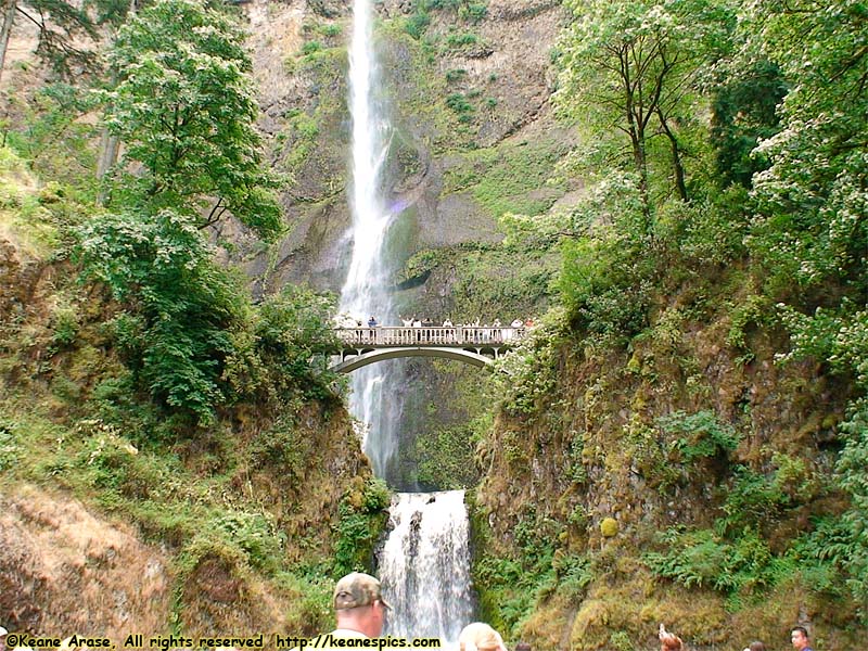
Location: Columbia River Gorge Image: 91 of 147
Description: Multnomah Falls
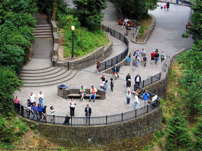
Location: Columbia River Gorge Image: 92 of 147
Description: Multnomah Falls
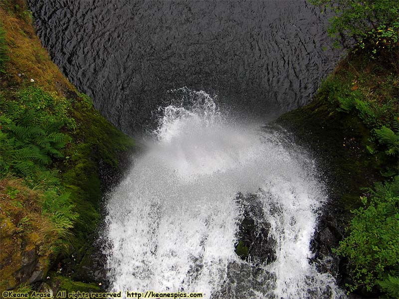
Location: Columbia River Gorge Image: 93 of 147
Description: Multnomah Falls
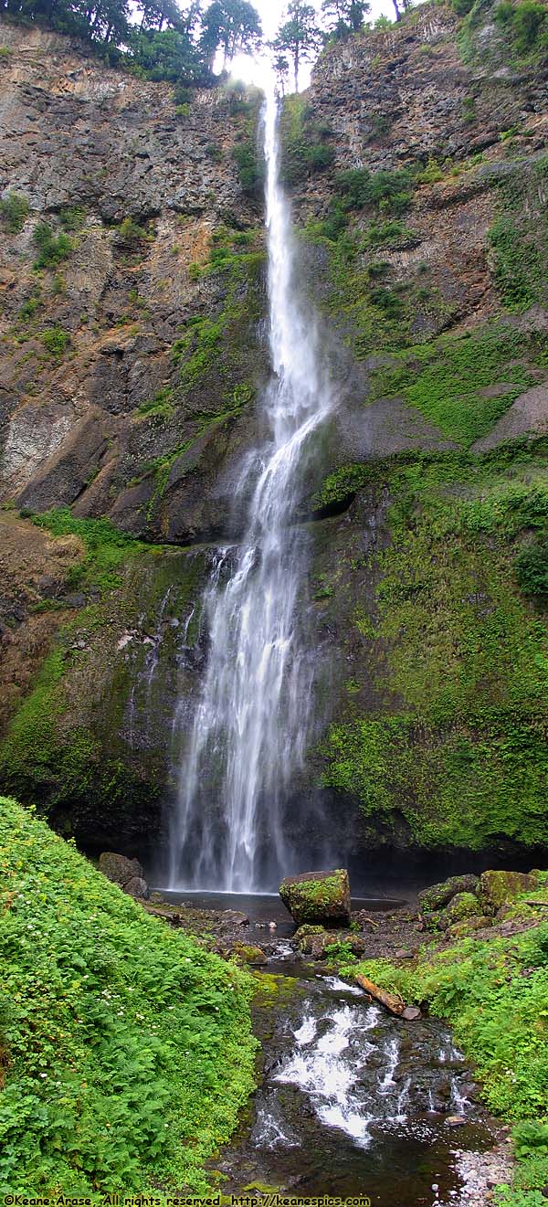
Location: Columbia River Gorge Image: 94 of 147
Description: Multnomah Falls
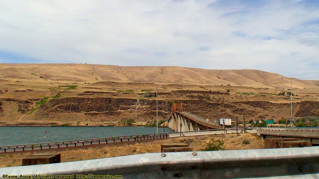
Location: Columbia River Gorge Image: 95 of 147
Description: Samhill Memorial Bridge
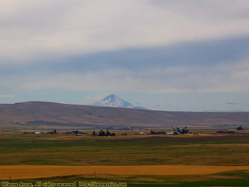
Location: US-97 (Goldendale, WA) Image: 96 of 147
Description: Mt. Hood
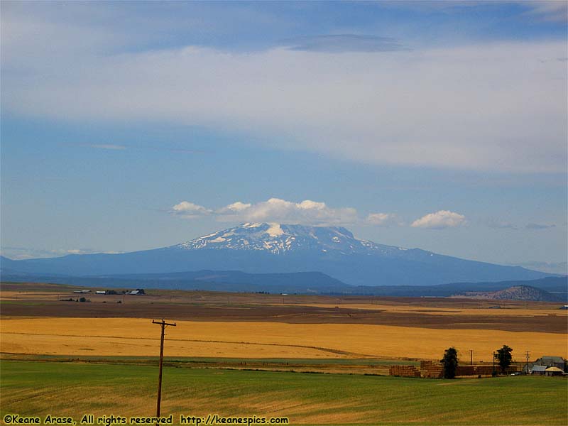
Location: US-97 (Goldendale, WA) Image: 97 of 147
Description: Mt. St. Helens

Location: US-97 (Goldendale, WA) Image: 98 of 147
Description: Mt. Hood *and* Mt. St. Helens
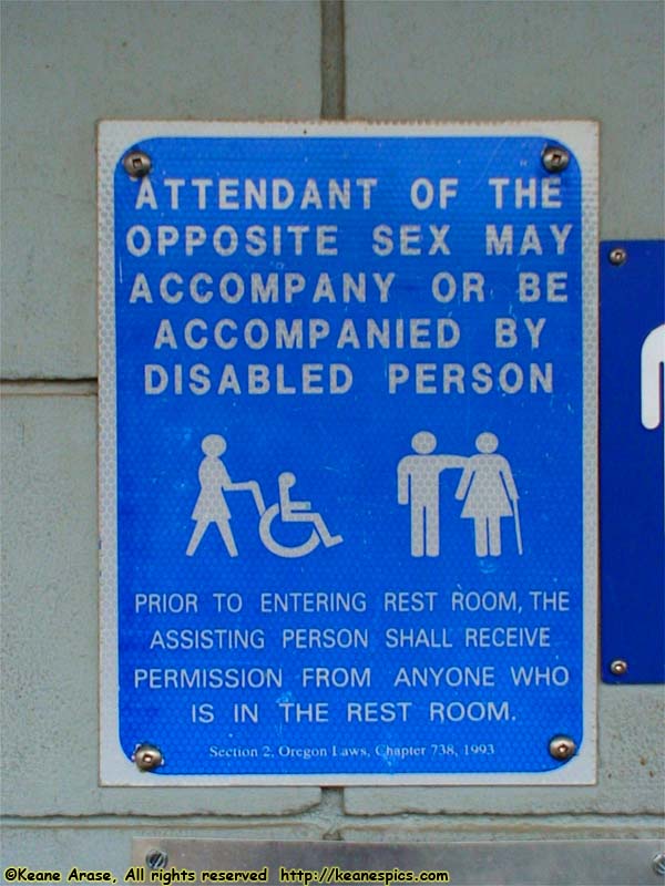
Location: Rest Area Image: 99 of 147
Description: Handicap warning sign
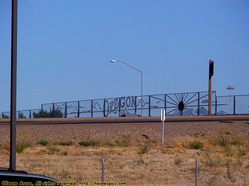
Location: Ontario, Oregon Image: 100 of 147
Description: Horatio Nelson Jackson was here
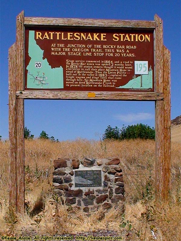
Location: US-20 / Oregon Trail Image: 101 of 147
Description: Rattlesnake Station / Oregon Trail marker
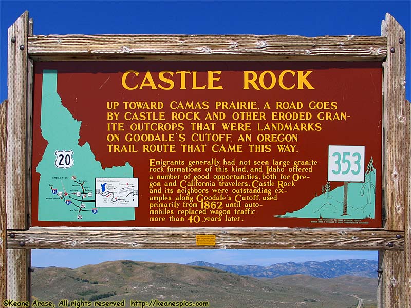
Location: US-20 / Oregon Trail Image: 102 of 147
Description: Castle Rock sign
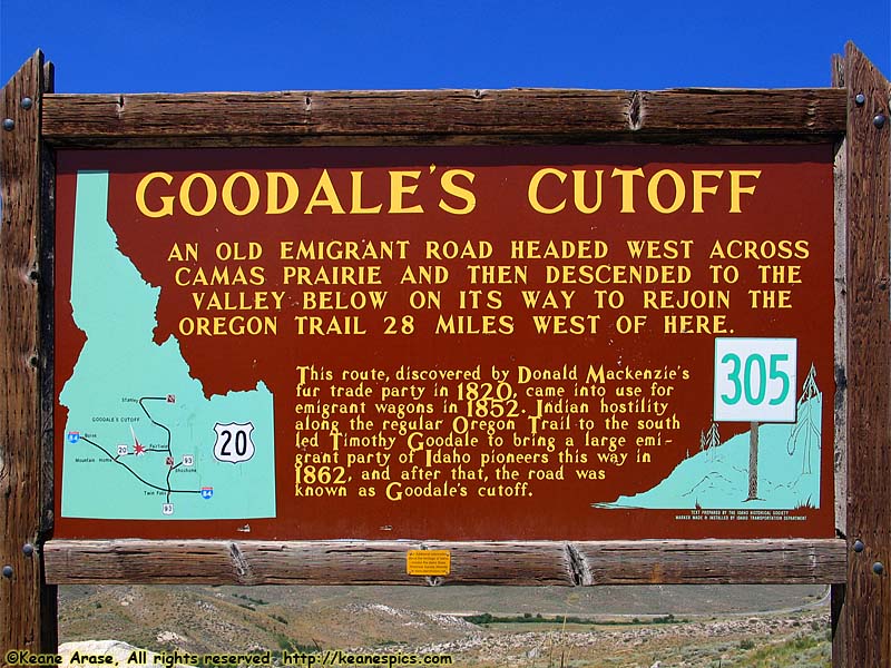
Location: US-20 / Oregon Trail Image: 103 of 147
Description: Gooddale's Cutoff sign

Location: US-20 / Oregon Trail Image: 104 of 147
Description: Gooddale's Cutoff
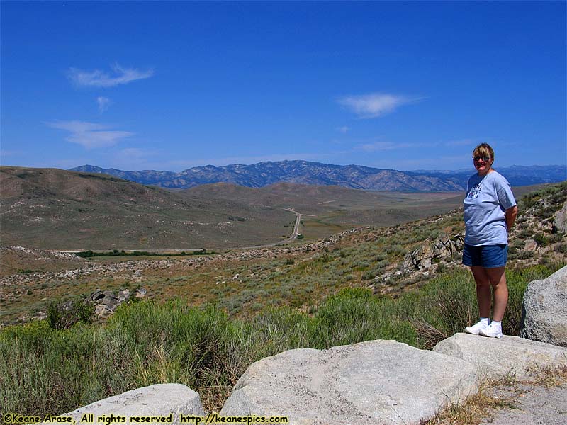
Location: US-20 / Oregon Trail Image: 105 of 147
Description: Gooddale's Cutoff
Location: US-20 / Oregon Trail Image: 106 of 147
Description: US / Idaho Flags
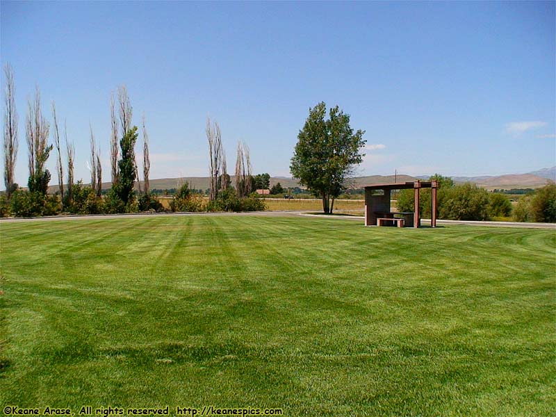
Location: US-20 / Oregon Trail Image: 107 of 147
Description: Timmerman Rest Area
Location: US-20 / Oregon Trail Image: 108 of 147
Description: Oregon Trail sign
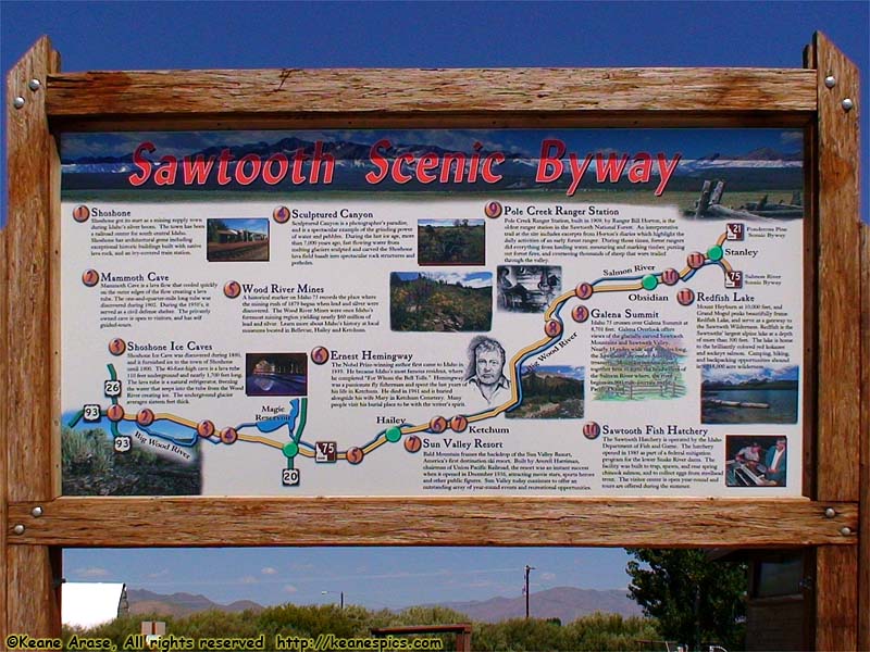
Location: US-20 / Oregon Trail Image: 109 of 147
Description: Sawtooth Scenic Byway sign
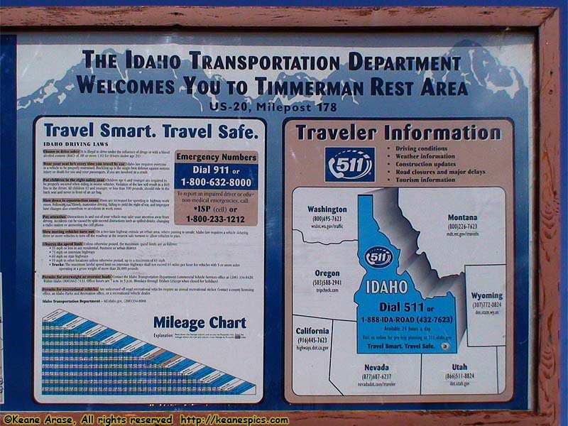
Location: US-20 / Oregon Trail Image: 110 of 147
Description: Idaho Transportation Department sign
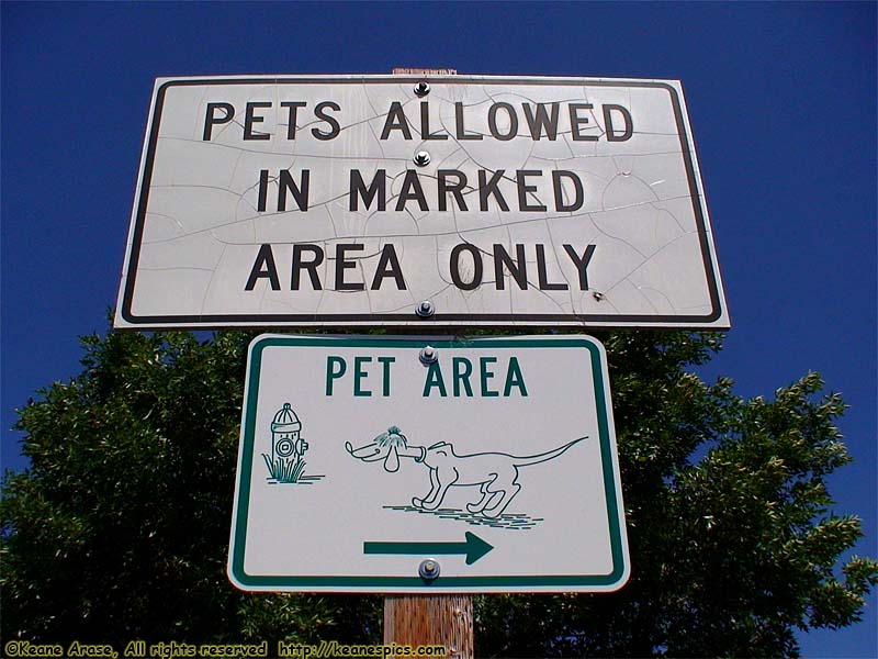
Location: US-20 / Oregon Trail Image: 111 of 147
Description: Pet sign
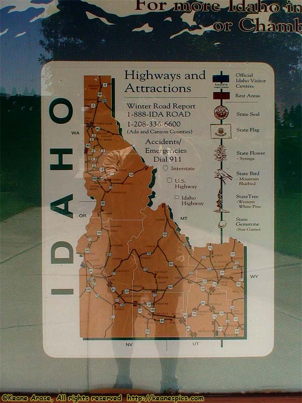
Location: US-20 / Oregon Trail Image: 112 of 147
Description: Idaho sign
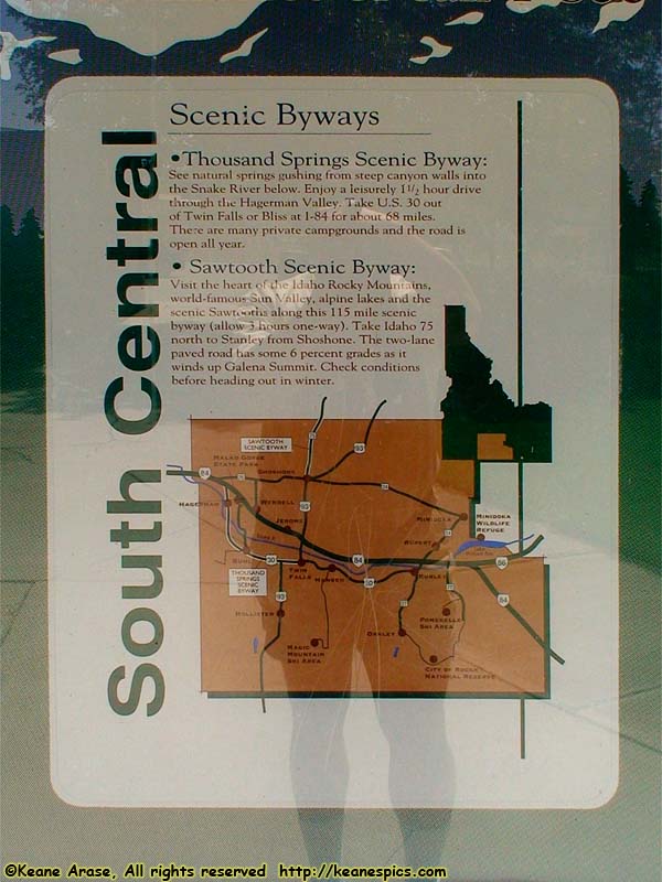
Location: US-20 / Oregon Trail Image: 113 of 147
Description: South Central Idaho sign
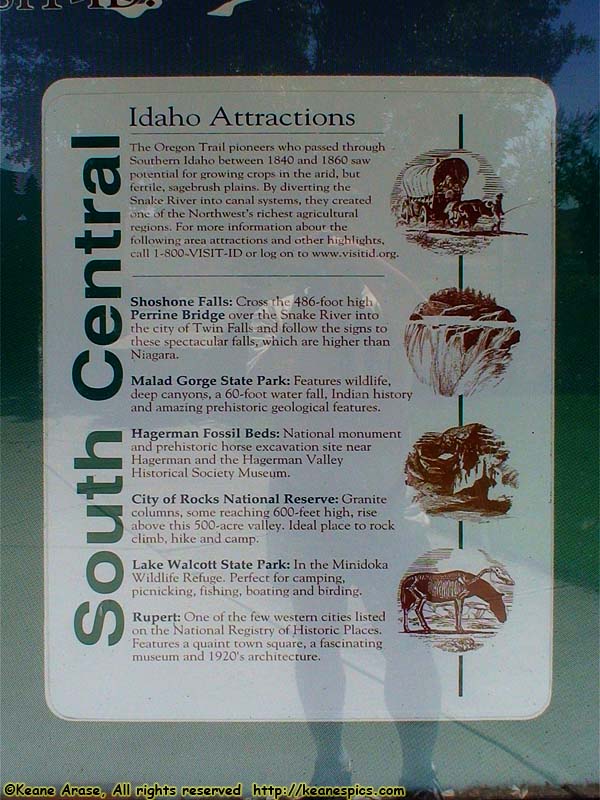
Location: US-20 / Oregon Trail Image: 114 of 147
Description: South Central Idaho sign
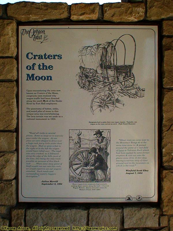
Location: US-20 / Oregon Trail Image: 115 of 147
Description: Craters of the Moon sign
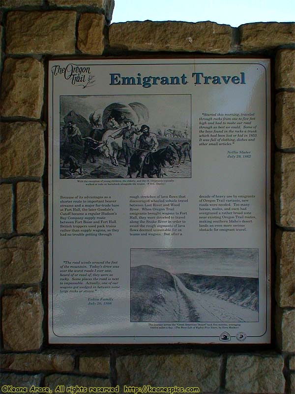
Location: US-20 / Oregon Trail Image: 116 of 147
Description: Emigrant Travel sign
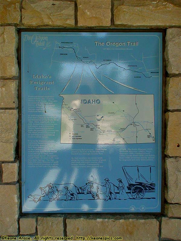
Location: US-20 / Oregon Trail Image: 117 of 147
Description: Oregon Trail sign
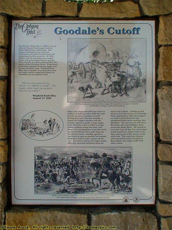
Location: US-20 / Oregon Trail Image: 118 of 147
Description: Gooddale's Cutoff sign
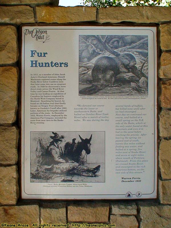
Location: US-20 / Oregon Trail Image: 119 of 147
Description: Fur Hunters sign
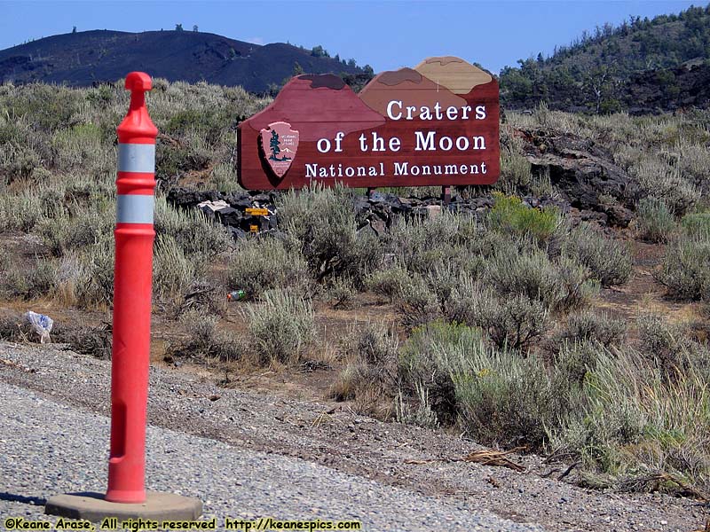
Location: Craters of the Moon National Monument Image: 120 of 147
Description: Entrance Sign
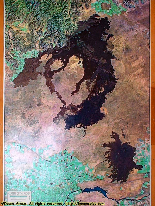
Location: Craters of the Moon National Monument Image: 121 of 147
Description: Satellite view

Location: Craters of the Moon National Monument Image: 122 of 147
Description: History sign
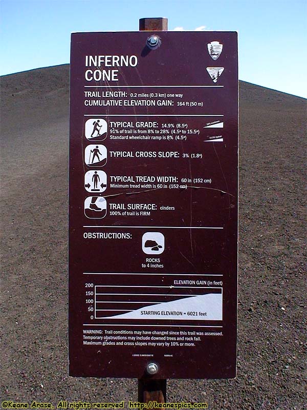
Location: Craters of the Moon National Monument Image: 123 of 147
Description: Inferno Cone sign
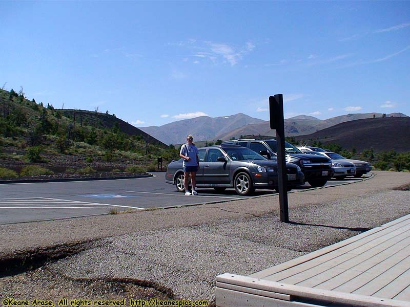
Location: Craters of the Moon National Monument Image: 124 of 147
Description: Inferno Cone parking area
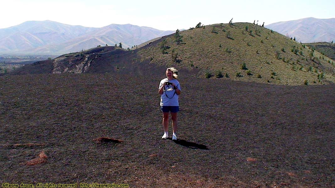
Location: Craters of the Moon National Monument Image: 125 of 147
Description: Inferno Cone
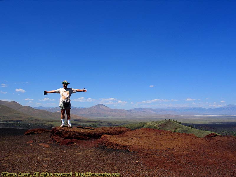
Location: Craters of the Moon National Monument Image: 126 of 147
Description: Inferno Cone

Location: Craters of the Moon National Monument Image: 127 of 147
Description: Inferno Cone
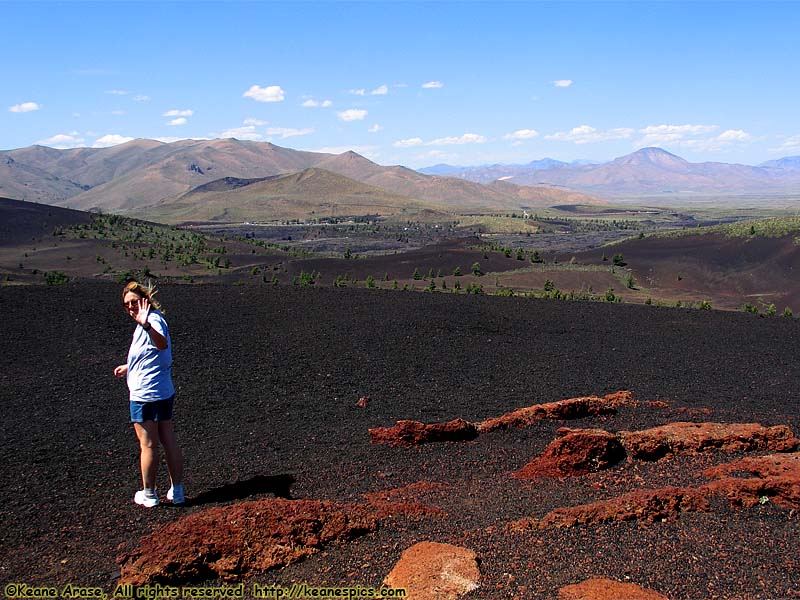
Location: Craters of the Moon National Monument Image: 128 of 147
Description: Inferno Cone
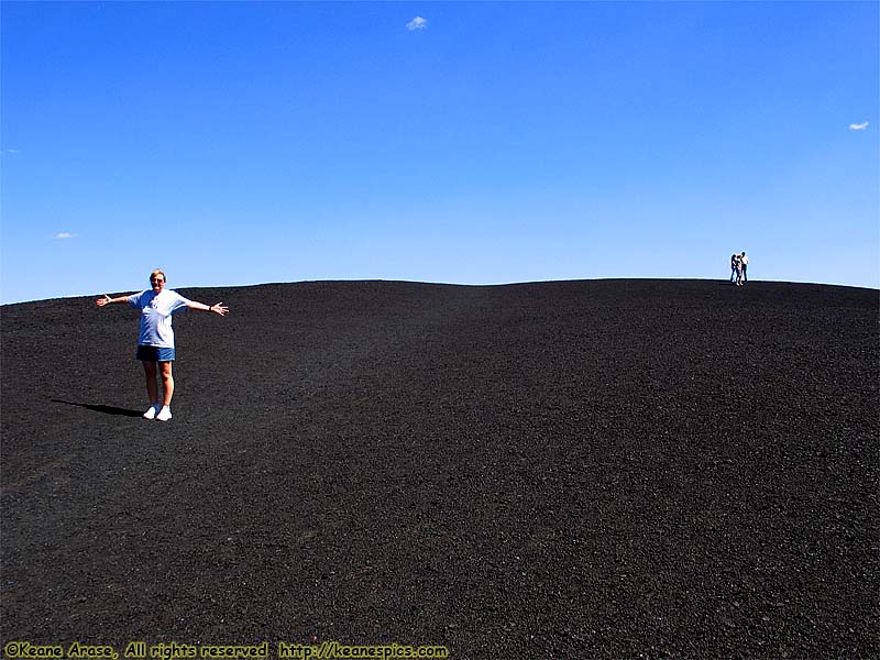
Location: Craters of the Moon National Monument Image: 129 of 147
Description: Inferno Cone
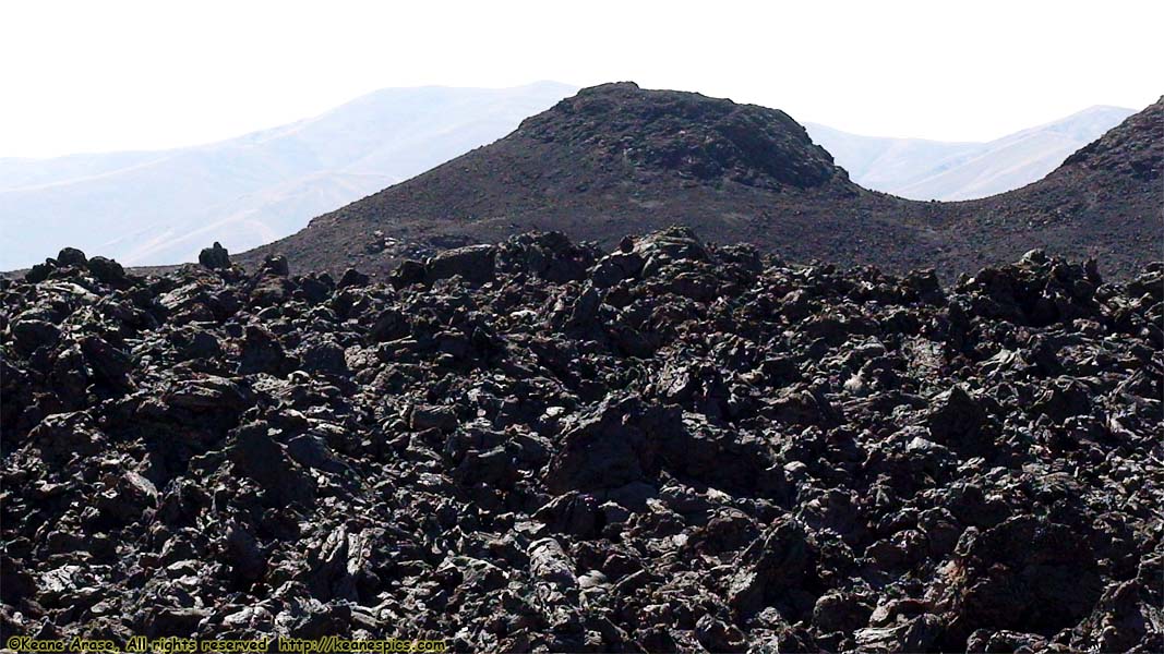
Location: Craters of the Moon National Monument Image: 130 of 147
Description: Lava Area

Location: Craters of the Moon National Monument Image: 131 of 147
Description: Lava Area
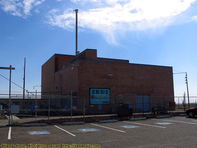
Location: Experimental Breeder Reactor 1 Image: 132 of 147
Description: EBR1
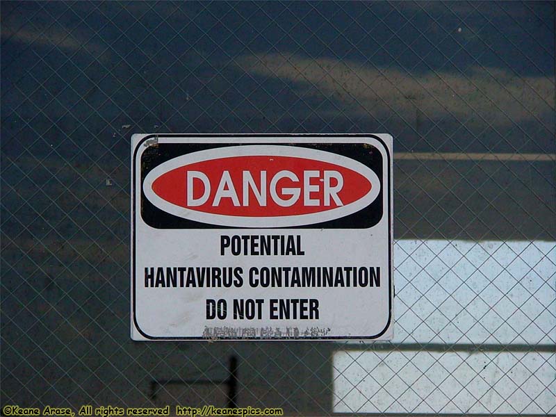
Location: Experimental Breeder Reactor 1 Image: 133 of 147
Description: Danger!
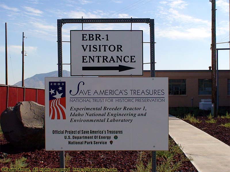
Location: Experimental Breeder Reactor 1 Image: 134 of 147
Description: Sign
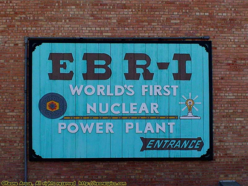
Location: Experimental Breeder Reactor 1 Image: 135 of 147
Description: EBR-1 Sign
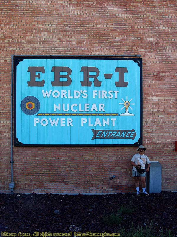
Location: Experimental Breeder Reactor 1 Image: 136 of 147
Description: EBR-1 Sign
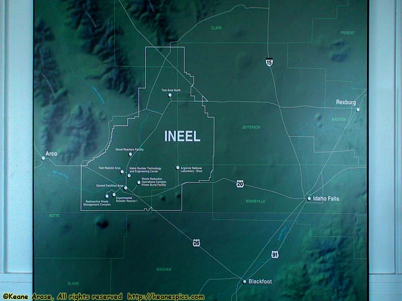
Location: Experimental Breeder Reactor 1 Image: 137 of 147
Description: INEEL map
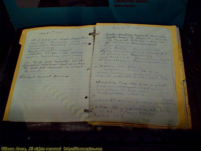
Location: Experimental Breeder Reactor 1 Image: 138 of 147
Description: Journal Entry
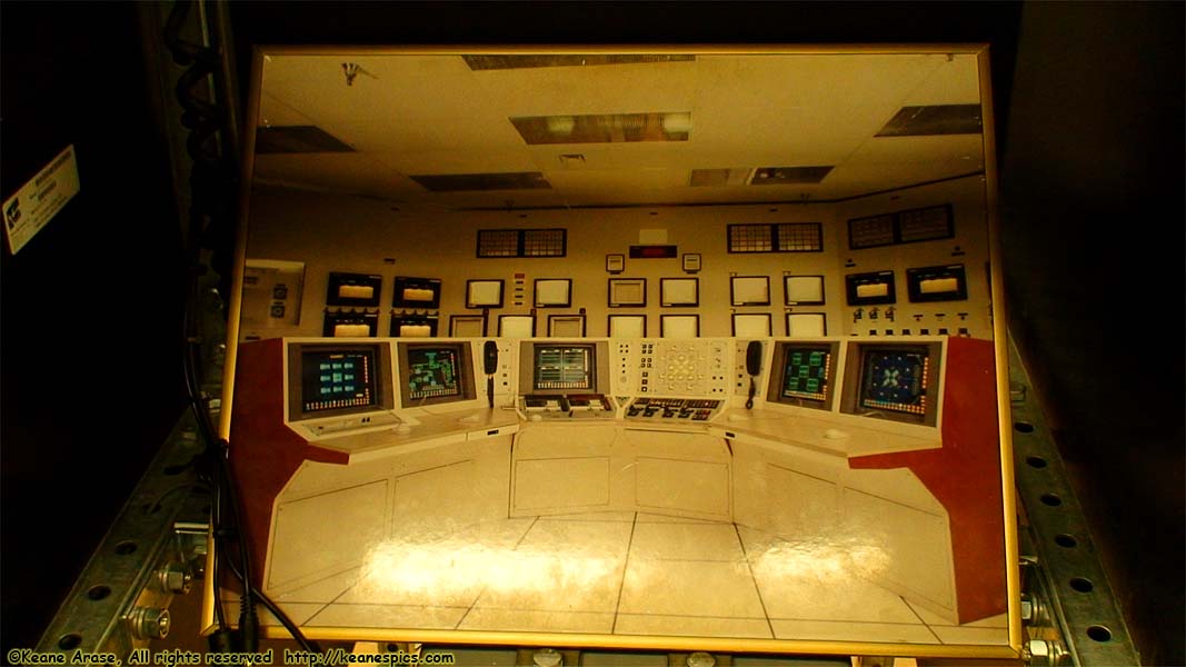
Location: Experimental Breeder Reactor 1 Image: 139 of 147
Description: Picture of old control center
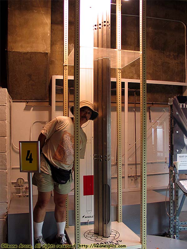
Location: Experimental Breeder Reactor 1 Image: 140 of 147
Description: Mark IV Core
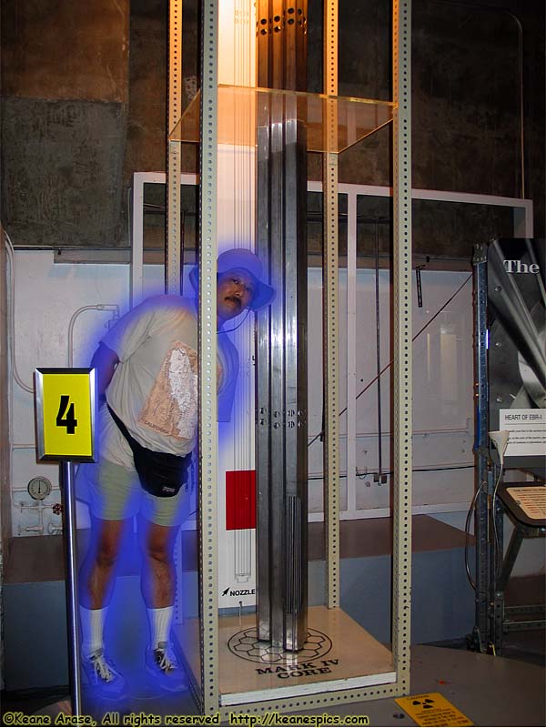
Location: Experimental Breeder Reactor 1 Image: 141 of 147
Description: Mark IV Core
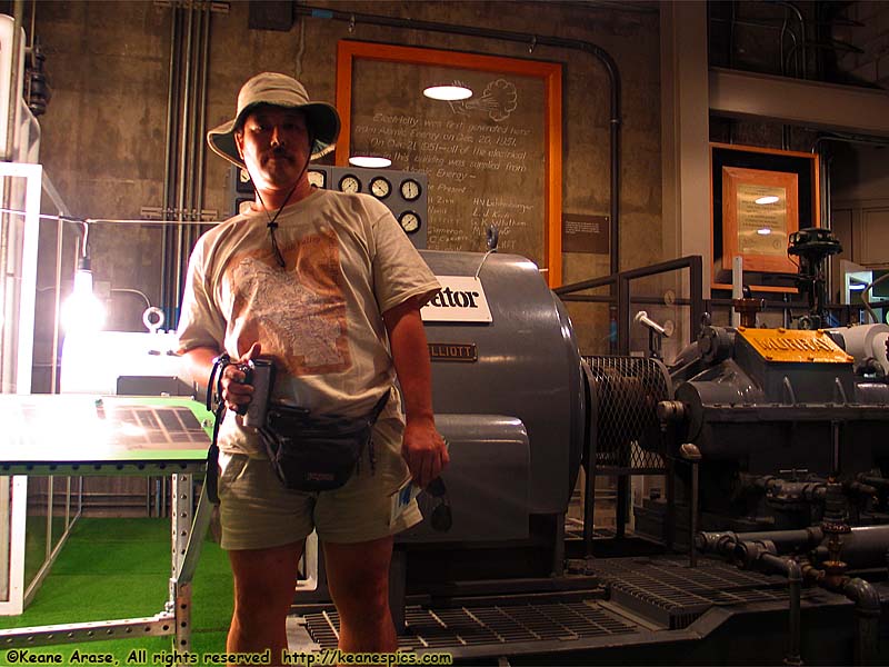
Location: Experimental Breeder Reactor 1 Image: 142 of 147
Description: Keane sees the light
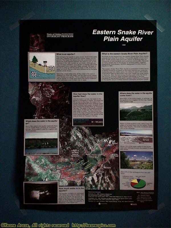
Location: Experimental Breeder Reactor 1 Image: 143 of 147
Description: Snake River Plain Aquifer sign
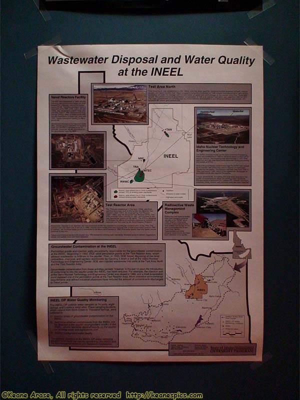
Location: Experimental Breeder Reactor 1 Image: 144 of 147
Description: Water Quality at INEEL sign
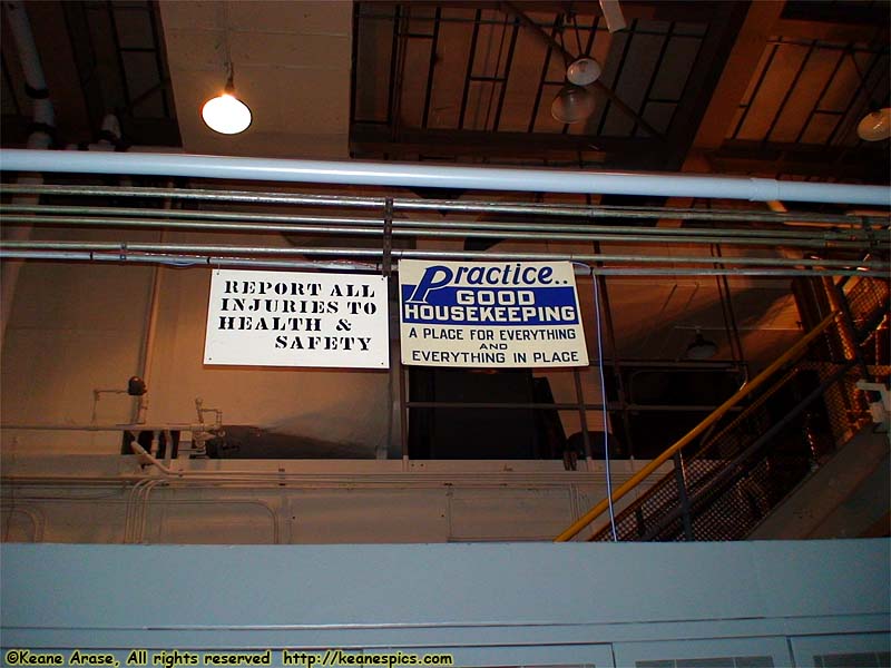
Location: Experimental Breeder Reactor 1 Image: 145 of 147
Description: Safety signs
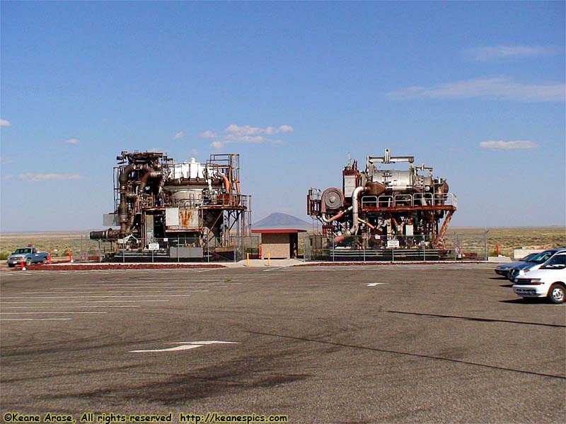
Location: Experimental Breeder Reactor 1 Image: 146 of 147
Description: Brochures call these 'Aircraft Nuclear Engine Prototypes'.
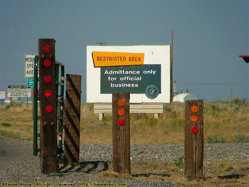
Location: Idaho National Engineering and Environmental Laboratory Image: 147 of 147
Description: Sign