
Zion National Park
| Introduction | Zion Canyon Scenic Drive | Riverside Walk |
| Mt. Carmel Highway / Canyon Overlook Trail | Kolob Canyons | Related Links |
|
| Click to go directly to the slideshow |
|
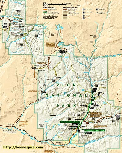
| Click for a much larger map |
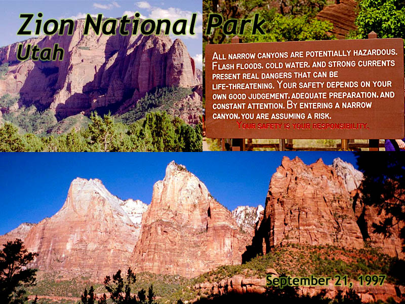
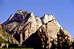
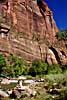
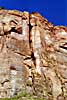
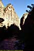
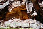
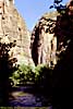
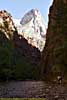
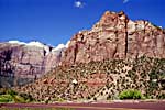
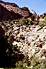
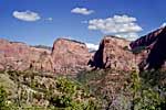
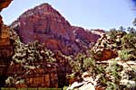
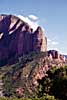
The Virgin River did its work over the past 13 million years, cutting a 2000 foot deep canyon through the park, creating the centerpiece of the park, Zion Canyon. There is a Scenic Drive that follows the river into the canyon until there isn't room in the canyon for both road and river.
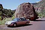
I will add that since I was there in 1997, Zion has become a victim of its own success. Or maybe it's a victim of the popularity of the Travel Channel. I'm not sure. In any event, I believe during the tourist season, the Scenic Drive is only scenic from a shuttle bus. So you'll need to plan ahead on what you need to bring from the car, such as water, meds, hats, snacks, cameras, batteries, memories cards, etc. These images are from a post-Labor Day trip a couple of decades ago, so the park looks relatively empty...
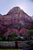
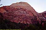
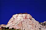
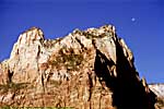
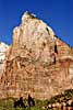
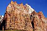
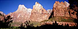
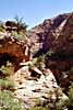
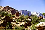
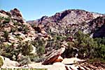
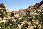
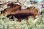
Along Zion Canyon Scenic Drive
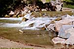
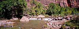
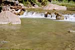
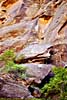
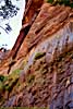
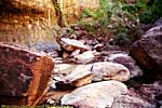
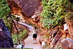
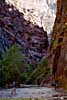
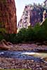
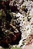
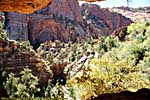
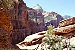
Riverside Walk
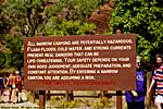
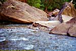
At the end of the Scenic Drive is a narrow Riverside Walk, which continues to follow the river until there isn't room in the canyon for both river and walk. Beyond this, you must hike through the river itself to "The Narrows", and ultimately, the other side of Zion Canyon.With little to absorb water in the red rock desert, flash flooding here is a problem. It could be raining miles away, with no rain or even sunny in your location, and you could still be caught in a debris flow which will certainly kill you if you can't get out of the way. I came across some truly awe inspiring video of a flash flood through the Narrows on UTube, and why you should check in at the Visitors Center: Zion Flash Flood
However, it was peaceful and sunny the day I was there, and the canyon is truly one of the awe-inspiring sights of Southern Utah. No, I had no desire to climb a mountain or trek down a river (and besides, my 1997 trip was planned by a novice road tripper, and didn't provide the time), but did go all the way to the end of the Riverside Walk...
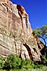
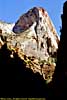
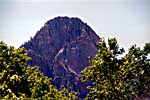
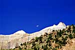
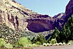
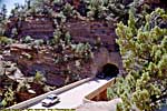
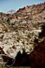
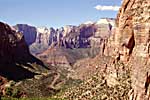
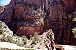
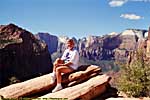
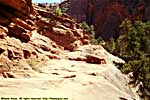
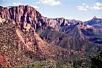
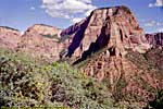
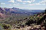
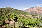
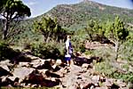
Mt. Carmel Highway / Canyon Overlook Trail
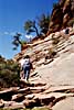
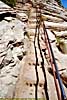
Utah-9 is the road that starts at I-15 and ends at US-89, making it the access road of sorts for Zion. East of the Zion Canyon Scenic Drive is the Zion-Mount Carmel Highway (because it goes from Zion to Mount Carmel Junction at US-89), which climbs out of the valley floor to rim level. Just past the switchbacks and a tunnel, is the Canyon Overlook Trail, which overlooks part of Zion Canyon. Most of the pics of on the trail were taken by Jo, my height phobia failed me along a narrow wooden walkway. I think I could do it today... :-)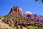
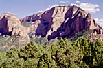
Kolob Canyons
While the main part of the park is off of Utah-9 in the Southern End of Zion, Kolob Canyons is in the Northwest part of the park off of I-15.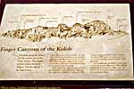
Related Links
| US-89 | |
|---|---|
|
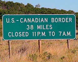
US-89 is a remarkable road that follows some of the most scenic areas of the West from Canada to Arizona, and along the way passes through (or comes within a few miles of) over a half dozen major Western Parks. Glacier to Yellowstone to Grand Teton, Bryce, Zion, Glen Canyon and Grand Canyon. I've actually frequented this road quite a bit, but in a disjointed, non-continuous fashion. |
| Visited Various | |
| Grand Staircase-Escalante National Monument | |
|---|---|
|
Grand Staircase-Escalante National Monument
is actually larger than the state of Delaware, but has a population close
to the number of visitors in the park. |
| Near Escalante, Utah / 33 Images Visited Sept 1997, Sep 2008. | |
Zion Trip Report: Sep 1997.
| Return to: | State Index | Utah State Page | National Parks |
|---|
- 04/30/2016 - Initial deployment
- April 2017 - Upgrade to v3.4.
- August 2022 - Upgrade to v5.0.
| Help! | About This Site | Contact Me |