
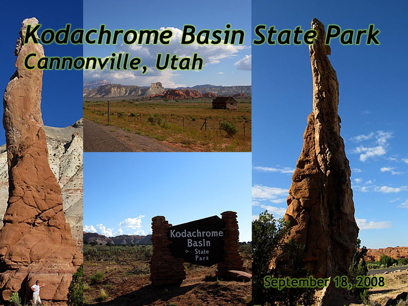
Kodachrome Basin State Park, Utah
| Introduction | Kodachrome Basin State Park | Cottonwood Road | Related Links |
|
| Click to go directly to the slideshow |
I've become a much better planner since then. :-)
In my 2008 return to the area, I would take two days to do only Route-12 and the attractions on it. That included a stop in Kodachrome Basin, one of five Utah State Parks I would visit that year.
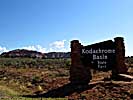
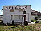
The park is near the city of Cannonville, where it is said the residents referred to the city as Gun Shot, since it was too small to qualify as a cannon. I cannot confirm nor deny this fact...
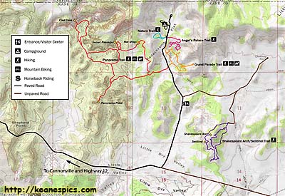
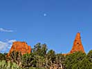
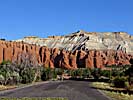
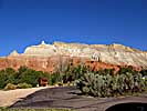
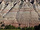
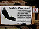
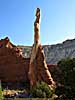
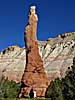
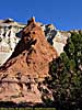
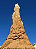
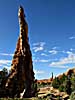
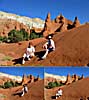
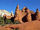
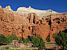
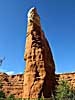
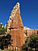
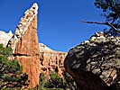
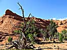
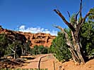
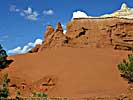
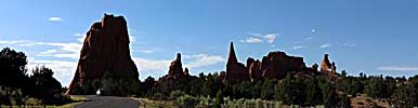
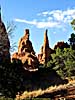
Kodachrome Basin State Park
|
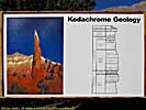
| This map was downloaded from the Kodachrome Basin State Park site. |
It's interesting to note that the park has now outlived the slide film, and will possibly outlive Kodak itself. I'll bet the next generation will grow up without even knowing the origin of the park's name, even though there's a Paul Simon tune with the same name.
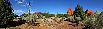
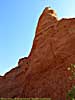
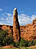
Oh, and if I ever put together that "Dirty Mother Nature" page, a couple of formations here will definitely make the list...
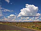
Cottonwood Road is the access road from Utah-12 to the Park. On the maps, this road cuts all the way across Grand Staircase-Escalante National Monument, emerging onto US-89 on the South side of the monument, but I would definitely check road conditions before doing the drive.
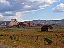
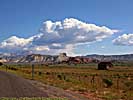
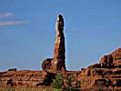
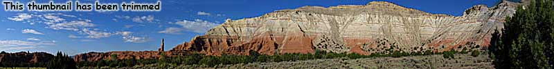
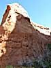
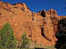
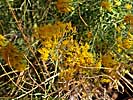
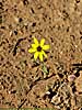
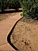
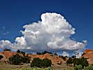
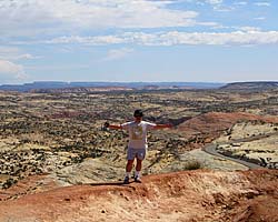
Kodachrome Basin was a nice surprise of a park, very picturesque, which some amazing rock formations. It's pretty much in the middle of nowhere, and there isn't even any cell phone service. But I do think it's a must stop if you're touring Utah-12...
Related Links
| Utah State Route 12 | |
|---|---|
|
Utah State Route 12 (also named as the
"Journey Through Time Byway") is my favorite road in America.
The 124 mile road starts at a unnamed junction with US-89 and ends in Torrey, Utah, pretty much connecting Bryce Canyon to Capitol Reef National Park. In-between are a couple of those spectacular Utah State Parks, a National Monument and some jaw-dropping landscapes just off the side of the road. |
| Utah / 67 Images. Visited Sep 1997, Sep 2008. | |
Trip Report: Sep 2008.
| Return to: | State Index | Utah State Page | State Parks |
|---|
- 04/30/2016 - Initial deployment
- April 2017 - Upgrade to v3.4.
- August 2022 - Upgrade to v5.0.
| Help! | About This Site | Contact Me |