
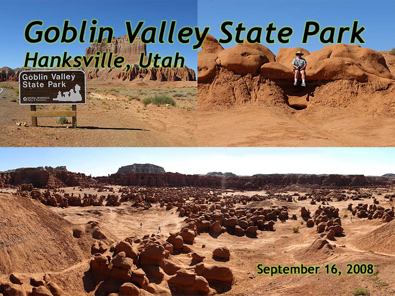
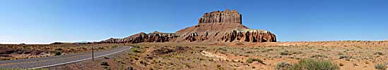
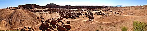
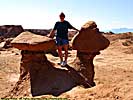
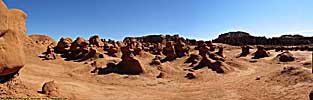
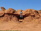
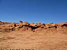
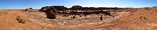
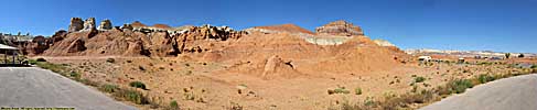
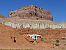
Goblin Valley State Park, Utah
|
| Click to go directly to the slideshow< |
|
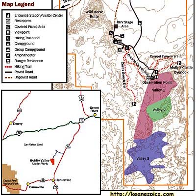
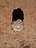
| Click on the map for a larger view. |
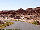
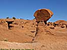
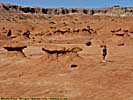
Goblin Valley does have a claim to fame, it was featured in the movie, "Galaxy Quest", the place where the crew goes to get the Beryllium Sphere and comes up against the rock creature. I didn't see any aliens when I was there. But you never know, there are a lot of places to hide...
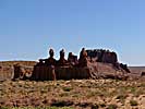
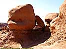
More recently, two scout masters decided one of the rocks was precariously balanced, and pushed it over declaring they had improved public safety, posted it to Facebook, and were deservedly arrested and prosecuted for being outstandingly stupid.
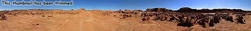
Other than that, it's said that Goblin Valley is one of the most lightless places in the US (and by that, I mean it is far from any light pollution like streetlights), and is supposed to be amazing at night. The day I was at Goblin Valley, however, I spent the night in a very nice hotel room in Torrey looking at a full moon, which killed any chance of real star gazing...
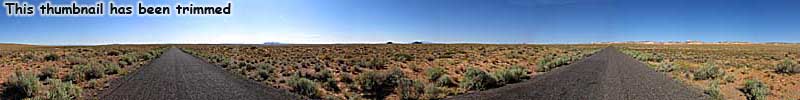
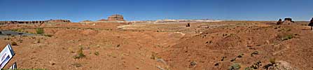
Interestingly, I knew this place existed in 1997 when I first drove Utah-24, but Temple Mount Road (the access road to Goblin Valley) was unpaved. The road was nicely paved in 2008 when I visited the park, and it's said that the money the park got from allowing Galaxy Quest to be filmed there, went to paving the road. Good deal...
Related Links
| Utah State Route 24 | |
|---|---|
|
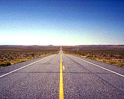
Utah State Route 24 was the southern detour around the
San Rafael Swell for 35 years before I-70 opened through the wilderness.
Today, it's still the way to get to Goblin Valley State Park, Capitol Reef National Park and the Waterpocket Fold. It is also one of the endpoints of Utah-12, a road everyone should drive at least once... |
| Utah / 35 Images. Visited Sep 1997, Sep 2008. | |
Goblin Valley Trip Report: Sep 2008.
| Return to: | State Index | Utah State Page | State Parks |
|---|
- 04/30/2016 - Initial deployment
- April 2017 - Upgrade to v3.4.
| Help! | About This Site | Contact Me |