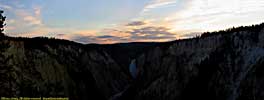
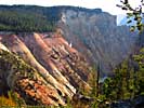
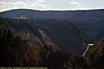
Yellowstone National Park, Part 3
Yellowstone has been split into three pages, separated by Grand Loop Road segments. See below.
|
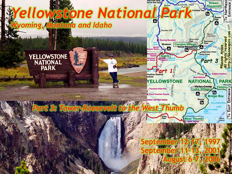
| Yellowstone Part 3. Tower-Roosevelt to Canyon to West Thumb. Click to go directly to the slideshow. |
Part 3 of Yellowstone follows the Grand Loop Road from Tower-Roosevelt in the Northeast to West Thumb.
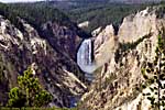
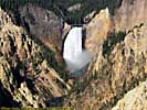
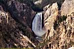
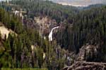
Major sights along the way includes Tower Falls, the Upper and Lower Falls, the start of the Grand Canyon of the Yellowstone, and Fishing Bridge.
|
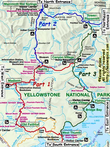
| Cropped map of the Grand Loop to show waypoints which define road segments. Click on the map for a larger view. This map was downloaded from the NPS site. |
Tower-Roosevelt to Canyon
Calcite Springs / Overhanging Rock

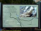
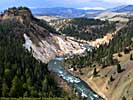

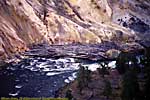


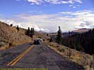
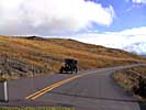
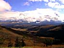
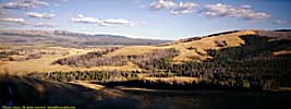


Along the Grand Loop Road / Dunraven Pass
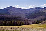
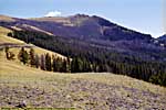
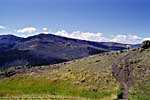
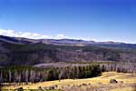
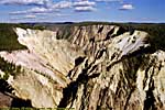
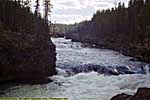
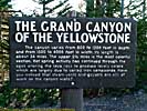
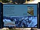
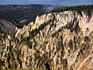
Grand Canyon of the Yellowstone / Canyon Village
If you think about it, all the water you at Canyon is destined to flow past New Orleans, and into the Gulf of Mexico. That's a heck of a road trip...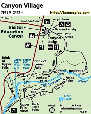
|
| This map was downloaded from the NPS site. |
Grand Canyon of the Yellowstone, South Rim
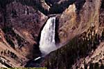
Lower Fall of the Yellowstone


Grand Canyon of the Yellowstone, North Rim
North Rim Drive / Inspiration Point



Canyon Village to Lake Village
Yellowstone River / Sulphur Cauldron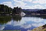
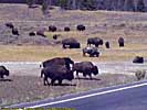
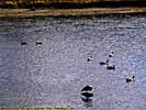


Fishing Bridge
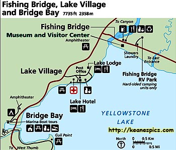
|
| This map was downloaded from the NPS site. |
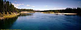
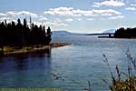
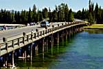
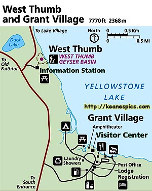
Lake Village to West Thumb
|
| This map was downloaded from the NPS site. |
Some final thoughts and observations
If you live South and/or East of the park, one of the nice things about Yellowstone and Grand Teton, is they're on the way home from other major parks like Glacier and Olympic (and all the other parks in the Pacific Northwest.) And that's exactly what happened on my last two trips to Yellowstone. Since I had previously spent five days exploring the park, the shorter stays were to visit the highlights or places we hadn't been before.I would recommend a newbie give a few days to their initial trip, visit the highlights, and drive the Grand Loop both directions as you visit the various attractions. I would also recommend driving the entrance roads, as many times they're just as interesting as the Grand Loop.
You need to have a plan for each day, but not necessarily any particular day. For instance, you may want to plan a day for when it rains, that's mostly indoors visiting the lodges and museums around the park. If you're going to be taking pictures, you might want to plan on visiting certain places during the morning or evening, depending on where the sun is in relation to the thing you want to photograph.
If you notice a knot of traffic, you can almost be assured there's some sort of wildlife around. (Not the human kind.) The bad news is, tourists are idiots, and completely forget how to drive. If you're not one of those trying to find a place to park, try not to hit the cars or people that are...
If the wildlife was bison or elk, then the crowd pulling over are newbies. If you spend a few days in the park, you'll find bison and elk as common as squirrels, lol...
You are generally pretty high in altitude. You should keep that in mind if you come from a lower altitude. Climbing up a couple hundred feet doesn't sound to hard, until you find out that yeah, it's harder at 8,000 feet...
There are a lot of places in Yellowstone that will kill you without a second thought. Follow the directions on the signs. Falling into thermal features or rapidly flowing rivers, or off cliffs or ledges has a good chance of killing you. Yellowstone is also not a petting zoo. Yellowstone is not Disney. You should assume everything you do is at your own risk...
Related Links
| US-212, The Beartooth Scenic Highway | |
|---|---|
|
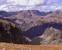
The Beartooth Scenic Highway is one of those magnificent mountain drives, this one crossing the Beartooth Mountains. It's a spectacular way to leave (or enter) Yellowstone from the East. I do list it as one of my must do drives. |
| Montana, Wyoming / 40 Images. Visited Sep 2001. | |
| Wyoming State Route 296, Chief Joseph Scenic Highway | |
|---|---|
|
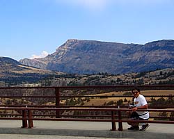
The Chief Joseph Scenic Highway is the other
scenic route you can take out of the Yellowstone's Northeast Entrance.
While not as spectacular as the Beartooth Highway, it's very scenic once
you reach the mountains, and it puts you closer toward the Black Hills
should you be going there on the way home.
If you can only drive one, I'd recommend the Beartooth Highway, but Chief Joseph has its moments... |
| Wyoming / 35 Images. Visited Jul 2006. | |
| Grand Teton National Park | |
|---|---|
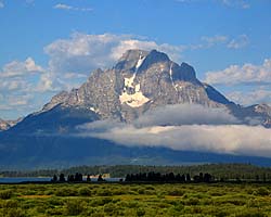
|
Grand Teton National Park got the short shrift the first two
times I was there. It was just a transit between someplace else and Yellowstone.
That changed in 2006 when I spent three days in the park, and it impressed enough to make me give it equal time with Yellowstone if I ever get back there... |
| Near Jackson, WY / 194 Images. Visited Sep 1998, Sep 2001, Jul 2006. | |
| US-89 | |
|---|---|
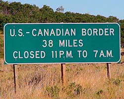
|
US-89 is a remarkable road that follows some of the
most scenic areas of the West from Canada to Arizona, and along the way passes
through (or comes within a few miles of) over a half dozen major Western Parks.
Glacier to Yellowstone to Grand Teton, Bryce, Zion, Glen Canyon and Grand Canyon.
I've actually frequented this road quite a bit, but in a disjointed, non-continuous fashion. |
| Visited Various | |
Trip Report: Sep 1998, Sep 2001, Jul 2006.
End Yellowstone National Park - Part 3 of 3
| Jump to: | Part 1 | Part 2 |
|---|
| Return to: | State Index | Wyoming State Page | Montana State Page | Idaho State Page | National Parks |
|---|
- 04/30/2016 - Initial deployment
- April 2017 - Upgrade to v3.4.
- August 2022 - Upgrade to v5.0. Complete edit and rewrite
| Help! | About This Site | Contact Me |


