
Death Valley National Park
| Introduction | Zabriskie Point | Furnace Creek Visitor's Center | Badwater Basin | Devil's Golf Course |
| Along CA-178 | Golden Canyon | Around the park | Father Crowley Point |
|
| Click to go directly to the Slideshow |
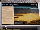
It's one of the driest places in the world because of the mountain ranges that line up like walls preventing the heavier, moist air from getting to the Valley. As a matter of fact, the tallest mountain in the continental U.S., Mount Whitney in the Sierra Nevadas (at 14,500 feet), is due West of the park.
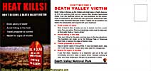
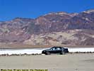
Other than being dry, the places is hot. Temperatures will reach triple digits (in Fahrenheit) in June, and stick around until September. The temperature sensor in my car (which was remarkably accurate) stated it was 105 degrees when I was there. The record high temperature was 134 degrees, set in 1913.
|
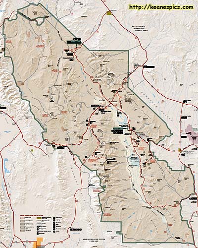
| Map of Death Valley National Park. Click on the map for a larger view. |
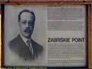
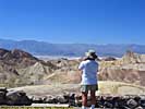
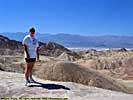
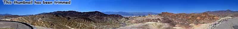
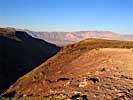
Zambriskie Point
We first stopped at Zambriskie Point, an viewpoint that overlooks the Amargosa Range to Death Valley. The panoramics are spectacular.
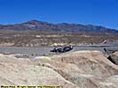
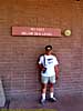
Furnace Creek Visitors Center
A quick stop in at the Furnace Creek visitors center, provided us with a map and a free postcard. (Thermometer reads 98 degrees...)
Furnace Creek Visitor's Center
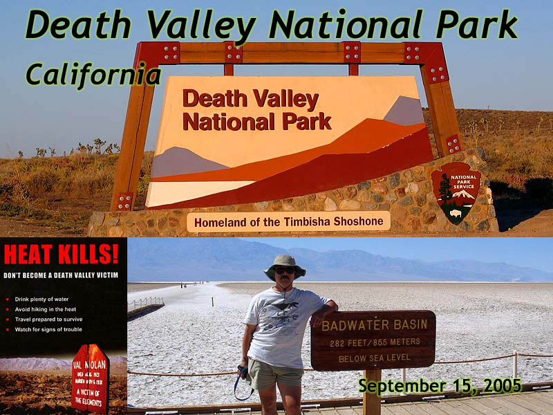
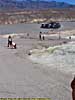
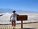
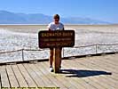
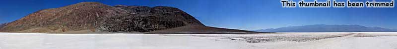
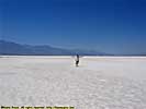
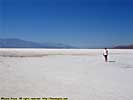
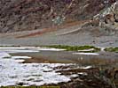
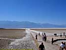
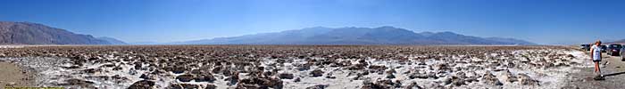
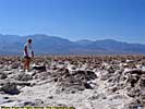
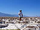
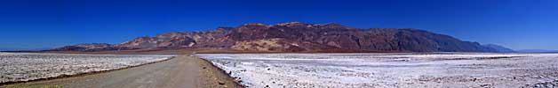
Badwater Basin
Badwater Basin is probably the most famous spot in Death Valley, at 282 feet below sea level. We walked about a mile into Badwater Basin, far enough from the other tourists to take the panoramic below.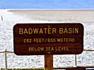
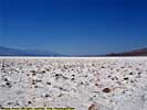
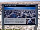
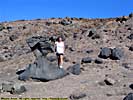
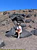
Devil's Golf Course
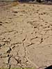
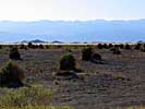
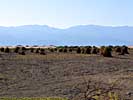
The Devil's golf course, is the remnants of a lake that dried up over 2000 years ago. The salt and silica form a rough, rock hard surface, almost impossible to walk on.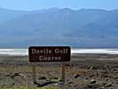
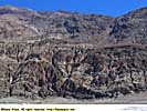
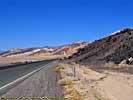
Along CA-178
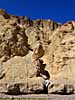
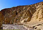
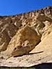
Golden Canyon
Golden canyon is a hike that can take you all the way to Zabriskie point. The colors are representative of the type of minerals found in the soil.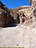
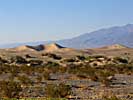
Due to the mountains and cross winds they create, this Dune Field is contained in a 15 square mile area. There are larger and more spectacular dunes in the park, but are in much less accessible areas.
Father Crowley Point
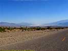
The drive out of Death Valley, had views a spectacular view of the valleys and mountains that cause death valley to be the hot and arid place that it is.
Trip Report: Sep 2005.
| Return to: | State Index | California State Page | National Parks |
|---|
- 04/30/2016 - Initial deployment
- April 2017 - Upgrade to v3.4.
- July 2022 - Upgrade to v5.0.
| Help! | About This Site | Contact Me |