Saguaro National Park
|
| Click to go directly to the slideshow |
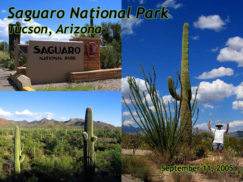
In 2005, I visited Tombstone, Arizona, one of the iconic boom towns in the
era of the Wild West. After leaving Tombstone, I visited Saguaro National Park,
about an hour away, which delivered me to the other iconic West, the one of rugged,
desert landscapes, dozens of different cacti and the king of the Sonoran Desert,
the Saguaro Cactus.
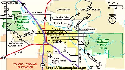
Saguaro National Park covers is just over 91,000 acres, and is split into two Districts.
The Tucson Mountain (West) District, and the Rincon Mountain (East) District. They're
separated by some 30 miles, with Tucson, Arizona lying between them.
Trivia about the Saguaro:
It grows slowly. It takes 15 years to grow to a foot. By 30 years, it could be 5 to 6
feet tall, and will finally begin to flower and produce fruit. At 75 years, the Saguaro
may finally sprout arms. At 150 years, the Saguaro may be 50 feet (5 stories) tall, and
weigh 8 tons. Regardless, it's hard to get the scale of these giants until you stand next to one.
|
| Saguaro National Park is split in two by Tucson, Arizona. |
Saguaro National Park, East Unit
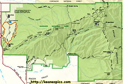
We did the Cactus Forest Drive in Saguaro's east unit, an 8 mile drive through the Saguaro Forest.
|
| Saguaro National Park, East Unit. Click on the map for a larger view. |
Saguaro National Park, East Unit




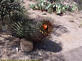


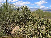

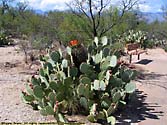


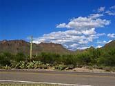
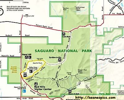
Saguaro National Park, West Unit
|
| Saguaro National Park, West Unit. Click on the map for a larger view. |
The West Unit, is a bit more primitive than the East unit, with only gravel
roads on the scenic loop drive. Signal Hill, is one of those places that the
natives got together and defaced the rocks a few thousand years ago.
Saguaro National Park, West Unit




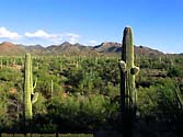

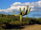
Saguaro National Park Trip Report: Sep 2005.
Revisions:
- 04/30/2016 - Initial deployment
- April 2017 - Upgrade to v3.4.
- August 2022 - Upgrade to v5.0.


