1996 West Vacation
September 7 to 13 - Part 2
Day 4, September 10.
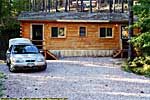
Holy Smoke Resort, Keystone, South Dakota
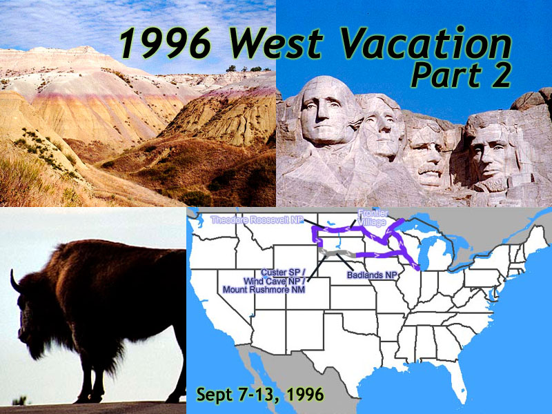 |
| My 1996 West Vacation - 14 days, 3,450 miles. Part 2 - Black Hills to Home. |
Of the four times I've passed by the Black Hills, I've stopped in three times. (Also see 1998 and 2006.) The only time I didn't stop was on September 14, 2001, and we just didn't feel like vacationing anymore.
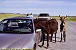
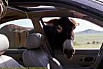
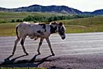
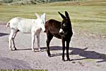
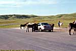
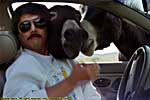
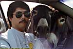
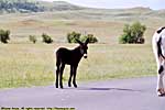
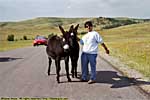
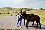
Iron Mountain Road is the scenic route if you're coming from Rapid City to Custer State Park or Mount Rushmore. It goes up into the Black Hills via switchbacks and "pigtail" bridges. (Think something like circular ramps in an urban parking garage.) You'll probably also find a pack (bunch? herd?) of burros on the road. Literally. Watch your speed.
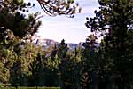
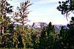
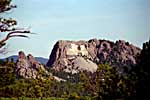
There are a number of single car tunnels along the road that have been engineered so the tunnel frames Mount Rushmore in the distance...
Iron Mountain Road, Black Hills National Forest
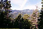
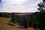
Custer State Park, South Dakota
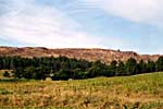
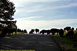
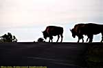
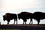
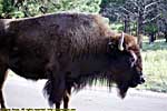
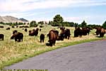
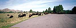
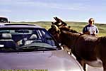
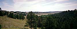
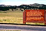
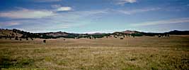
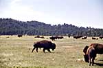
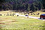
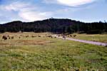
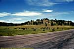
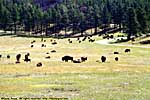
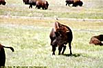
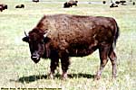
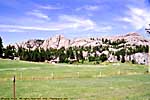
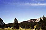
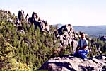
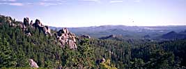
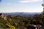
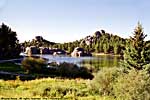
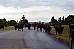
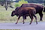
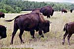
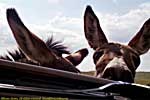
Custer State Park is probably my favorite State Park. It's a rather large park, from meadows and low hills where the buffalo roam to the spires and pinnacles of the Black Hills. It's also neighbors to Mount Rushmore National Memorial to the North, and Wind Cave National Park to the South. 50 miles East, is Wall Drug and Badlands National Park, and 30 miles to the West is Devils Tower. Just don't come during the Sturgis Motorcycle Rally, unless you're going to the Sturgis Motorcycle Rally. Really. I'm not kidding.Be prepared to stop for a Buffalo Jam, and bring a bag of carrots for the Burros. Just make sure they DON'T SEE the bag, or you're done. They'll pester you and won't leave you alone. There are two groups of Burros, one on the Wildlife loop road, and one on Iron Mountain Road. In either case, be prepared to stop, 'cause both the Buffalo and Burros could just be standing around on the road...
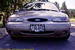
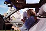
Oh, if you were reading above when I was talking about the grasshoppers, check out the front of the car...
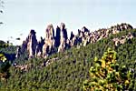
Custer State Park, Needles Highway
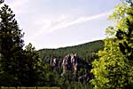
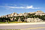
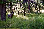
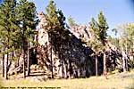
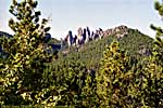
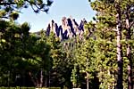
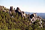
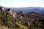
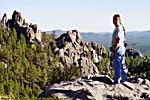
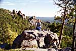
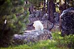
Go on Needles Highway if you want pictures of Big Horn Sheep. In 1996, I got the pictures below and thought "How often do you get pictures like that?" Well, the answer is, pretty much anytime you go there. Not only have I seen them every time I took Needles, but I also saw them on a Travel Channel program about the Sturgis Motorcycle Rally.Also on Needles Highway, are truly phallic rock formations, and their centerpiece, The Needles Eye. It's a nice drive.
Needles Highway, Custer State Park










Wind Cave National Park, South Dakota
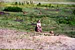
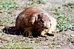
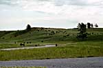
Wind Cave was so named for the breeze by the entrance caused by the change in barometric pressure inside and outside the cave.We went to the park, but not in time to get on any of the cave tours. I finally did that in 2006. So our visit was just a nice drive through some prairie dog towns and another herd of buffalo...
Mount Rushmore National Memorial, South Dakota
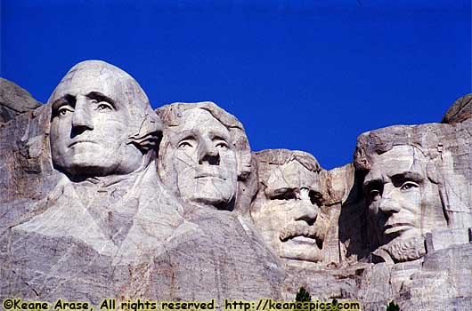 |
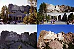
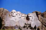
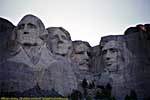
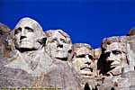
| Mount Rushmore National Memorial, in the morning. |
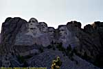
It's a good rule to remember. The first time we got to Mount Rushmore, it was late afternoon, and you literally had to shade the front of your lens with your hand to prevent lens flare from the sun. Bad for pictures. So we went back the next morning, and with the sun at our backs, and the faces fully lit, and it was the difference between a great picture and a lousy one.
Yes, that's a recommendation you get there in the morning. :-)
Jo claims the pictures didn't look real. There wasn't a cloud in the sky, and the sky was a uniform blue. I was back in 2006, and there were *too* many clouds. Life's rough...
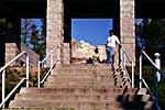
Mt. Rushmore National Memorial



Day 5, September 11. Comfort Inn, Oacoma, South Dakota
Badlands National Park, South Dakota
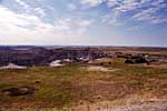
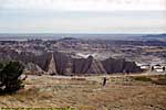
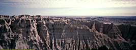
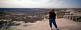
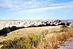
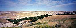
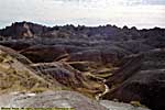
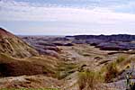
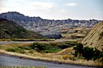
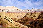
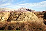
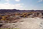
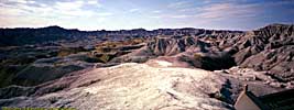
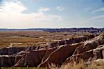
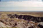
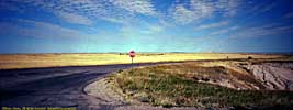
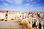
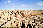
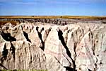
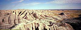
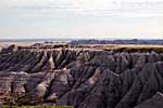
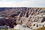
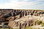
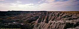
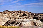
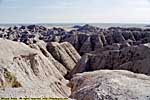
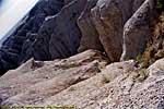
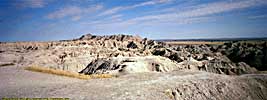
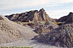
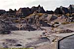
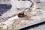
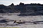
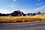
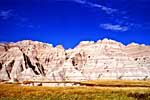
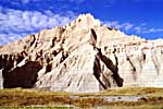
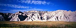
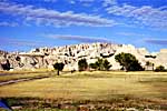
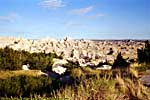
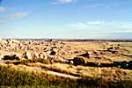
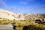
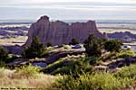
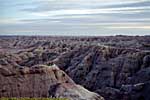
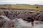
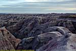
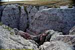
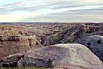
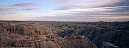
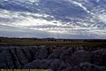
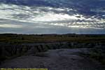
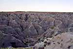
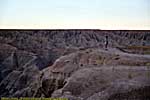
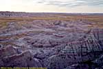
I've seen badlands in North Dakota, Montana and even Arizona, but they aren't as striking or vivid as those in Badlands National Park. There are places you can stand and look in one direction and see flat grasslands as far as you can see, then turn around and see a drop-off revealing layers of different colored deposits to another plain below.I was also here in 1998 and 2006. If you're coming in from either direction, stop in at Wall Drug for lunch. It's not out of your way, and it's one of the most interesting Interstate Tourist Traps around...
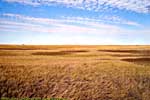
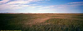
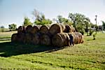
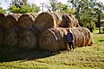
Here's a perspective of just how large those hay rolls you see are. When you see them in an open field, you just don't realize how big they are... :-)
We stopped overnight in a Comfort Inn, in Wisconsin Dells, just because we were tired. It would be a quick 3 or 4 hour drive home the next morning, avoiding most of the Chicago traffic.
My 1996 trip out West, started a travel bug in me that continues to this day. It showed me a different America from the Midwest and the East. It showed me places that seemed so far away on the travel shows, but when the rubber hits the road they're actually within reach. So over the next few years, I did some reaching...
Keane's 1996 West Trip:
Days: 7
Miles: 2381 miles
Miles/Day: 340 miles/day
Gas (Gallons): 96.65
Cost (gas): $129.31
Miles/Gallon: 24.64
Cost (lodging): $382.26
End 1996 West Trip - Part 2 of 2.
| Jump to: | Part 1 | Part 2 |
|---|
- 07/21/2013 - Update to v3.11
- 08/29/2014 - Update to v3.2
- September 2022 - Upgrade to v5.0.
| Help! | About This Site | Contact Me |

