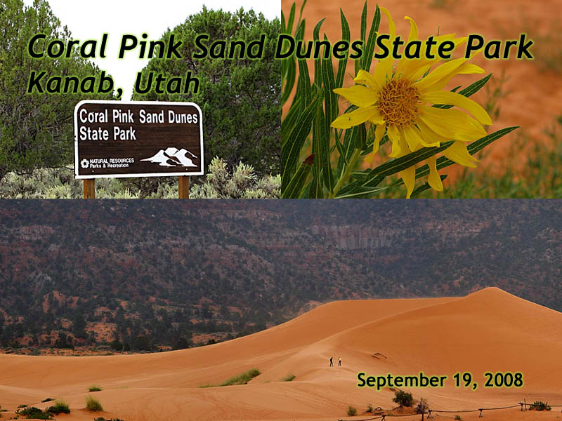
Coral Pink Sand Dunes State Park, Utah
|
| Click to go directly to the slideshow< |
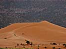
The dunes form here because there's a narrow notch between two mountain ranges which funnels and accelerates the prevailing wind, which picks up the sand of the eroding Navajo Sandstone. It's the Venturi effect on a very large scale. As the notch widens on the other side, the wind velocity drops and the sand falls out onto the dune field.
The first caveat is... The Sand!
|
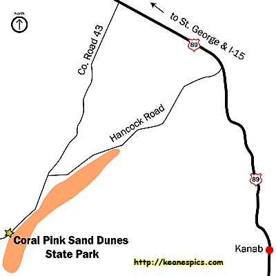
| Map supplied by Utah State Parks. |
Even so, you'll find pink foot prints on your car's floor mats when you get to your next destination.
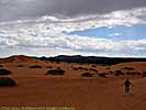
The second caveat is, even if you like pink, the majority of the dune field is open to ATV's, or more officially OHV's (Off Highway Vehicles), and the owners race through the dune field, making it look like an accident waiting to happen if you're on foot and on the other side of a dune. It would seem prudent to stay on the crest of the dune, where you're visible from all sides. We only walked to the edge of the dune field, where OHV's are prohibited.
If you're into geocaching, or at least geo-locating, the park provides coordinates to the oldest Ponderosa Pines in the area, one dating back to before 1600.
Coral Pink Sand Dunes State Park





Related Links
| US-89 | |
|---|---|
|
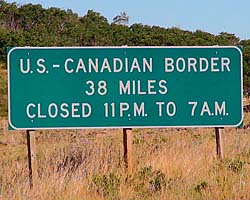
US-89 is a remarkable road that follows some of the
most scenic areas of the West from Canada to Arizona, and along the way passes
through (or comes within a few miles of) over a half dozen major Western Parks.
Glacier to Yellowstone to Grand Teton, Bryce, Zion, Glen Canyon and Grand Canyon.
I've actually frequented this road quite a bit, but in a disjointed, non-continuous fashion. |
| Visited Various | |
Coral Pink Sand Dunes Trip Report: Sep 2008.
| Return to: | State Index | Utah State Page | State Parks |
|---|
- 04/30/2016 - Initial deployment
- April 2017 - Upgrade to v3.4.
- August 2022 - Upgrade to v5.0.
| Help! | About This Site | Contact Me |
