
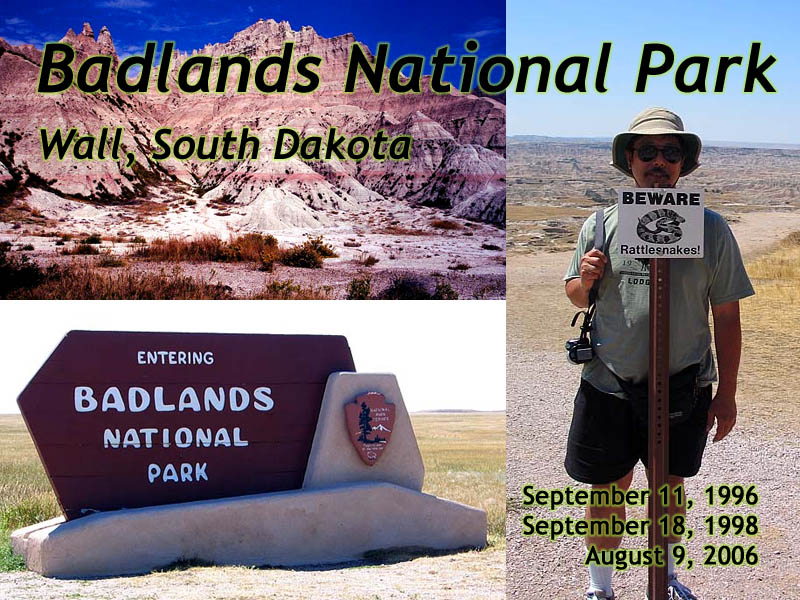
Badlands National Park
|
| Click to go directly to the slideshow... |
Introduction
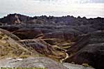
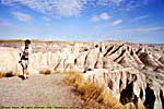
The Lakota Indians, who inhabited this area, named this place "Mako Sica", or "Bad Lands".Today, Badlands is a general term used in places with rocky, erosional remains of volcanic deposits or sea floors, with little rain and extreme temperatures. You can find these sorts of places in a lot of areas East of the active volcanoes of the Northwest in relatively dry areas.
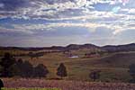
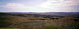
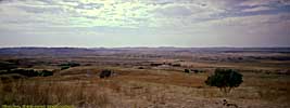
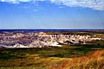
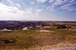
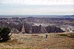
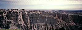
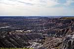
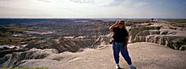
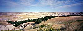
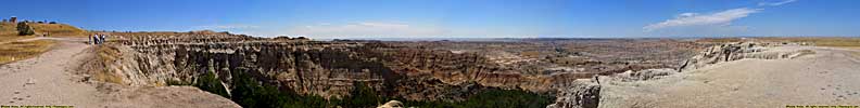
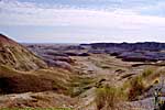
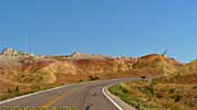
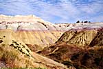
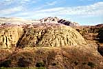
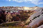
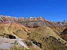
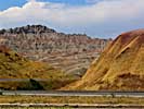
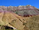
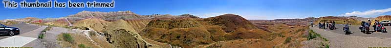
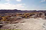
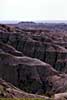
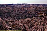
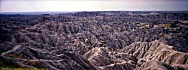
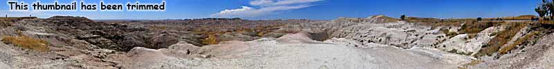
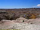
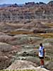
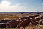
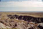
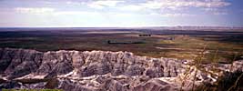
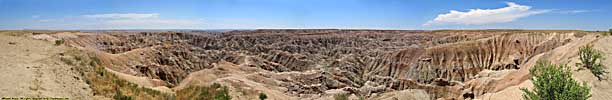
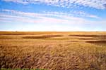
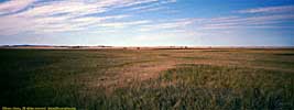
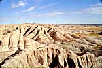
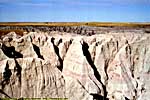
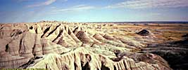
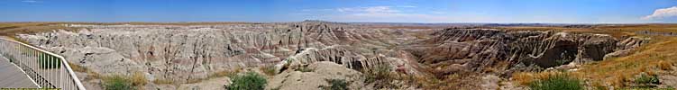
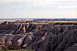
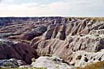
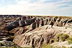
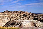
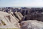
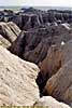
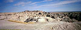
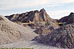
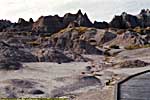
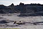
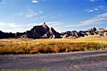
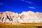
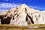
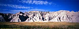
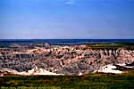
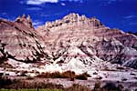
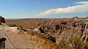
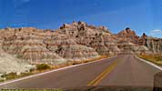
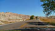
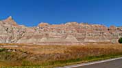
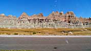
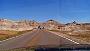
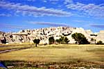
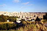
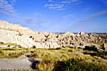
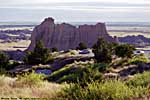
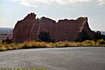
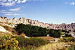
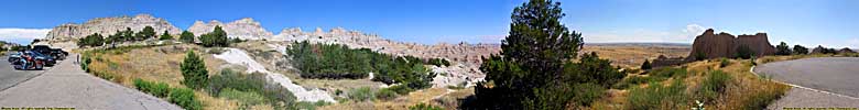
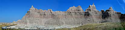
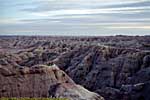
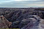
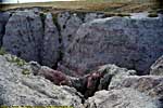
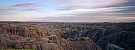
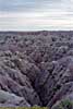
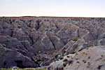
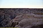
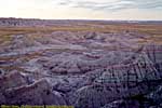
The eroded, banded hills in Badlands National Park, are old sea beds from a time this entire area was an inland sea or a tropical flood plain, depending on the whim of Mother Nature over millions of years. Today, this is also the dividing line between the long grass prairies to the West, and short grass prairies to the East.
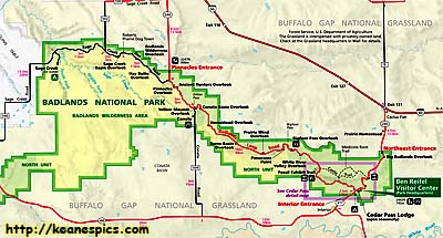
There are three units to the park. The unit that's developed and open to the public is called the "North Unit". The other two, the "Stronghold Unit" and the "Palmer Creek Unit", are both entirely within the Pine Ridge Indian Reservation and have no roads that run through them. The White River Visitor Center at the Southern end of the park, is only open part of the year.
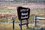
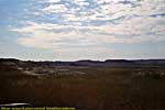
The rest of the area that surrounds the park that's not the Pine Ridge Reservation, is the Buffalo Gap National Grassland. It's managed by the US Forestry Service, so I guess if it had trees instead of grass, it'd be the Buffalo Gap National Forest. Something like that.
|
| Click on the map for a larger view. |
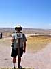
It was the second National Park I'd been to, and started to solidify the notion that any National Park was worth stopping at. Even if it had an ambiguous name (or you had to go out of your way to get there).
Badlands would have held the record for the number of times visited, but my third visit would have been on September 14, 2001, and we stopped pretending the vacation was still fun and drove straight home after leaving Yellowstone. So I've been there three times, because it's always on the way home on I-94 from all points Northwest.
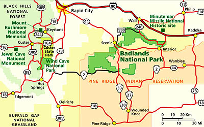
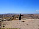
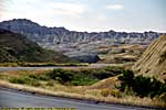
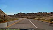
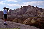
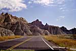
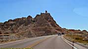
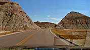
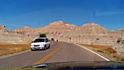
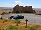
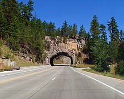
If you're vacationing in the Black Hills, Badlands can be a day trip. The park is less than an hour from Rapid City. The main park road is only about 30 miles long, 50 miles if you go all the way to the West end of the North Unit. It can easily be done in four to six hours, even if you stop at most of the viewpoints and hike a short trail.
If you're travelling down I-94, and have never seen the park, it's worth the short detour off the Interstate. Just keep in mind that the speed limits in the park are half that of I-94. Slow down...
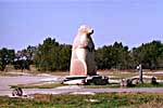
There's a restaurant inside the park, but I'd highly recommend stopping in at Wall Drug for food. It's literally on your way into or out of the park, in Wall, South Dakota. Plan to spend a couple hours there. It actually started as a drug store, but soon realized that it served more tourists than prescriptions. Today, it's one of the premier tourist traps in the Black Hills area (which is saying something), and is well worth a visit. (They don't even charge you to get in, and the food is reasonably priced. Be hungry...)
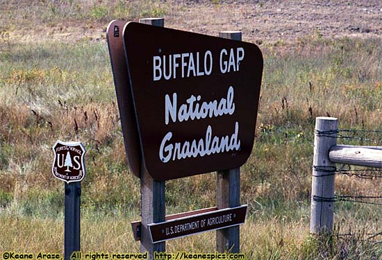
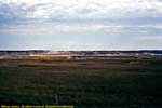
Buffalo Gap
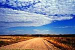
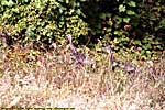
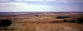
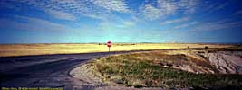
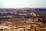
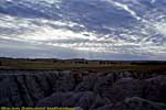
I drove through the Buffalo Gap National Grasslands one year when I decided to bypass Rapid City and head directly East to the park.Yep, it's miles and miles and miles of prarie.
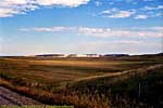
Buffalo Gap National Grassland
|
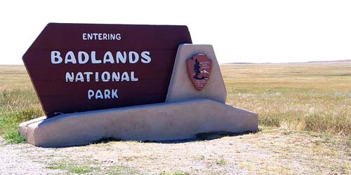
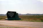
| Entry Sign at the Pinnacles Entrance |
Yellow Mounds Overlook (nee Seabed Jungle Overlook)
Changing Scenes Overlook (nee Conata Basin Overlook)
Homesteads and Ranches Overlook
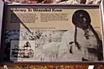
Journey to Wounded Knee (Bigfoot Pass) Overlook


Related Links
| Black Hills | |
|---|---|
|
The Black Hills, long a sacred area for the local tribes, is now more a tourist destination. You can easily plan a weeklong vacation in the area, with attractions like Mount Rushmore, Wind Cave, Custer State Park, and the Western Towns such as Deadwood. Just don't go there during the Sturgis Motorcycle Rally, unless you're specifically going for the Sturgis Motorcycle Rally... |
| Western South Dakota / 11 Images. | |
Badlands Trip Reports: Sep 1996, Sep 1998, Jul 2006.
| Return to: | State Index | South Dakota State Page | National Parks |
|---|
- 04/30/2016 - Initial deployment
- April 2017 - Upgrade to v3.4.
- August 2022 - Upgrade to v5.0.
| Help! | About This Site | Contact Me |