
Theodore Roosevelt National Park
|
| Click to go directly to the slideshow |
Introduction
Unlike most other National Parks which are established to protect a unique resource and/or region, Theodore Roosevelt National Park is a memorial to a man. It does protect some of the North Dakota Badlands, but it was the only park ever to be dedicated a National Memorial Park in America.
It's not within the purview of this web page to cite Theodore Roosevelt's life, but here's the short version in relation to his park.
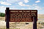
It's reported that in September 1883, Theodore Roosevelt visited the Badlands in the Dakota Territories by the Little Missouri River, to shoot himself a Buffalo before the species disappeared. (Technically a bison, but in the 1800's, they were buffalo.) Not only did he get his buffalo, but he also became enamored with the rugged lifestyle of the West. He invested $14,000 with the Maltese Cross Ranch, an already established ranch in the area before returning home.
Five months later, in February 1884, TR lost both his wife and his mother within hours of one another, and moved to the Maltese Cross Ranch to bury his sorrows. The shrill, nearsighted Easterner who spoke funny, became a cattleman, and by that summer had started a second ranch, The Elkhorn Ranch, about 40 miles North of Maltese Cross.
It was the Dakota Badlands that shaped TR's policies later when President.
After his death, the badlands were scouted for possible park sites, and in 1934 the CCC (The Civilian Conservation Corps) arrived to build roads and other infrastructure in what was called (in 1935) the "Roosevelt Recreation Demonstration Area". (Today, it is the North and South Units of the park.)
In 1946, it became the Theodore Roosevelt National Wildlife Refuge, under the US Fish and Wildlife Service.
The Theodore Roosevelt National Memorial Park was established by the Truman Administration in April 1947.
It became Theodore Roosevelt National Park in 1978, with a final size of 30,000 acres, in three units: The North, South, and Elkhorn Ranch units.
I haven't been to the Elkhorn Ranch Unit, the actual site of TR's second ranch. It's not generally open to the public except by appointment. (At least the last time I was there. And don't forget the need for a high-clearance vehicle to navigate the roads.)
In geologic terms, the land around here can probably be accurately described as a very loose aggregate. It is a combination of sea-floor bottom, debris from the erosion of both the Ancestral Rockies and the current Rocky Mountains, as well as volcanic ash from the various volcanoes to the West in Washington, Oregon, Idaho and Montana. That means the land is generally loose and easily eroded.
Interestingly enough, the badlands here might not have been the work of the current Little Missouri River, but of a more ancient one. Also of note, the river here once flowed into Hudson Bay, a consequence of a long gone North-South inland sea that cut North America in two. The Ice Age glaciers blocked all of the North flowing rivers long enough for new river channels to be cut toward the East, into (now) the Missouri then Mississippi Rivers.
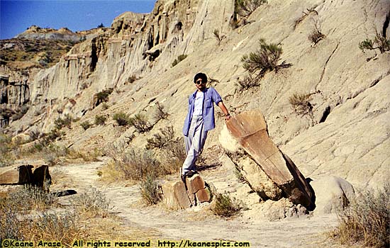
I've been to Theodore Roosevelt National Park three times.
|
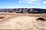
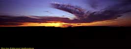
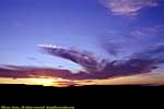
| Thousands of grasshoppers died in the execution of my 1996 vacation... |
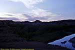
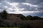
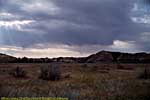
The second was in 2001 on my way to Glacier National Park. We stopped at Painted Canyon (before the Visitor's Center as open), and the South Unit. We were going to do the entire South Loop, but most of it was closed for maintenance. sniff. It was a crappy overcast day anyway...
The third time was in 2006, on my way to the Pacific Northwest. I stopped in at Painted Canyon, and went in the South Unit as far as the Visitor's center, where I got a tour of the Maltese Cross Cabin. It was an abbreviated stay, I was on a speed run from Fort Mandan (near Bismarck) to as far West as I could go that day, with another short stop at Salem Sue, the world's largest Holstein Cow. (And yes, you read that correctly.)
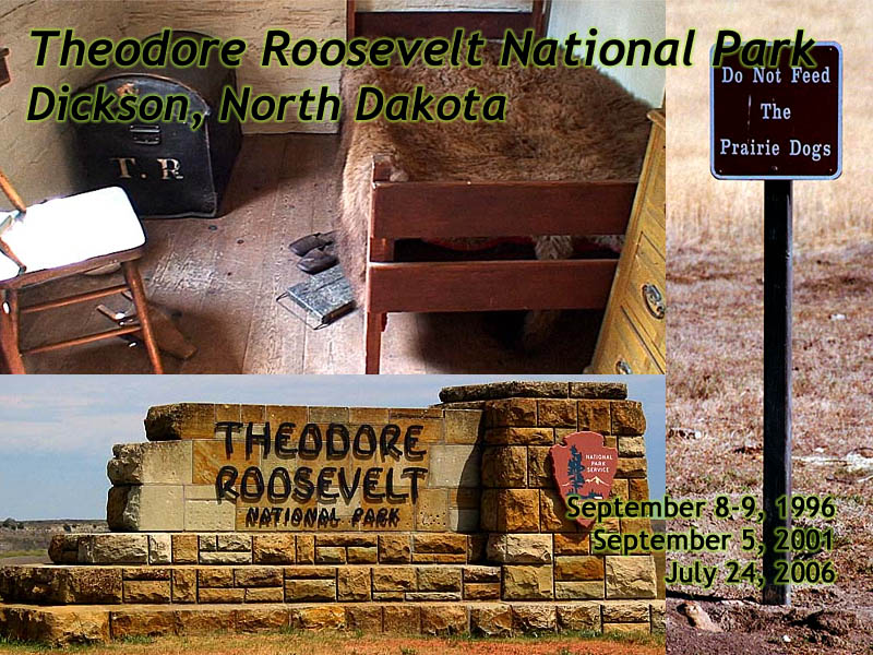
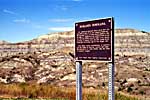
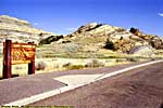
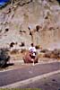
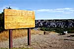
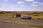
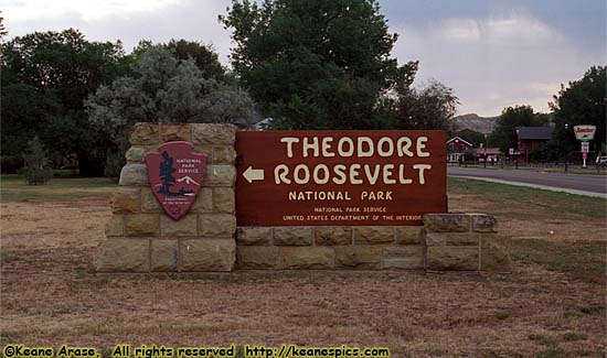
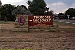
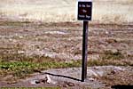
New Entrance sign at Painted Canyon
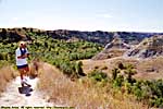
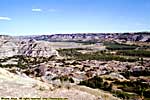
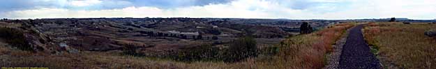
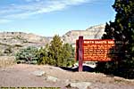
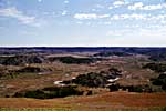
Theodore Roosevelt National Park, North Unit
|
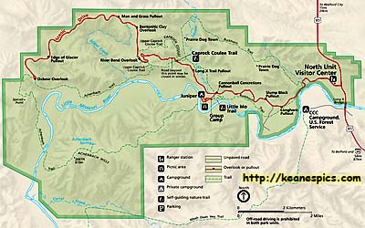
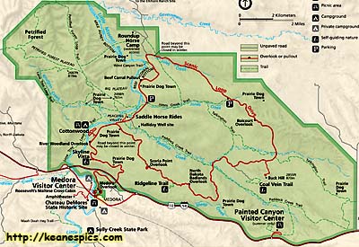
| North Unit - Click for a full size map. |
|
| North Unit |
That's 1.5 hours travel time for what is a half-day park. (Okay, it's in an unpopulated area of North Dakota, so you could probably travel a little faster...)
To be fair, the Grand Canyon has this same problem (with even a longer distance between the units), but has more interesting drive, and I don't think you can compare the North Rim with TR's North Unit.
It was also here that I learned that a name of a city on a map in the West could just be a couple of buildings, but the area is so isolated that it becomes enough of a landmark to make it a named place on a map...
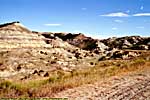
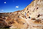
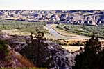
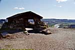
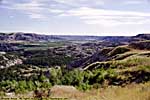
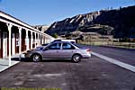
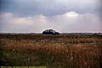
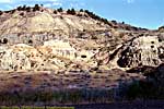
Entrance to River Bend
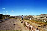
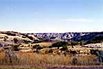
A minor problem with the North Unit, is the Scenic Drive within the park is not a loop. (Such a first world problem...) We compromised by only visiting viewpoints on the right side of the road.The problem with that (pre-digital), is you're not completely sure which photos are with which viewpoints, but I think I've been successful in re-collating the images from the Entrance to end of the road. (Oxbow Overlook.)
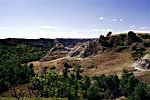
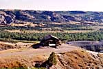
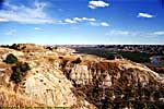
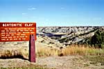
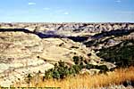
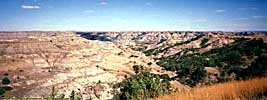
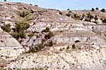
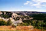
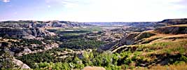
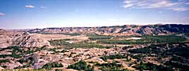
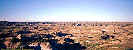
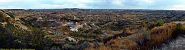
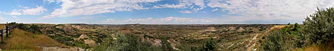
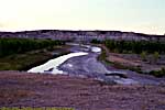
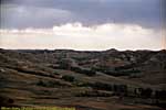
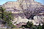
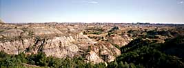
The nice thing about the North Unit, is I think it's a bit more scenic than the South, with the added blue hues of the Bentonitic Clay layers. It also holds the area where the Little Missouri River changes direction from North to East, an interesting artifact from the last ice age.
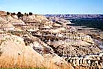
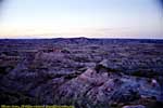
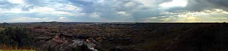
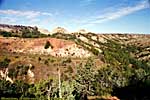
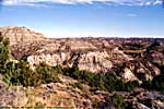
North Unit, Entrance to River Bend
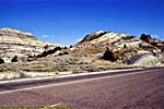
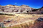
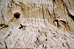
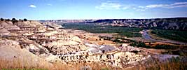
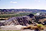
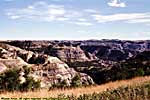
Bentonitic Clay to Oxbow
The entire North Unit is situated where the glaciers of the last Ice Age stopped advancing South, and you can find boulders here (called "erratics") from bedrock 400 miles to the North that were picked up and transported on the ice, then deposited here when the ice melted.This is also where the glaciers blocked the channel of the Little Missouri River, forcing it to turn East toward the Missouri (and eventually the Mississippi) River rather than Hudson Bay.
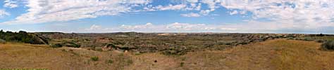
North Unit, Bentonitic Clay to Oxbow
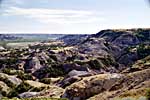
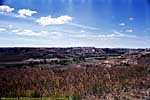
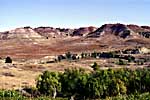
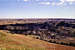
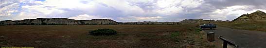
Theodore Roosevelt National Park, Painted Canyon / South Unit
|
| South Unit. This map was downloaded from the NPS site. |
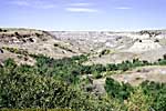
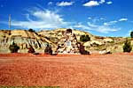
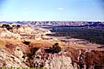
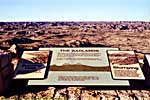
It showcases a view of the Badlands not seen from the Scenic Loop and probably gets thousands of visitors the rest of the park never sees, mostly because it's right off the Interstate and it has bathrooms. :-) If you're passing by on I-94, it's a no-brainer to stop by and take look, since the viewpoints are steps away from the parking area.
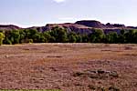
Theodore Roosevelt National Park, Painted Canyon
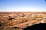
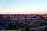
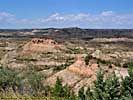
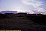
We went looking for a better sunset pictures (Painted Canyon generally face North), and went a little down River Road, South of Medora for some color.
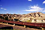
Theodore Roosevelt National Park, South Unit
|
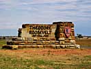
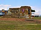
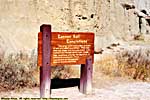
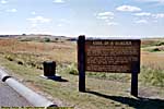
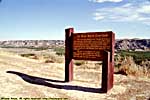
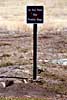
| South Unit Entry Sign... |
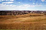
Medora was your typical tourist town (which isn't an insult or put-down, it's just their main business is the tourist trade), with a focus on Theodore Roosevelt. It was pretty empty every time I was there, but the two times I spent the most time there, was past Labor Day.
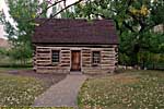
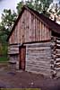
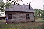
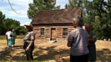
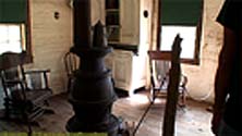
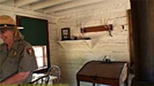
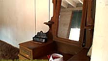
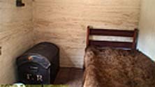
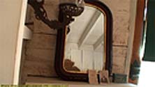
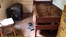
Just outside the Medora Visitor Center, is TR's Maltese Cross Cabin. It was relocated in 1957 from the ranch some 6 miles South of the park. It's pretty tiny, with three rooms (a kitchen, a living room / den, and a bedroom. There are daily tours, but I was never there during one of those times. However in 2006, a private tour group came through and the Rangers opened the cabin for them, so I became an interloper just went on through with the group. (The Ranger didn't mind, but the people in the group looked at me like they didn't recognize me. Bwahahahaha...)
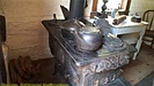
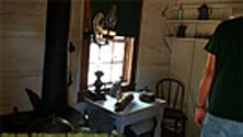
Many of the things in the cabin (the dresser, bed, trunk, desk, etc.) were actually owned/used by TR. The interior was too small for my still camera, but had a wide-angle adapter on my camcorder so I shot video. The interior stills below are actually frame grabs from that video.
Yeah, the tourist in me loves stuff like this.
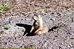
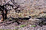
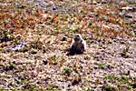
I think this was my first large scale introduction to Prairie Dogs. Yes, I know their holes become hazards and are a varmint to the local ranchers, but they're just too darned... cute.
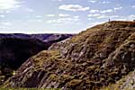
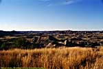
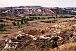
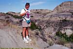
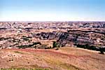
South Unit, Visitor's Center to Loop Road
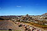
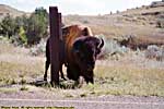
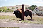
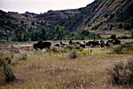
The first time I came across bison in any of the parks was here. Very exciting at the time, but being in buffalo jams later in Custer State Park and Yellowstone would pale this event.
If you're travelling the I-94 corridor through the region, it's worth the time to stop in (at least the South Unit) and tour the park. If you have another half-day, the North Unit is worth a visit, but if I'm honest, I'll say that half-day might be better spent at your destination should you be going to Yellowstone, Glacier, Olympic, etc.
But if you do stop in, well, bully for you!
Theodore Roosevelt Natonal Park Trip Reports: Sep 1996, Sep 2001, Jul 2006.
| Return to: | State Index | North Dakota State Page | National Parks |
|---|
- 04/30/2016 - Initial deployment
- April 2017 - Upgrade to v3.4.
- August 2022 - Upgrade to v5.0.
| Help! | About This Site | Contact Me |