
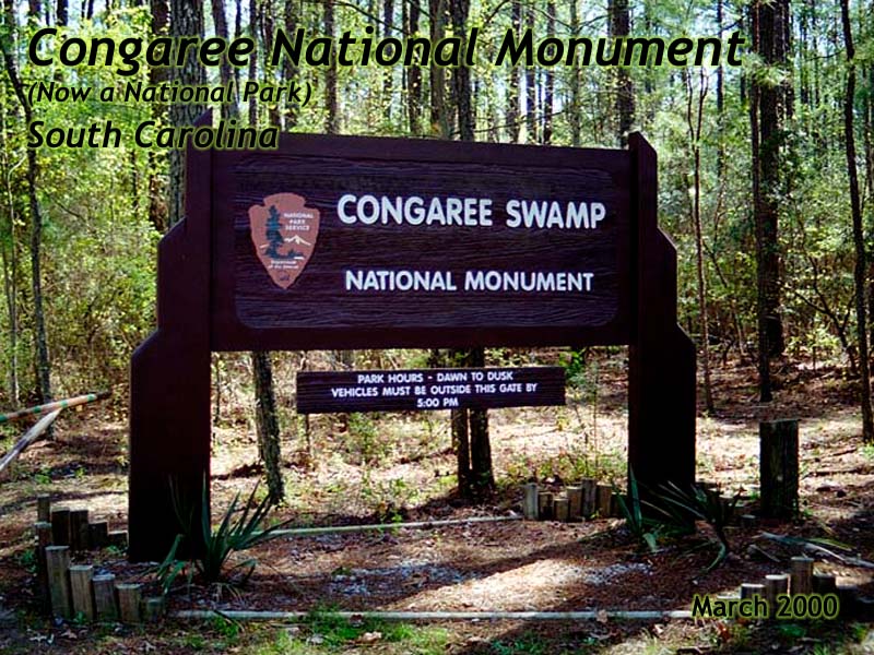
Congaree Swamp National Monument
(now a National Park)
|
| Click to go directly to the slideshow |
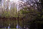
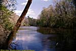
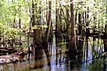
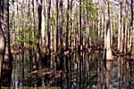
So the place floods a lot. It's also hot during the summer, making for excellent mosquito breeding grounds. But I digress...
Congaree Swamp was a National Monument when I was there, but got promoted to a National Park in October 2003.
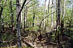
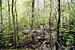
The two most notible things when I was there, were the tall, thin trees that blew crazily in the wind. Some of the pines in the swamp reach 160 feet, and may still hold national champions.
The second noticable thing, was the "Mosquito Meter" on the Ranger's cabin. It read "Low" when I was there, so I went for a walk...
Few pictures. I was taking video in that phase of my life, lol...
|
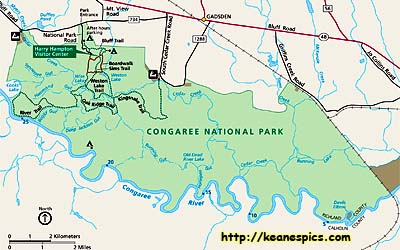
| Click on the map for a larger view. This map was downloaded from the NPS site. |
Trip Report: Mar 2000.
| Return to: | State Index | South Carolina State Page | National Monuments | National Parks |
|---|
Revisions:
- 04/30/2016 - Initial deployment
- April 2017 - Upgrade to v3.4.
- August 2022 - Upgrade to v5.0.
| Help! | About This Site | Contact Me |