 Previous image
Next image
Return to 2001 West Vacation 1
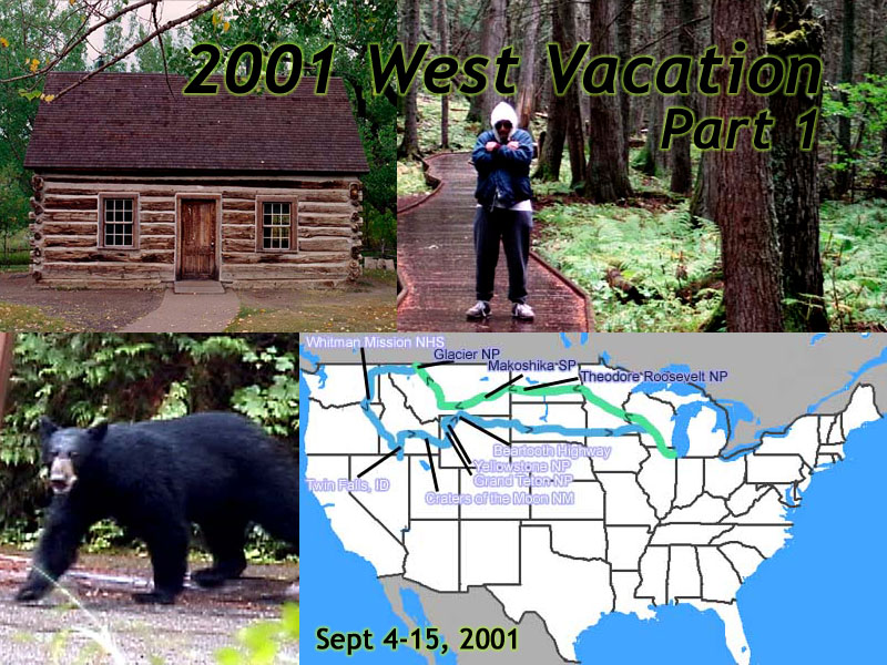
Location: 2001 West Vacation 1 Image: 1 of 113
Description: Title Card
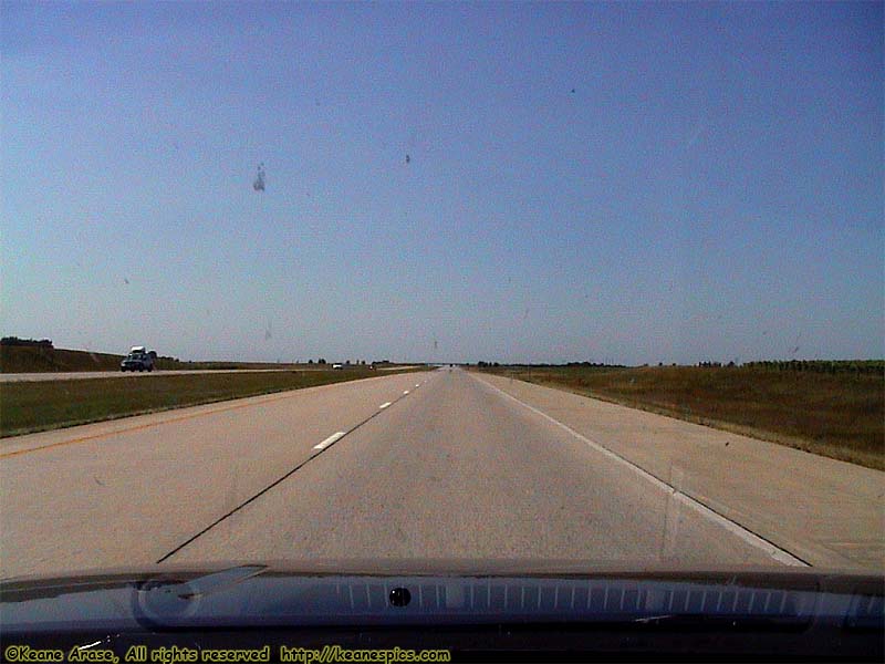
Location: Along I-94, Minnesota Image: 2 of 113
Description: On the road again!
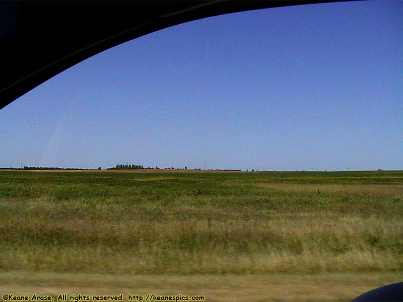
Location: Along I-94, Minnesota Image: 3 of 113
Description: On the road again!
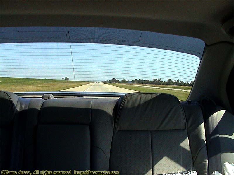
Location: Along I-94, Minnesota Image: 4 of 113
Description: On the road again!
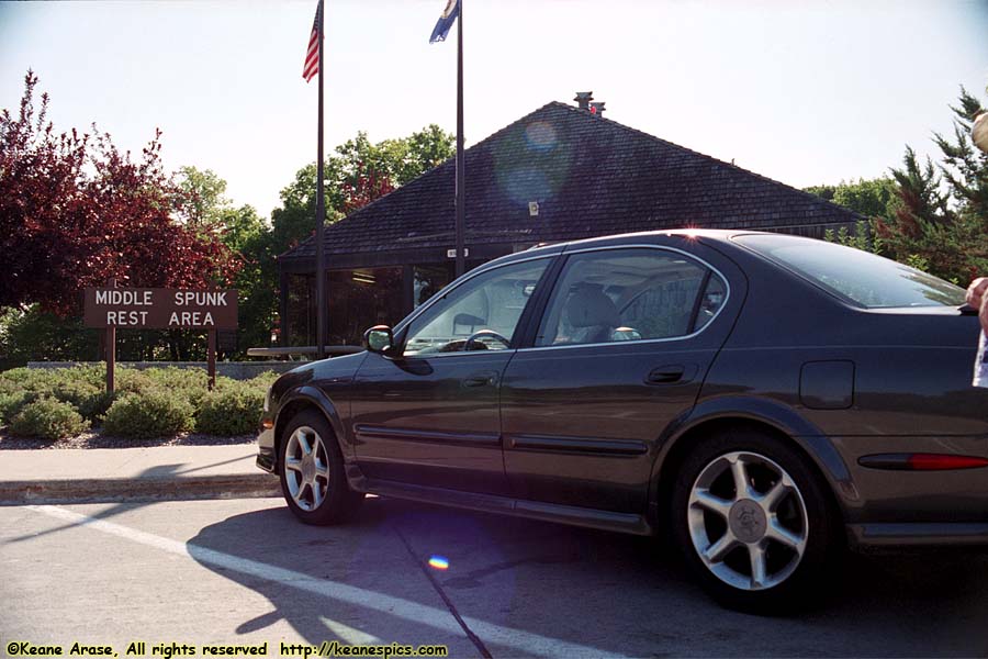
Location: Along I-94, Minnesota Image: 5 of 113
Description: Middle Spunk Rest Area
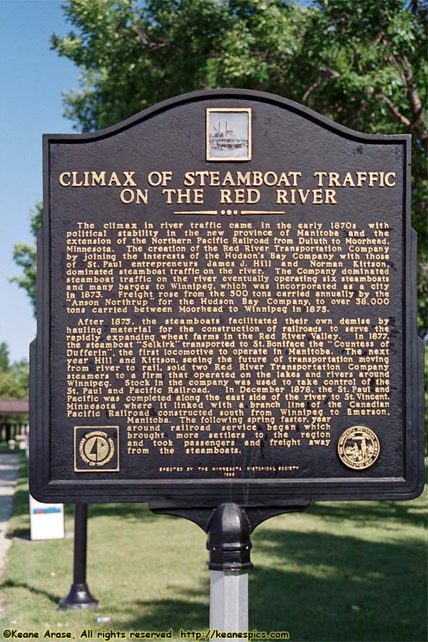
Location: Along I-94, Minnesota Image: 6 of 113
Description: Steamboat Traffic on the Red River
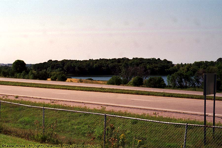
Location: Along I-94, North Dakota Image: 7 of 113
Description: From Rest Area
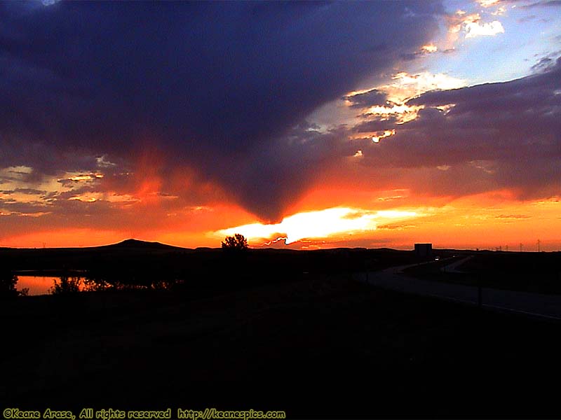
Location: Along I-94, North Dakota Image: 8 of 113
Description: Sunrise
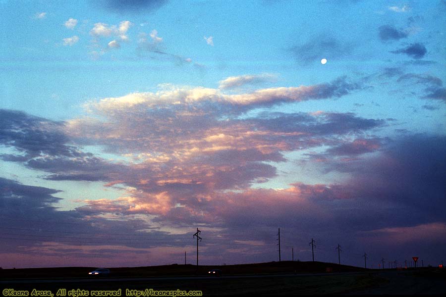
Location: Along I-94, North Dakota Image: 9 of 113
Description: Sunrise
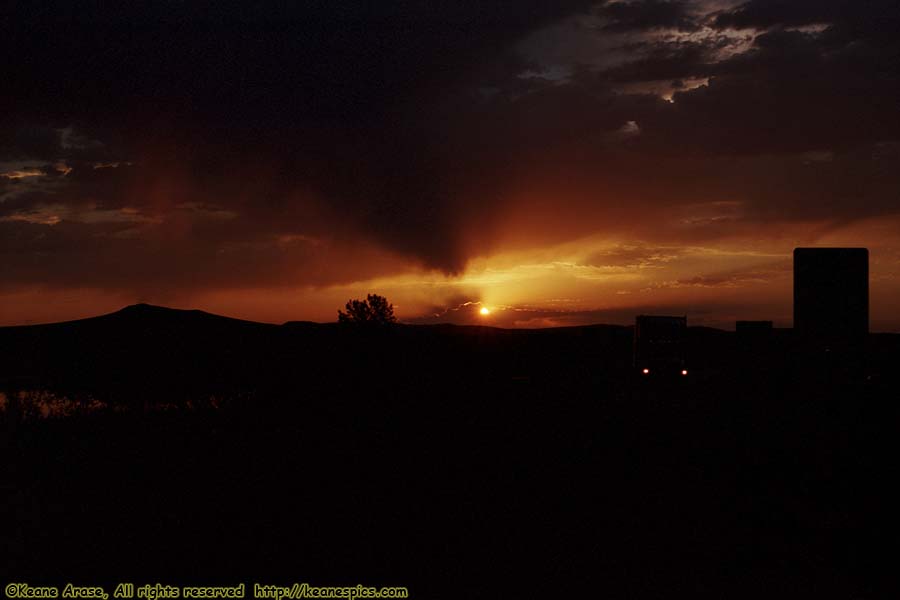
Location: Along I-94, North Dakota Image: 10 of 113
Description: Sunrise
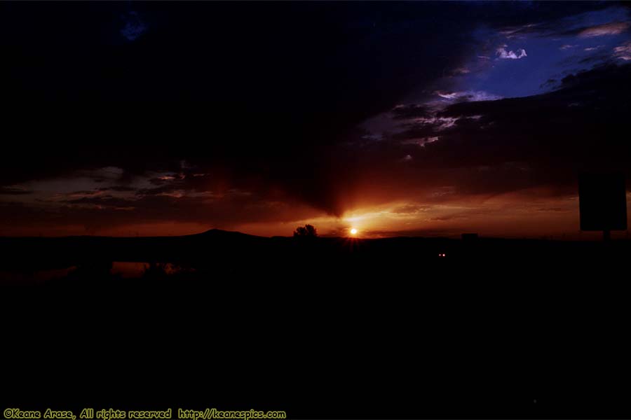
Location: Along I-94, North Dakota Image: 11 of 113
Description: Sunrise
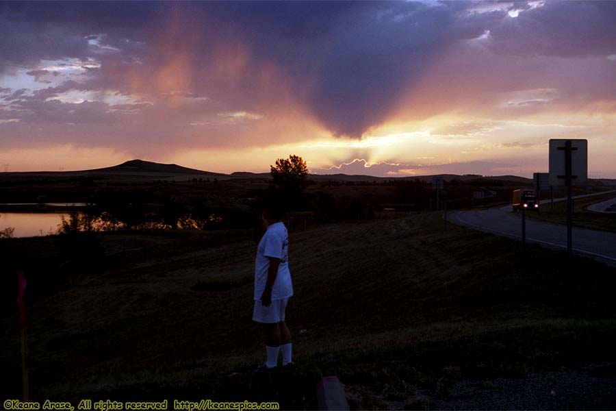
Location: Along I-94, North Dakota Image: 12 of 113
Description: Sunrise
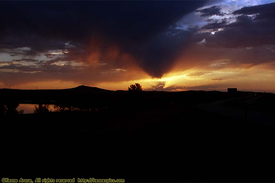
Location: Along I-94, North Dakota Image: 13 of 113
Description: Sunrise
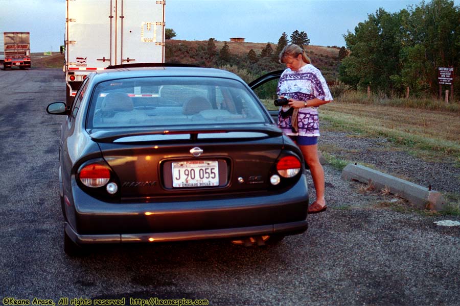
Location: Along I-94, North Dakota Image: 14 of 113
Description: Jo
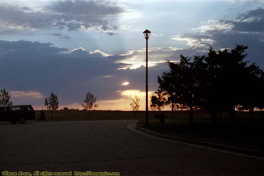
Location: Along I-94, North Dakota Image: 15 of 113
Description: Sunrise
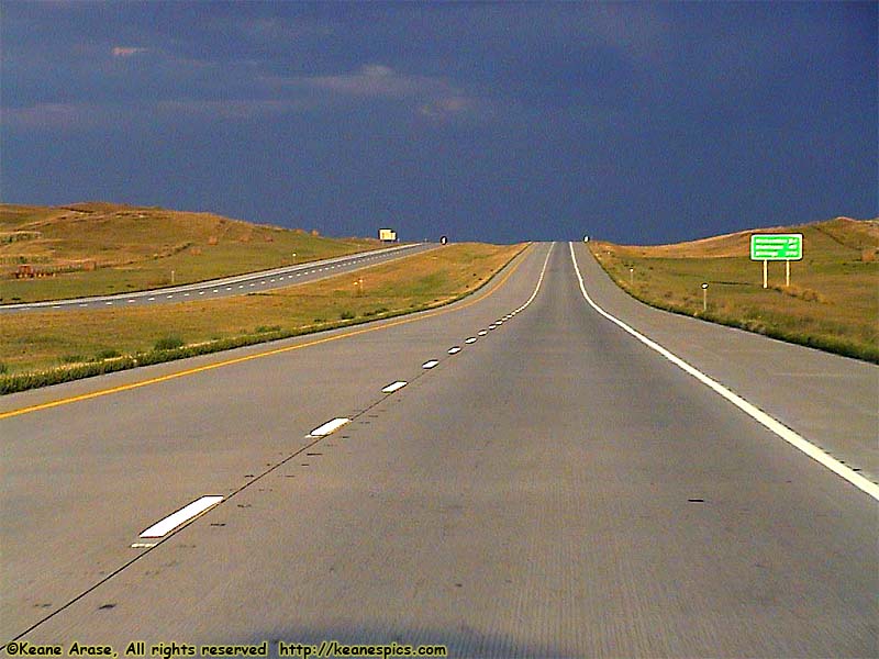
Location: Along I-94, North Dakota Image: 16 of 113
Description: Sunrise
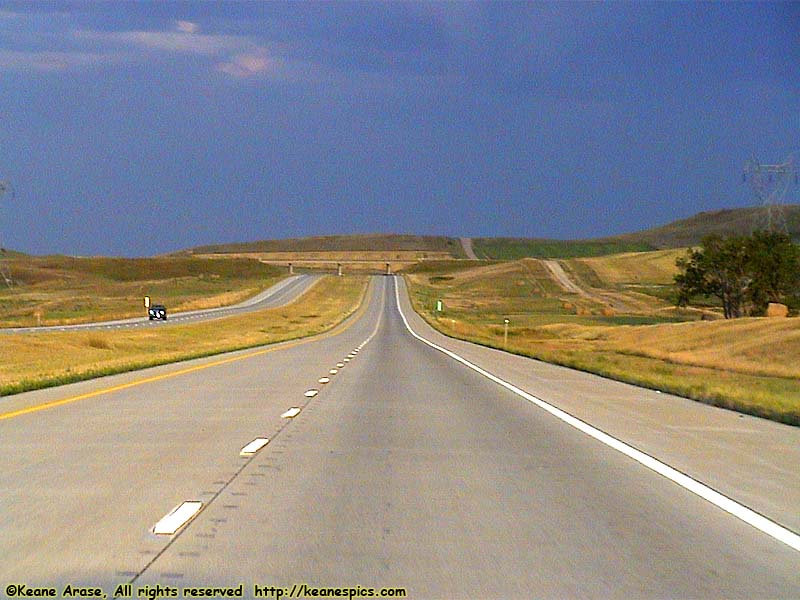
Location: Along I-94, North Dakota Image: 17 of 113
Description: On the road
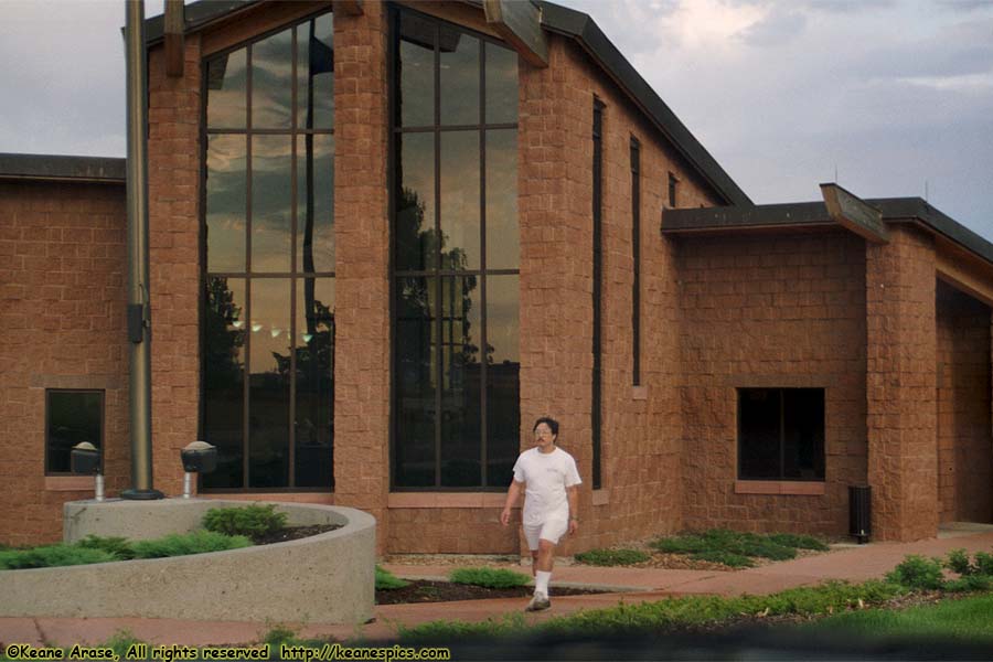
Location: Along I-94, North Dakota Image: 18 of 113
Description: Rest Area
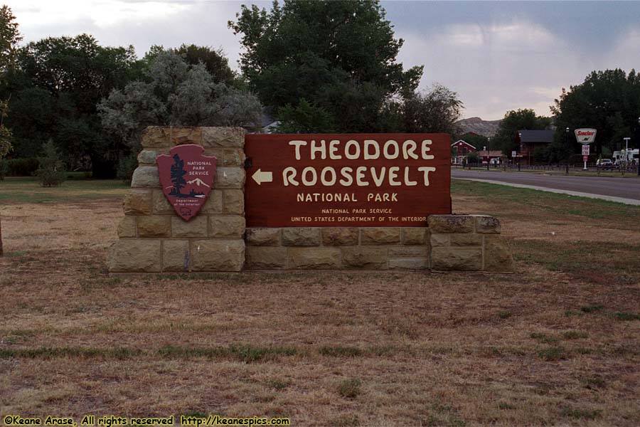
Location: Theodore Roosevelt National Park Image: 19 of 113
Description: Entrance Sign
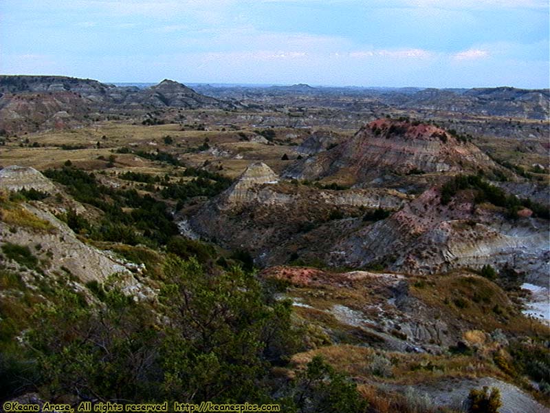
Location: Theodore Roosevelt National Park Image: 20 of 113
Description: Painted Canyon
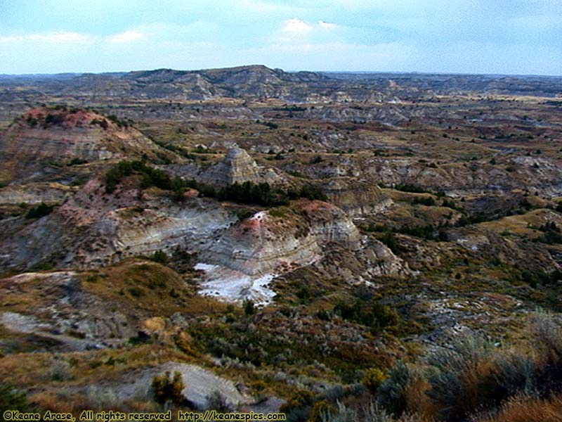
Location: Theodore Roosevelt National Park Image: 21 of 113
Description: Painted Canyon

Location: Theodore Roosevelt National Park Image: 22 of 113
Description: Painted Canyon

Location: Theodore Roosevelt National Park Image: 23 of 113
Description: Painted Canyon
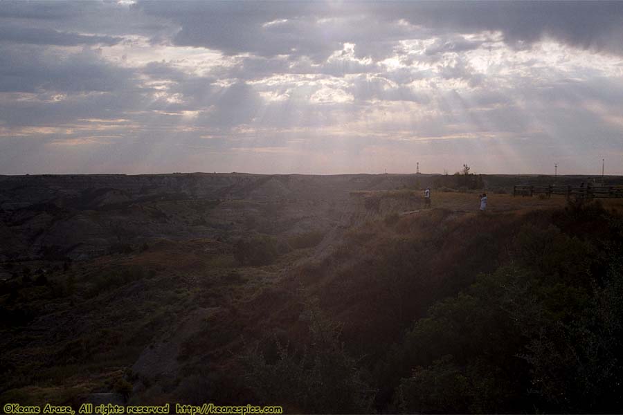
Location: Theodore Roosevelt National Park Image: 24 of 113
Description: Painted Canyon
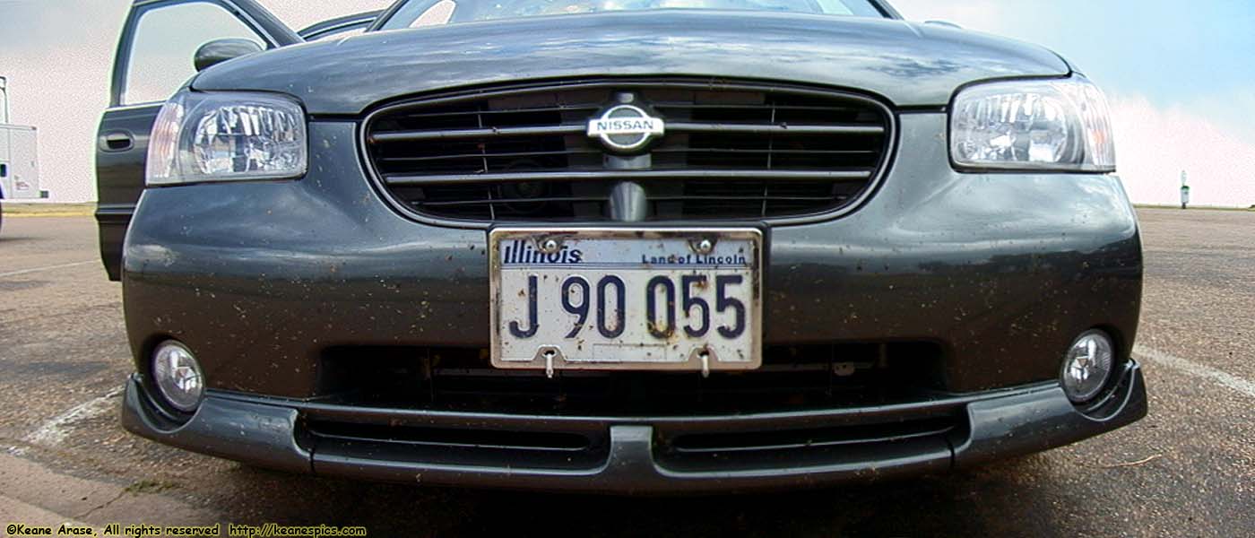
Location: Theodore Roosevelt National Park Image: 25 of 113
Description: Kills bugs fast!
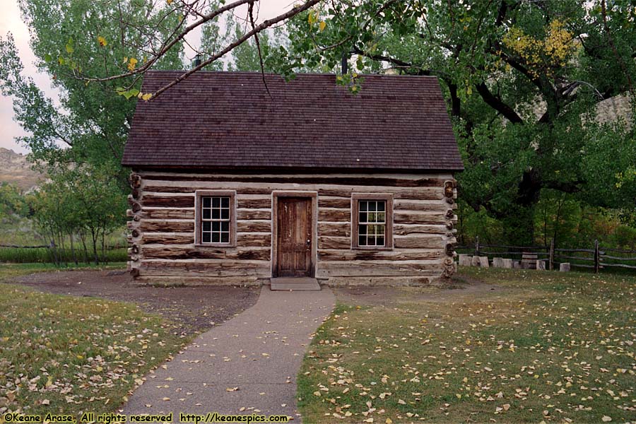
Location: Theodore Roosevelt National Park Image: 26 of 113
Description: Maltese Cross Cabin
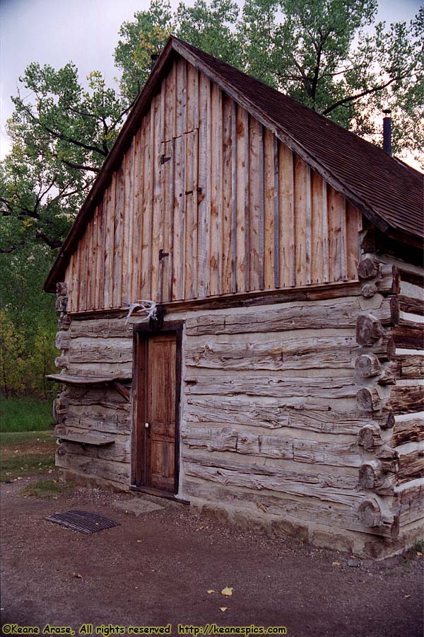
Location: Theodore Roosevelt National Park Image: 27 of 113
Description: Maltese Cross Cabin
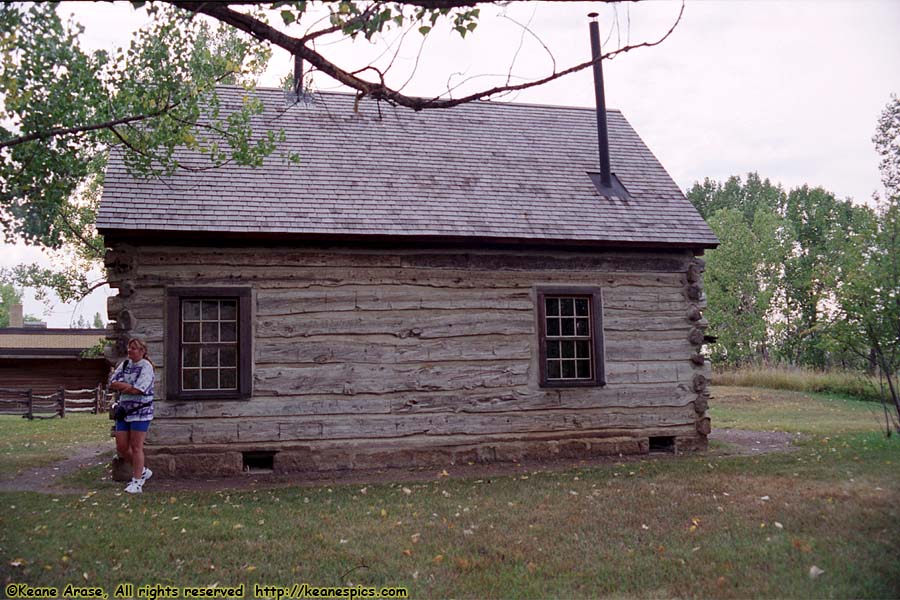
Location: Theodore Roosevelt National Park Image: 28 of 113
Description: Maltese Cross Cabin
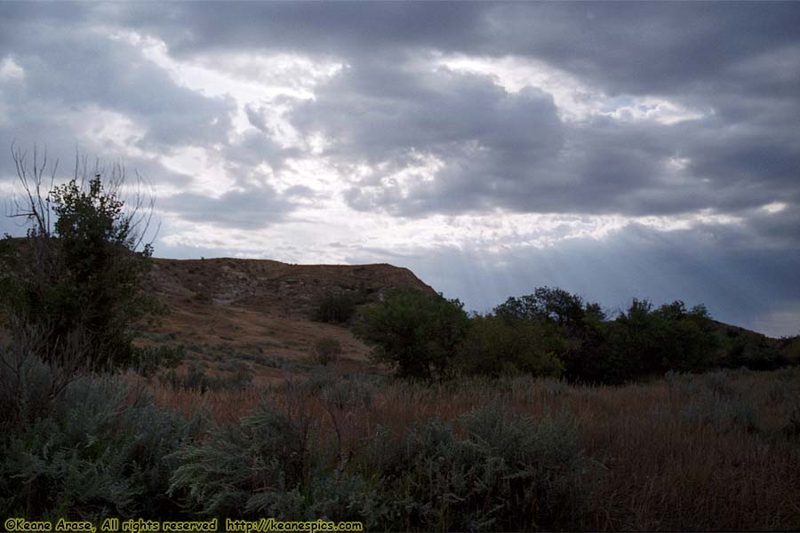
Location: Theodore Roosevelt National Park Image: 29 of 113
Description: South Unit Loop Road
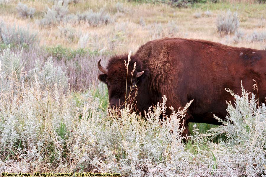
Location: Theodore Roosevelt National Park Image: 30 of 113
Description: Buffalo
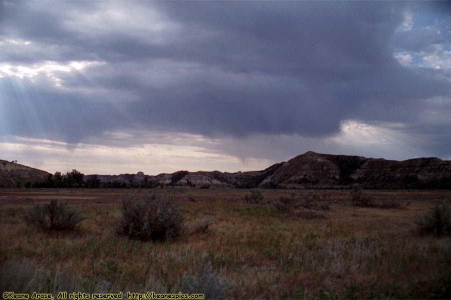
Location: Theodore Roosevelt National Park Image: 31 of 113
Description: South Unit Loop Road
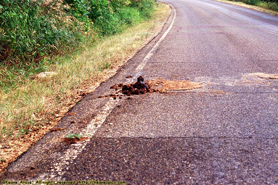
Location: Theodore Roosevelt National Park Image: 32 of 113
Description: Buffalo Pie
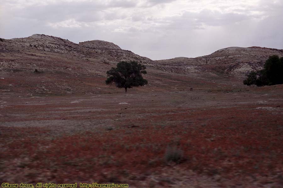
Location: Theodore Roosevelt National Park Image: 33 of 113
Description: South Unit Loop Road

Location: Theodore Roosevelt National Park Image: 34 of 113
Description: South Unit Loop Road

Location: Theodore Roosevelt National Park Image: 35 of 113
Description: South Unit Loop Road
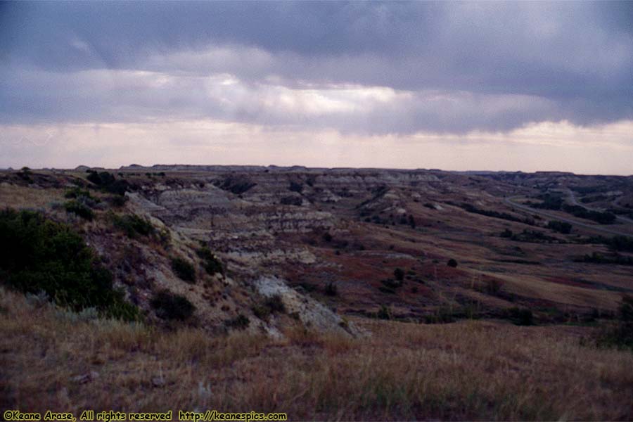
Location: Theodore Roosevelt National Park Image: 36 of 113
Description: Skyline Vista
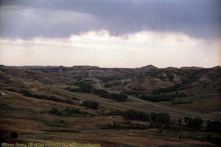
Location: Theodore Roosevelt National Park Image: 37 of 113
Description: Skyline Vista
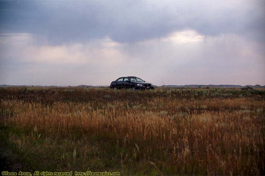
Location: Theodore Roosevelt National Park Image: 38 of 113
Description: Skyline Vista
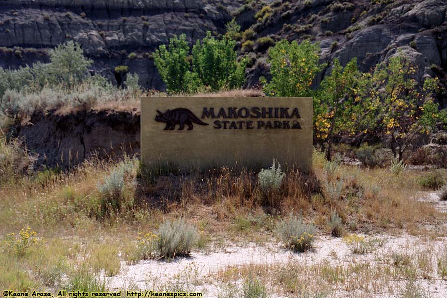
Location: Makoshika State Park, Glendive, MT Image: 39 of 113
Description: Sign
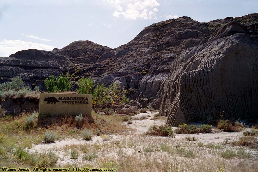
Location: Makoshika State Park, Glendive, MT Image: 40 of 113
Description: Sign
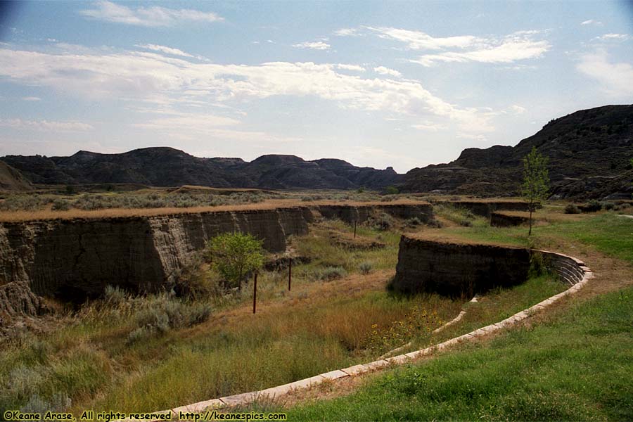
Location: Makoshika State Park, Glendive, MT Image: 41 of 113
Description: Scenic Drive
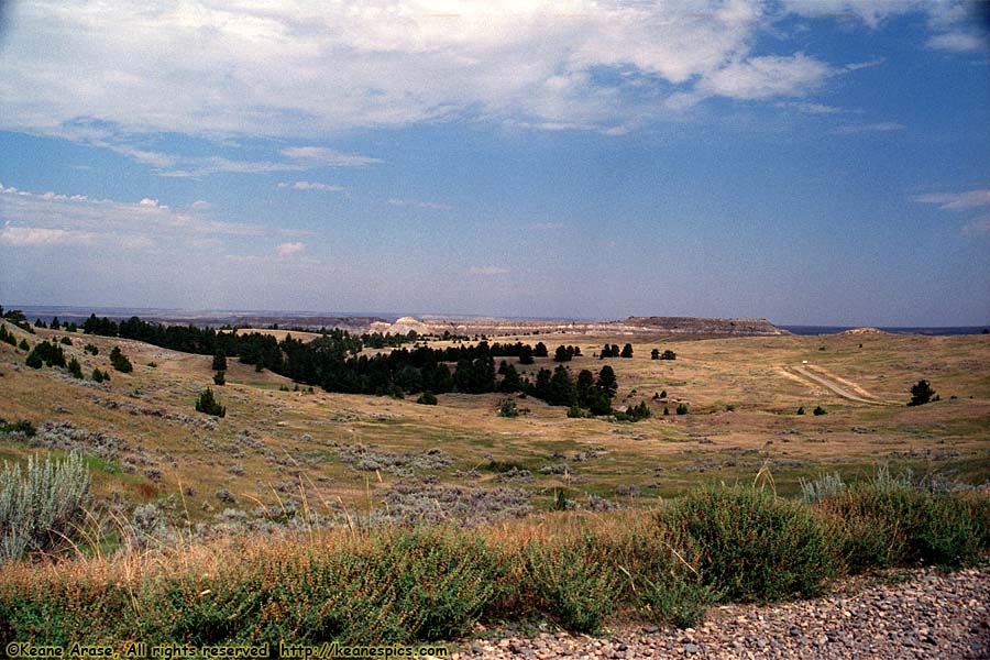
Location: Makoshika State Park, Glendive, MT Image: 42 of 113
Description: Scenic Drive
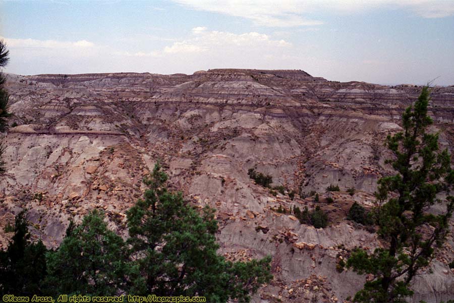
Location: Makoshika State Park, Glendive, MT Image: 43 of 113
Description: Scenic Drive
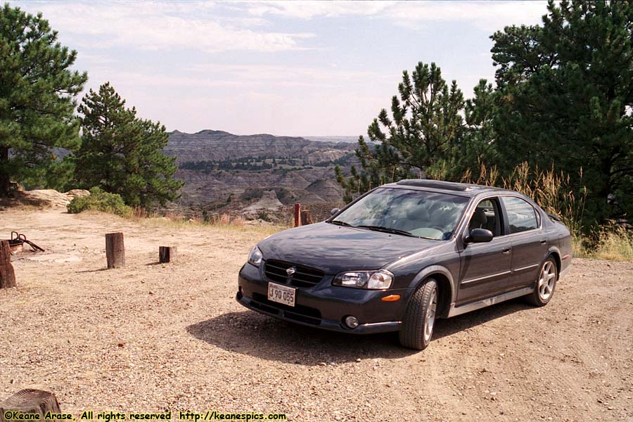
Location: Makoshika State Park, Glendive, MT Image: 44 of 113
Description: Scenic Drive
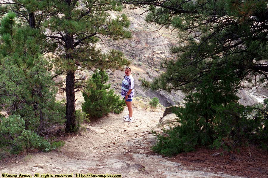
Location: Makoshika State Park, Glendive, MT Image: 45 of 113
Description: Scenic Drive
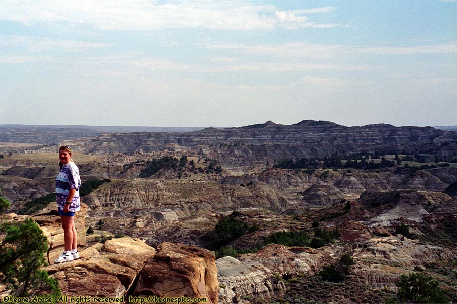
Location: Makoshika State Park, Glendive, MT Image: 46 of 113
Description: Scenic Drive
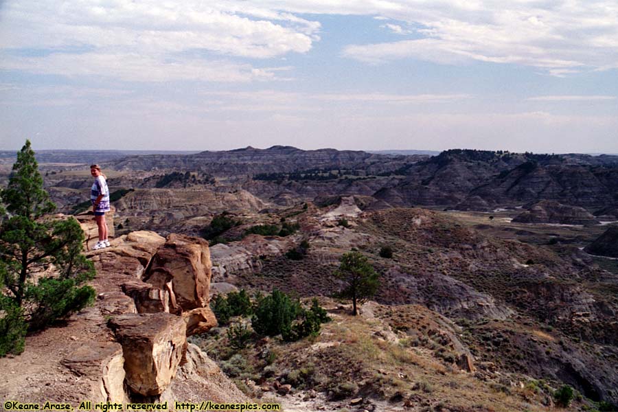
Location: Makoshika State Park, Glendive, MT Image: 47 of 113
Description: Scenic Drive
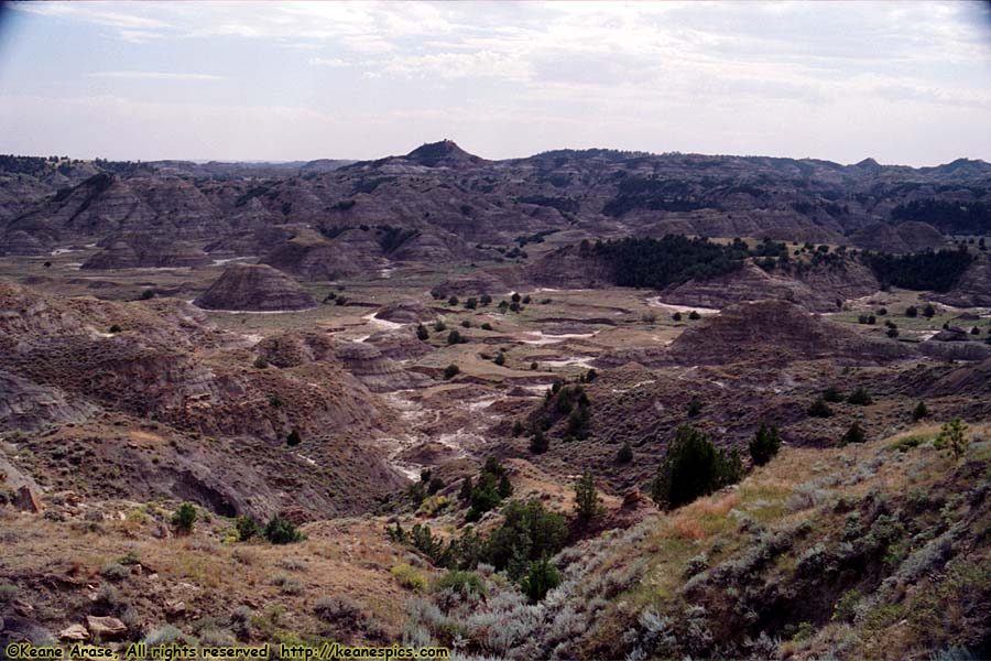
Location: Makoshika State Park, Glendive, MT Image: 48 of 113
Description: Pine-On_rocks Vista
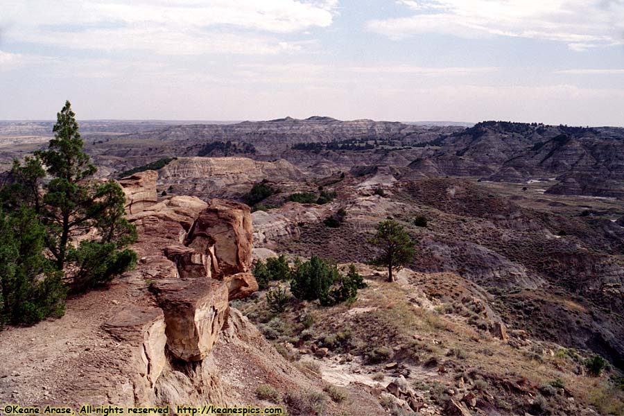
Location: Makoshika State Park, Glendive, MT Image: 49 of 113
Description: Pine-On_rocks Vista
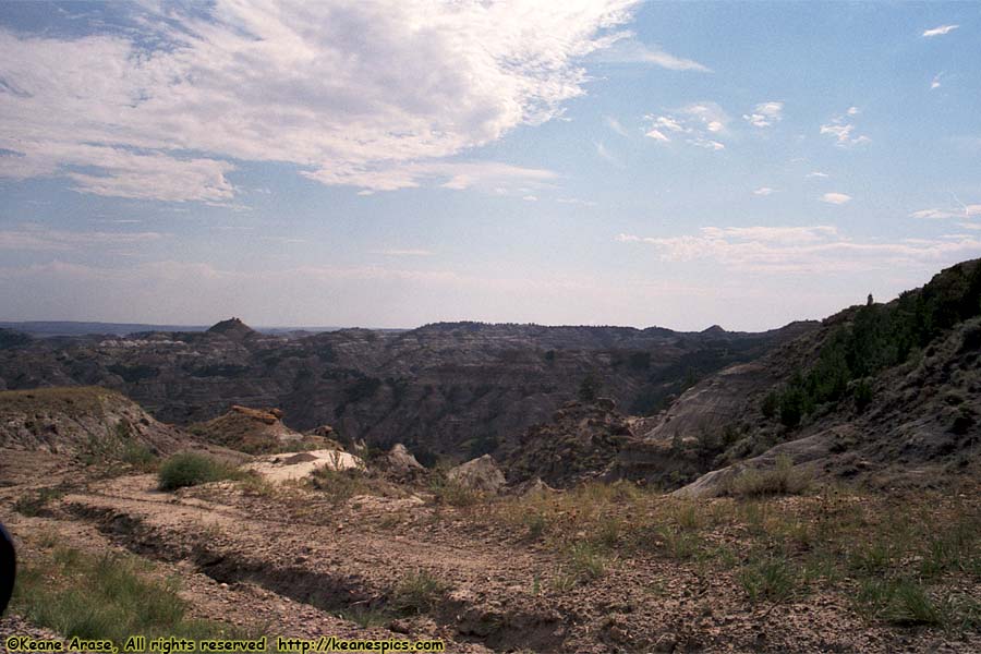
Location: Makoshika State Park, Glendive, MT Image: 50 of 113
Description: Pine-On_rocks Vista
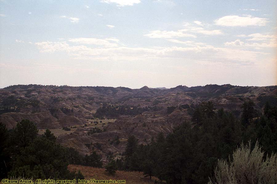
Location: Makoshika State Park, Glendive, MT Image: 51 of 113
Description: Pine-On_rocks Vista
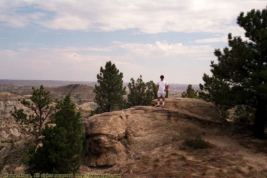
Location: Makoshika State Park, Glendive, MT Image: 52 of 113
Description: Pine-On_rocks Vista
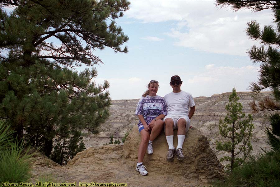
Location: Makoshika State Park, Glendive, MT Image: 53 of 113
Description: Pine-On_rocks Vista
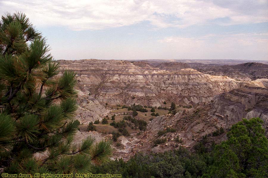
Location: Makoshika State Park, Glendive, MT Image: 54 of 113
Description: Pine-On_rocks Vista
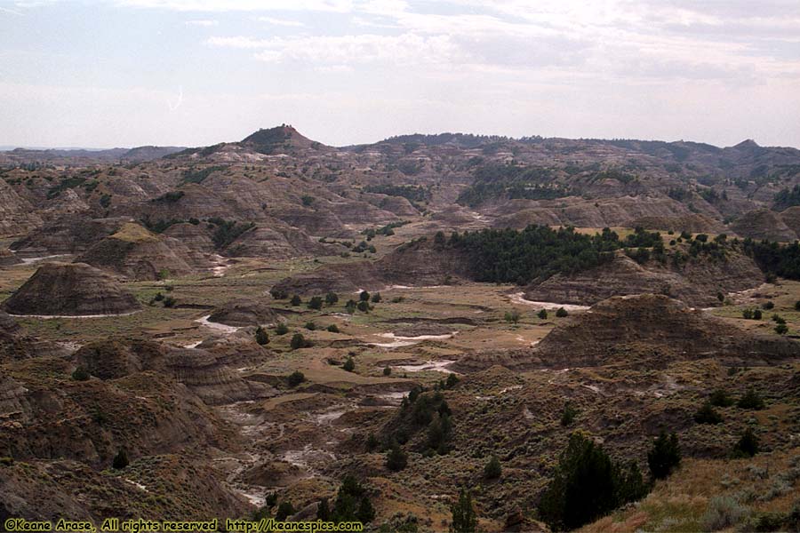
Location: Makoshika State Park, Glendive, MT Image: 55 of 113
Description: Pine-On_rocks Vista
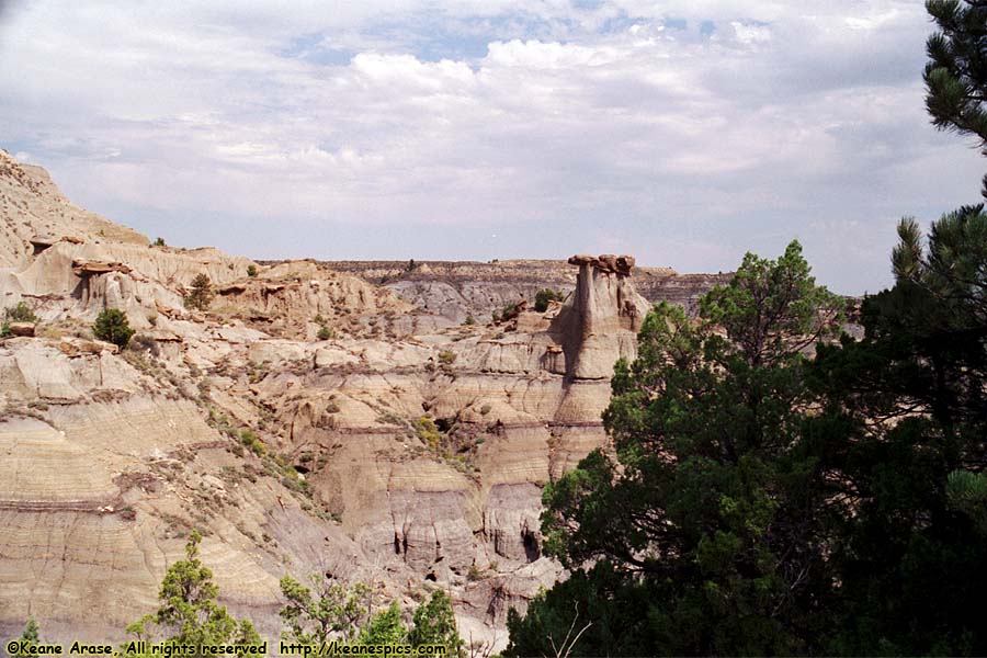
Location: Makoshika State Park, Glendive, MT Image: 56 of 113
Description: Cains Coulee Overlook
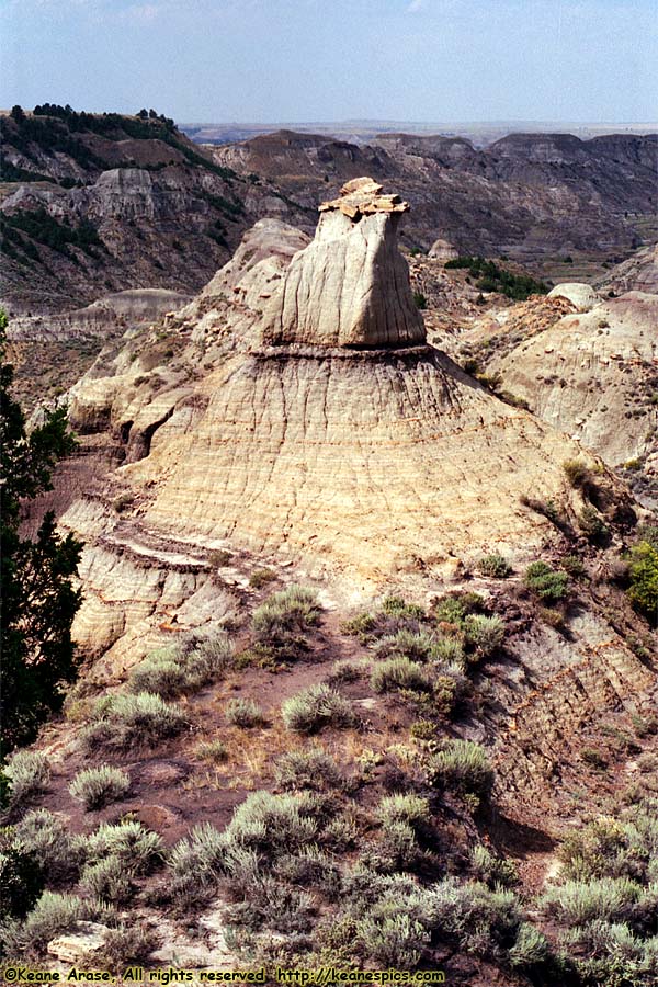
Location: Makoshika State Park, Glendive, MT Image: 57 of 113
Description: Cains Coulee Overlook
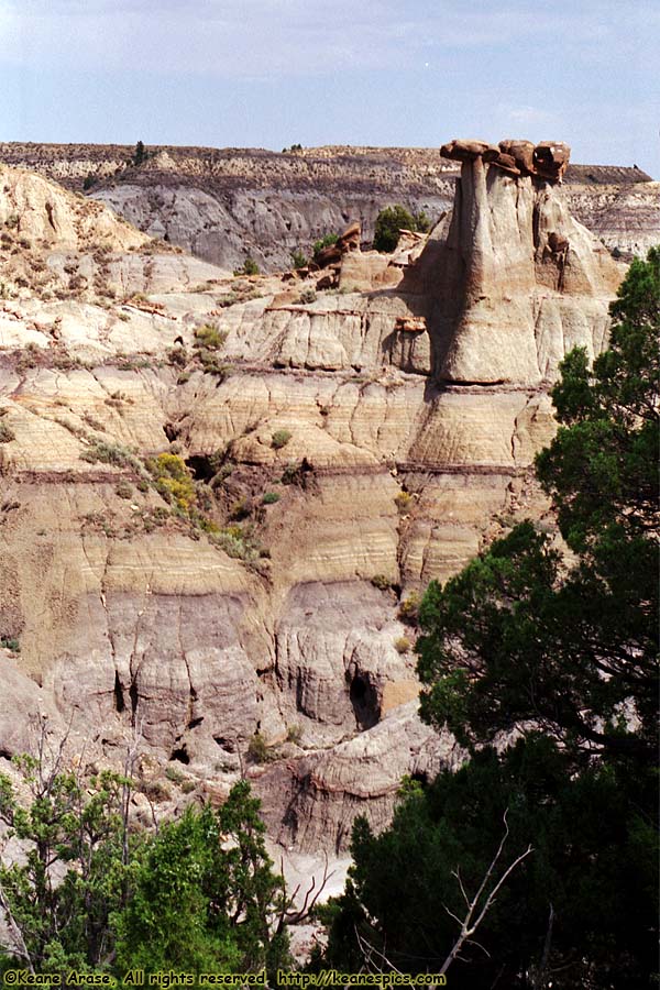
Location: Makoshika State Park, Glendive, MT Image: 58 of 113
Description: Cains Coulee Overlook
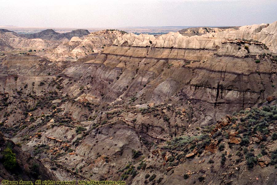
Location: Makoshika State Park, Glendive, MT Image: 59 of 113
Description: Cains Coulee Overlook
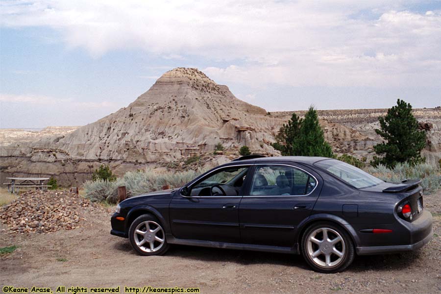
Location: Makoshika State Park, Glendive, MT Image: 60 of 113
Description: Cains Coulee Overlook
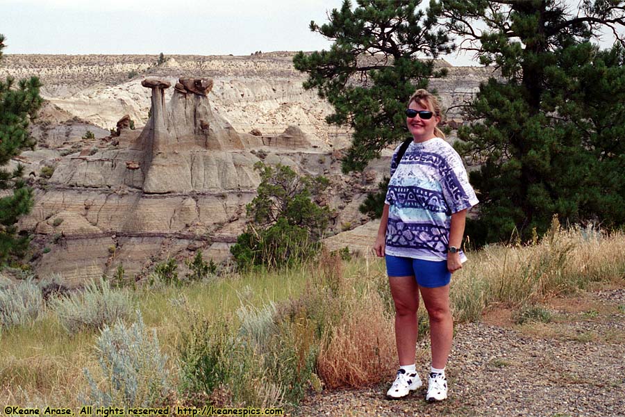
Location: Makoshika State Park, Glendive, MT Image: 61 of 113
Description: Cains Coulee Overlook
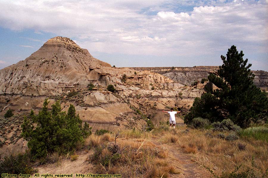
Location: Makoshika State Park, Glendive, MT Image: 62 of 113
Description: Cains Coulee Overlook
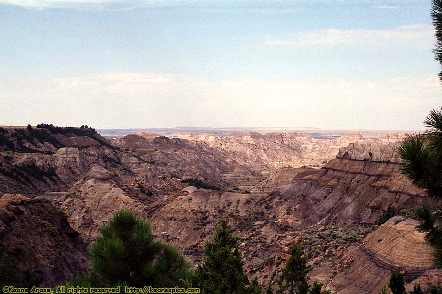
Location: Makoshika State Park, Glendive, MT Image: 63 of 113
Description: Eyeful Vista
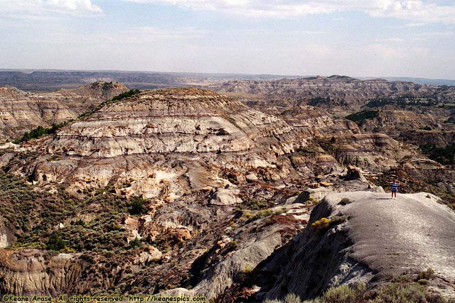
Location: Makoshika State Park, Glendive, MT Image: 64 of 113
Description: Eyeful Vista
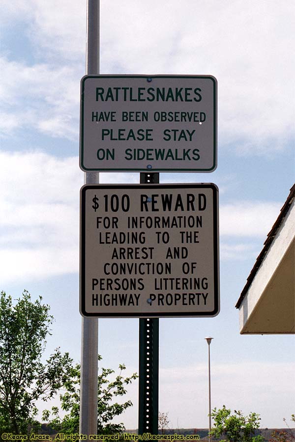
Location: OTR / I-94 Image: 65 of 113
Description: Rest Area
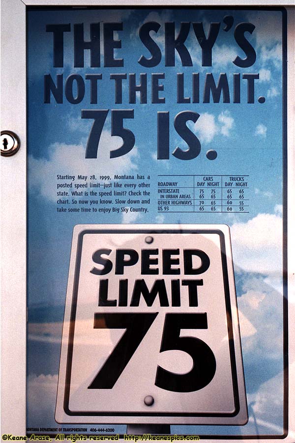
Location: OTR / I-94 Image: 66 of 113
Description: Rest Area
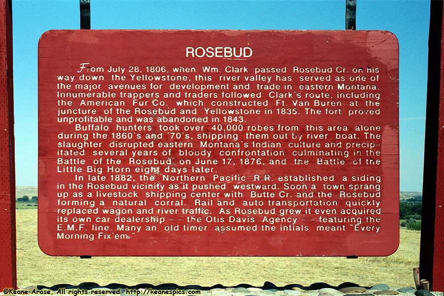
Location: OTR / I-94 Image: 67 of 113
Description: Rest Area
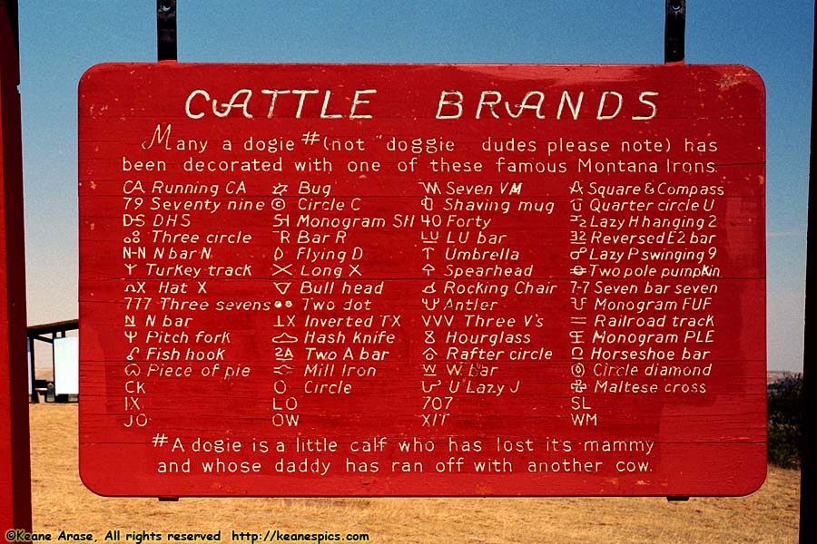
Location: OTR / I-94 Image: 68 of 113
Description: Rest Area
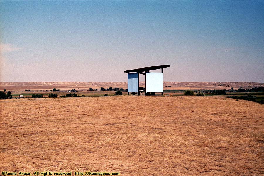
Location: OTR / I-94 Image: 69 of 113
Description: Rest Area
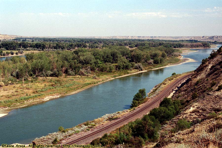
Location: OTR / I-94 Image: 70 of 113
Description: Rest Area
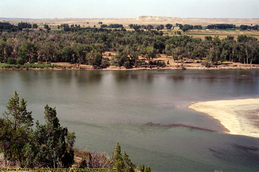
Location: OTR / I-94 Image: 71 of 113
Description: Rest Area
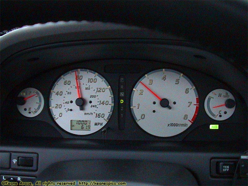
Location: OTR / I-94 Image: 72 of 113
Description: 10K miles!
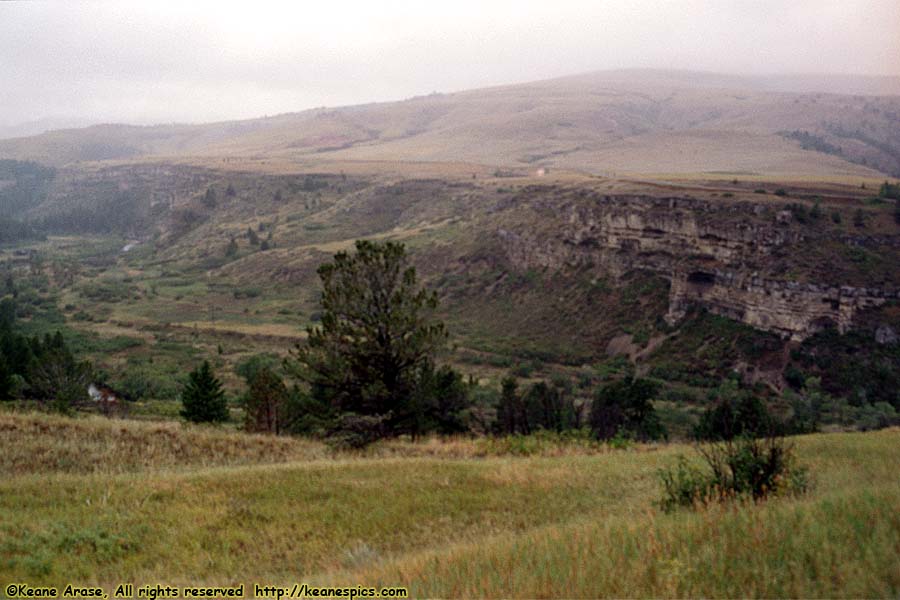
Location: Lewis and Clark National Forest Image: 73 of 113
Description: Little Belt Mountains
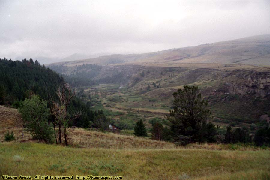
Location: Lewis and Clark National Forest Image: 74 of 113
Description: Little Belt Mountains
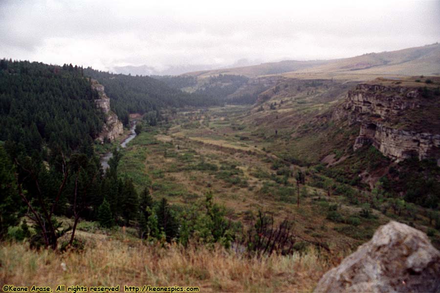
Location: Lewis and Clark National Forest Image: 75 of 113
Description: Little Belt Mountains
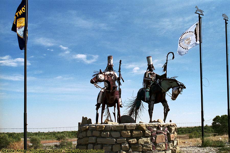
Location: Blackfeet Indian Reservation Image: 76 of 113
Description: Sculpture
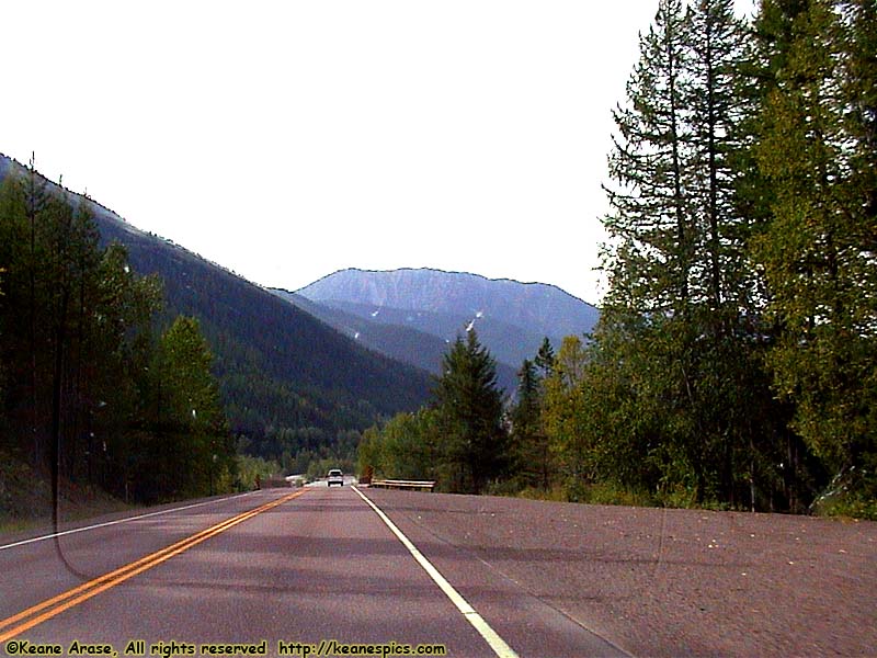
Location: US-2 Image: 77 of 113
Description: Along US-2
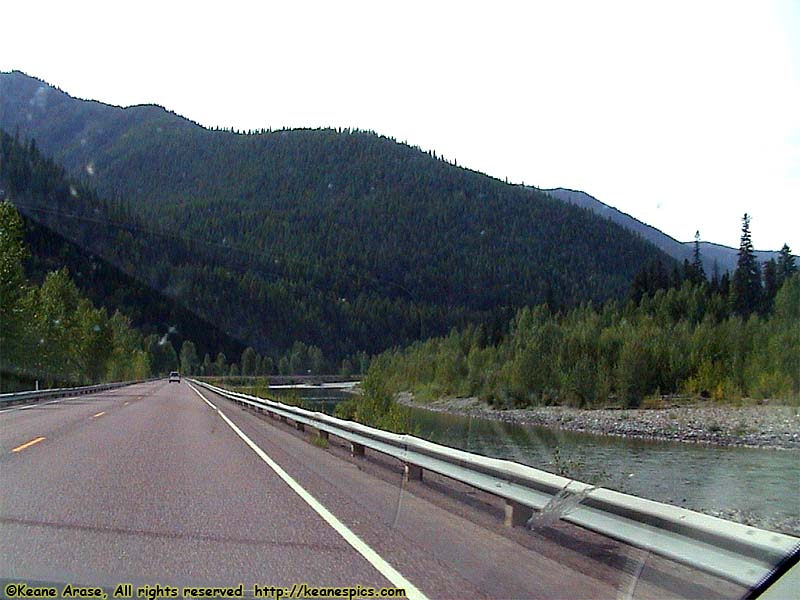
Location: US-2 Image: 78 of 113
Description: Along US-2
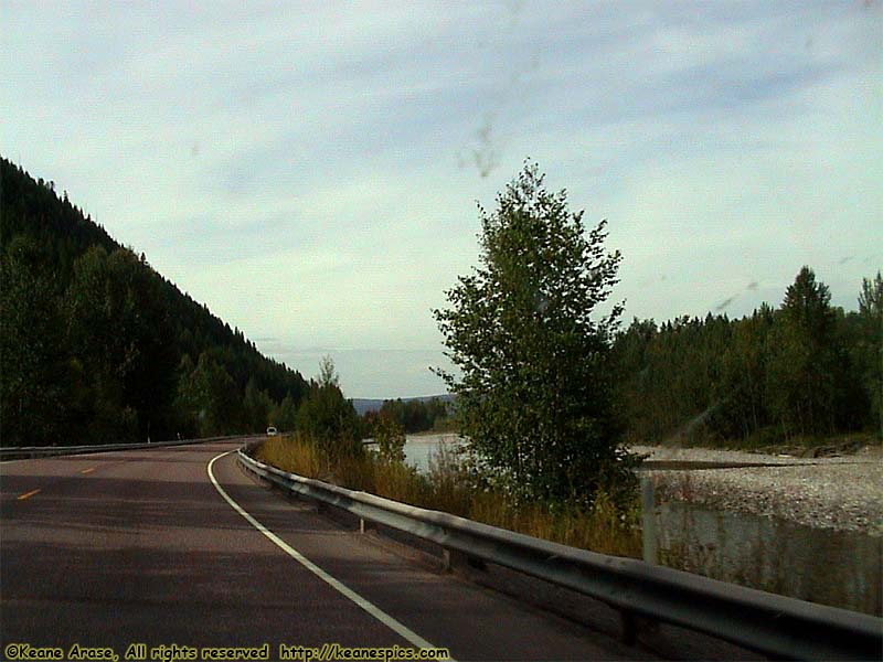
Location: US-2 Image: 79 of 113
Description: Along US-2
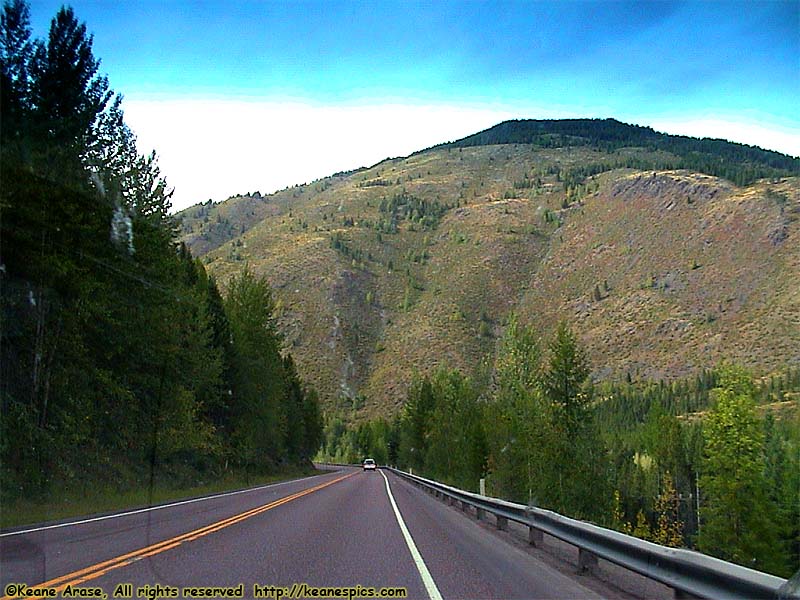
Location: US-2 Image: 80 of 113
Description: Along US-2
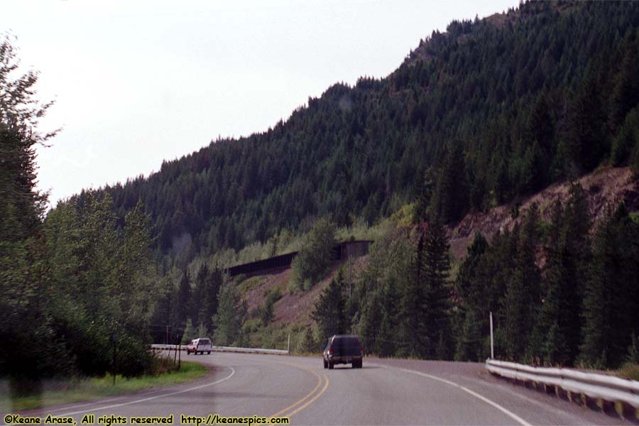
Location: US-2 Image: 81 of 113
Description: Covered Rail
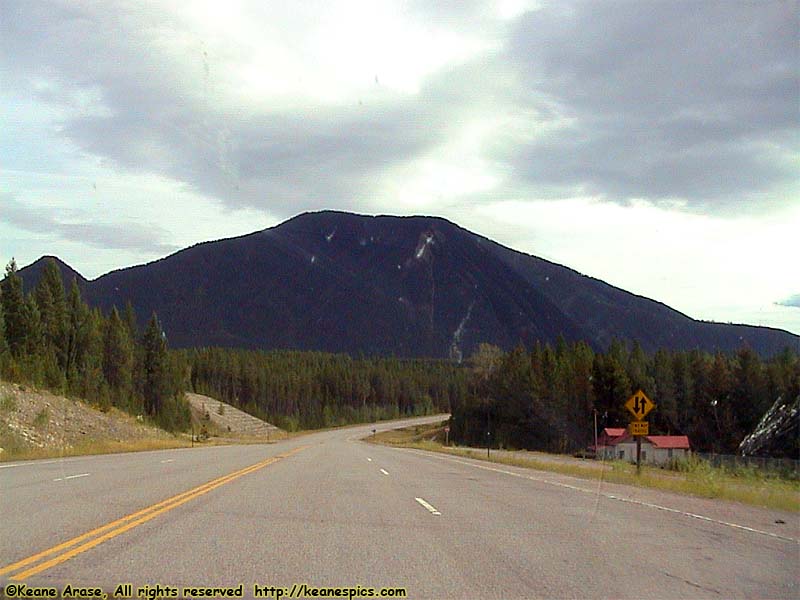
Location: US-2 Image: 82 of 113
Description: Along US-2
Location: US-2 Image: 83 of 113
Description: Along US-2
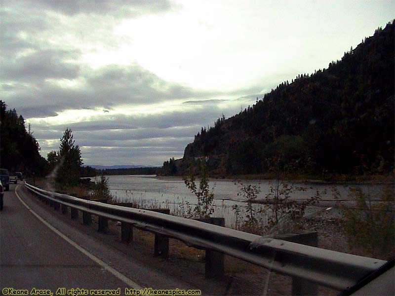
Location: US-2 Image: 84 of 113
Description: Along US-2
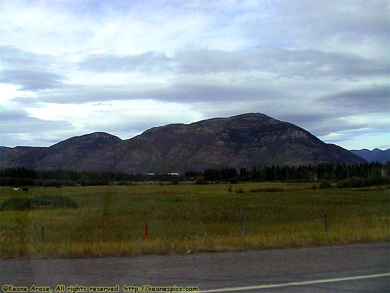
Location: US-2 Image: 85 of 113
Description: Along US-2
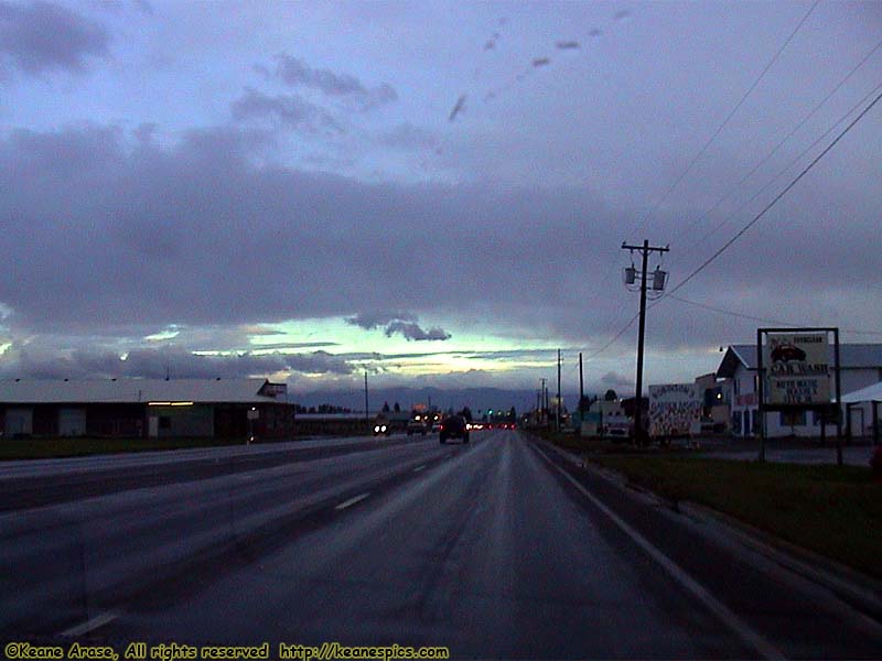
Location: US-2, Kalispell, MT Image: 86 of 113
Description: Sunrise
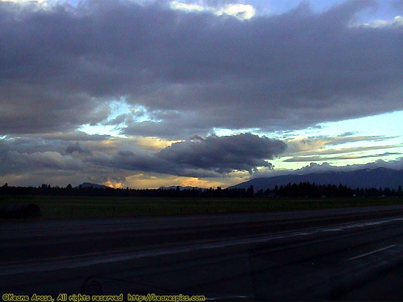
Location: US-2 Image: 87 of 113
Description: Sunrise
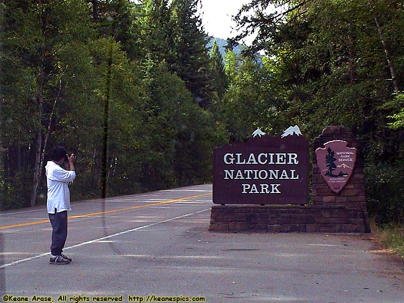
Location: Glacier National Park Image: 88 of 113
Description: Sign
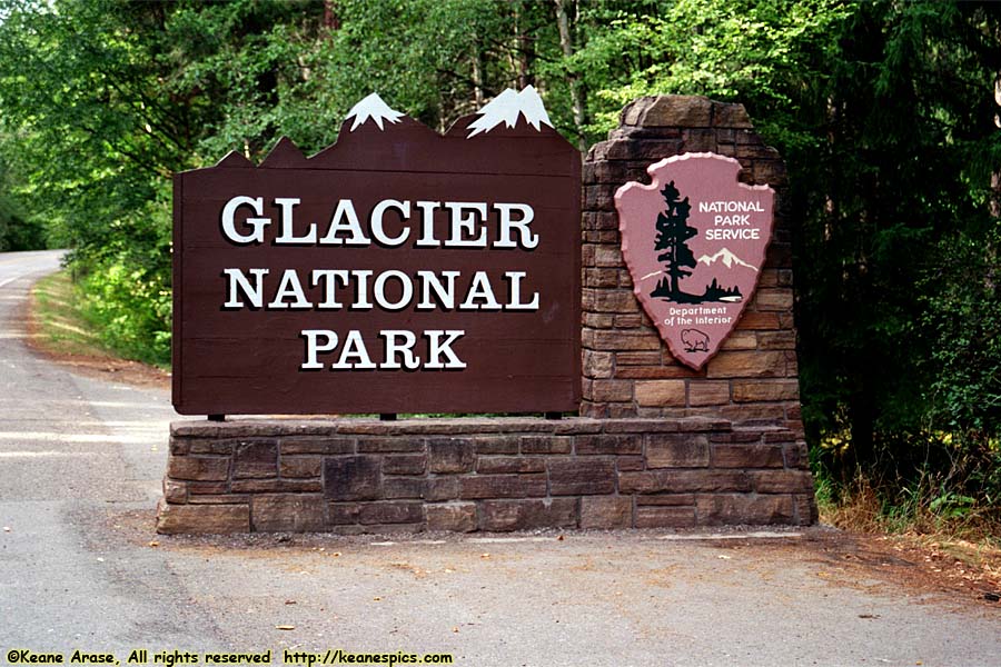
Location: Glacier National Park Image: 89 of 113
Description: Sign
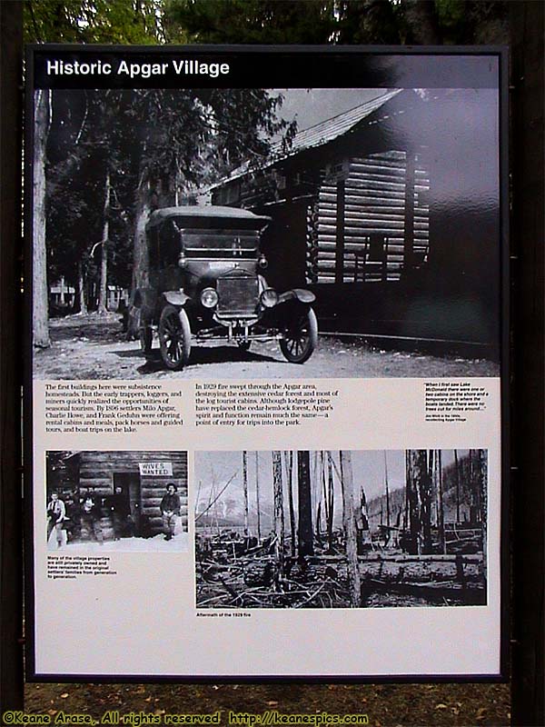
Location: Glacier National Park Image: 90 of 113
Description: Apgar Village Sign
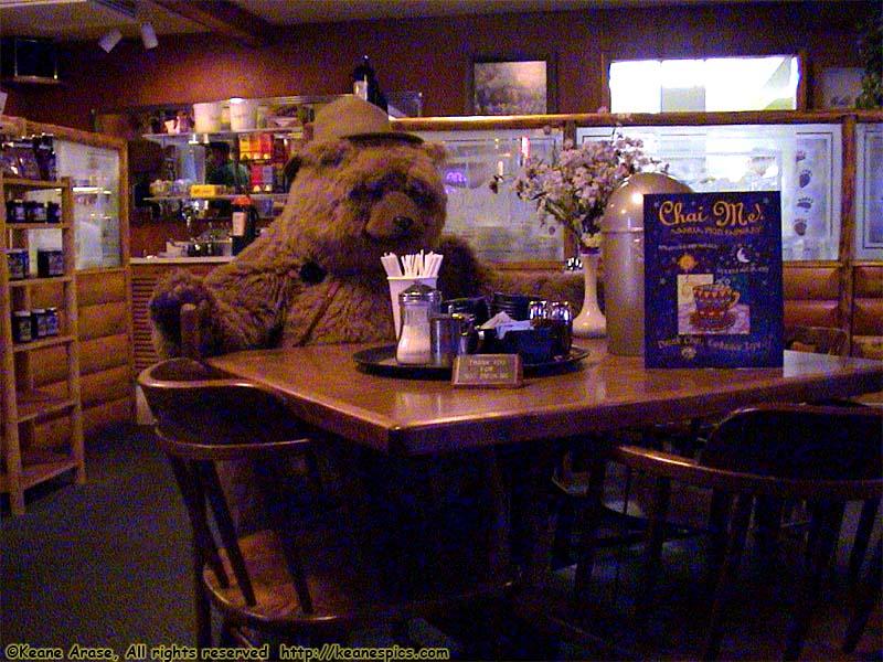
Location: Glacier National Park Image: 91 of 113
Description: Eddie's Restaurant, Apgar Village

Location: Glacier National Park Image: 92 of 113
Description: Apgar Village
Location: Glacier National Park Image: 93 of 113
Description: Apgar Village
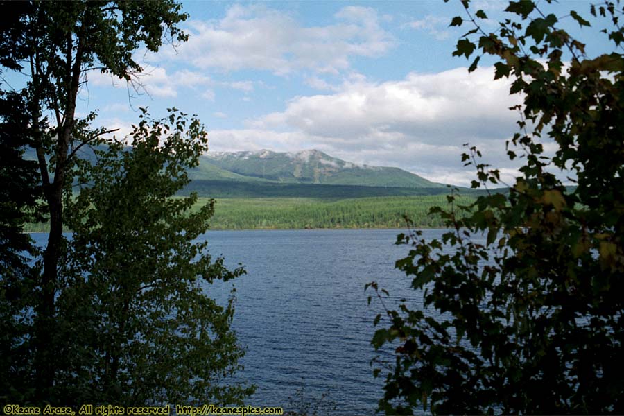
Location: Glacier National Park Image: 94 of 113
Description: Going to the Sun Road
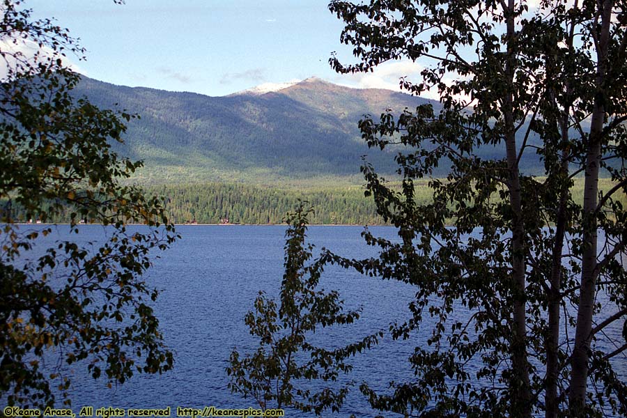
Location: Glacier National Park Image: 95 of 113
Description: Going to the Sun Road
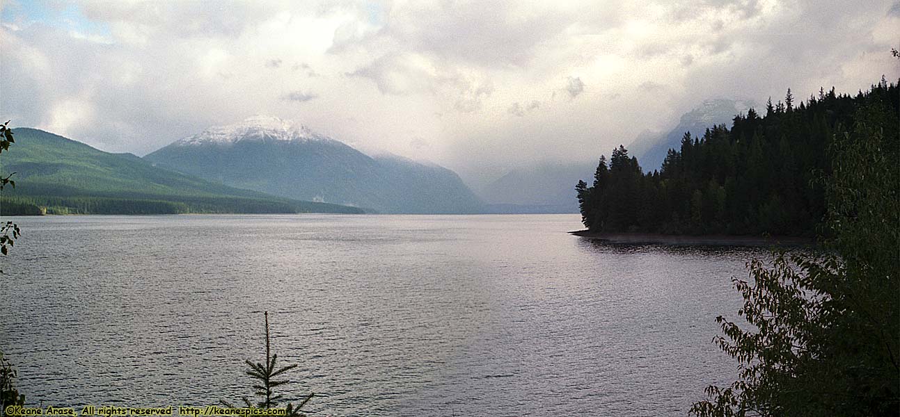
Location: Glacier National Park Image: 96 of 113
Description: Going to the Sun Road
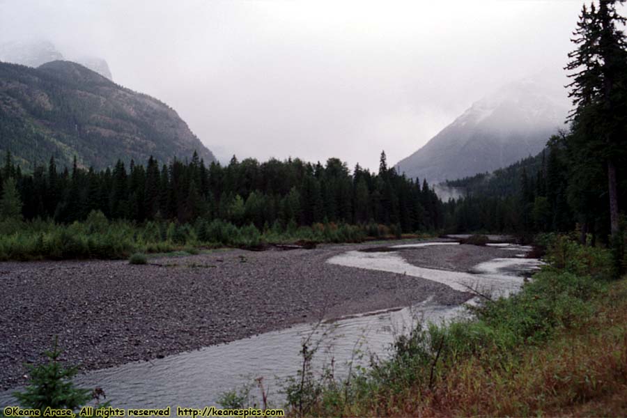
Location: Glacier National Park Image: 97 of 113
Description: Going to the Sun Road
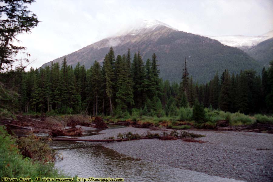
Location: Glacier National Park Image: 98 of 113
Description: Going to the Sun Road
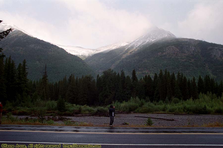
Location: Glacier National Park Image: 99 of 113
Description: Going to the Sun Road
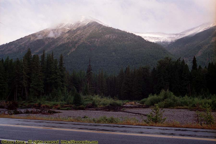
Location: Glacier National Park Image: 100 of 113
Description: Going to the Sun Road
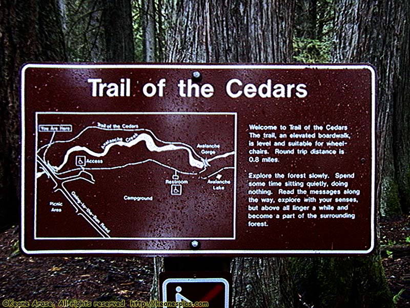
Location: Glacier National Park Image: 101 of 113
Description: Trail of the Cedars
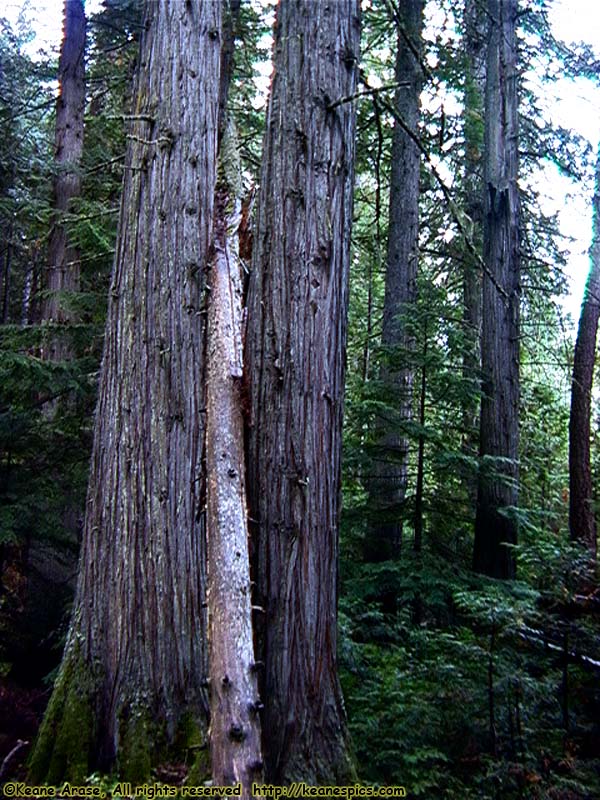
Location: Glacier National Park Image: 102 of 113
Description: Trail of the Cedars
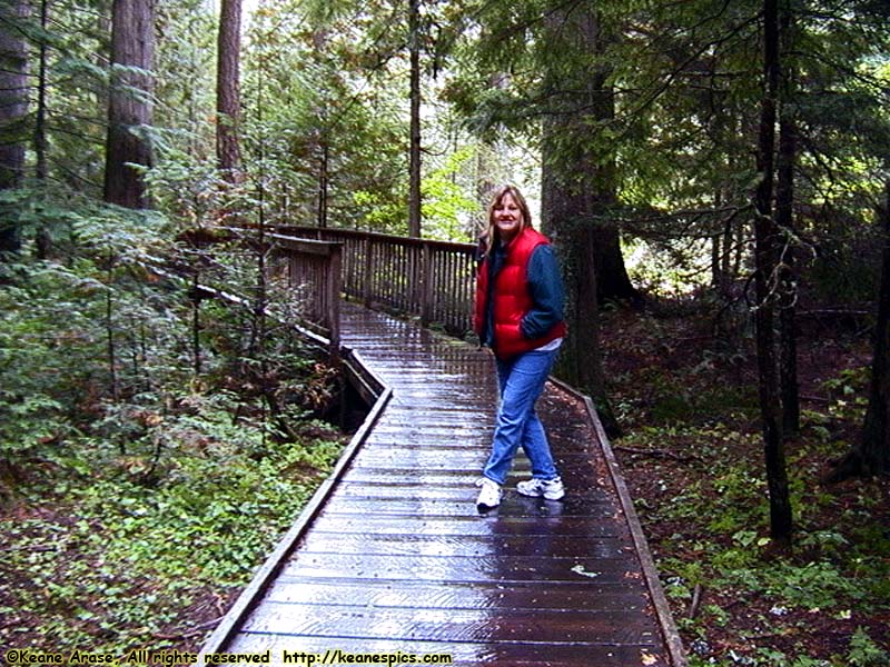
Location: Glacier National Park Image: 103 of 113
Description: Trail of the Cedars
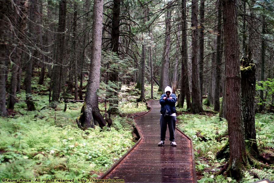
Location: Glacier National Park Image: 104 of 113
Description: Trail of the Cedars
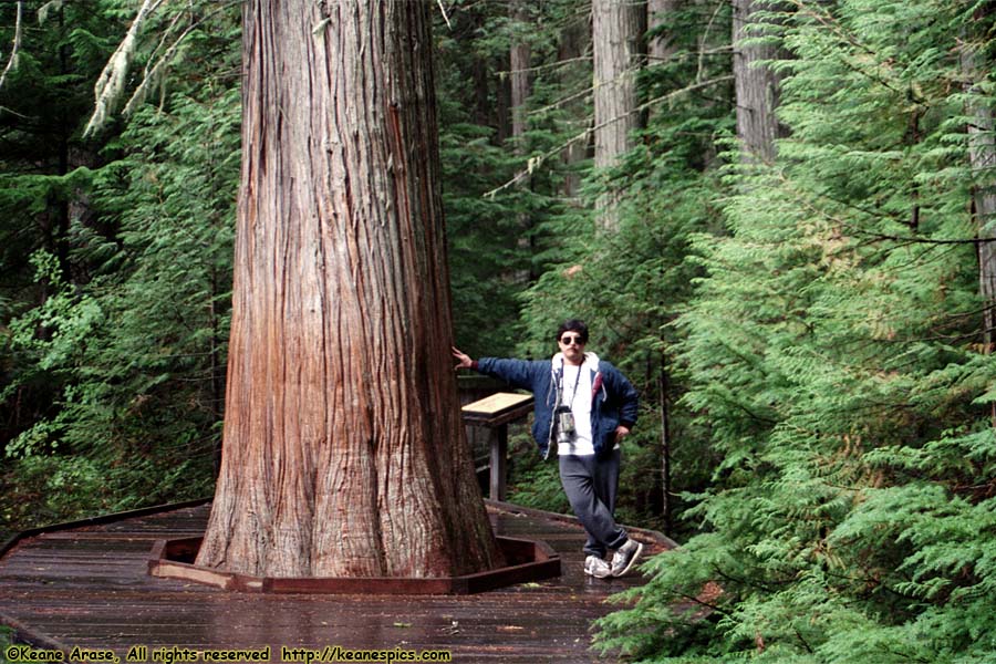
Location: Glacier National Park Image: 105 of 113
Description: Trail of the Cedars
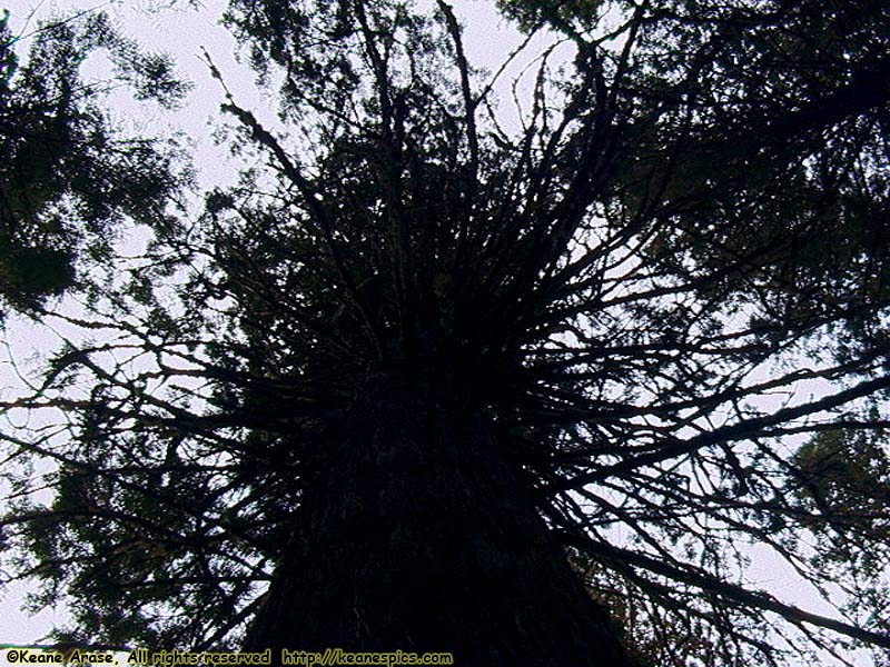
Location: Glacier National Park Image: 106 of 113
Description: Trail of the Cedars
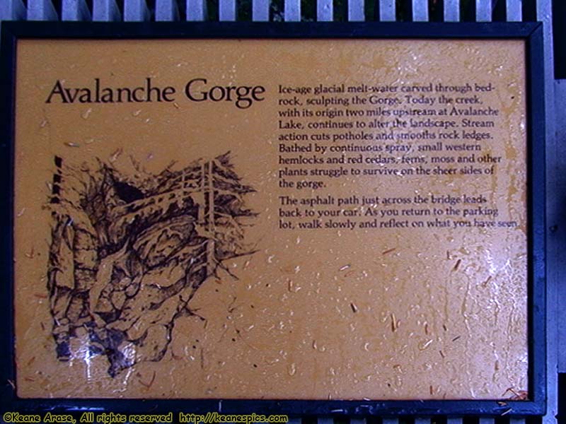
Location: Glacier National Park Image: 107 of 113
Description: Trail of the Cedars
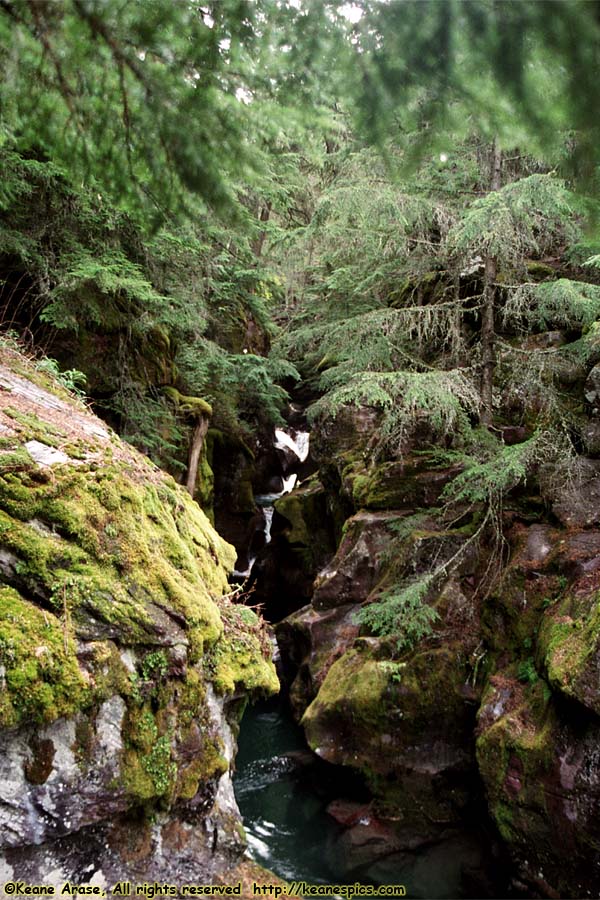
Location: Glacier National Park Image: 108 of 113
Description: Trail of the Cedars
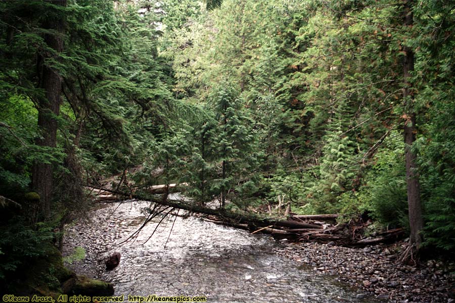
Location: Glacier National Park Image: 109 of 113
Description: Trail of the Cedars
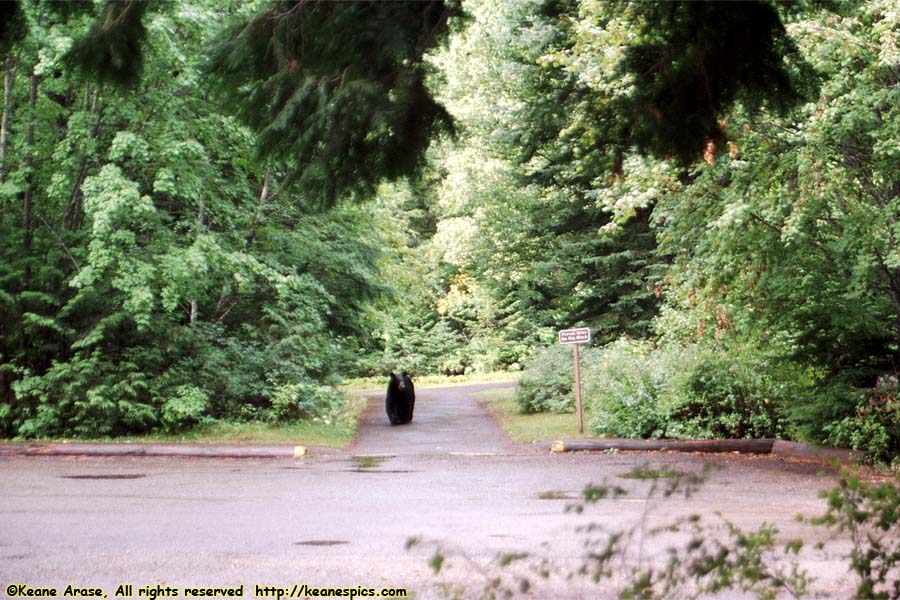
Location: Glacier National Park Image: 110 of 113
Description: Trail of the Cedars
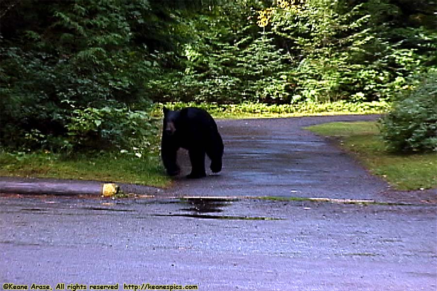
Location: Glacier National Park Image: 111 of 113
Description: Trail of the Cedars
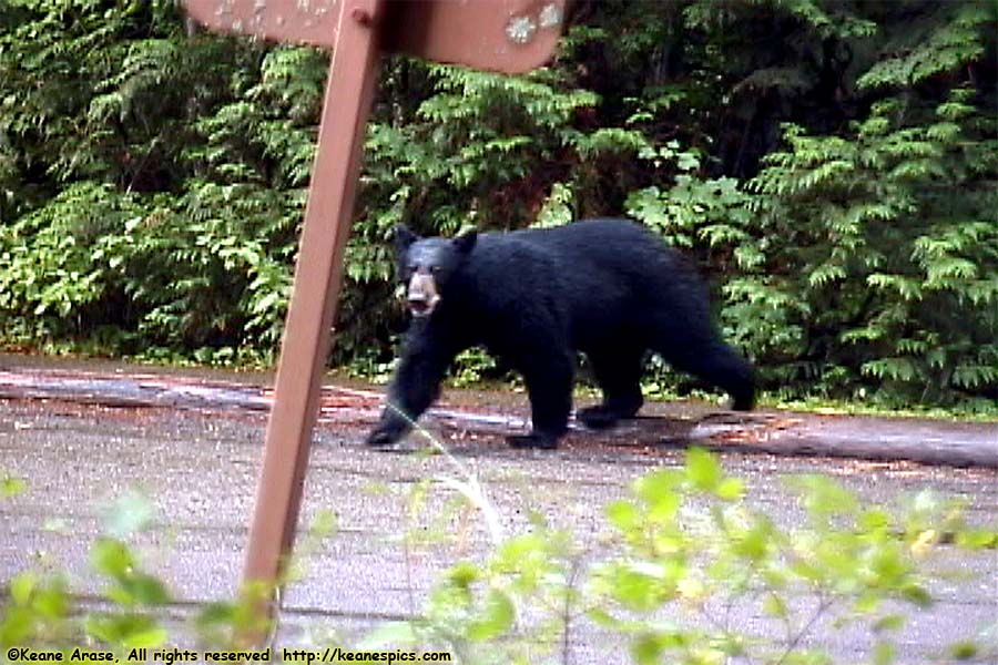
Location: Glacier National Park Image: 112 of 113
Description: Trail of the Cedars
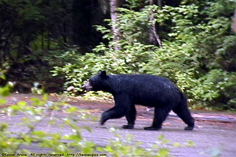
Location: Glacier National Park Image: 113 of 113
Description: Trail of the Cedars