 Previous image
Next image
Return to 1998 West Vacation 5
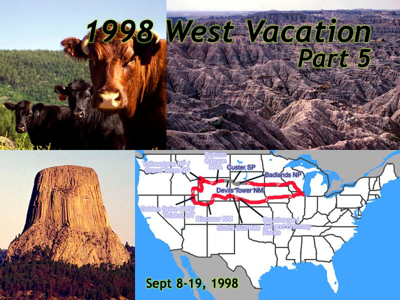
Location: 1998 West Vacation 5 Image: 1 of 114
Description: Title Card
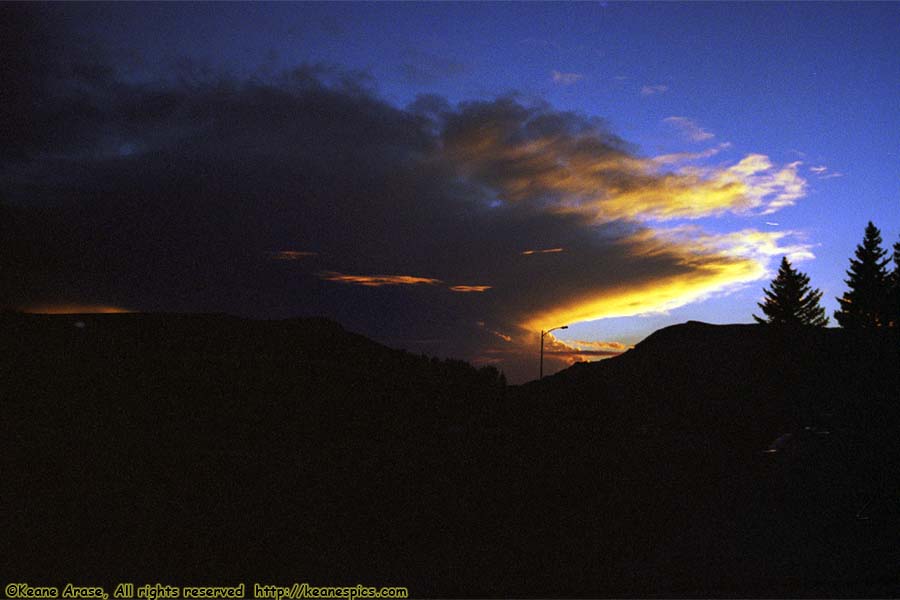
Location: Cody, Wyoming Image: 2 of 114
Description: Sunset
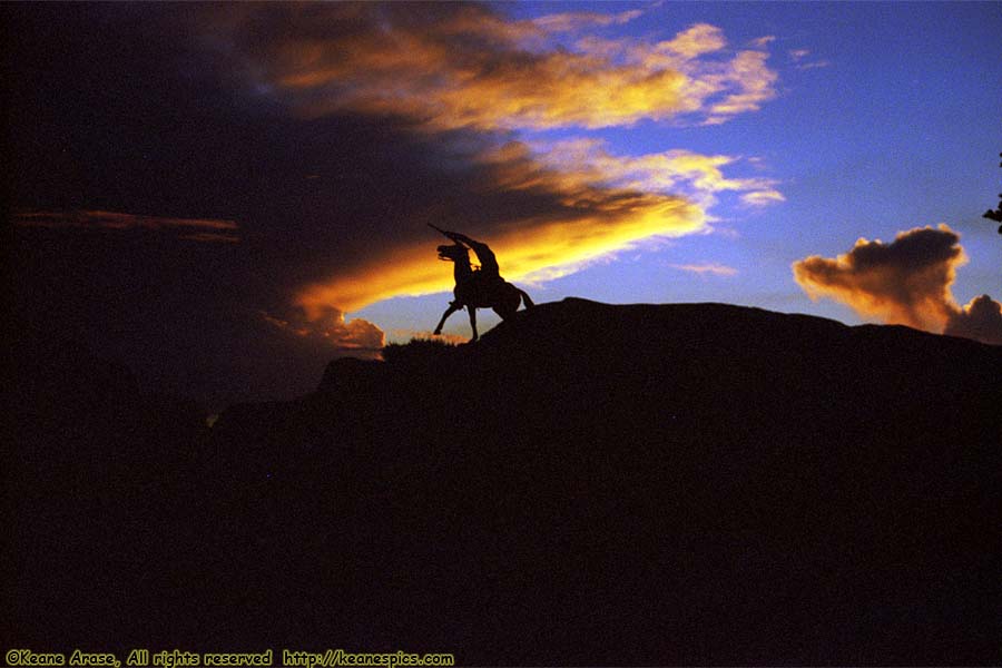
Location: Cody, Wyoming Image: 3 of 114
Description: Sunset
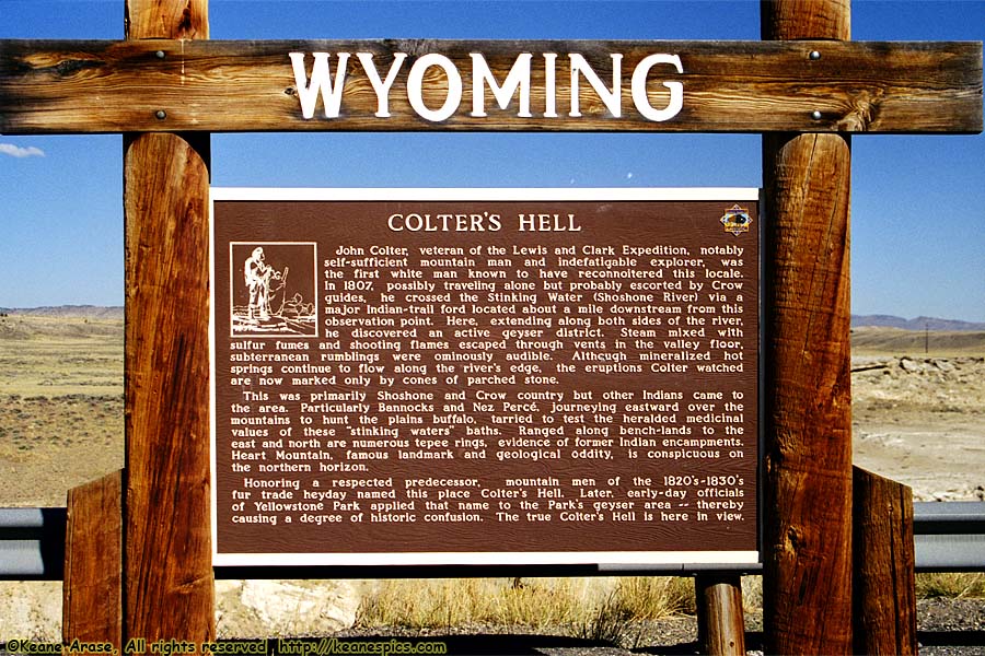
Location: Cody, Wyoming Image: 4 of 114
Description: Colter's Hell
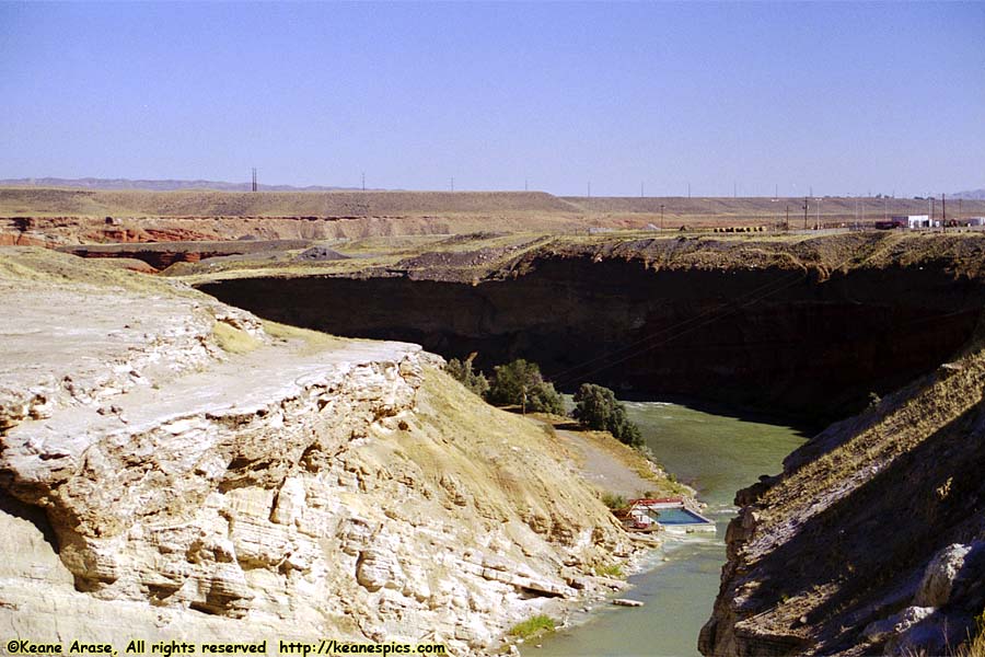
Location: Shoshone Canyon, Wyoming Image: 5 of 114
Description: Shoshone Canyon
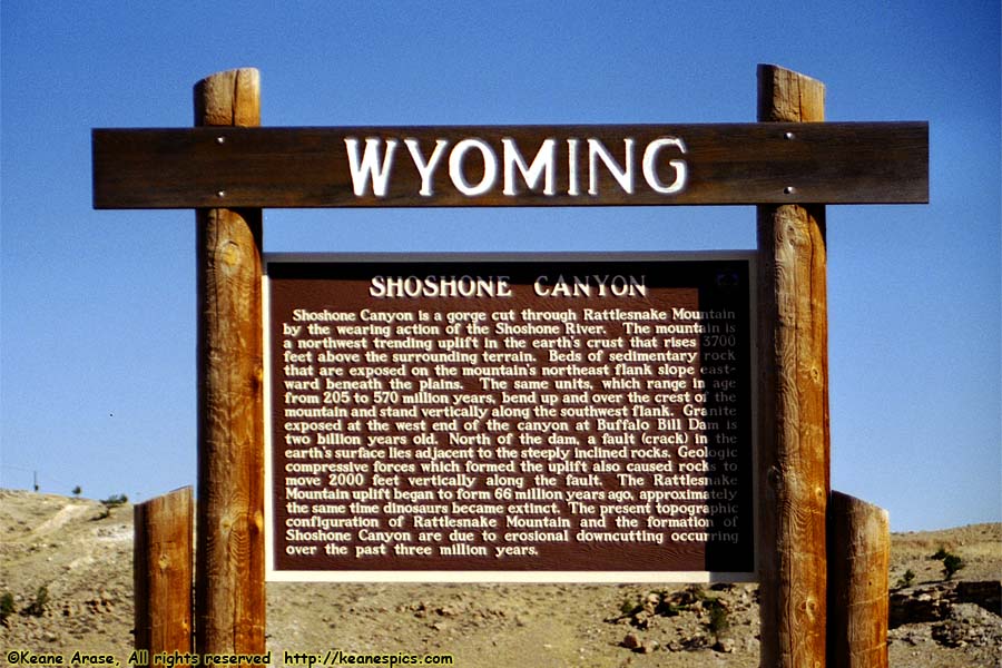
Location: Shoshone Canyon, Wyoming Image: 6 of 114
Description: Shoshone Canyon
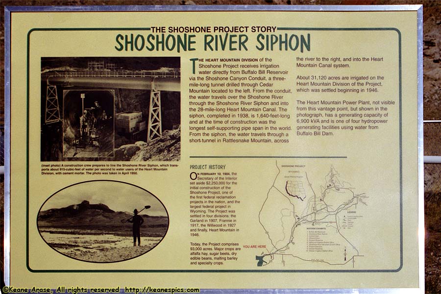
Location: Shoshone Canyon, Wyoming Image: 7 of 114
Description: Shoshone Canyon
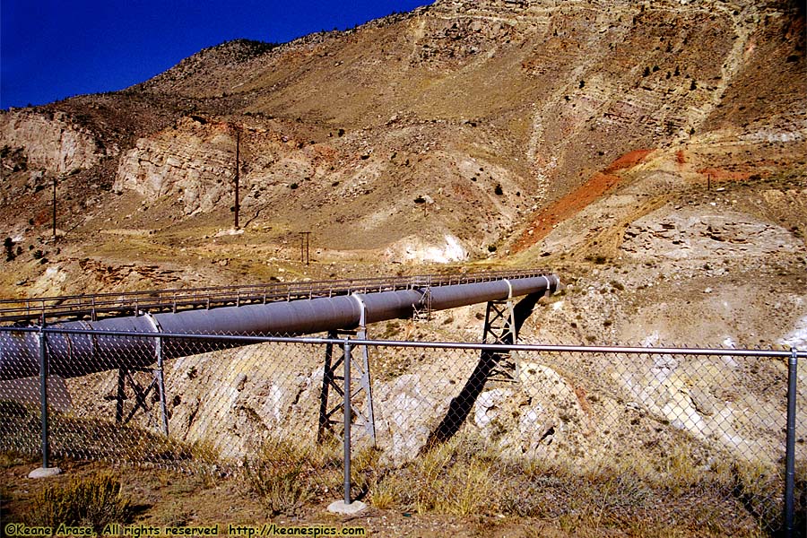
Location: Shoshone Canyon, Wyoming Image: 8 of 114
Description: Conduit
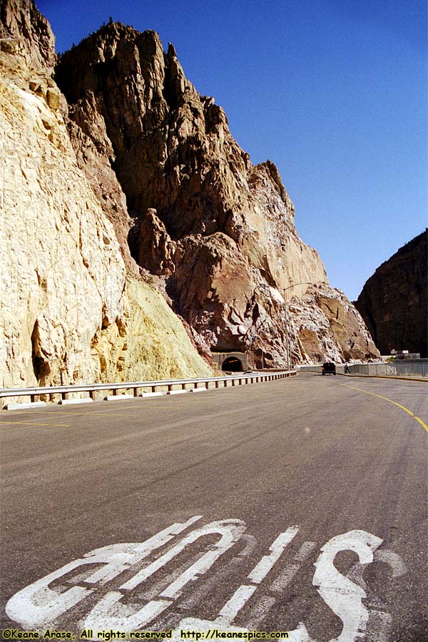
Location: Shoshone Canyon, Wyoming Image: 9 of 114
Description: Tunnel
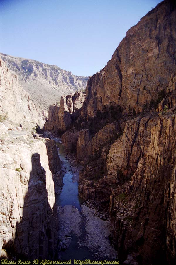
Location: Shoshone Canyon, Wyoming Image: 10 of 114
Description: Shoshone Canyon
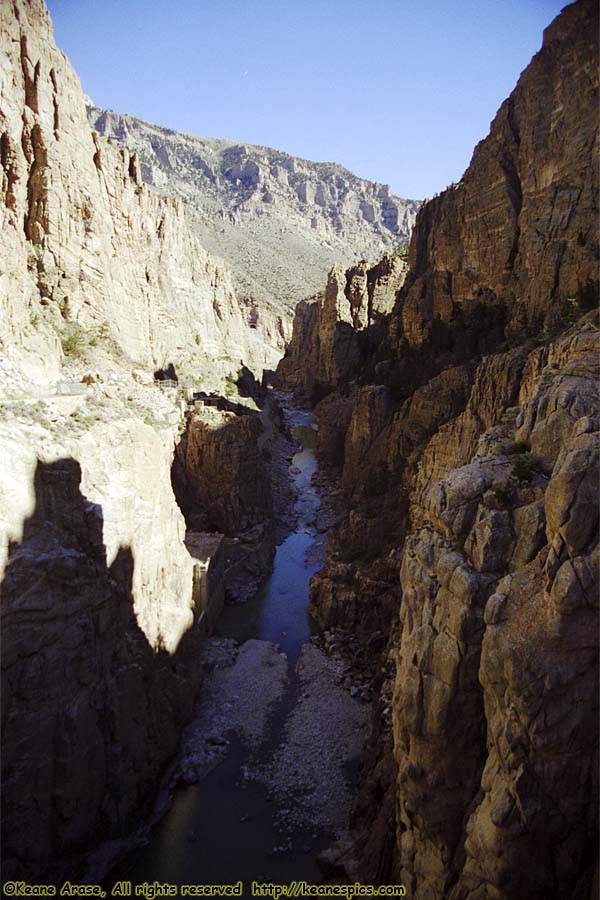
Location: Shoshone Canyon, Wyoming Image: 11 of 114
Description: Shoshone Canyon
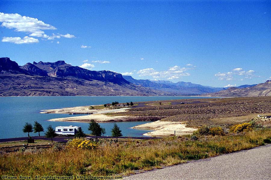
Location: Buffalo Bill Reservoir, Wyoming Image: 12 of 114
Description: Buffalo Bill Reservoir
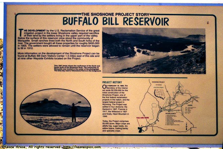
Location: Buffalo Bill Reservoir, Wyoming Image: 13 of 114
Description: Buffalo Bill Reservoir
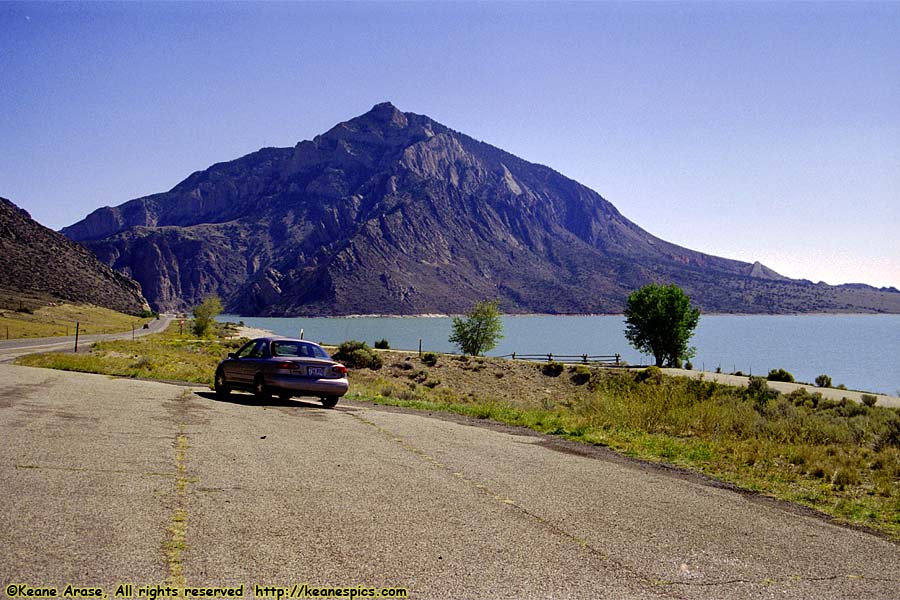
Location: Buffalo Bill Reservoir, Wyoming Image: 14 of 114
Description: Buffalo Bill Reservoir
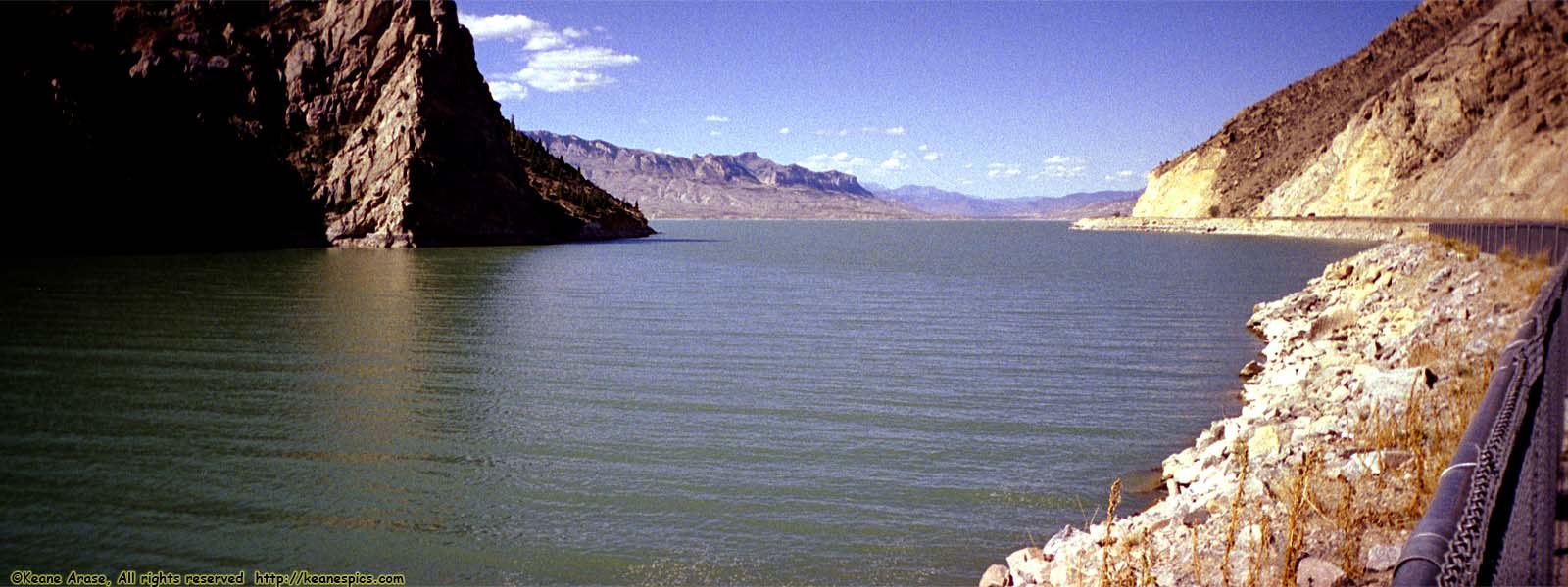
Location: Buffalo Bill Reservoir, Wyoming Image: 15 of 114
Description: Buffalo Bill Reservoir
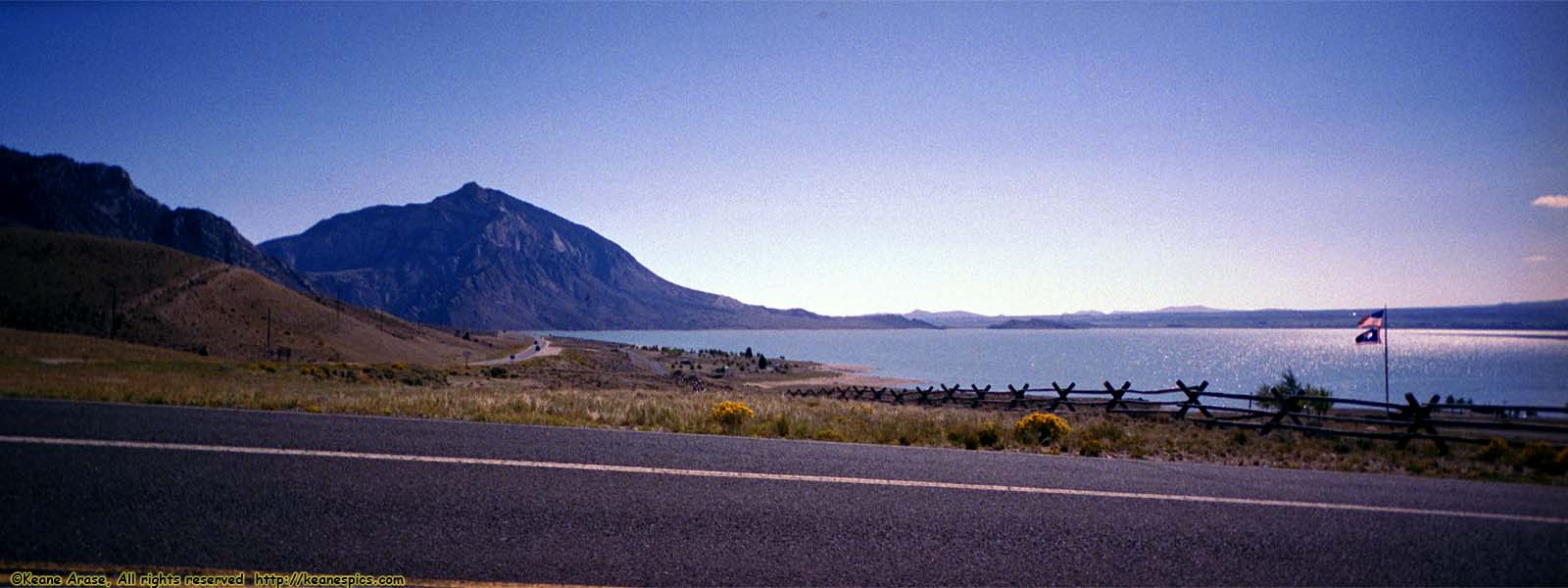
Location: Buffalo Bill Reservoir, Wyoming Image: 16 of 114
Description: Buffalo Bill Reservoir
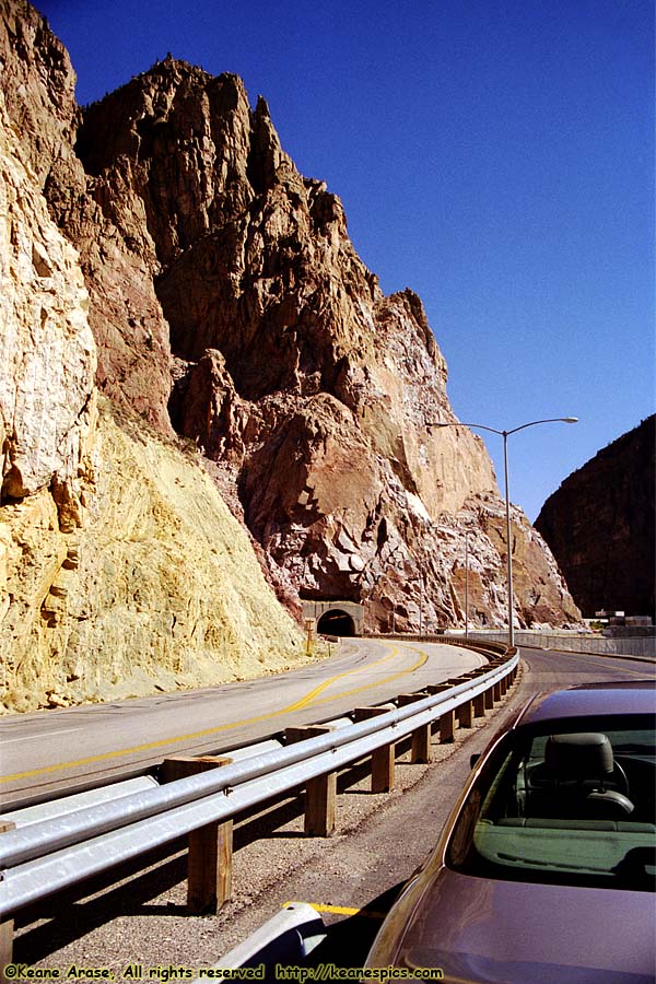
Location: Along US-14/16/20, Wyoming Image: 17 of 114
Description: Tunnel
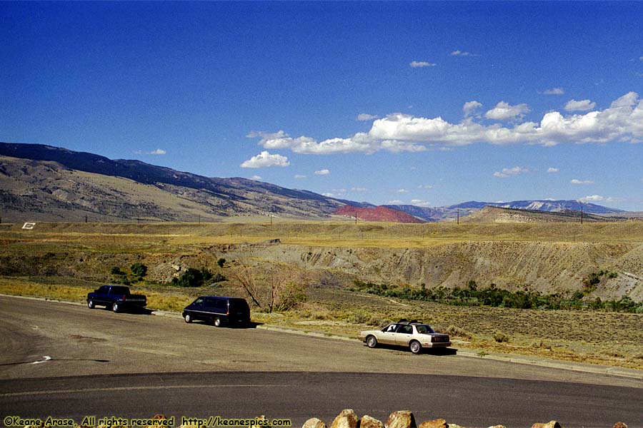
Location: Along US-14/16/20, Wyoming Image: 18 of 114
Description: Along US-14/16/20
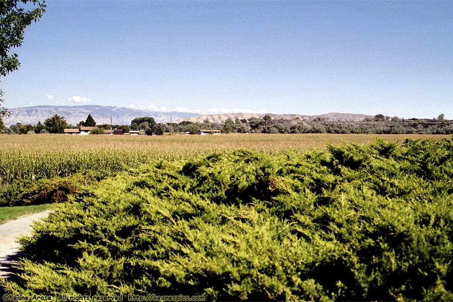
Location: Bighorn Canyon NRA Visitor Center Image: 19 of 114
Description: Bighorn Mountains
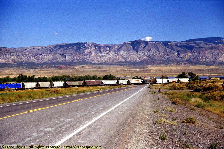
Location: Bighorn Canyon NRA Image: 20 of 114
Description: Bighorn Mountains
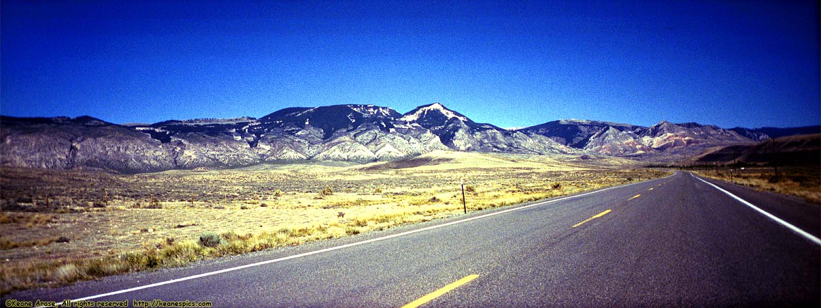
Location: Bighorn Canyon NRA Image: 21 of 114
Description: Bighorn Mountains
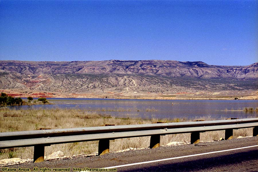
Location: Bighorn Canyon NRA Image: 22 of 114
Description: Bighorn Lake
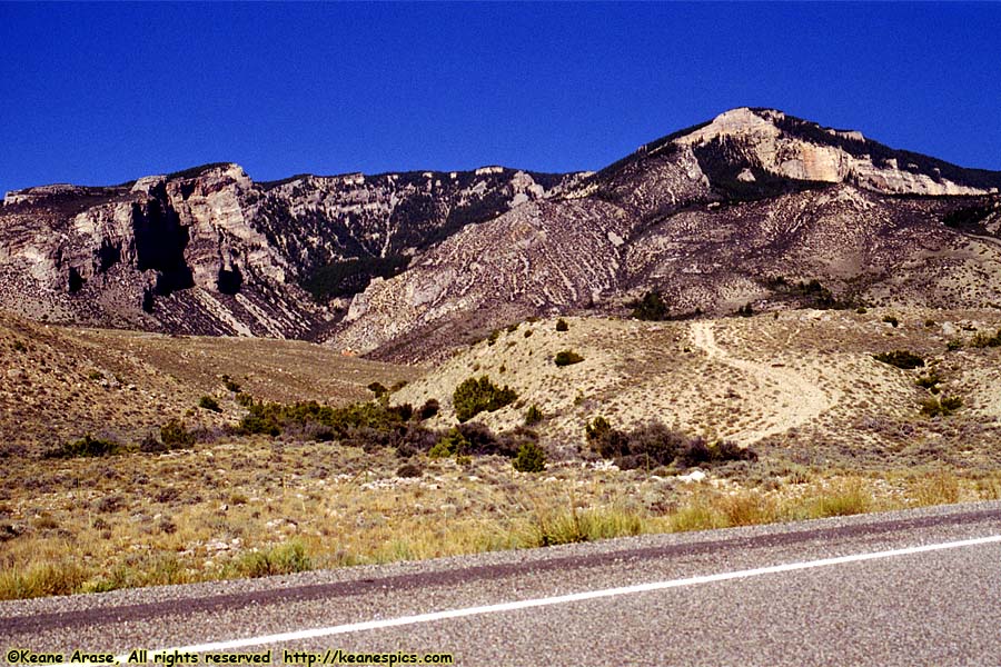
Location: Bighorn Canyon NRA Image: 23 of 114
Description: Medicine / Bald Mountain
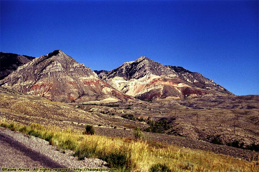
Location: Bighorn Canyon NRA Image: 24 of 114
Description: Bald Mountain
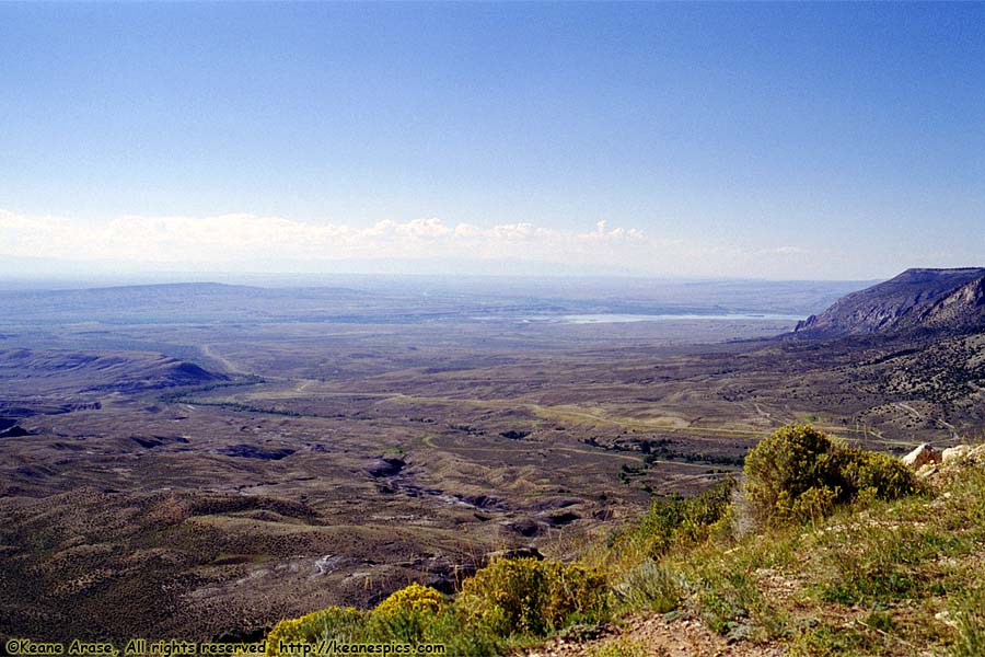
Location: Bighorn Canyon NRA Image: 25 of 114
Description: Along US-14A
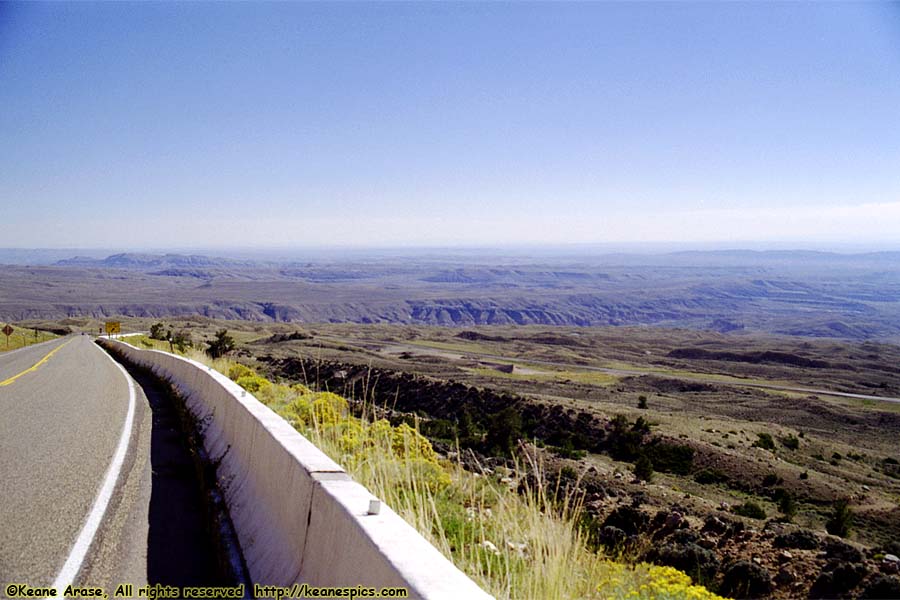
Location: Bighorn Canyon NRA Image: 26 of 114
Description: Along US-14A
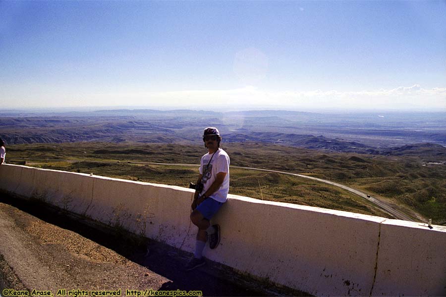
Location: Bighorn Canyon NRA Image: 27 of 114
Description: Along US-14A
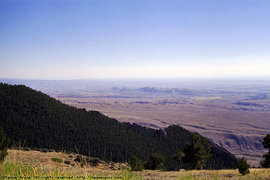
Location: Bighorn Canyon NRA Image: 28 of 114
Description: Along US-14A
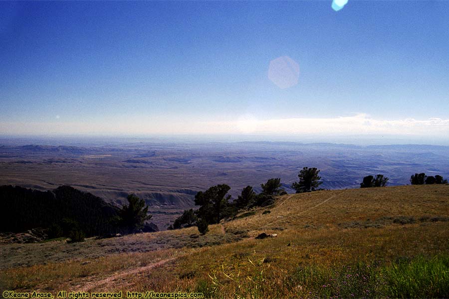
Location: Bighorn Canyon NRA Image: 29 of 114
Description: Along US-14A
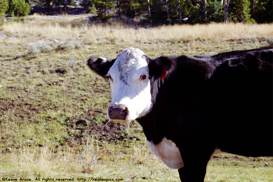
Location: Along US-14A, Wyoming Image: 30 of 114
Description: Dumb Food Animal
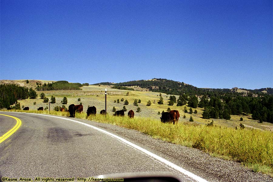
Location: Along US-14A, Wyoming Image: 31 of 114
Description: Dumb Food Animal
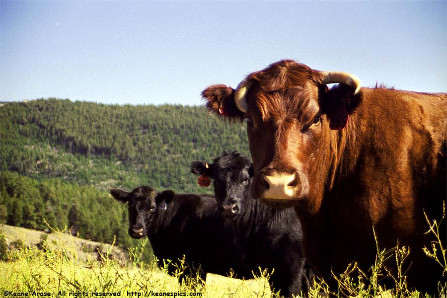
Location: Along US-14A, Wyoming Image: 32 of 114
Description: Dumb Food Animal
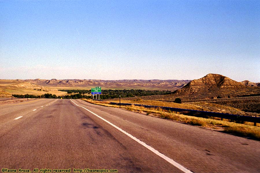
Location: Along I-90, Wyoming Image: 33 of 114
Description: Along I-90
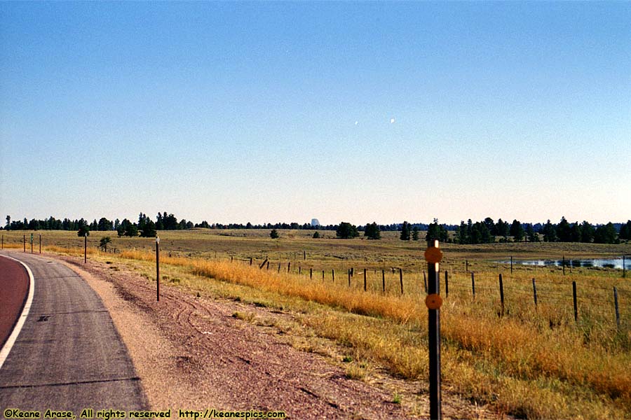
Location: SR-24, Wyoming Image: 34 of 114
Description: Devil's Tower
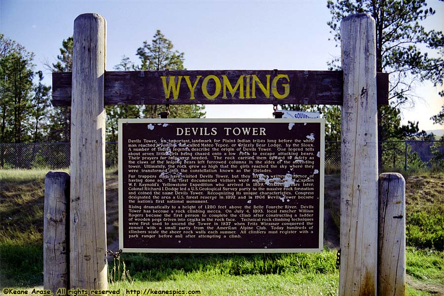
Location: SR-24, Wyoming Image: 35 of 114
Description: Devil's Tower
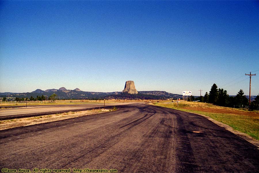
Location: SR-24, Wyoming Image: 36 of 114
Description: Devil's Tower
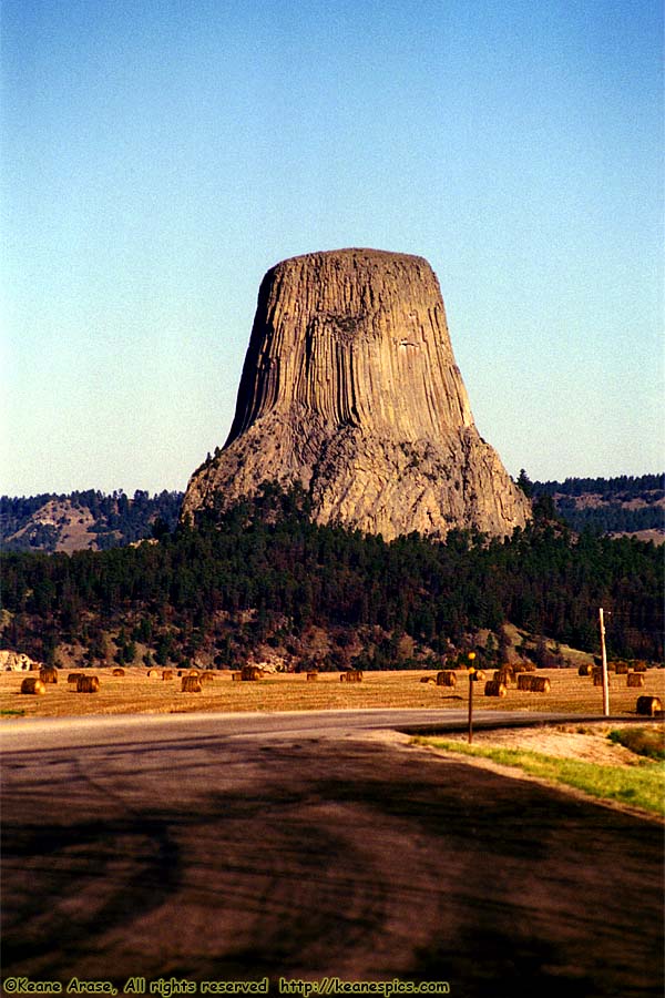
Location: SR-24, Wyoming Image: 37 of 114
Description: Devil's Tower
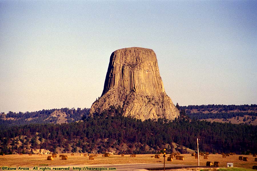
Location: SR-24, Wyoming Image: 38 of 114
Description: Devil's Tower
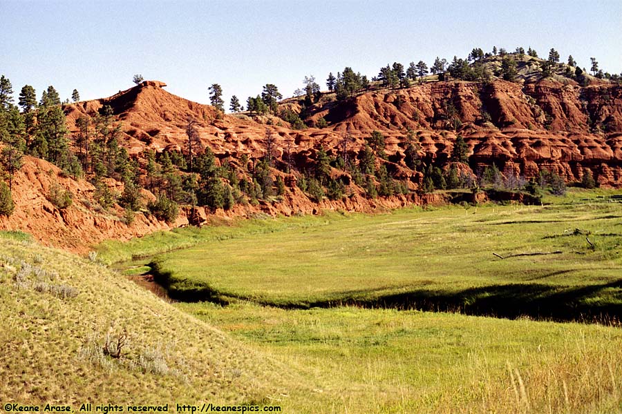
Location: Devil's Tower National Monument Image: 39 of 114
Description: Red Beds
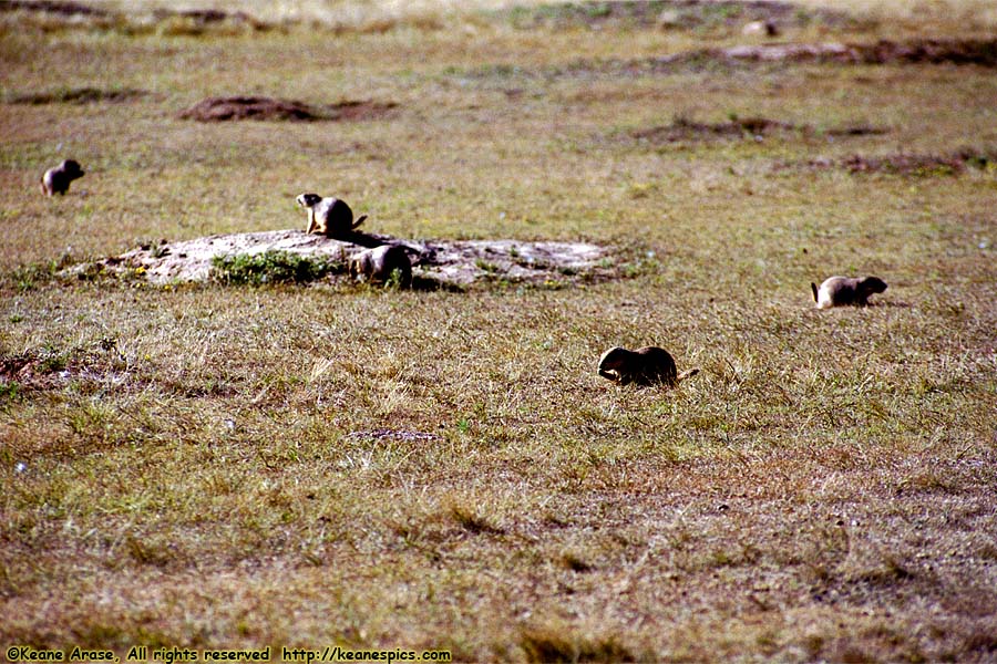
Location: Devil's Tower National Monument Image: 40 of 114
Description: Prairie Dogs
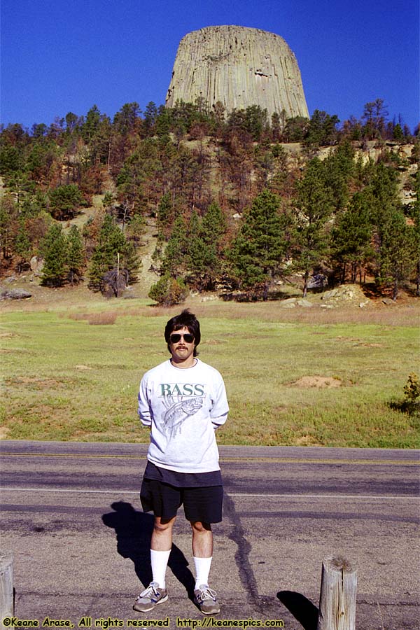
Location: Devil's Tower National Monument Image: 41 of 114
Description: Devil's Tower
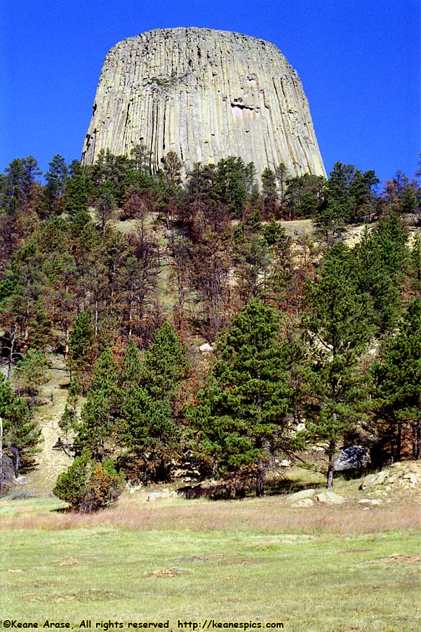
Location: Devil's Tower National Monument Image: 42 of 114
Description: Devil's Tower
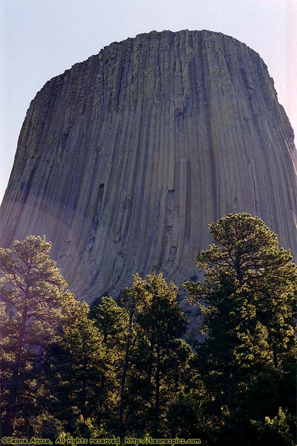
Location: Devil's Tower National Monument Image: 43 of 114
Description: Devil's Tower
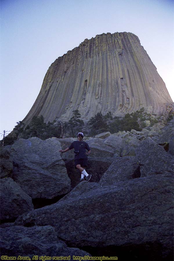
Location: Devil's Tower National Monument Image: 44 of 114
Description: Devil's Tower
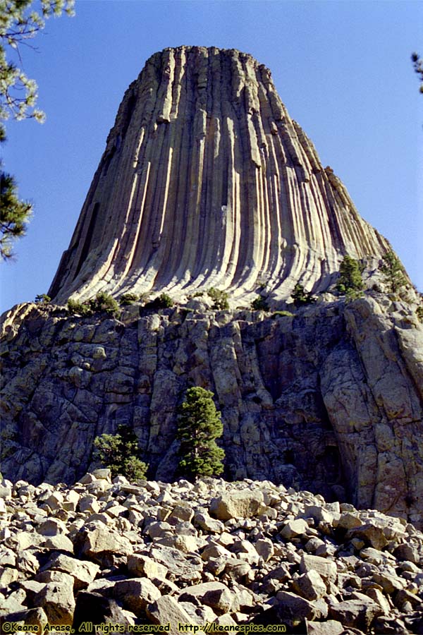
Location: Devil's Tower National Monument Image: 45 of 114
Description: Devil's Tower
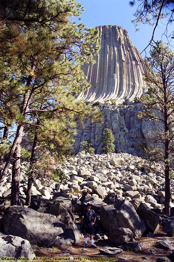
Location: Devil's Tower National Monument Image: 46 of 114
Description: Devil's Tower
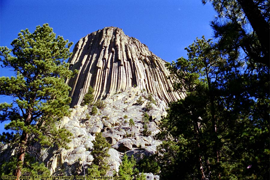
Location: Devil's Tower National Monument Image: 47 of 114
Description: Devil's Tower
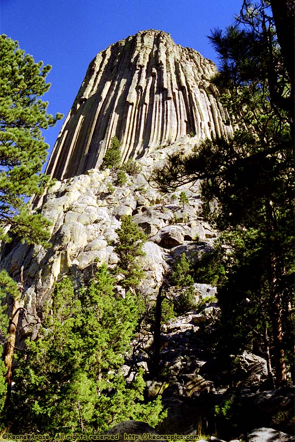
Location: Devil's Tower National Monument Image: 48 of 114
Description: Devil's Tower
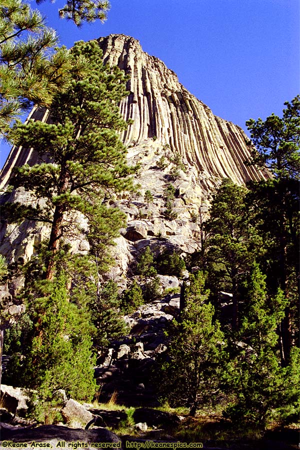
Location: Devil's Tower National Monument Image: 49 of 114
Description: Devil's Tower
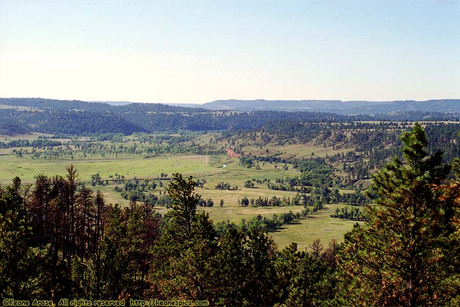
Location: Devil's Tower National Monument Image: 50 of 114
Description: Belle Fourche River
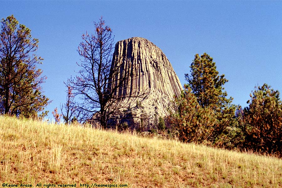
Location: Devil's Tower National Monument Image: 51 of 114
Description: Devil's Tower
Location: Custer State Park, South Dakota Image: 52 of 114
Description: Jo
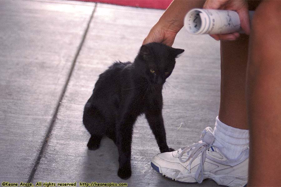
Location: Custer State Park, South Dakota Image: 53 of 114
Description: Cat
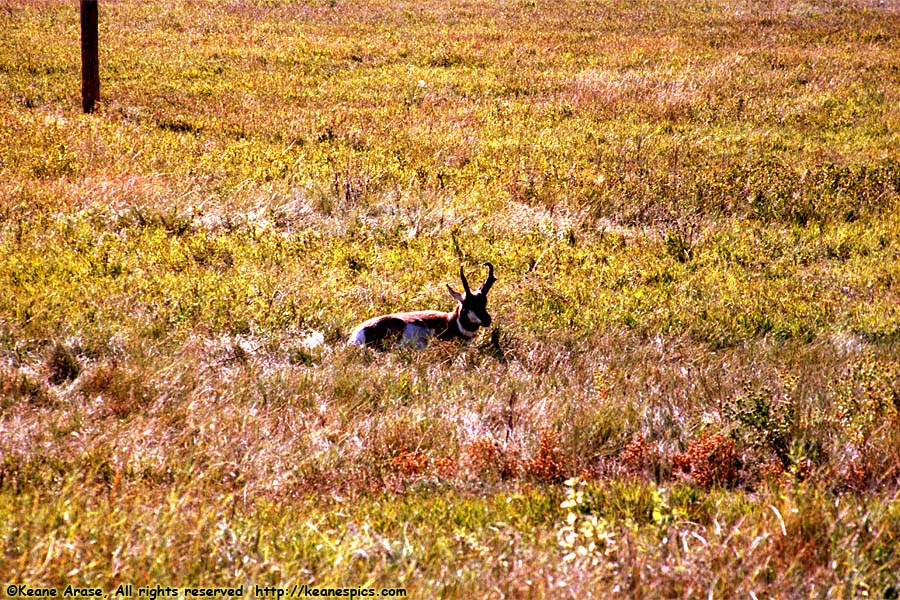
Location: Wildlife Loop Road, CSP Image: 54 of 114
Description: Pronghorn Sheep
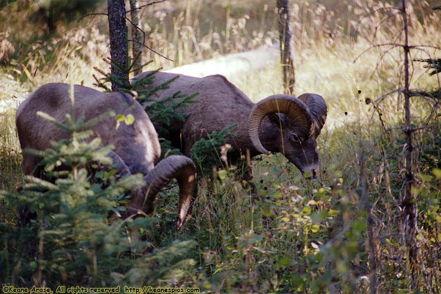
Location: Needles Highway, CSP Image: 55 of 114
Description: Bighorn Sheep
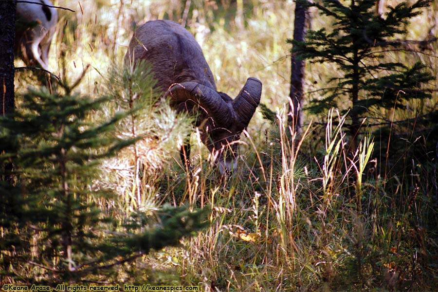
Location: Needles Highway, CSP Image: 56 of 114
Description: Bighorn Sheep
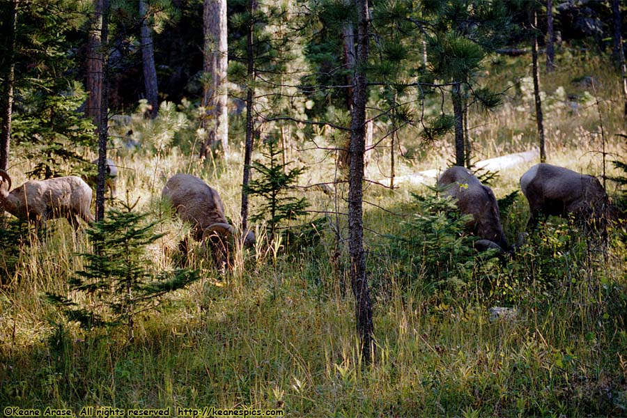
Location: Needles Highway, CSP Image: 57 of 114
Description: Bighorn Sheep
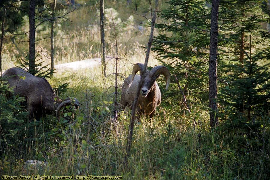
Location: Needles Highway, CSP Image: 58 of 114
Description: Bighorn Sheep
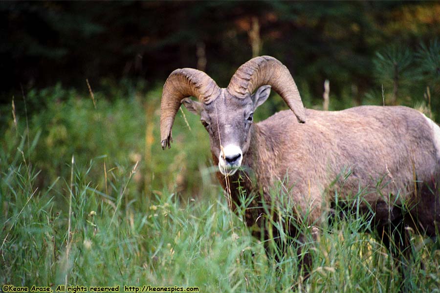
Location: Needles Highway, CSP Image: 59 of 114
Description: Bighorn Sheep
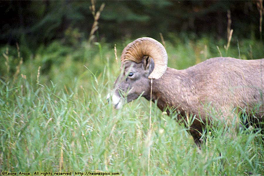
Location: Needles Highway, CSP Image: 60 of 114
Description: Bighorn Sheep
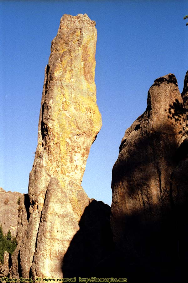
Location: Needles Highway, CSP Image: 61 of 114
Description: Needles
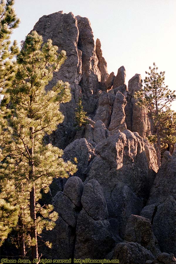
Location: Needles Highway, CSP Image: 62 of 114
Description: Needles
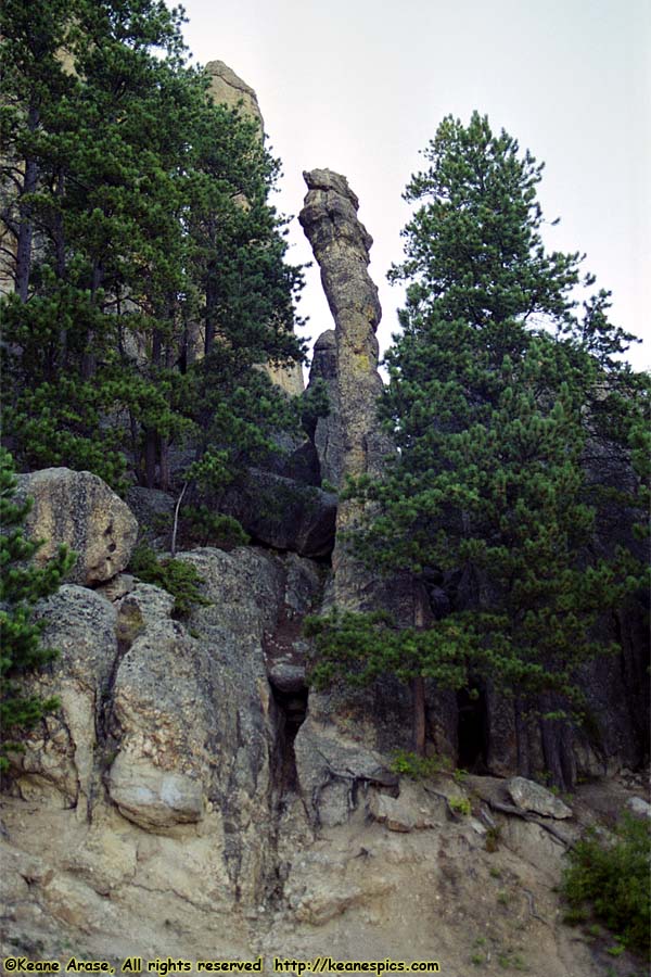
Location: Needles Highway, CSP Image: 63 of 114
Description: Needles
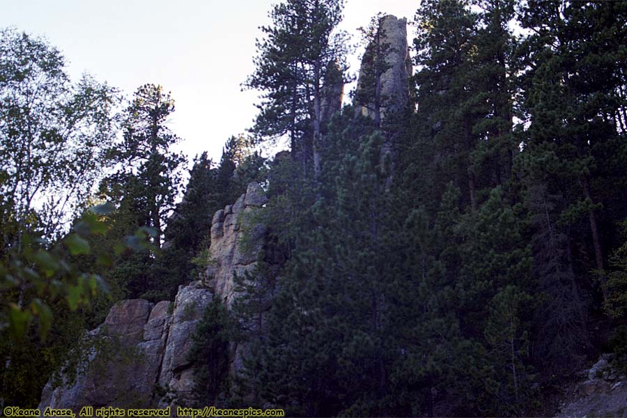
Location: Needles Highway, CSP Image: 64 of 114
Description: Needles
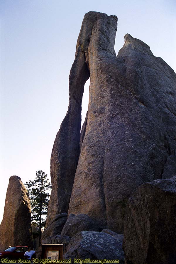
Location: Needles Highway, CSP Image: 65 of 114
Description: Needles Eye
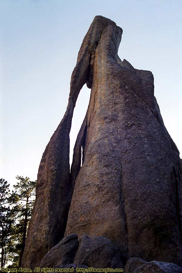
Location: Needles Highway, CSP Image: 66 of 114
Description: Needles Eye
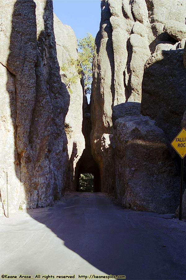
Location: Needles Highway, CSP Image: 67 of 114
Description: Tunnel
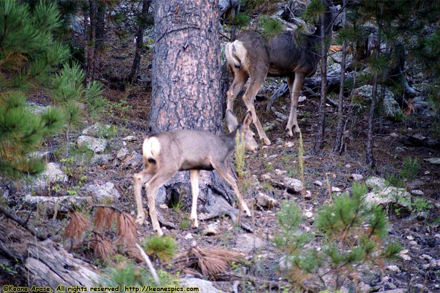
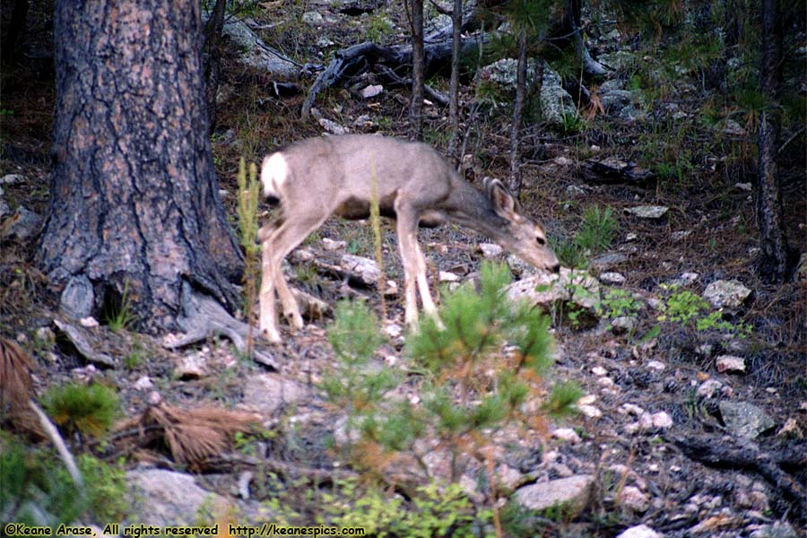
Location: Custer State Park, South Dakota Image: 68 of 114
Description: Deer
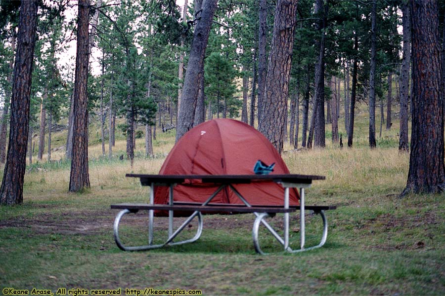
Location: Custer State Park, South Dakota Image: 69 of 114
Description: Deer
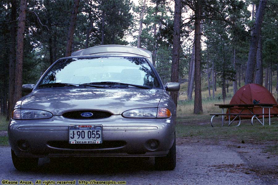
Location: Custer State Park, South Dakota Image: 70 of 114
Description: Camp
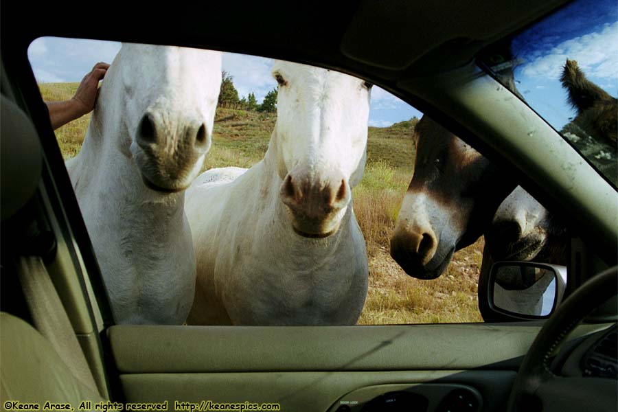
Location: Custer State Park, South Dakota Image: 71 of 114
Description: Camp
Location: Custer State Park, South Dakota Image: 72 of 114
Description: Burros
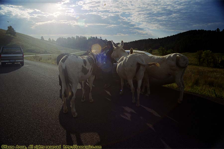
Location: Custer State Park, South Dakota Image: 73 of 114
Description: Burros
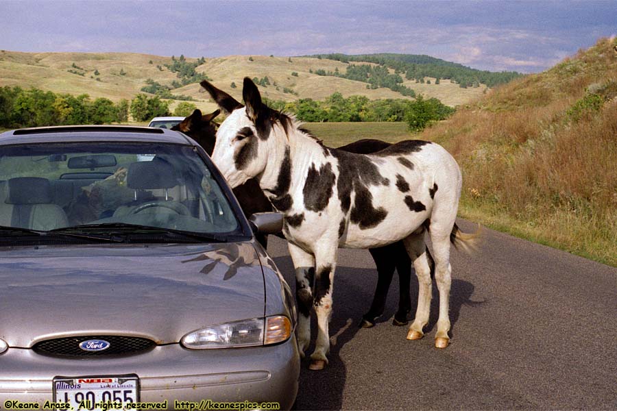
Location: Custer State Park, South Dakota Image: 74 of 114
Description: Burros
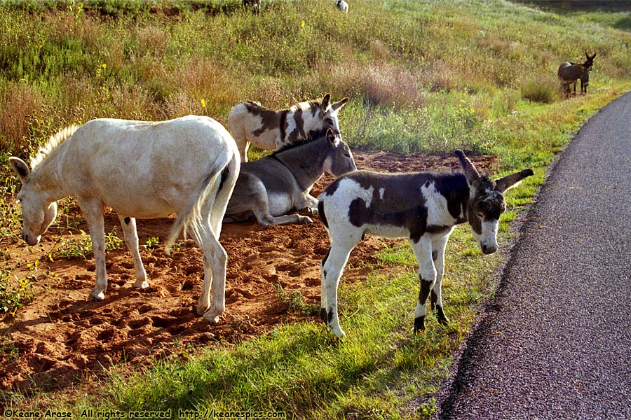
Location: Custer State Park, South Dakota Image: 75 of 114
Description: Burros
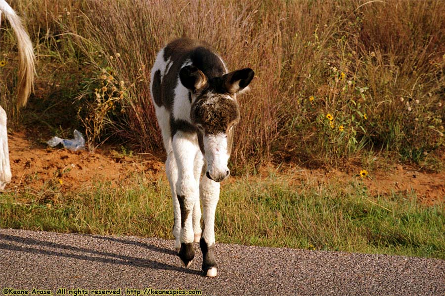
Location: Custer State Park, South Dakota Image: 76 of 114
Description: Burros
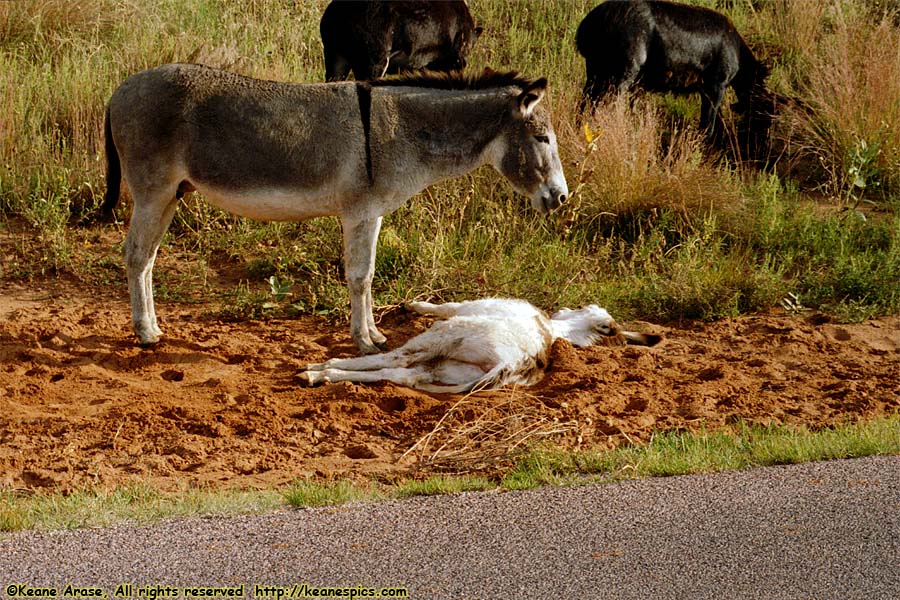
Location: Custer State Park, South Dakota Image: 77 of 114
Description: Burros
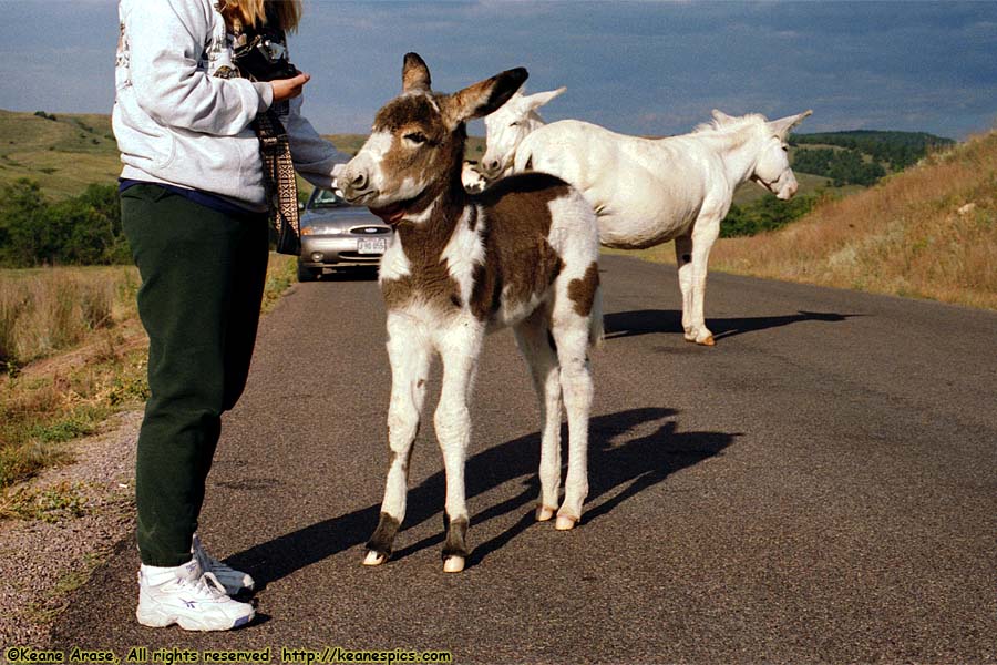
Location: Custer State Park, South Dakota Image: 78 of 114
Description: Burros
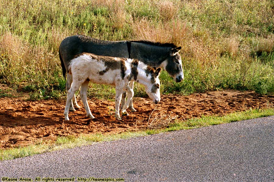
Location: Custer State Park, South Dakota Image: 79 of 114
Description: Burros
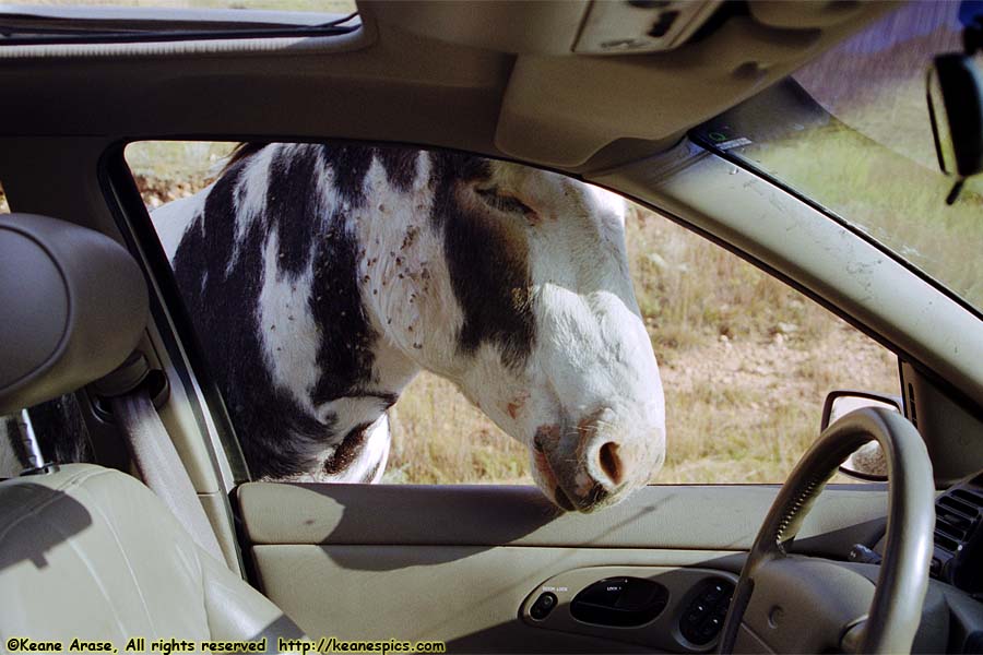
Location: Custer State Park, South Dakota Image: 80 of 114
Description: Burros
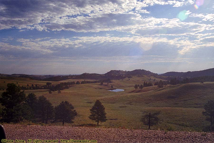
Location: Buffalo Gap National Grasslands, SD Image: 81 of 114
Description: Buffalo Gap National Grasslands
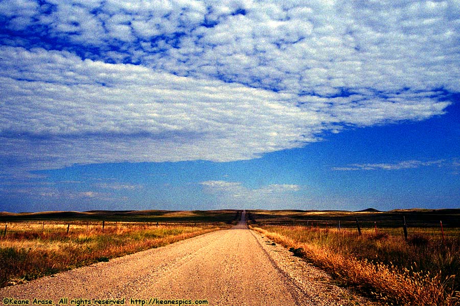
Location: Buffalo Gap National Grasslands, SD Image: 82 of 114
Description: Buffalo Gap National Grasslands
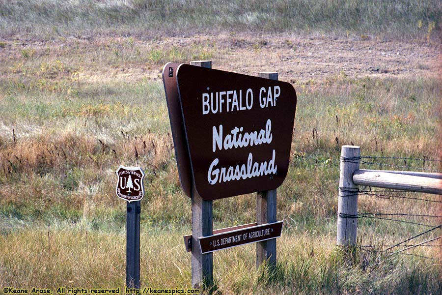
Location: Buffalo Gap National Grasslands, SD Image: 83 of 114
Description: Entry Sign
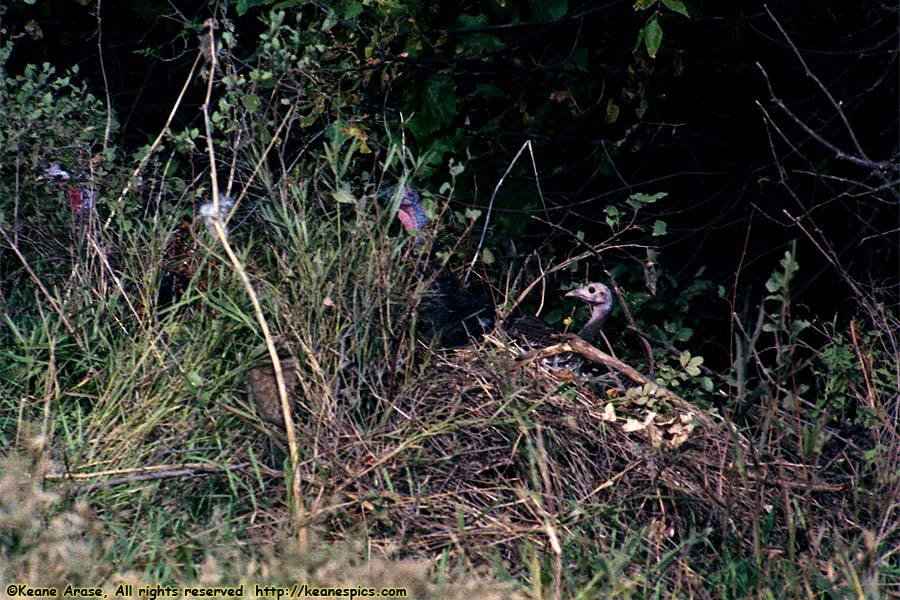
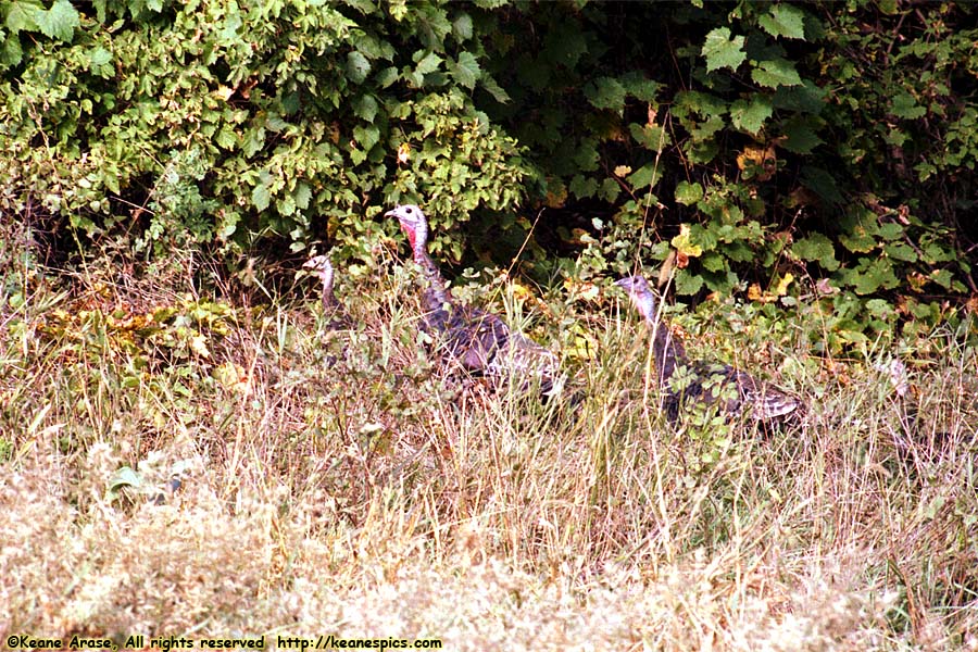
Location: Buffalo Gap National Grasslands, SD Image: 84 of 114
Description: Turkeys
Location: Buffalo Gap National Grasslands, SD Image: 85 of 114
Description: Turkeys
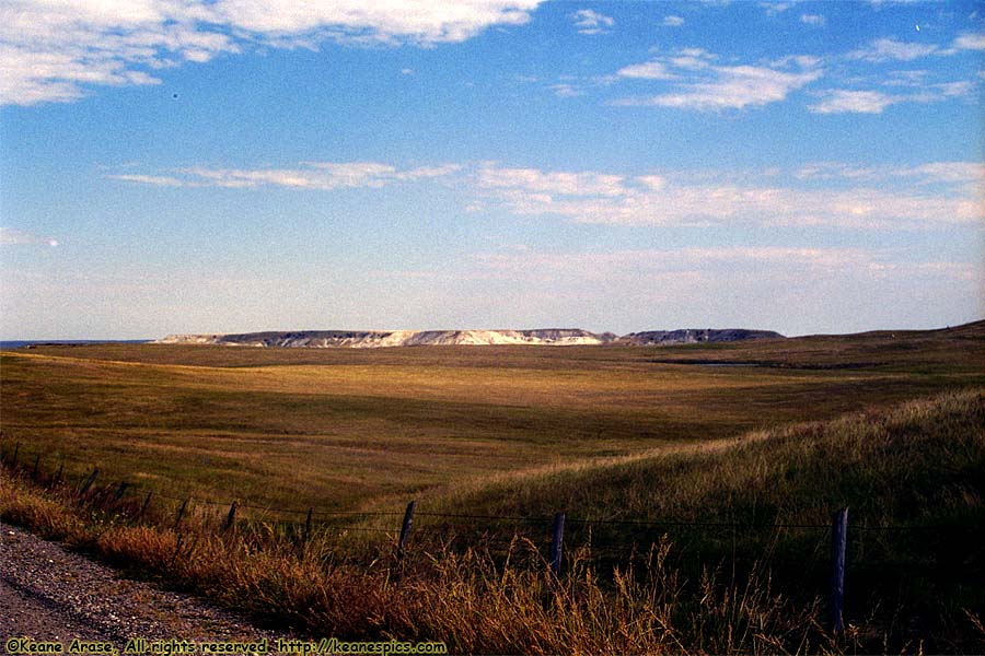
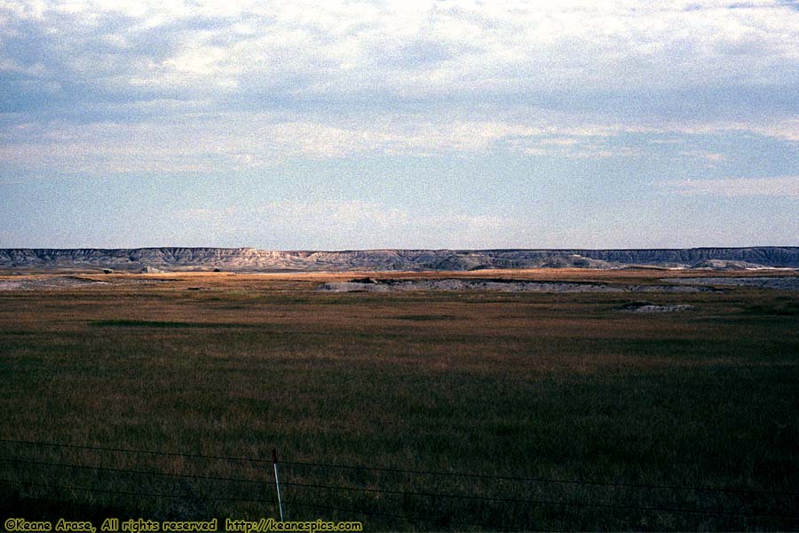
Location: Buffalo Gap National Grasslands, SD Image: 86 of 114
Description: Buffalo Gap National Grasslands
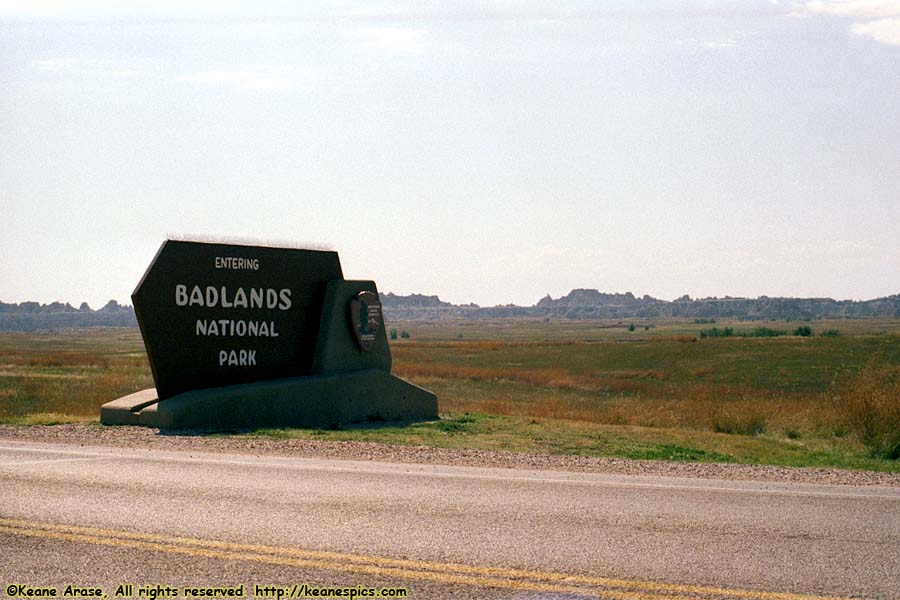
Location: Badlands National Park Image: 87 of 114
Description: Entry Sign
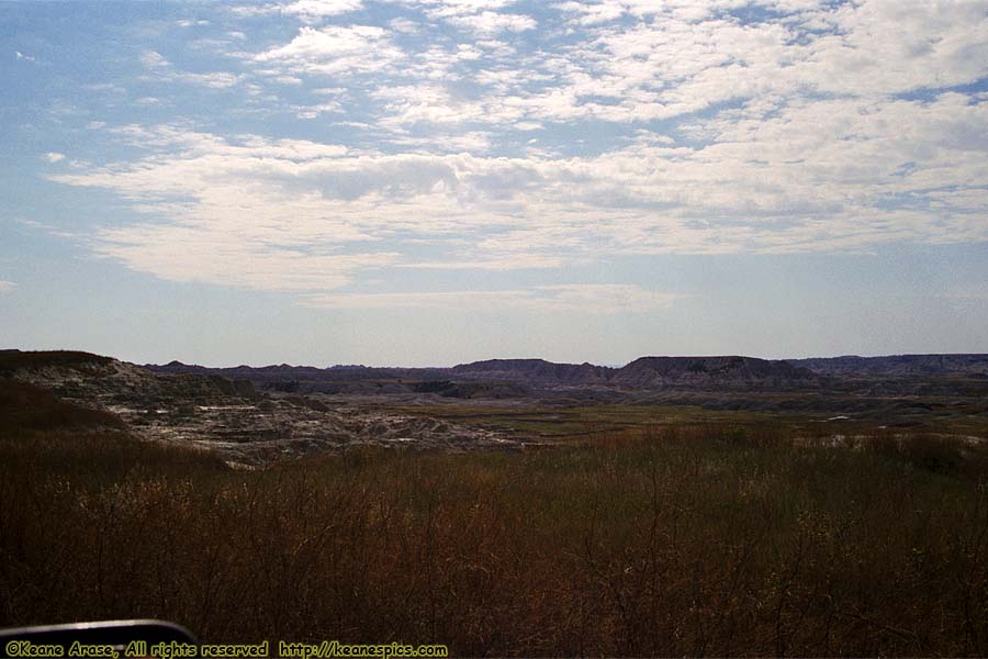
Location: Badlands National Park Image: 88 of 114
Description: Sage Creek Rim Road
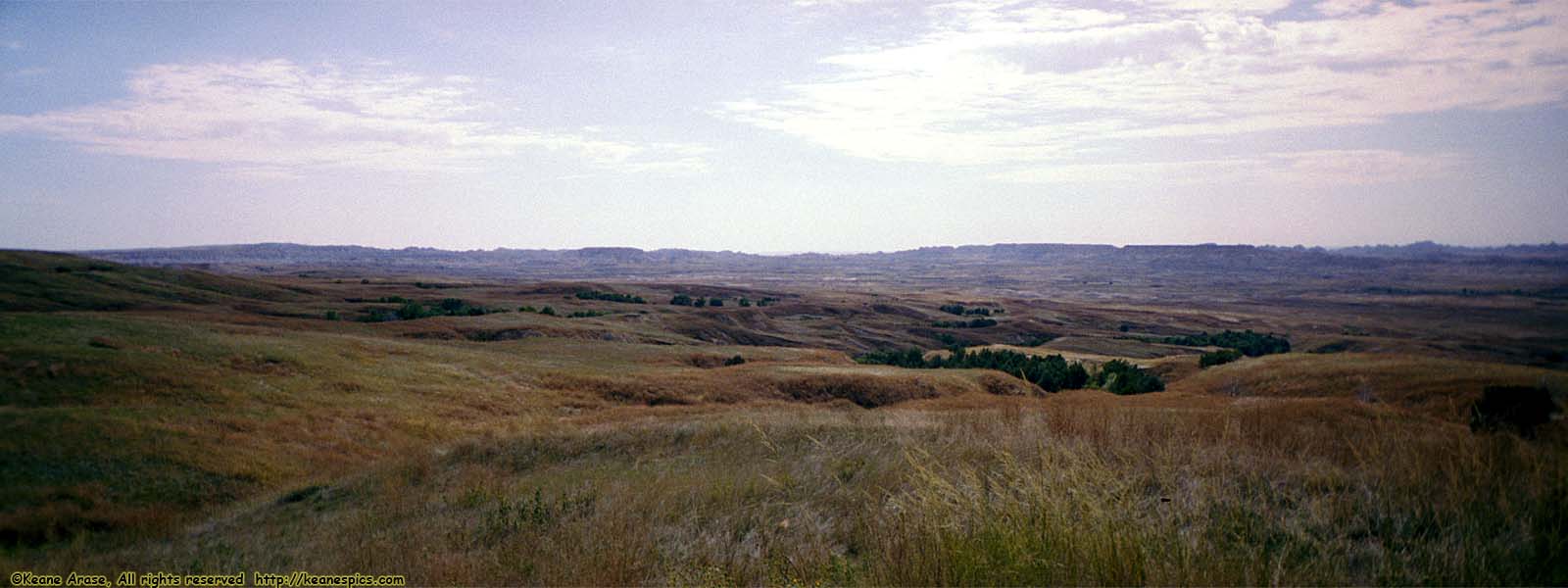
Location: Badlands National Park Image: 89 of 114
Description: Sage Creek Rim Road
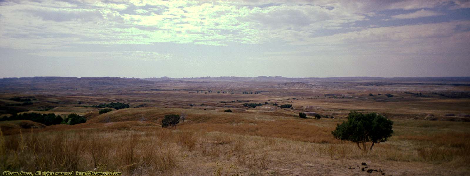
Location: Badlands National Park Image: 90 of 114
Description: Sage Creek Rim Road
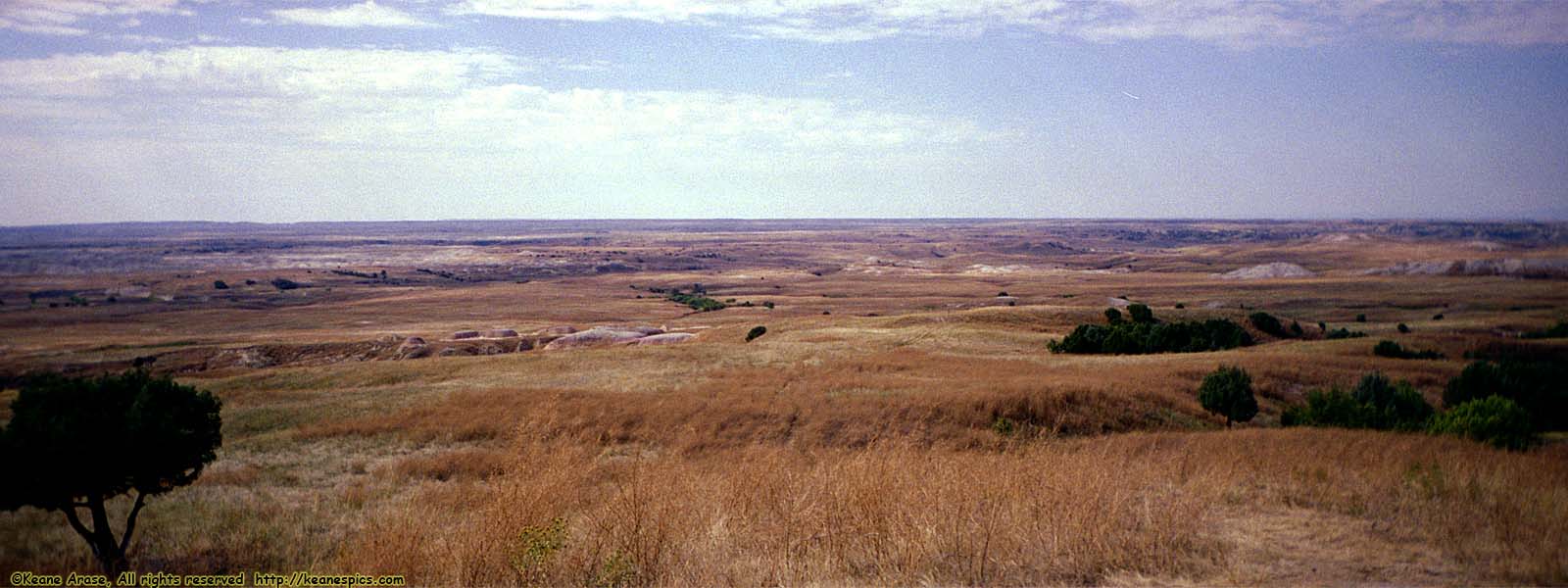
Location: Badlands National Park Image: 91 of 114
Description: Sage Creek Rim Road
Location: Badlands National Park Image: 92 of 114
Description: Sage Creek Rim Road
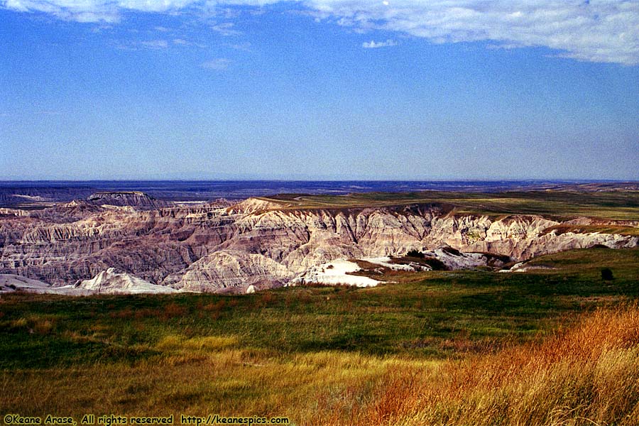
Location: Badlands National Park Image: 93 of 114
Description: Sage Creek Rim Road
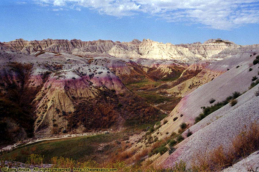
Location: Badlands National Park Image: 94 of 114
Description: Seabed Jungle Overlook
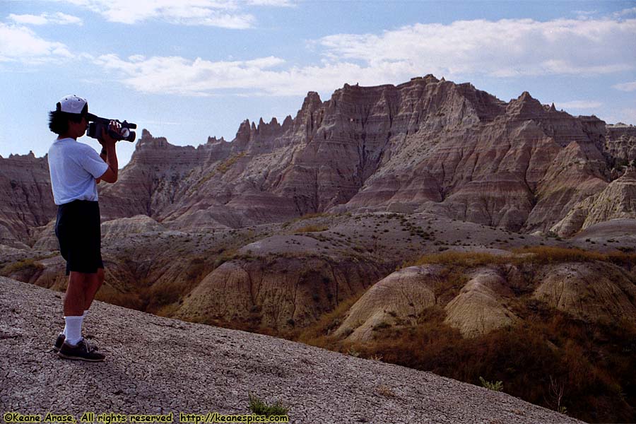
Location: Badlands National Park Image: 95 of 114
Description: Seabed Jungle Overlook
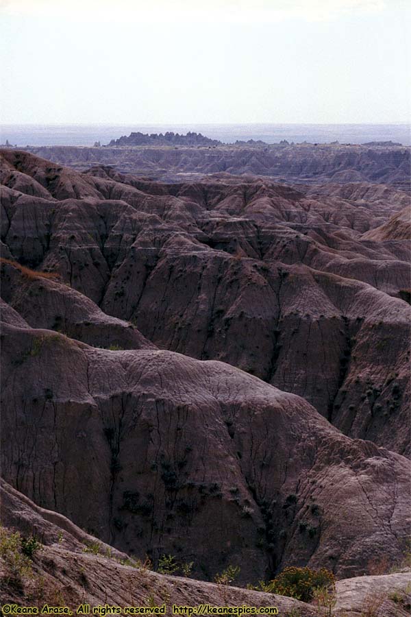
Location: Badlands National Park Image: 96 of 114
Description: Overlook along SD-240
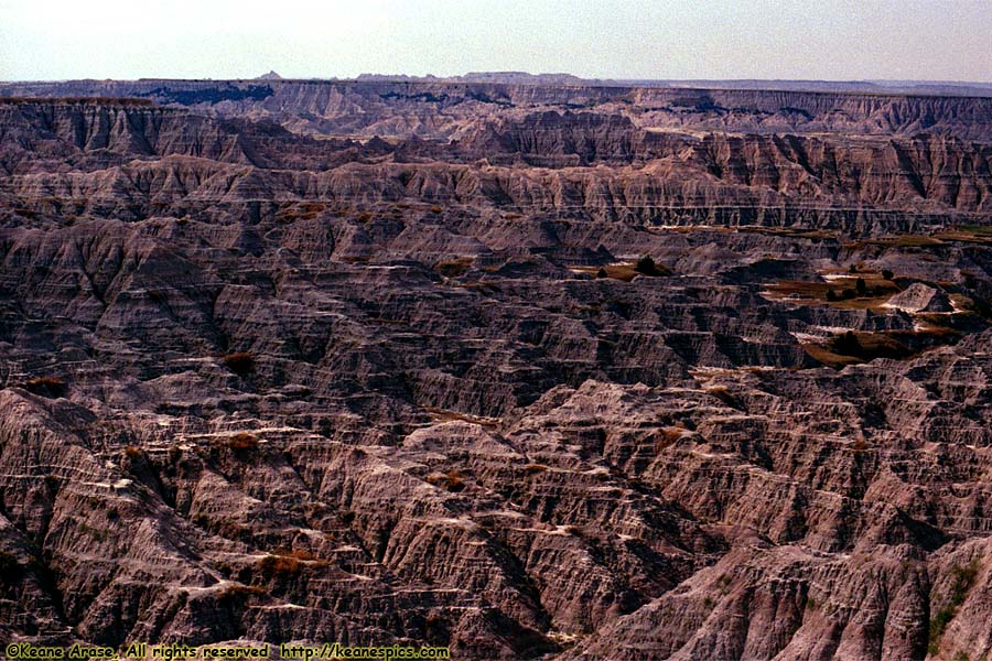
Location: Badlands National Park Image: 97 of 114
Description: Overlook along SD-240
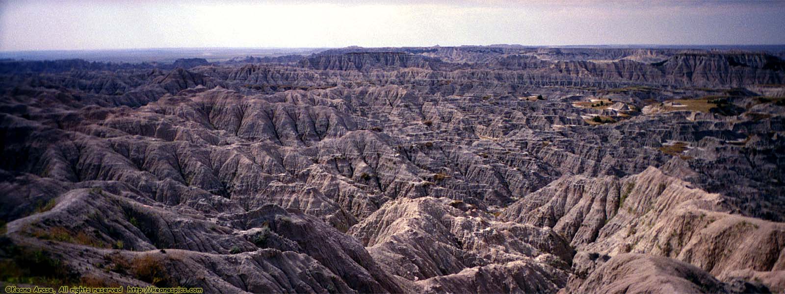
Location: Badlands National Park Image: 98 of 114
Description: Overlook along SD-240
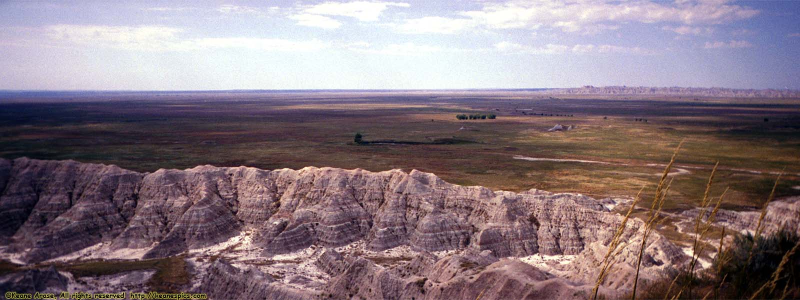
Location: Badlands National Park Image: 99 of 114
Description: Overlook along SD-240
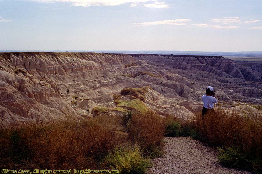
Location: Badlands National Park Image: 100 of 114
Description: Overlook along SD-240
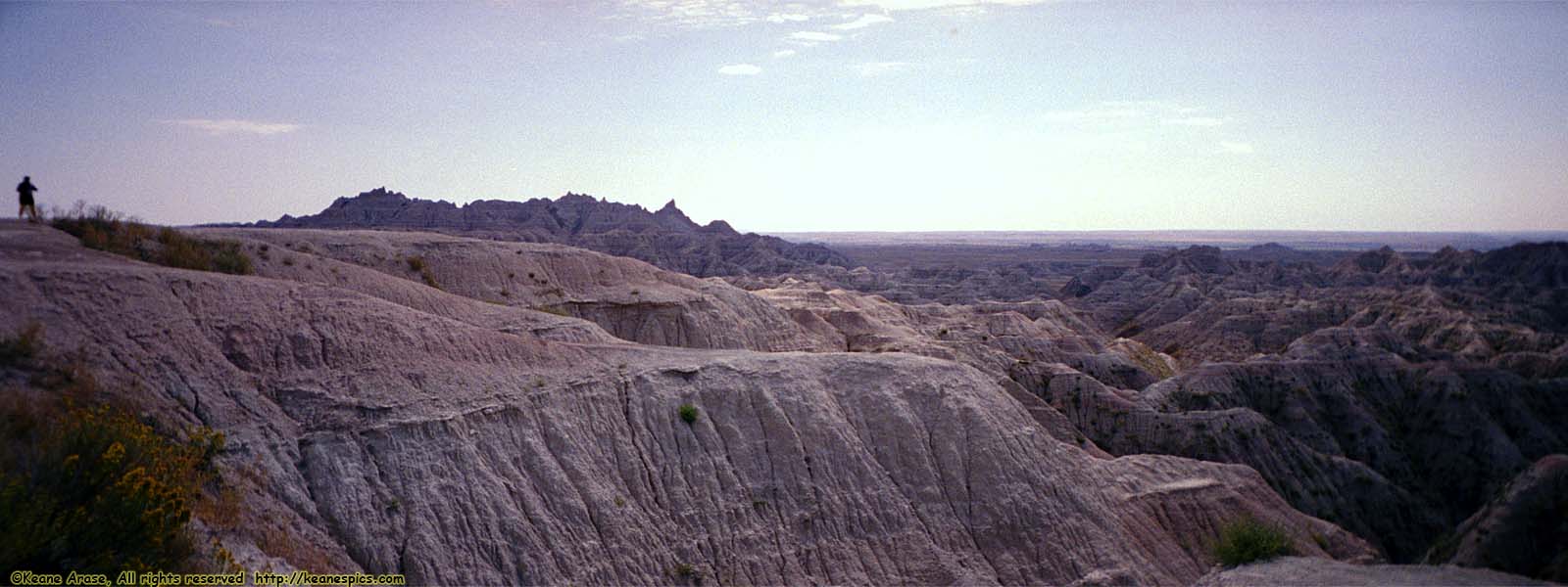
Location: Badlands National Park Image: 101 of 114
Description: Overlook along SD-240
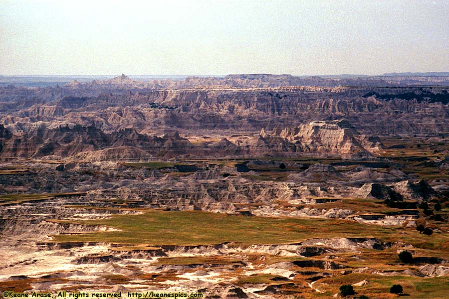
Location: Badlands National Park Image: 102 of 114
Description: Overlook along SD-240
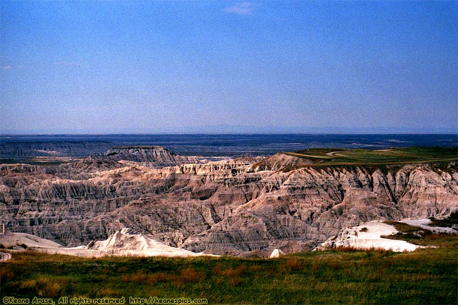
Location: Badlands National Park Image: 103 of 114
Description: Overlook along SD-240
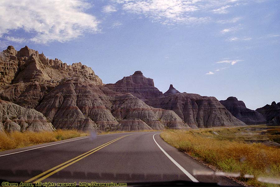
Location: Badlands National Park Image: 104 of 114
Description: Overlook along SD-240
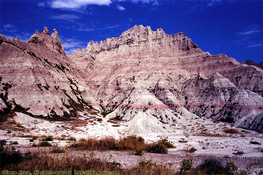
Location: Badlands National Park Image: 105 of 114
Description: Overlook along SD-240
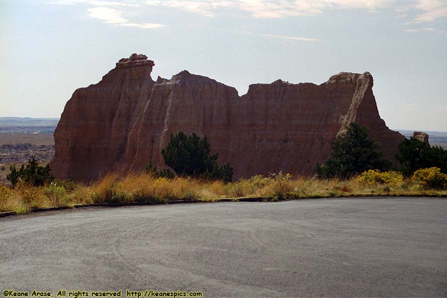
Location: Badlands National Park Image: 106 of 114
Description: Cliff Shelf Nature Trail
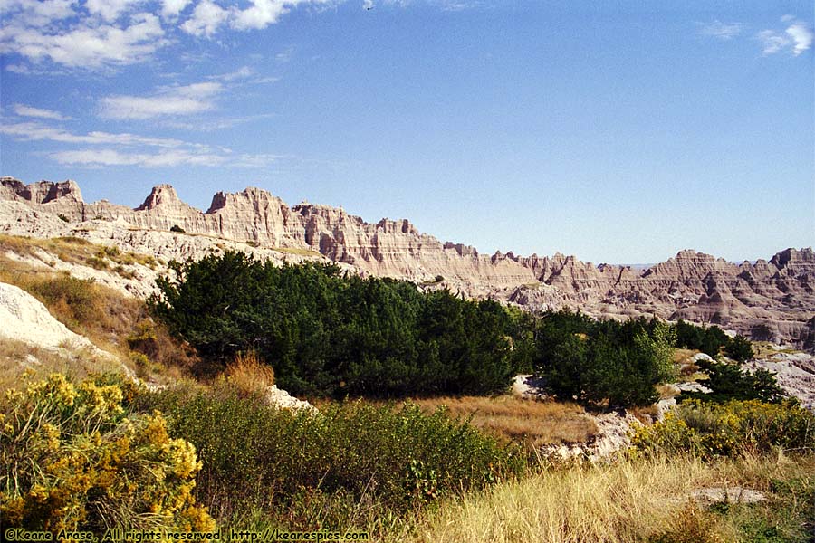
Location: Badlands National Park Image: 107 of 114
Description: Cliff Shelf Nature Trail
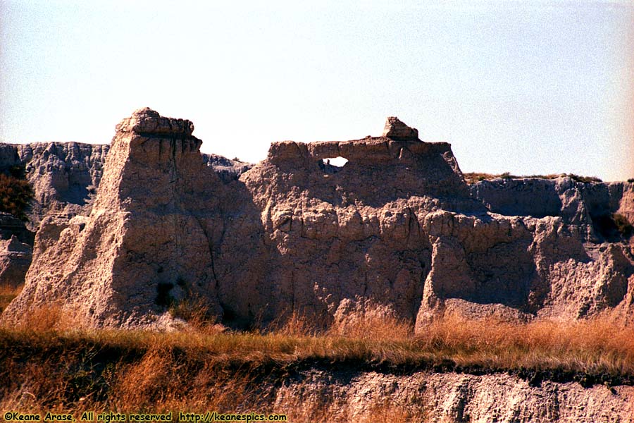
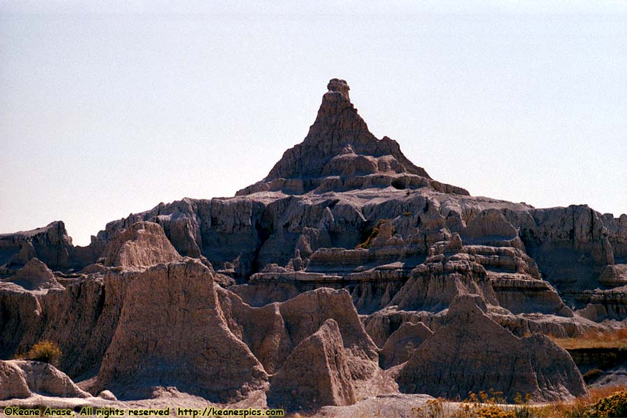
Location: Badlands National Park Image: 108 of 114
Description: Windows Trail Parking Lot
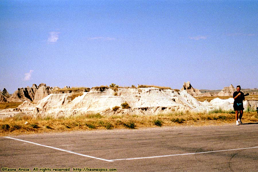
Location: Badlands National Park Image: 109 of 114
Description: Windows Trail Parking Lot
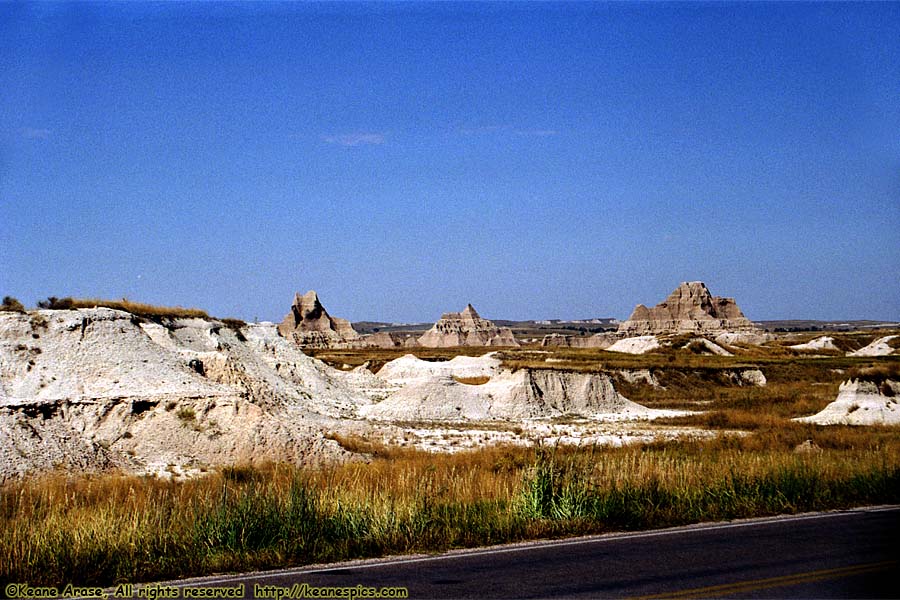
Location: Badlands National Park Image: 110 of 114
Description: Windows Trail Parking Lot
Location: Badlands National Park Image: 111 of 114
Description: Windows Trail Parking Lot
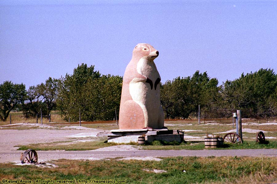
Location: Cactus Flats, South Dakota Image: 112 of 114
Description: World's Largest Prairie Dog
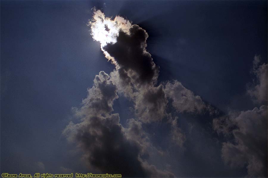
Location: Along I-90, Illinois Image: 113 of 114
Description: Clouds
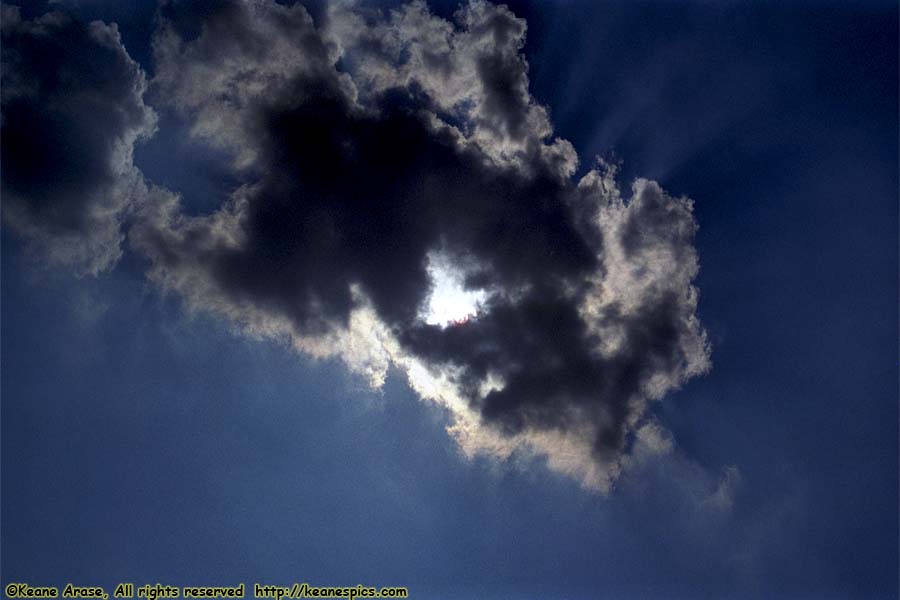
Location: Along I-90, Illinois Image: 114 of 114
Description: Clouds