 Previous image
Next image
Return to Places - Utah
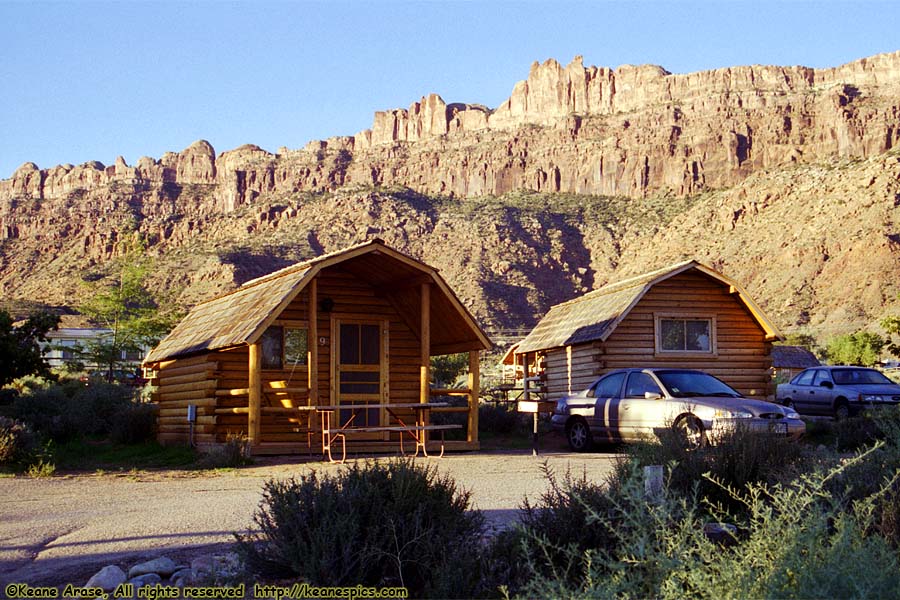
Location: Moab, Utah Image: 1 of 89
Description: KOA Kabin
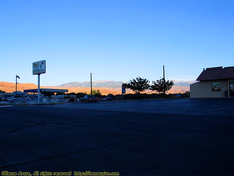
Location: Moab, UT Image: 2 of 89
Description: End of the day
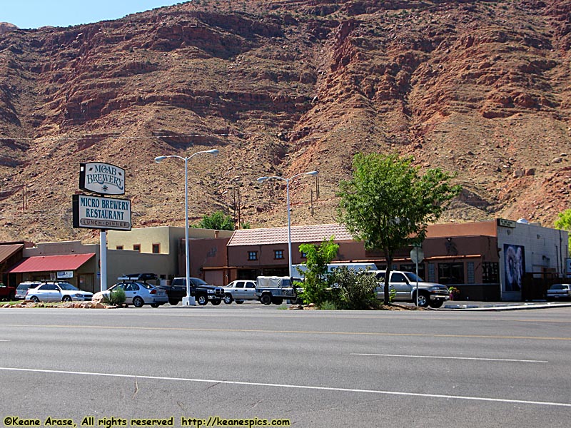
Location: Moab, Utah Image: 3 of 89
Description: Moab Brewery
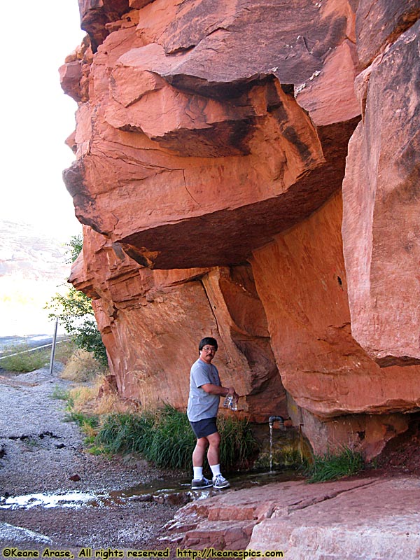
Location: US-191 & Rt-128, UT Image: 4 of 89
Description: Natural Spring
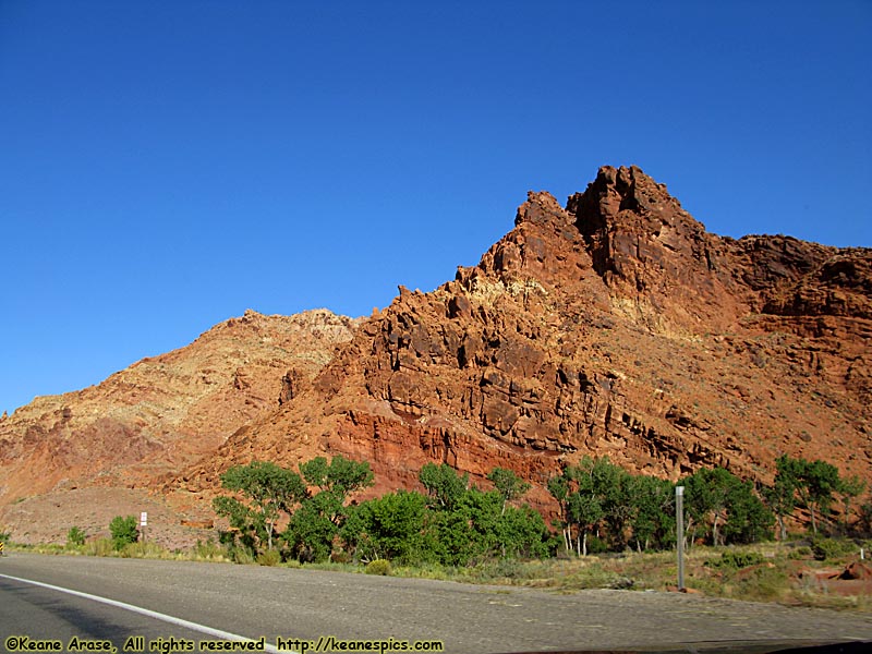
Location: US-191, UT Image: 5 of 89
Description: Along US-191
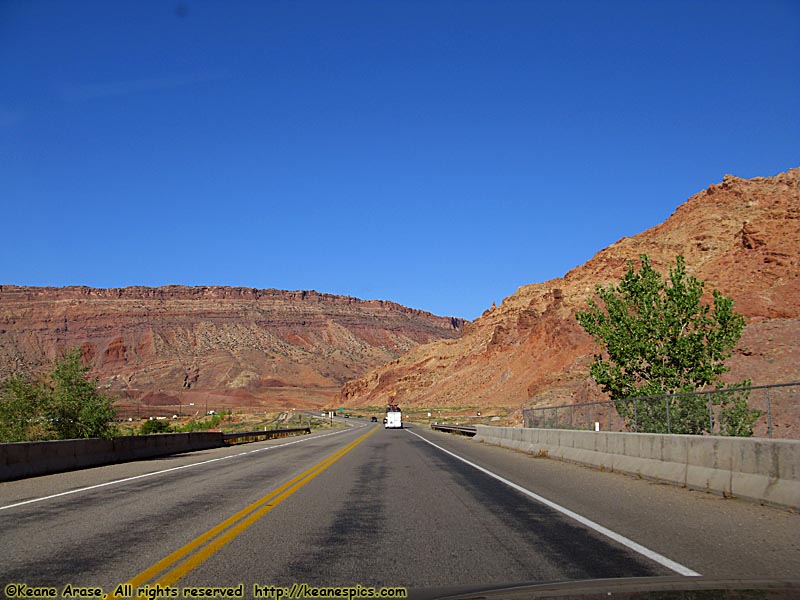
Location: US-191, UT Image: 6 of 89
Description: Along US-191
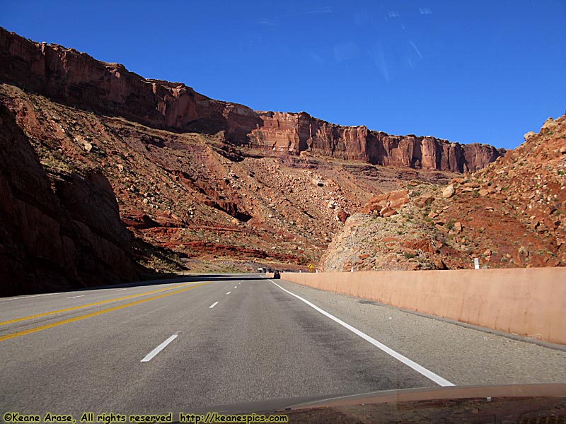
Location: US-191, UT Image: 7 of 89
Description: Along US-191
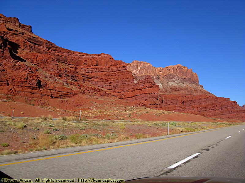
Location: US-191, UT Image: 8 of 89
Description: Along US-191
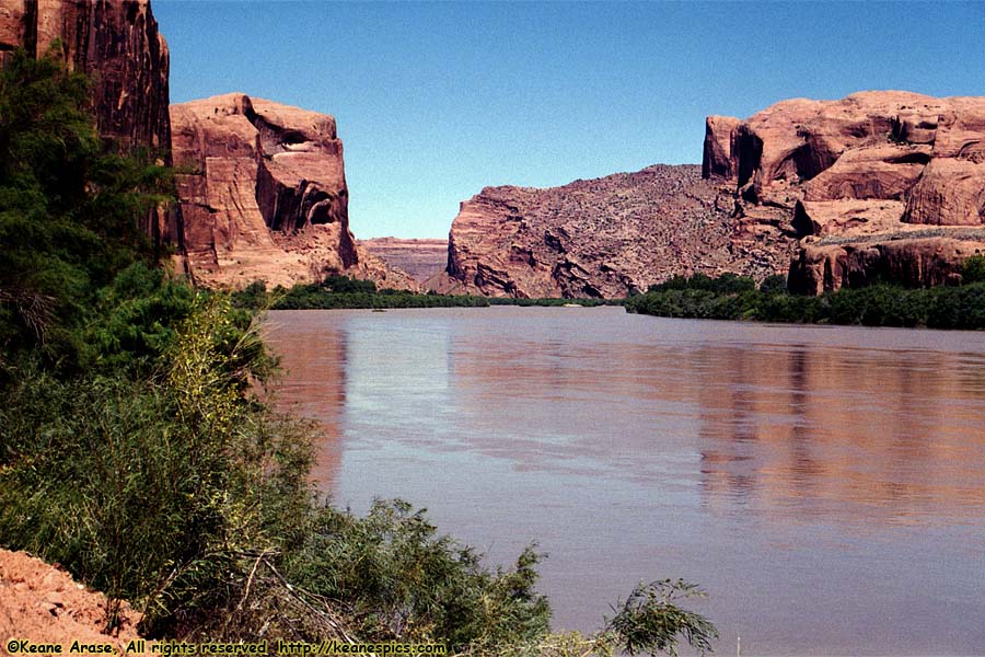
Location: Along Utah 279 Image: 9 of 89
Description: Colorado River
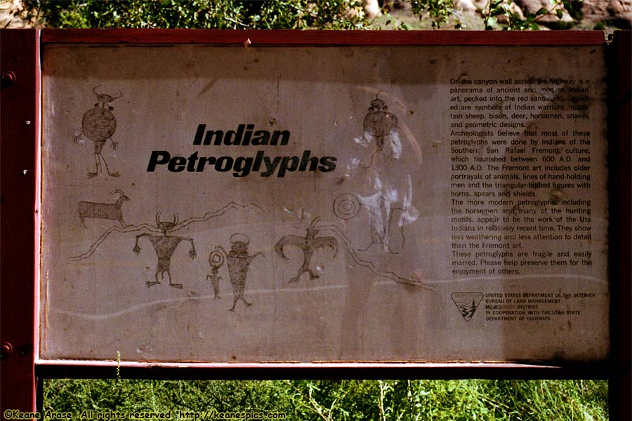
Location: Along Utah 279 Image: 10 of 89
Description: Petroglyphs
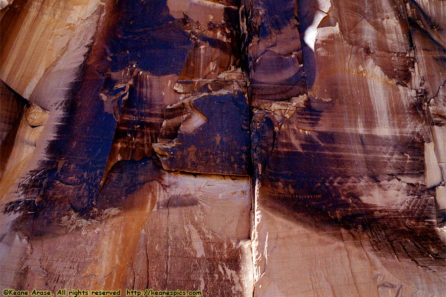
Location: Along Utah 279 Image: 11 of 89
Description: Petroglyphs
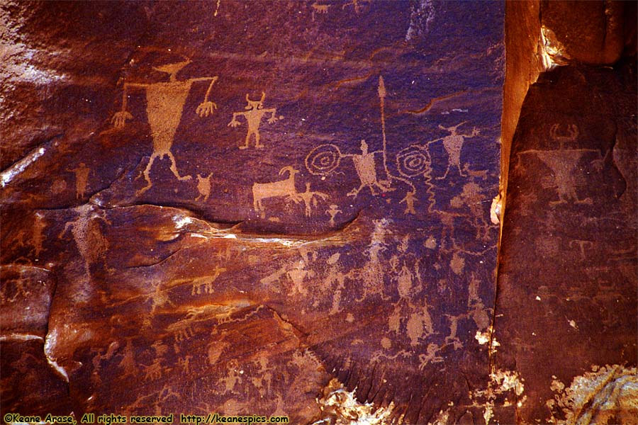
Location: Along Utah 279 Image: 12 of 89
Description: Petroglyphs
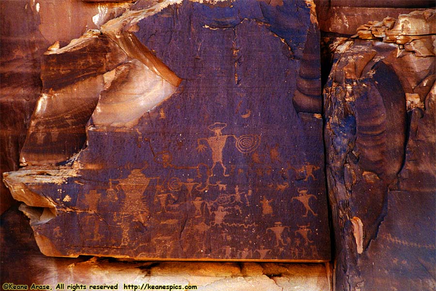
Location: Along Utah 279 Image: 13 of 89
Description: Petroglyphs
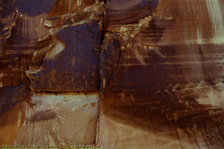
Location: Along Utah 279 Image: 14 of 89
Description: Petroglyphs
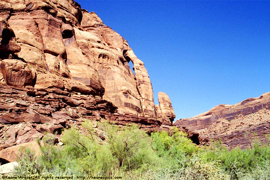
Location: Along Utah 279 Image: 15 of 89
Description: The Jug Handle
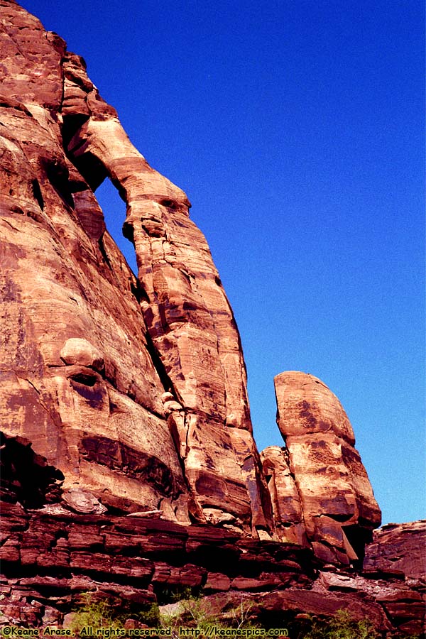
Location: Along Utah 279 Image: 16 of 89
Description: The Jug Handle
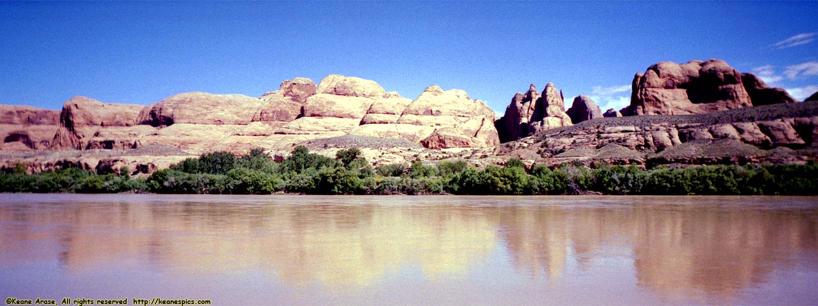
Location: Along Utah 279 Image: 17 of 89
Description: Colorado River
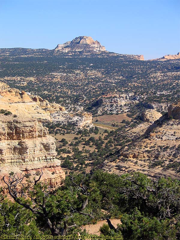
Location: I-70, UT Image: 18 of 89
Description: Scenic Overlook pulloff
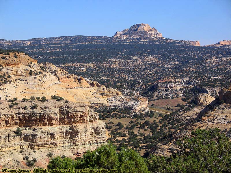
Location: I-70, UT Image: 19 of 89
Description: Scenic Overlook pulloff
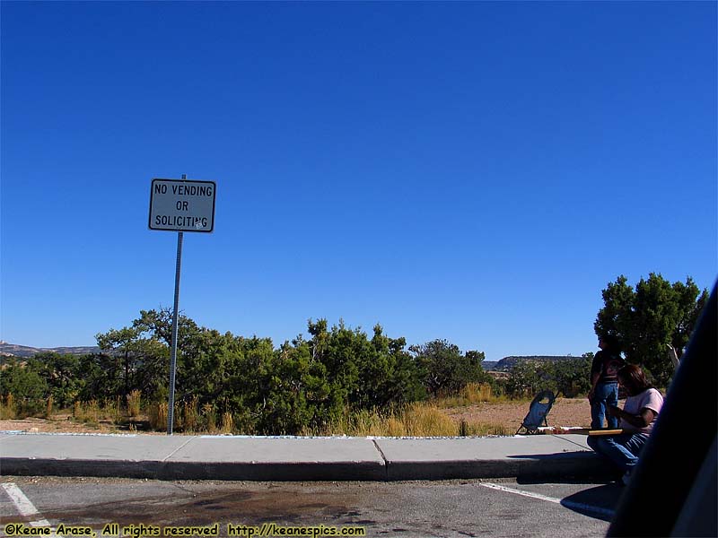
Location: I-70, UT Image: 20 of 89
Description: Can't really see it, but they had their Native jewelry and handicrafts spread out all over...
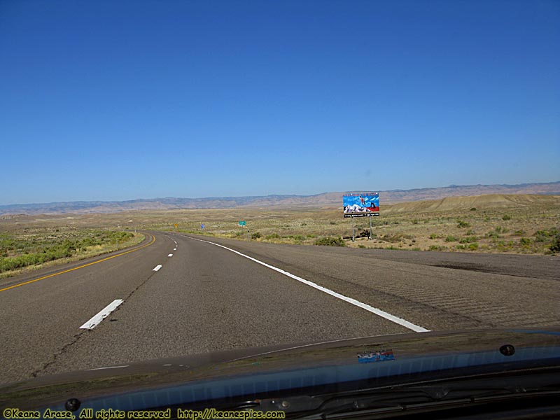
Location: I-70, Utah Image: 21 of 89
Description: Welcome to Utah!
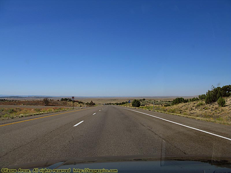
Location: I-70, Utah Image: 22 of 89
Description: Along I-70
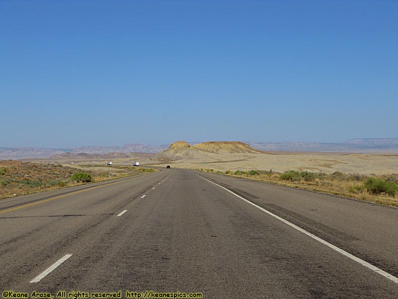
Location: I-70, Utah Image: 23 of 89
Description: Along I-70
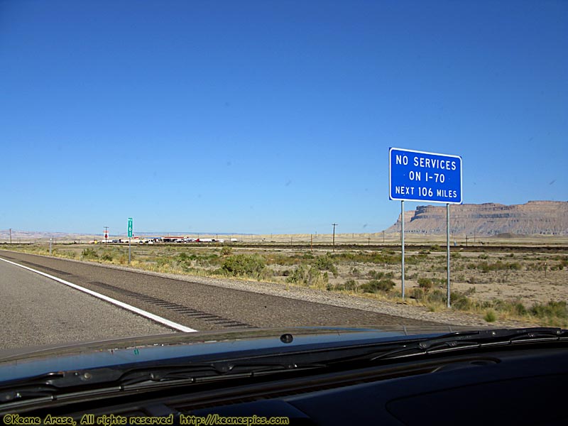
Location: I-70, Utah Image: 24 of 89
Description: Along I-70
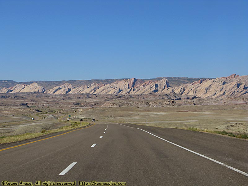
Location: I-70, Utah Image: 25 of 89
Description: Along I-70
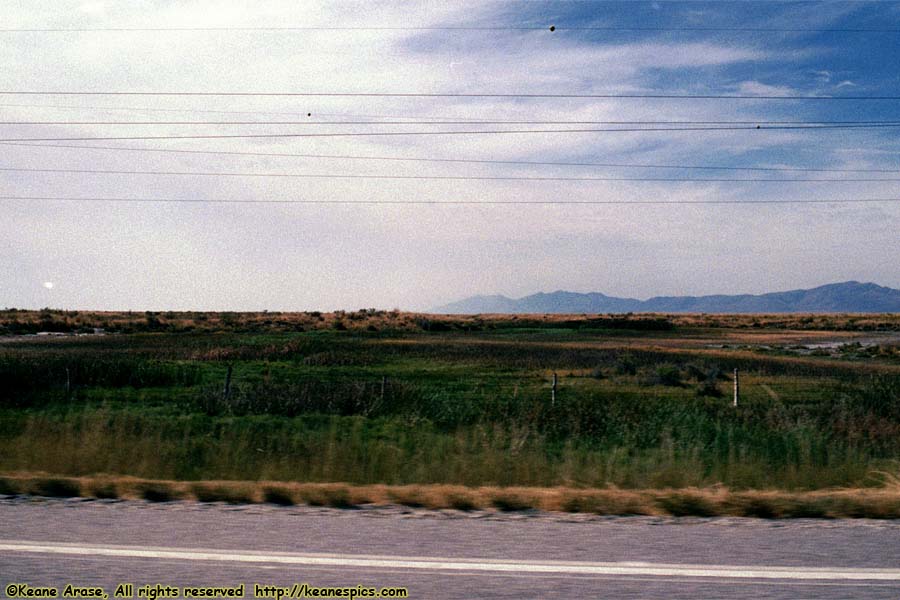
Location: Along SR-83, Utah Image: 26 of 89
Description: Bear River Valley
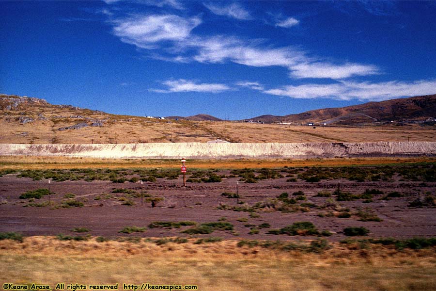
Location: Along SR-83, Utah Image: 27 of 89
Description: Thiokol
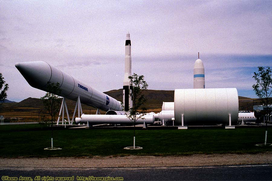
Location: Thiokol Image: 28 of 89
Description: Rocket Display
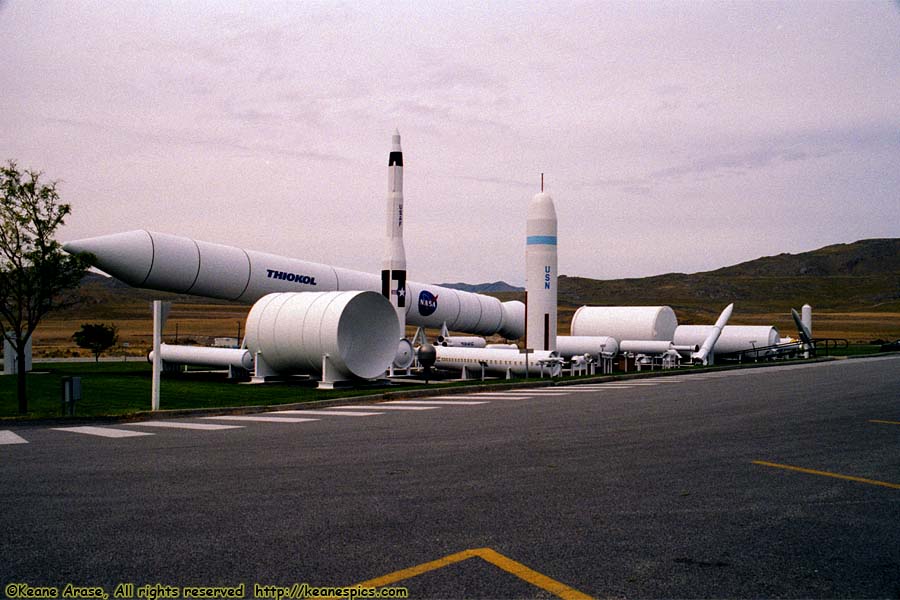
Location: Thiokol Image: 29 of 89
Description: Rocket Display
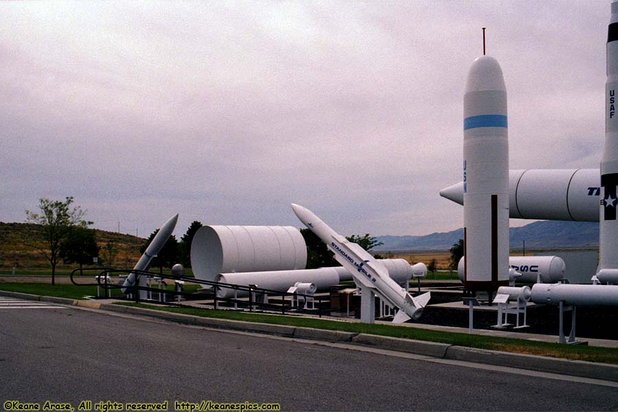
Location: Thiokol Image: 30 of 89
Description: Rocket Display
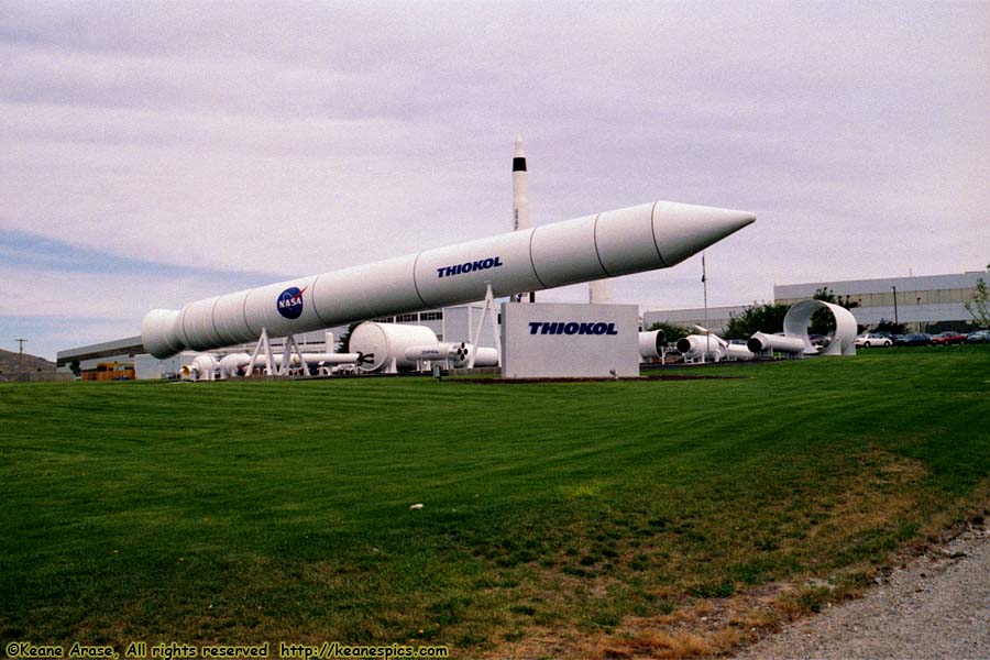
Location: Thiokol Image: 31 of 89
Description: Rocket Display
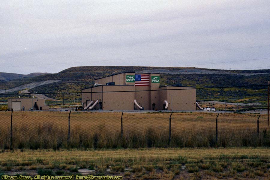
Location: Thiokol Image: 32 of 89
Description: Large Building
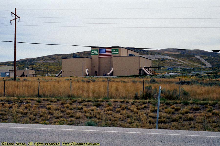
Location: Thiokol Image: 33 of 89
Description: Large Building
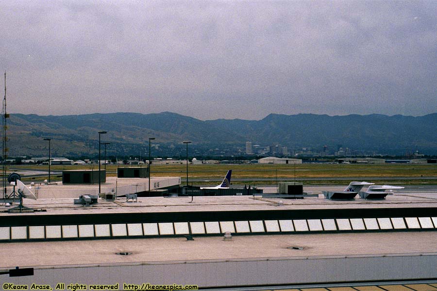
Location: Salt Lake City Intl Airport, Utah Image: 34 of 89
Description: Salt Lake City
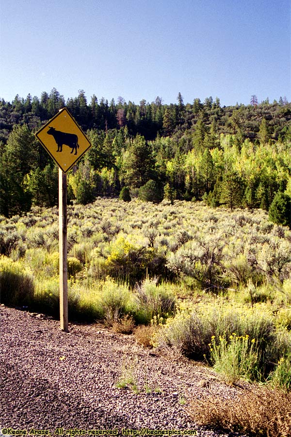
Location: Along SR-143, Utah Image: 35 of 89
Description: Along SR-143
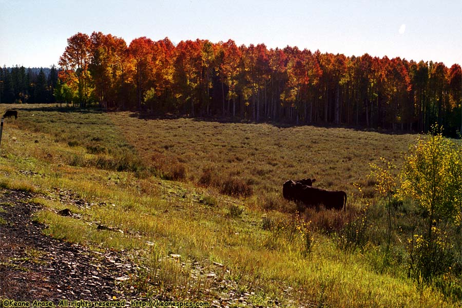
Location: Along SR-143, Utah Image: 36 of 89
Description: Fall Trees
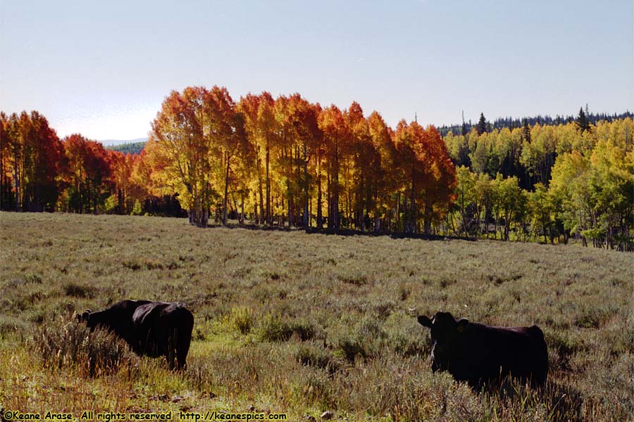
Location: Along SR-143, Utah Image: 37 of 89
Description: Fall Trees
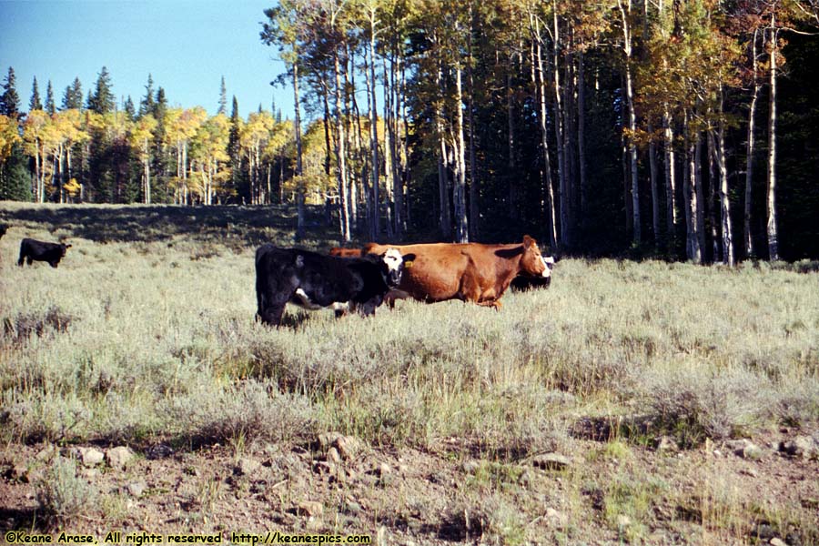
Location: Along SR-143, Utah Image: 38 of 89
Description: Cows
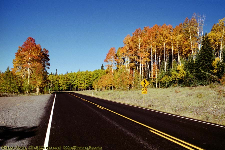
Location: Along SR-143, Utah Image: 39 of 89
Description: Fall Trees
Location: US-89, Utah Image: 40 of 89
Description: Along US-89
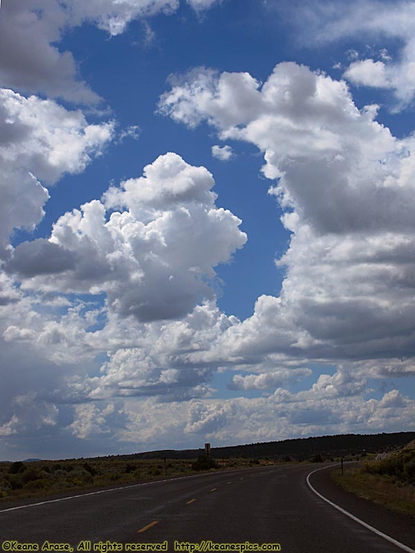
Location: US-89, Utah Image: 41 of 89
Description: Along US-89
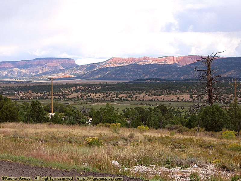
Location: US-89, Utah Image: 42 of 89
Description: Along US-89
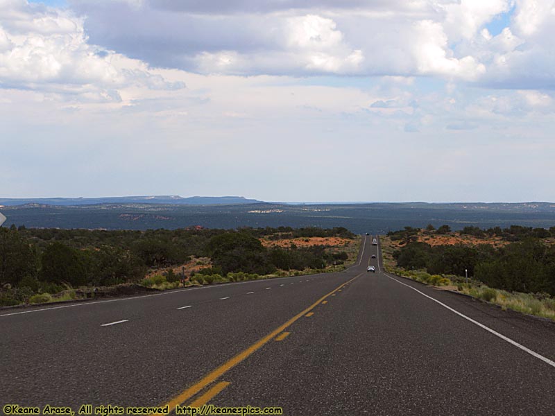
Location: US-89, Utah Image: 43 of 89
Description: Along US-89
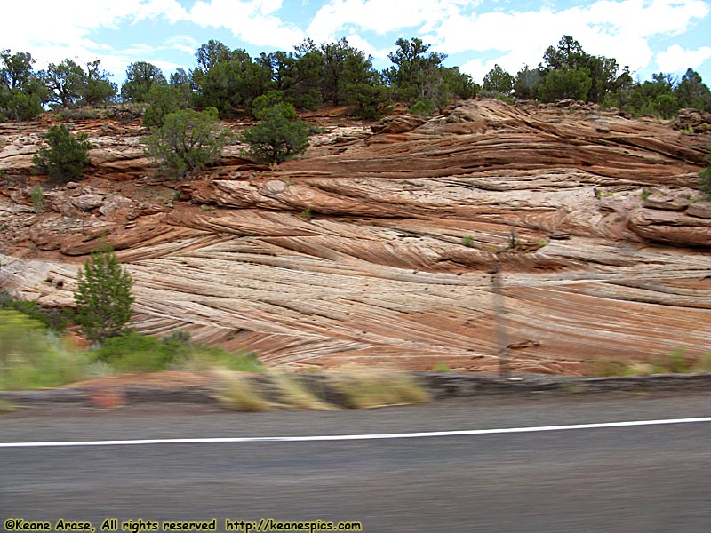
Location: US-89, Utah Image: 44 of 89
Description: Along US-89
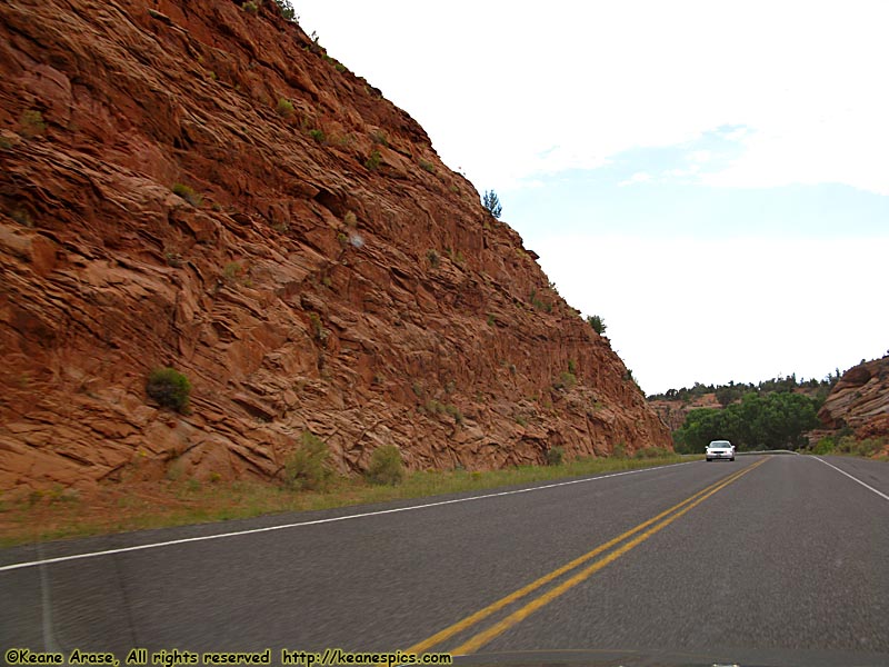
Location: US-89, Utah Image: 45 of 89
Description: Along US-89
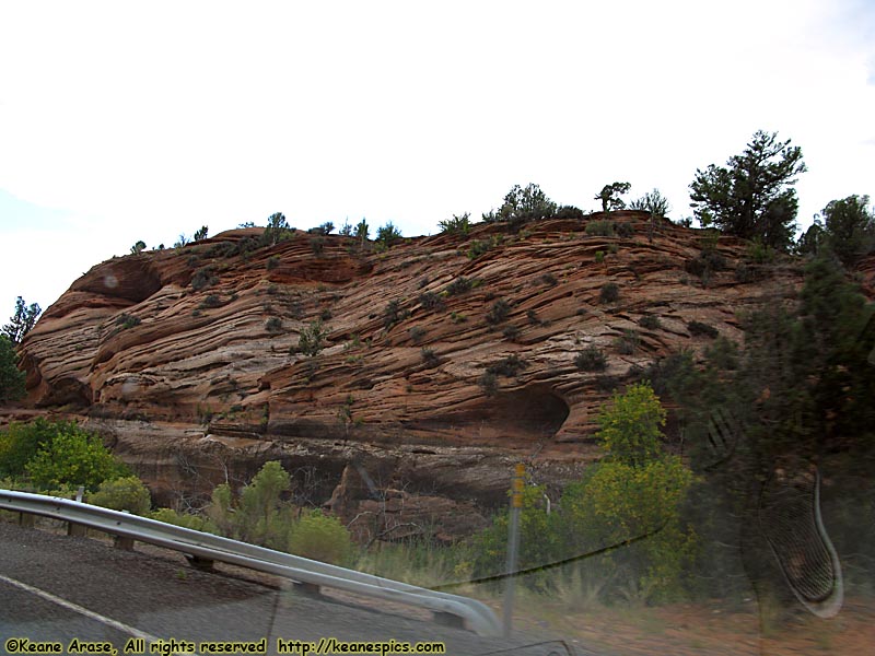
Location: US-89, Utah Image: 46 of 89
Description: Along US-89
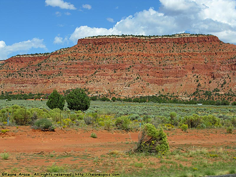
Location: Grand Staircase - Escalante NM / US-89, Utah Image: 47 of 89
Description: Vermilion Cliffs
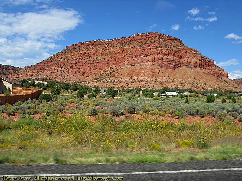
Location: Grand Staircase - Escalante NM / US-89, Utah Image: 48 of 89
Description: Vermilion Cliffs
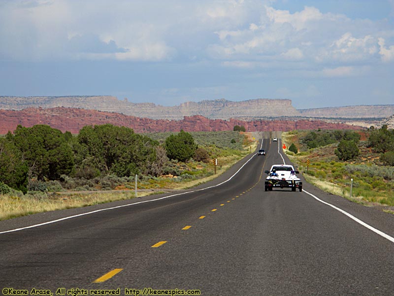
Location: Grand Staircase - Escalante NM / US-89, Utah Image: 49 of 89
Description: Vermilion Cliffs
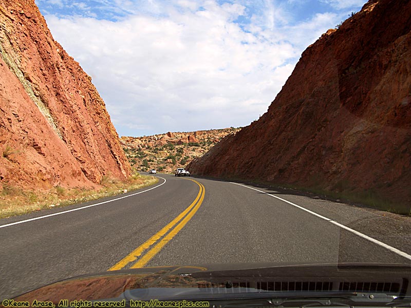
Location: Grand Staircase - Escalante NM / US-89, Utah Image: 50 of 89
Description: Vermilion Cliffs
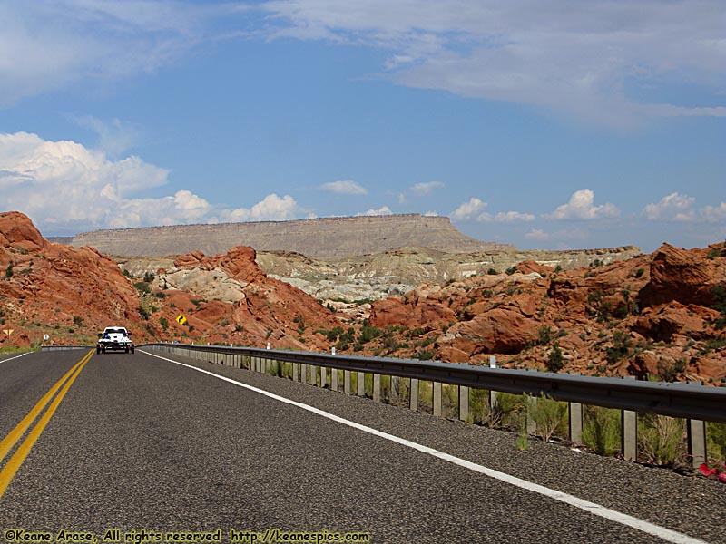
Location: Grand Staircase - Escalante NM / US-89, Utah Image: 51 of 89
Description: Vermilion Cliffs
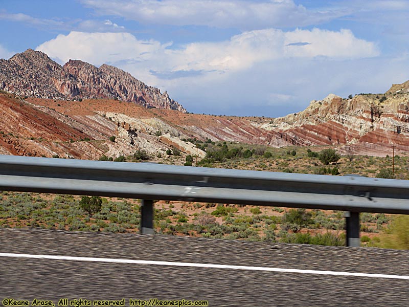
Location: Grand Staircase - Escalante NM / US-89, Utah Image: 52 of 89
Description: Vermilion Cliffs
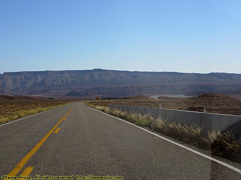
Location: US-163 Image: 53 of 89
Description: Along US-163
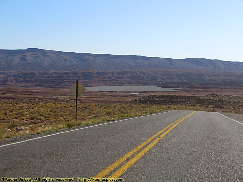
Location: US-163 Image: 54 of 89
Description: Along US-163
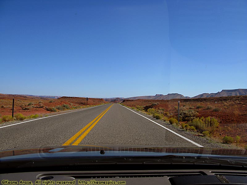
Location: US-163 Image: 55 of 89
Description: Along US-163
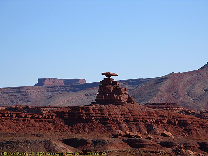
Location: US-163 Image: 56 of 89
Description: Mexican Hat
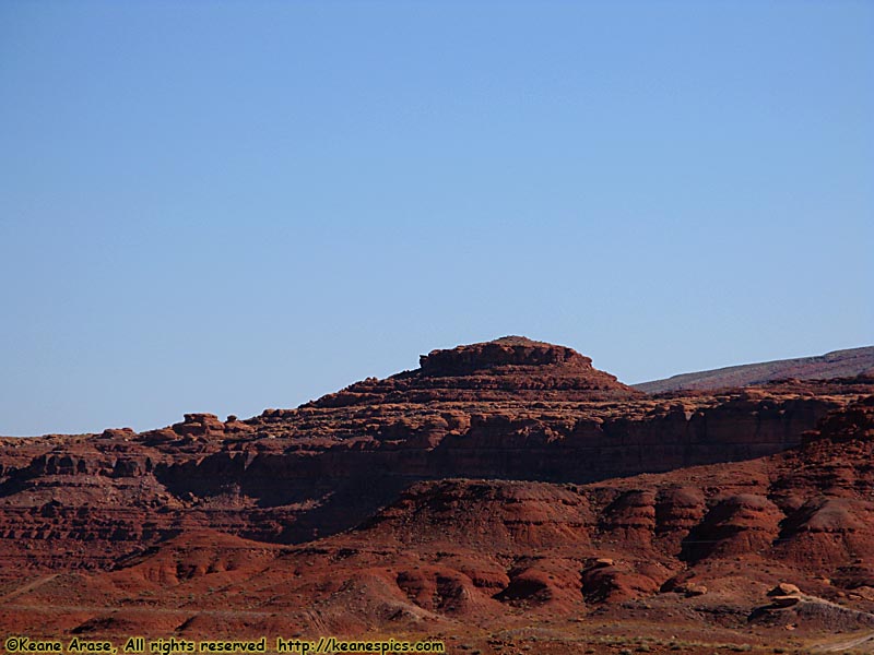
Location: US-163 Image: 57 of 89
Description: Mexican Hat
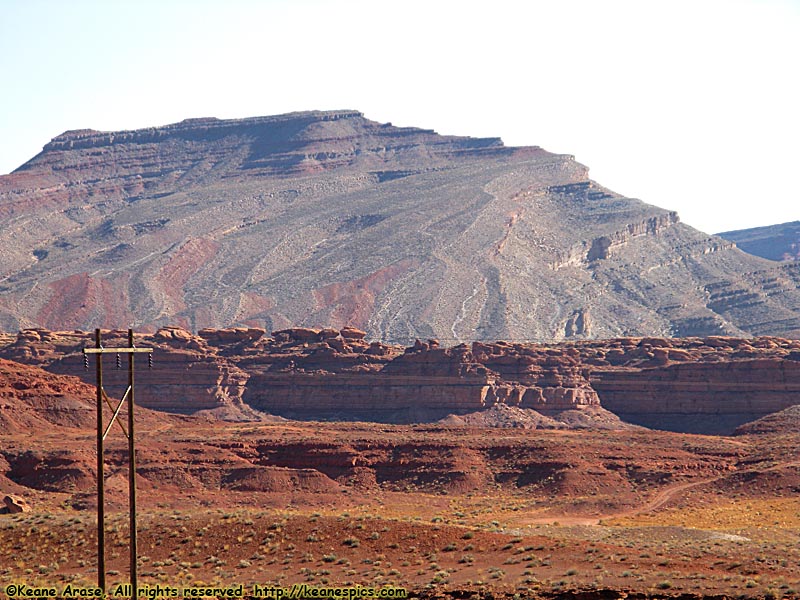
Location: US-163 Image: 58 of 89
Description: Mexican Hat
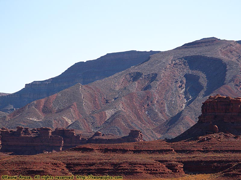
Location: US-163 Image: 59 of 89
Description: Mexican Hat
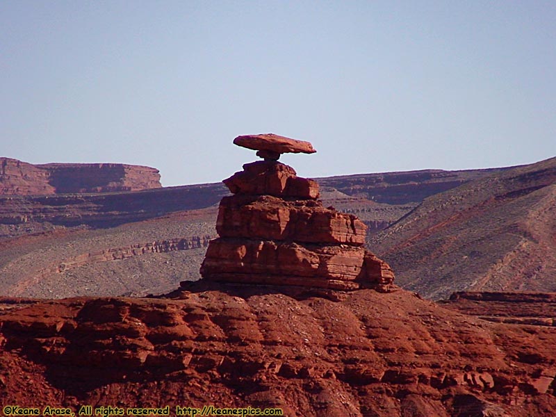
Location: US-163 Image: 60 of 89
Description: Mexican Hat
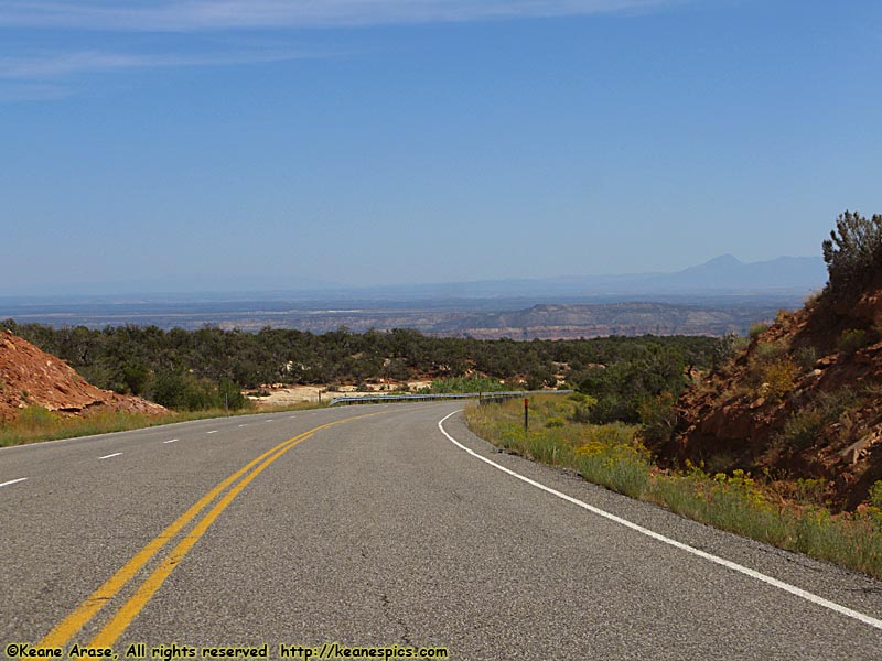
Location: SR-95, Utah Image: 61 of 89
Description: Along SR-95
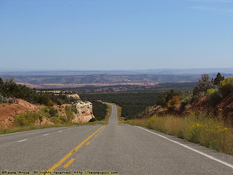
Location: SR-95, Utah Image: 62 of 89
Description: Along SR-95
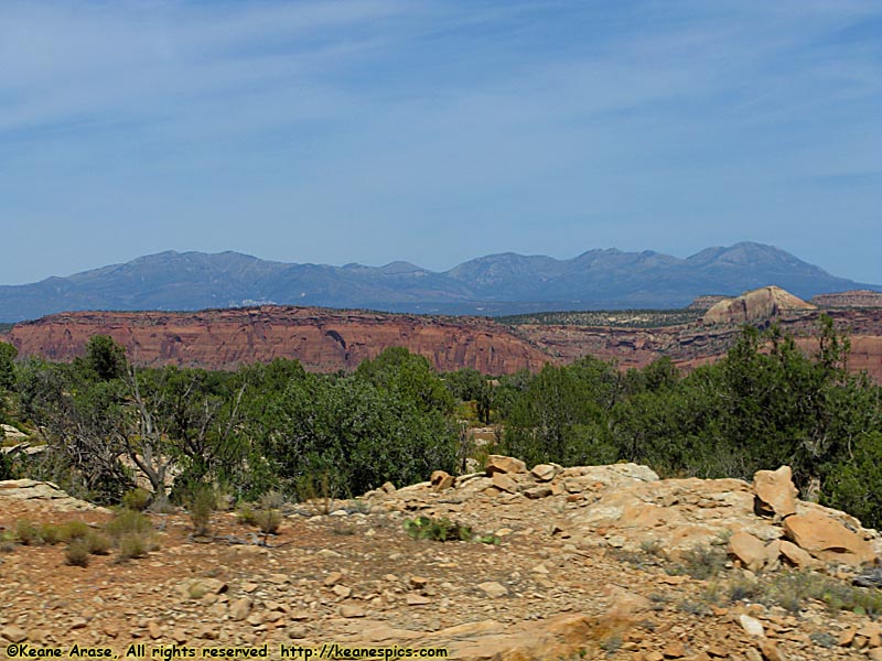
Location: SR-95, Utah Image: 63 of 89
Description: Along SR-95
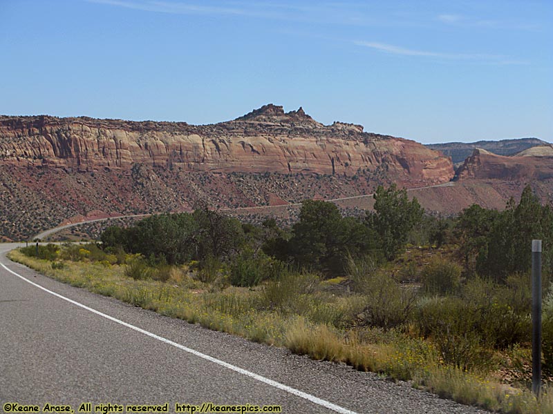
Location: SR-95, Utah Image: 64 of 89
Description: Comb Ridge
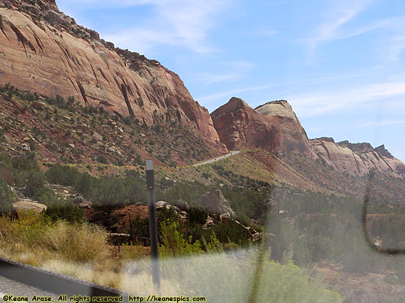
Location: SR-95, Utah Image: 65 of 89
Description: Comb Ridge
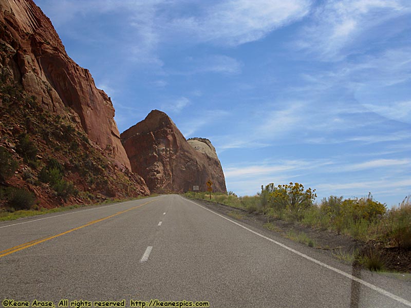
Location: SR-95, Utah Image: 66 of 89
Description: Comb Ridge
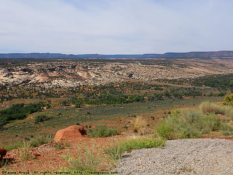
Location: SR-95, Utah Image: 67 of 89
Description: Comb Ridge
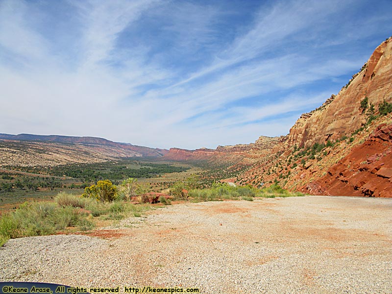
Location: SR-95, Utah Image: 68 of 89
Description: Comb Ridge
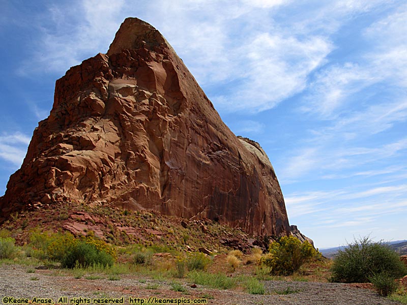
Location: SR-95, Utah Image: 69 of 89
Description: Comb Ridge
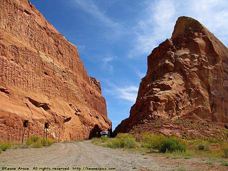
Location: SR-95, Utah Image: 70 of 89
Description: Comb Ridge
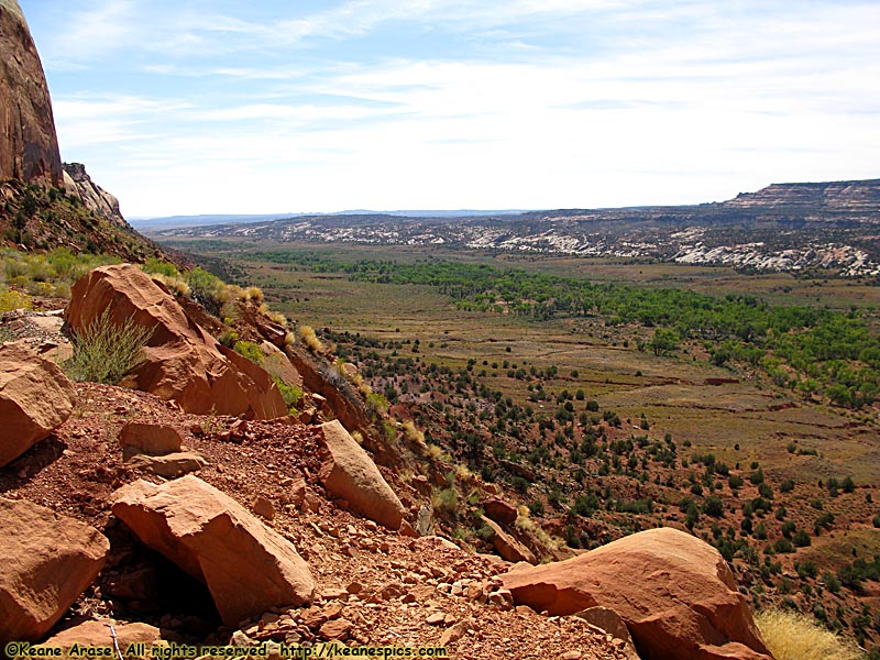
Location: SR-95, Utah Image: 71 of 89
Description: Comb Ridge
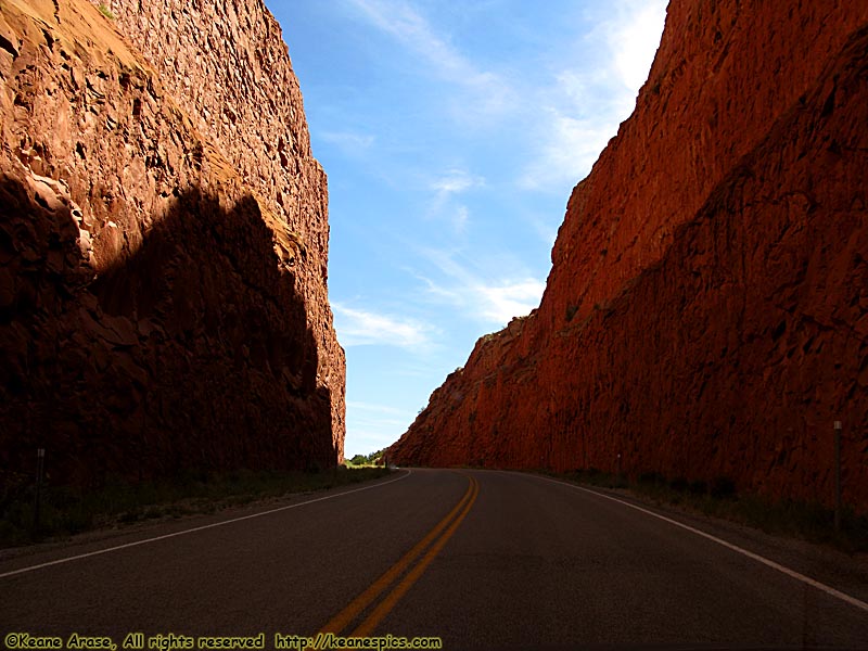
Location: SR-95, Utah Image: 72 of 89
Description: Comb Ridge
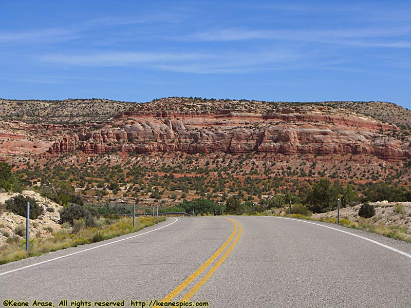
Location: SR-95, Utah Image: 73 of 89
Description: Along SR-95
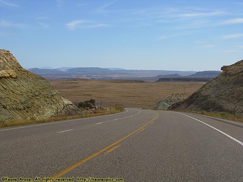
Location: SR-262, Utah Image: 74 of 89
Description: Along SR-262
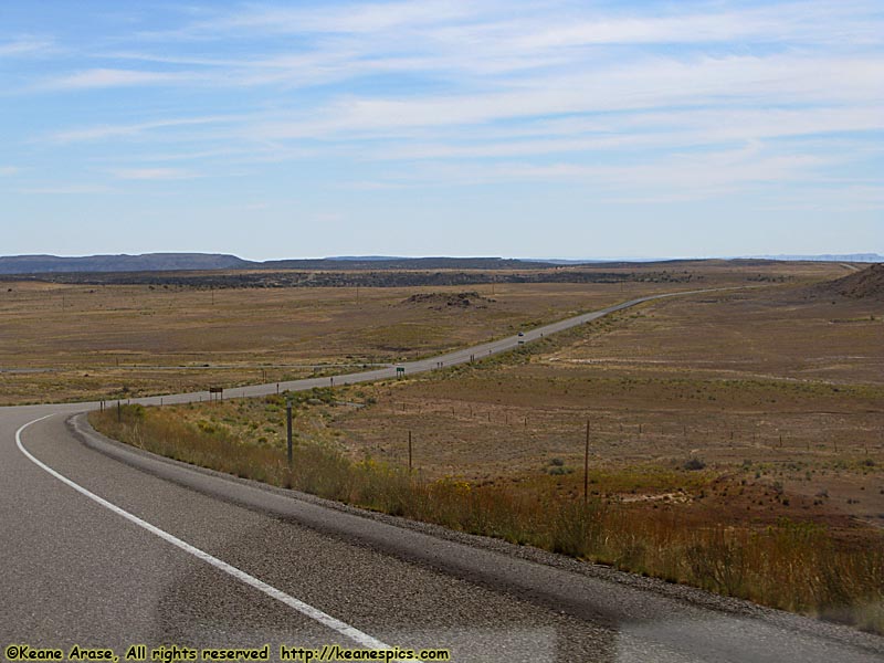
Location: SR-262, Utah Image: 75 of 89
Description: Along SR-262
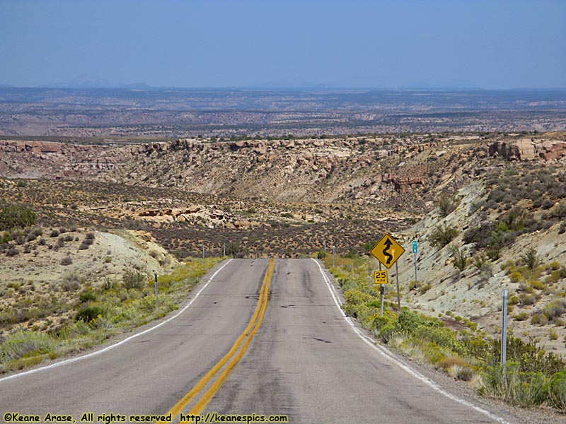
Location: SR-262, Utah Image: 76 of 89
Description: Along SR-262
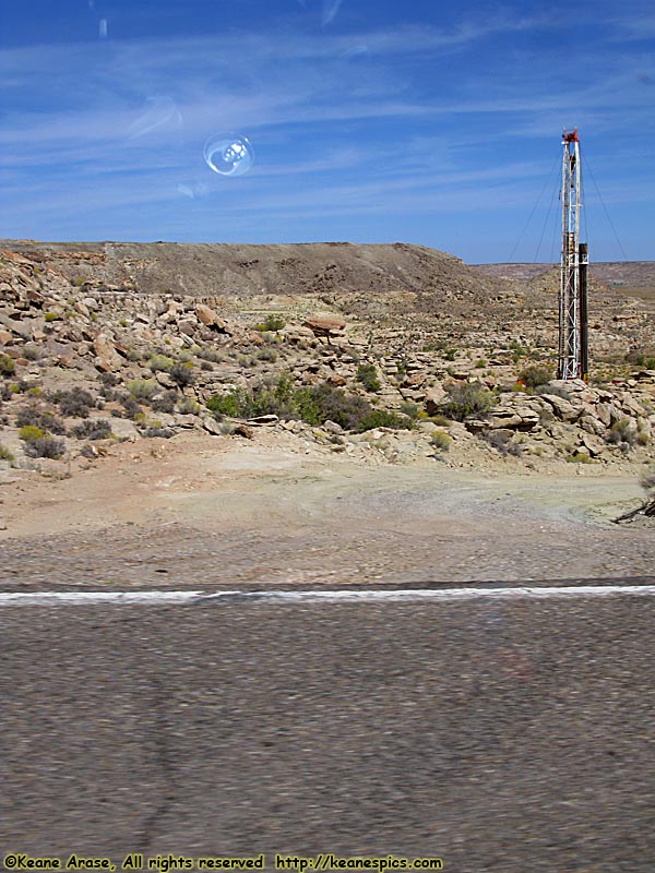
Location: SR-262, Utah Image: 77 of 89
Description: Along SR-262
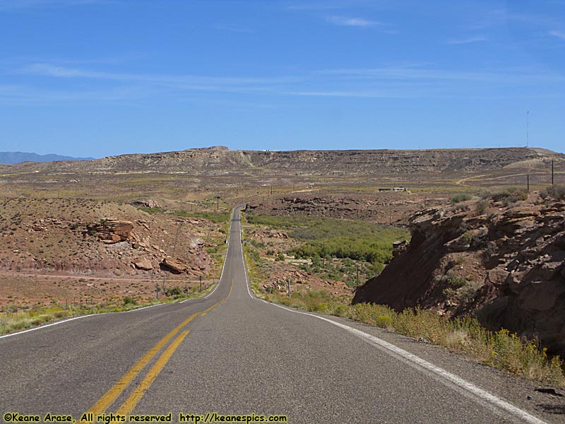
Location: SR-262, Utah Image: 78 of 89
Description: Along SR-262
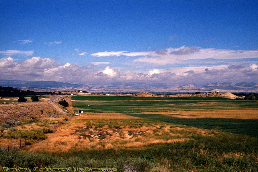
Location: Along US-40, Utah Image: 79 of 89
Description: Along US-40, Utah
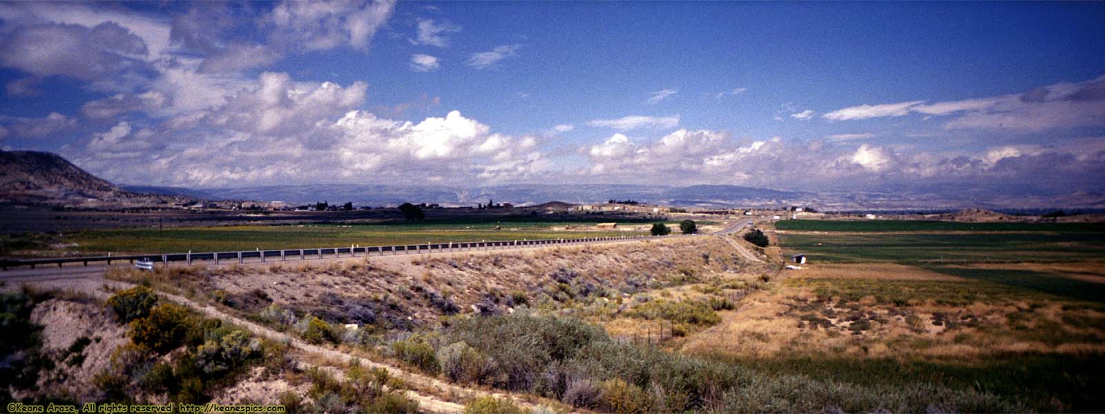
Location: Along US-40, Utah Image: 80 of 89
Description: Along US-40, Utah
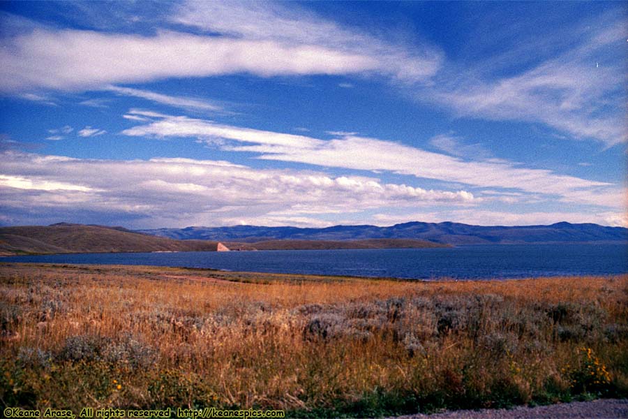
Location: Along US-40, Utah Image: 81 of 89
Description: Strawberry Reservoir, Utah
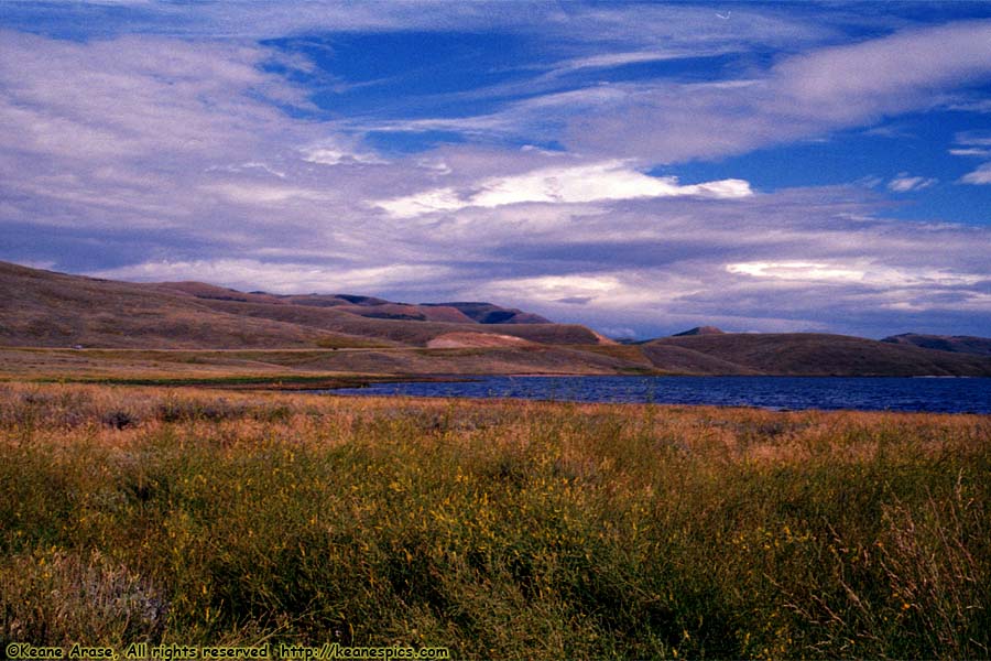
Location: Along US-40, Utah Image: 82 of 89
Description: Strawberry Reservoir, Utah
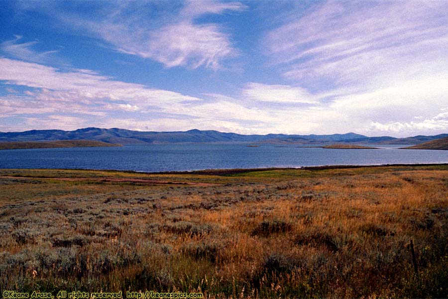
Location: Along US-40, Utah Image: 83 of 89
Description: Strawberry Reservoir, Utah
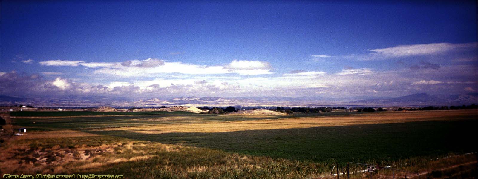
Location: Along US-40, Utah Image: 84 of 89
Description: Along US-40, Utah
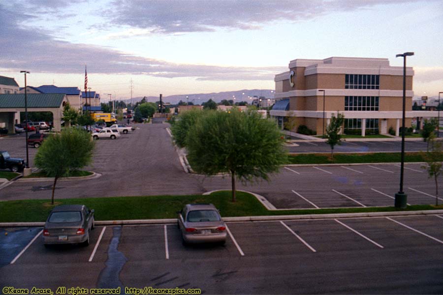
Location: Provo, Utah Image: 85 of 89
Description: View from the Room
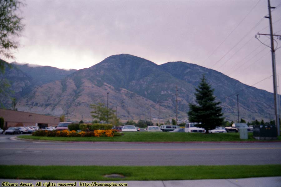
Location: Provo, Utah Image: 86 of 89
Description: Wasatch Range
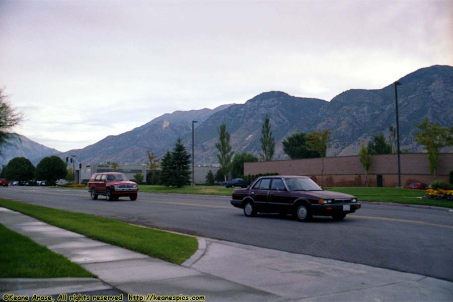
Location: Provo, Utah Image: 87 of 89
Description: Wasatch Range
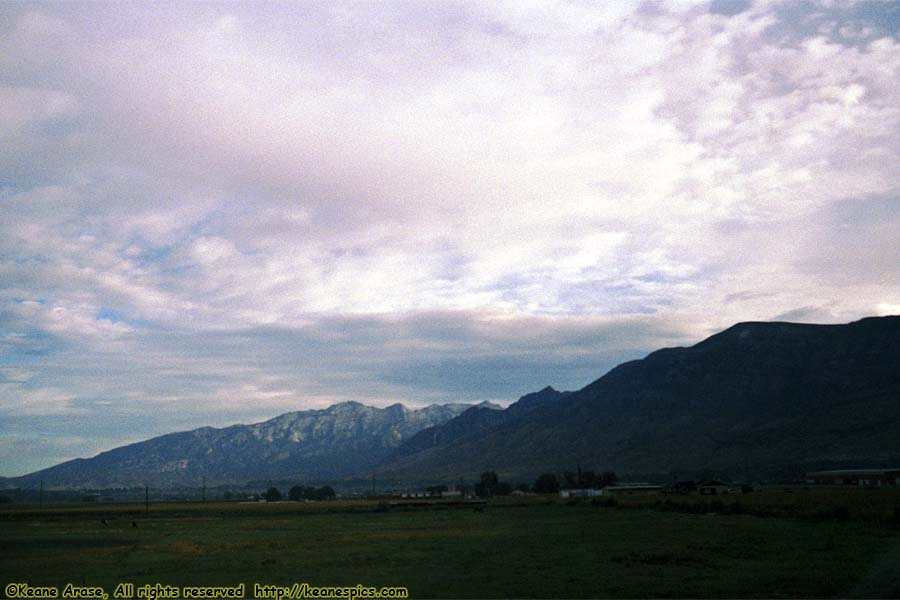
Location: Along I-15, Utah Image: 88 of 89
Description: Wasatch Range
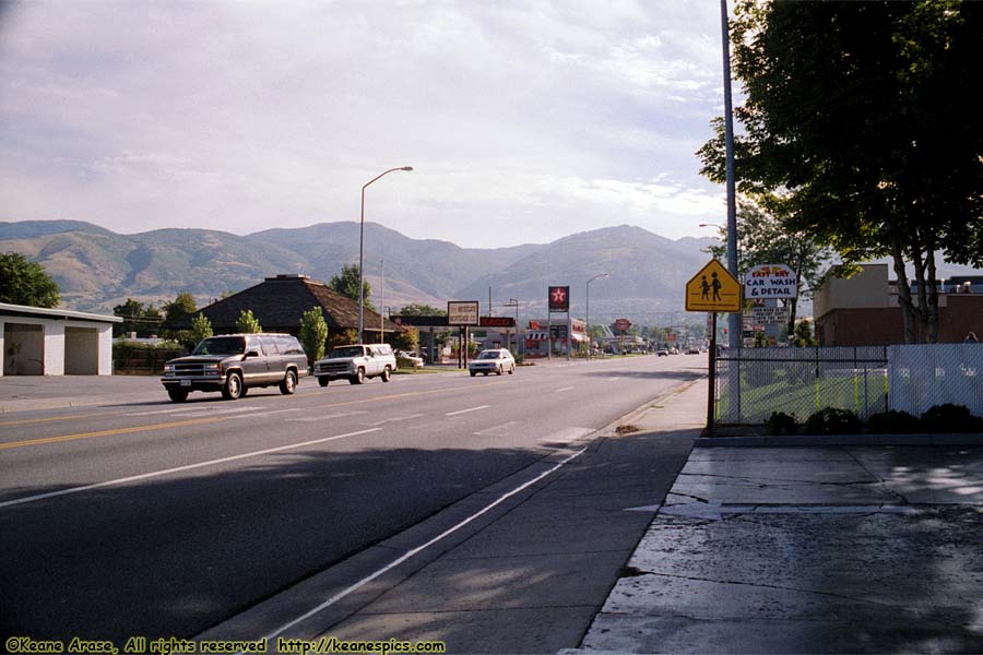
Location: Bountiful, Utah (Oil change) Image: 89 of 89
Description: Wasatch Range